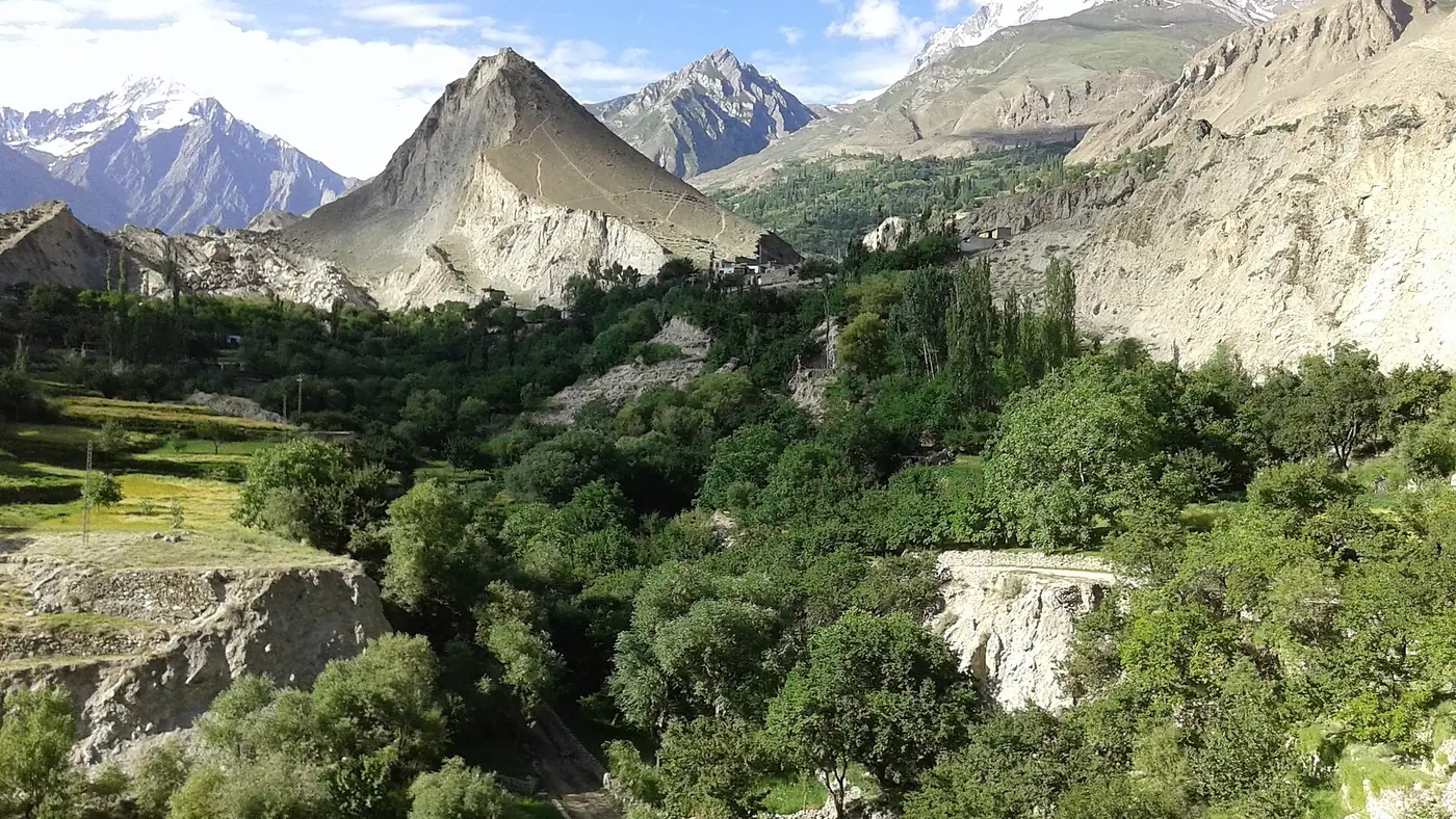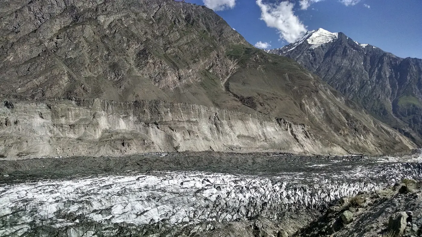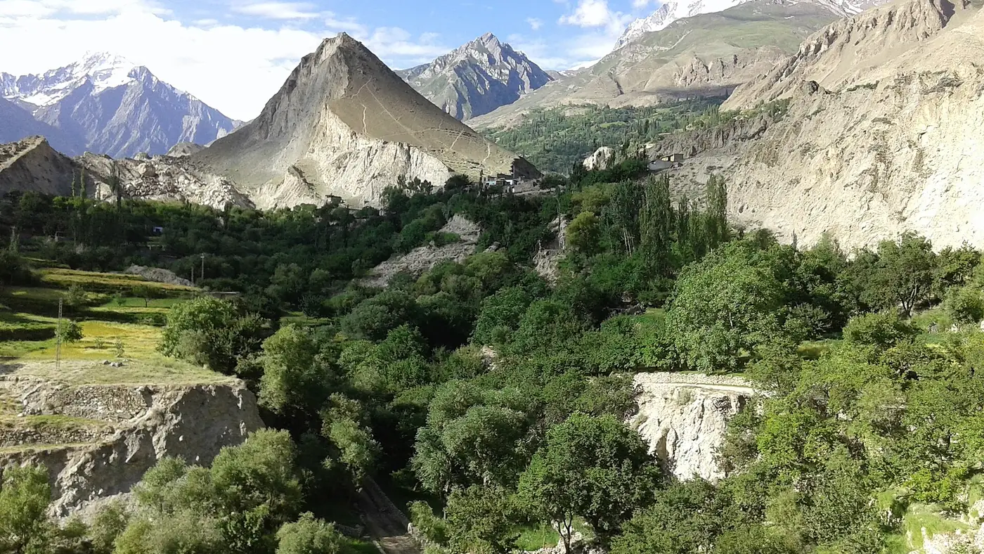
Rakaposhi is a 7,788-metre mountain in Nagar district, Gilgit-Baltistan, the 27th-highest in the world and the 11th-highest in Pakistan. It was first climbed on 25 June 1958 by Mike Banks and Tom Patey of a British–Pakistani forces expedition. What sets Rakaposhi mountain apart is how close it comes to the road: its north face rises about 5,900 metres from the Hunza river in a horizontal distance of only about 11 km, so from the Karakoram Highway at Ghulmet you look almost straight up it.
This guide covers the mountain itself, its names, the long story of how it was climbed, and the places you can see it from without climbing anything.
| At a glance | |
|---|---|
| Height | 7,788 m |
| Rank | 27th highest in the world; 11th in Pakistan |
| Prominence | About 2,800 m |
| Range | The Rakaposhi–Haramosh group of the Karakoram |
| Location | Nagar district, between the Nagar and Bagrot valleys |
| First ascent | 25 June 1958, Mike Banks and Tom Patey |
| Local name | Dumani, "mother of mists" |
| Closest roadside view | Rakaposhi View Point, Ghulmet, on the KKH |
| Trek to its foot | Rakaposhi base camp from Minapin |
How high is Rakaposhi, and where is it?
Rakaposhi's summit stands at 7,788 metres. It is the highest peak of the Rakaposhi–Haramosh mountains, a sub-range of the Karakoram bounded by the Hunza river to the west, the Gilgit and Indus rivers to the south, and the Barpu and Chogo Lungma glaciers to the north. Its neighbours in the group include Diran, 7,266 metres, just to its east, and further away Malubiting and Haramosh.
The mountain sits between the Nagar valley on its northern side and the Bagrot valley on its south-eastern side. The summit is only about 30 km from Gilgit in a straight line, but the road around to its northern foot is some 70 km long.
The numbers that matter to a visitor are the vertical ones. Its prominence, the height it stands above the lowest col linking it to a higher peak, is about 2,800 metres. On the north side the ground falls from the summit to the Hunza river, below 2,000 metres, in one great sweep of ice and rock. Few mountains anywhere show that much of themselves from a main road.
What does the name mean?
Rakaposhi is usually translated as "shining wall", and the name is also often explained as "snow-covered". Locally the mountain is called Dumani, "mother of mists" or "mother of clouds", a name anyone who has waited at Ghulmet for the summit to clear will understand. Cloud tends to gather on the upper face as a summer day goes on.
Early attempts, 1892 to 1956
Rakaposhi took more than 60 years of attempts to climb:
- 1892. The explorer Martin Conway explored the south side of the mountain during his Karakoram expedition.
- 1938. Vyvyan and Secord reached a forepeak on the north-west side at about 5,800 metres.
- 1947. Secord returned with the mountaineer H. W. Tilman and two Swiss climbers, and again fell short.
- 1954. A Cambridge University party that included George Band, who made the first ascent of Kangchenjunga a year later, reached about 6,340 metres.
- 1956. Mike Banks led an expedition that reached about 7,163 metres, and came back two years later to finish the job.
The first ascent in 1958
Banks returned in 1958 as leader of the British–Pakistani Forces Himalayan Expedition. The team was drawn from the British armed services, with three Pakistani members: Captain Raja Mohammad Aslam of the Punjab Regiment, Captain Shah Khan of the Northern Scouts, and Sahib Shah of the Surveyor General's department.
They flew to Gilgit on 11 May, set up base camp at about 4,300 metres on 20 May, and spent a month pushing a line of six camps up the south-west spur in repeated snowstorms. The main obstacle was the Monk's Head, a steep face of snow and ice high on the spur.
On 25 June 1958, Banks and Tom Patey, a Royal Navy surgeon, reached the summit at 1:45 in the afternoon, in a blizzard and without supplementary oxygen. Both came down with minor frostbite. It would be more than 20 years before anyone stood on top again.
Later ascents and routes
Rakaposhi has seen far less climbing than Pakistan's 8,000-metre peaks. A 2025 history of the mountain by Explorersweb counted fewer than a dozen parties that had reached the summit. The main climbs since 1958:
- 1979: a Polish–Pakistani expedition climbed a new route up the north-west ridge. Ryszard Kowalewski, Tadeusz Piotrowski and Sher Khan reached the top on 1 July, followed by more of the team, including Anna Czerwińska and Krystyna Palmowska as a women's pair. On 2 August a Japanese team from Waseda University climbed the north spur.
- 1984: the Canadians Barry Blanchard, David Cheesmond and Kevin Doyle climbed the north spur in light, semi-alpine style.
- 1995: the Colombian climber Anibal Pineda made a solo ascent.
- 2019: the Japanese climbers Kazuya Hiraide and Kenro Nakajima climbed the unclimbed south face to the south-east ridge in alpine style, reaching the summit on 2 July. The climb won a Piolet d'Or, mountaineering's best-known award, in 2020.
- 2021: two Czech climbers and the Pakistani climber Wajidullah Nagri repeated the original south-west spur in September.
The three established lines are the long south-west spur of 1958, with its rock pinnacles and the Monk's Head; the long and technical north-west ridge; and the shorter but harder north spur. Climbing the mountain needs an expedition permit, and it remains a serious undertaking even for experienced mountaineers.
Where can you see Rakaposhi?
You don't need to climb, or walk far, to see it. From easiest to hardest:
- The Karakoram Highway at Ghulmet. The Rakaposhi View Point, about 70 km from Gilgit, is the closest roadside view: cafés beside a glacier stream, with the summit about 11 km away. Our guide to the Rakaposhi View Point covers the stop and the best time of day.
- Karimabad and the forts. Rakaposhi fills the view across the river from central Hunza, from hotel terraces, from the roof of Baltit Fort, and from Altit.
- Eagle's Nest at Duikar. The viewpoint above Altit looks across the whole valley to Rakaposhi and Diran, and is best at sunrise. See our guide to Eagle's Nest.
- The Bagrot valley. A jeep trip from Gilgit to the upper valley shows the mountain's eastern side, with Diran above the Hinarchi glacier. Our Bagrot valley guide explains the day.
- Rakaposhi base camp. The walk from Minapin, described below, takes you to the foot of the north face.
For how Rakaposhi compares with the other giants of the north and where to see each one, our guide to the highest peaks in Gilgit-Baltistan puts them side by side.
Can you trek to Rakaposhi base camp?
Yes, and it is one of the most popular short treks in Nagar. The trail starts at Minapin, a village just off the highway a few kilometres beyond Ghulmet, and climbs beside the Minapin glacier to Hapakun, a campsite on the way, and then to Tagaphari, the base camp meadow beneath Rakaposhi and Diran.
Most walkers split the climb over two days, camping at Hapakun, and come down on the third. Fit, acclimatised walkers sometimes go up and back faster, but the steep ground and the altitude make that a hard day. Guides and porters can be arranged in Minapin. Going on across the glacier towards Diran base camp is a different matter: the ice is crevassed, and it needs an experienced local guide.
The season runs from late spring to early autumn, roughly May to September. Our guide to camping in Gilgit-Baltistan covers the campsites and what to carry.
Which view should you go for?
For most people, the roadside stop at Ghulmet is enough: it asks nothing of anyone, it is on the way to Hunza anyway, and on a clear morning it shows the whole north face. Add Eagle's Nest at sunrise if you are staying in Karimabad.
If you have a spare two or three days and can walk uphill for several hours, the base camp trek from Minapin is the best way to understand the size of the mountain, and it is within reach of fit walkers, including teenagers used to hiking. If you are based in Gilgit with a day free, Bagrot shows a side of Rakaposhi most visitors never see.
Our Gilgit and Hunza page shows how Rakaposhi fits into a wider trip along the Karakoram Highway.
Frequently asked questions
How high is Rakaposhi?
Rakaposhi is 7,788 metres high, the 27th-highest mountain in the world and the 11th-highest in Pakistan.
Who first climbed Rakaposhi?
Mike Banks and Tom Patey, members of the British–Pakistani Forces Himalayan Expedition, reached the summit on 25 June 1958 by the south-west spur, without supplementary oxygen.
Is Rakaposhi in Hunza or Nagar?
It is in Nagar district, on the south side of the Hunza river. Because it faces central Hunza across the river, many visitors think of it as a Hunza mountain.
What does Rakaposhi mean?
The name is usually translated as "shining wall". Its local name, Dumani, means "mother of mists", after the cloud that often gathers on the summit.
Where is the best place to see Rakaposhi?
The Rakaposhi View Point at Ghulmet on the Karakoram Highway gives the closest roadside view. Eagle's Nest above Karimabad gives the widest view, best at sunrise.
Can you trek to Rakaposhi base camp?
Yes. The trail starts in Minapin and reaches the base camp meadow at Tagaphari, usually over two days with a night at Hapakun. It runs roughly from May to September.