The highest peaks in Gilgit-Baltistan are K2 at 8,611 metres, Nanga Parbat at 8,126, Gasherbrum I at 8,080, Broad Peak at 8,051 and Gasherbrum II at 8,035: five of the world's fourteen 8,000-metre mountains. Of those five, only Nanga Parbat can be seen from a road. The others stand around the upper Baltoro glacier and are seen only by trekkers. But a long list of 7,000-metre peaks, including Rakaposhi, Ultar Sar, Masherbrum and Haramosh, can be seen from the Karakoram Highway, the Skardu road or a short drive off them.
This guide ranks the highest peaks in the region and gives, for each, the nearest viewpoint you can reach by road, or says honestly that there isn't one.
| Rank | Peak | Height | Nearest viewpoint by road |
|---|---|---|---|
| 1 | K2 | 8,611 m | None; the nearest view is Concordia, a week's trek from Askole |
| 2 | Nanga Parbat | 8,126 m | Nanga Parbat View Point at Talechi, on the KKH |
| 3 | Gasherbrum I | 8,080 m | None; seen only on the Baltoro trek |
| 4 | Broad Peak | 8,051 m | None; seen only on the Baltoro trek |
| 5 | Gasherbrum II | 8,035 m | None; seen only on the Baltoro trek |
| 6 | Gasherbrum IV | 7,925 m | None; seen from Concordia on the Baltoro trek |
| 7 | Distaghil Sar | 7,885 m | None; trekking country |
| 8 | Kunyang Chhish | 7,852 m | None; the Hispar glacier |
| 9 | Masherbrum | 7,821 m | The jeep road up the Hushe valley |
| 10 | Batura Sar | 7,795 m | None; set far back from the highway |
| 11 | Rakaposhi | 7,788 m | Rakaposhi viewpoint at Ghulmet, on the KKH |
| 12 | Kanjut Sar | 7,760 m | None; trekking country |
| 13 | Shispare | 7,611 m | Passu and Hussaini, on the KKH |
| 14 | Passu Sar | 7,476 m | The Passu glacier, beside the KKH |
| 15 | Haramosh | 7,409 m | The Gilgit–Skardu road along the Indus |
| 16 | Ultar Sar | 7,388 m | Karimabad and Duikar |
Heights differ by a few metres between surveys. This list follows the most commonly published figures and leaves out subsidiary summits such as Gasherbrum III, and Saltoro Kangri, 7,742 metres, which stands on the disputed Siachen front. Tirich Mir, higher than several peaks on the list, is in Chitral rather than Gilgit-Baltistan.
The five eight-thousanders
K2, 8,611 metres, is the second-highest mountain on earth, on the border with China at the head of the Baltoro glacier. It cannot be seen from any road or village, not even from Askole, the last village on the way in. The classic view is from Concordia, where the Baltoro meets the Godwin-Austen glacier, about a week's walk from Askole. Our K2 base camp trek guide covers the route.
Nanga Parbat, 8,126 metres, is the exception: the ninth-highest mountain in the world and the only one of the five you can see from a road. It stands alone at the western end of the Himalaya, above the Indus, and shows itself from several places:
- The Nanga Parbat View Point at Talechi on the Karakoram Highway, about 12 km north of Raikot Bridge. Our guide to the viewpoint covers when to stop.
- Fairy Meadows, by jeep from Raikot Bridge and a walk of a few hours, for the Rakhiot face across the meadow.
- Tarashing in the Rupal valley, reached by road from Astore, below the huge Rupal face.
- Babusar Top and Sheosar Lake on Deosai, on clear mornings.
Our guide to Nanga Parbat itself explains the three faces and which view to choose.
Gasherbrum I (8,080 m), Broad Peak (8,051 m) and Gasherbrum II (8,035 m) cluster with K2 around the upper Baltoro, on or near the border with China. None of them can be seen without trekking in.
The 7,000-metre peaks you can see from a road
This is where Gilgit-Baltistan is generous. Several of the highest peaks in the country rise straight out of inhabited valleys.
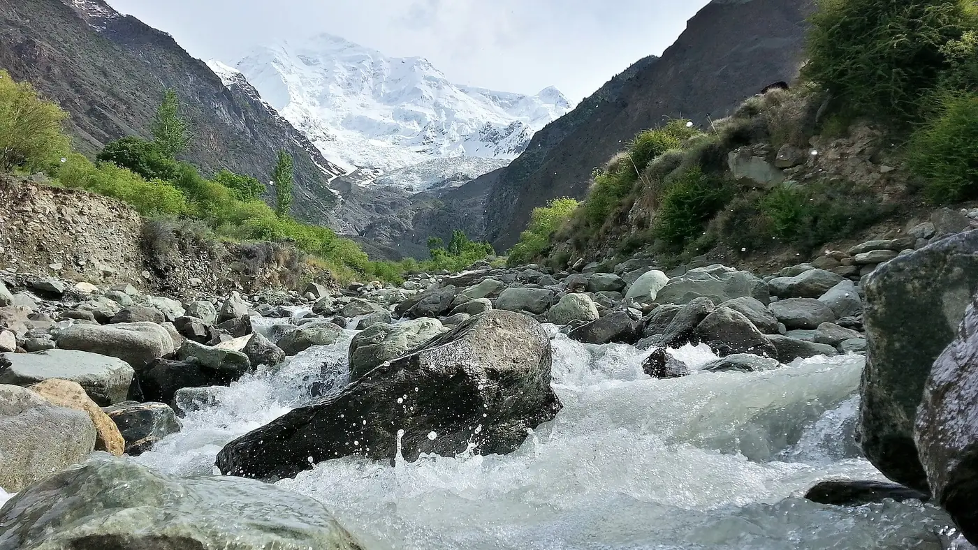
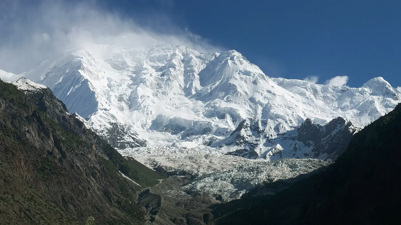
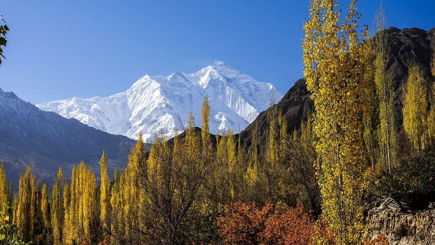
Rakaposhi, 7,788 metres, is the easiest great peak to see in Pakistan. It rises over the Nagar valley, about 100 km north of Gilgit, and its north face climbs some 5,900 metres from the Hunza River in little more than 11 km of horizontal distance. The Rakaposhi viewpoint at Ghulmet, beside the Karakoram Highway, is the closest roadside view.
Ultar Sar, 7,388 metres, is the mountain directly behind Karimabad, about 10 km to the north-east. Its south flank rises more than 5,300 metres above the river in about 9 km, and the rock spire of Ladyfinger stands on its ridge. It dominates the view from Karimabad and Altit.
Duikar, above Karimabad, is the best single viewpoint in Hunza: a paved road of about 6 km, roughly 20 minutes from Karimabad, to a ridge facing Rakaposhi, Diran, Golden Peak (Spantik), Ultar Sar and Ladyfinger. Go for sunrise or the last hour of light.
Shispare, 7,611 metres, and Passu Sar, 7,476 metres, stand at the head of the Passu glacier in Gojal. The glacier comes down almost to the Karakoram Highway at Passu, and from its snout both peaks are in view on a clear day. Shispare can also be seen from Hussaini.
Masherbrum, 7,821 metres, was the first peak the survey mapped in the Karakoram, which is why it was once called K1. Its south face is visible from the jeep road up the Hushe valley from Khaplu, and it is the backdrop to Hushe village, the last settlement in the valley.
Haramosh, 7,409 metres, rises steeply above the north bank of the Indus about 65 km east of Gilgit. The Gilgit–Skardu road runs along the river beneath it, and the massif is one of the great sights of that drive; Sassi, on the road, is the starting point for treks towards it.
The hidden giants
Several of the highest peaks in the region can't be seen from any road at all. They stand back in the heart of the Karakoram and are seen by trekkers and climbers.
- Gasherbrum IV, 7,925 metres, whose west face looms over Concordia.
- Distaghil Sar, 7,885 metres, and Kanjut Sar, 7,760 metres, in the Hispar Muztagh, north of the Hispar glacier.
- Kunyang Chhish, 7,852 metres, on the northern side of the Hispar glacier.
- Batura Sar, 7,795 metres, the highest peak of the Batura range, set so far back from the Hunza valley that it is much less known than Rakaposhi despite being slightly higher.
Seeing these means a multi-day trek with a licensed guide.
Road viewpoints, route by route
If you are planning a road trip, these are the stops to build in:
- Karakoram Highway, Chilas to Gilgit. Nanga Parbat from Talechi. Stop in the morning.
- Karakoram Highway through Nagar. Rakaposhi from Ghulmet.
- Karimabad. Ultar Sar from the town, and the full panorama from Duikar.
- Gojal. Shispare and Passu Sar from Passu and Hussaini.
- Gilgit to Skardu. Haramosh above the Indus.
- Khaplu and Hushe. Masherbrum from the Hushe valley road.
Our nine-day Gilgit, Hunza and Khunjerab tour covers the Hunza stops: Ghulmet for Rakaposhi, a sunset at Duikar, and a day at Passu.
When the peaks are clearest
- Go early. On most days the high summits are clearest in the morning, and cloud builds around them by early afternoon.
- Autumn is best. October and early November bring the clearest air of the year. July and August are often hazy or cloudy, especially around Nanga Parbat.
- Keep a flexible day. A single cloudy morning can hide a mountain completely. If a view matters to you, stay two nights nearby rather than passing through once.
Our travel guide covers the altitude, weather and packing that come with a trip to the high valleys.
Which views are worth the trip?
If you only have a week, the Hunza stretch of the Karakoram Highway gives you the most mountain for the least effort: Rakaposhi, Ultar Sar, Shispare and the Duikar panorama, all from a car. Add the Talechi stop for Nanga Parbat on the way up.
For Nanga Parbat properly, Fairy Meadows is worth the jeep ride and the walk. Masherbrum from the Hushe valley is a fine long day from Khaplu for anyone already in Baltistan.
K2 and the Gasherbrums are a different undertaking altogether: two weeks or more on the Baltoro. Don't expect to glimpse them from Skardu.
Frequently asked questions
What is the highest peak in Gilgit-Baltistan?
K2, at 8,611 metres, the second-highest mountain in the world. It stands on the border with China at the head of the Baltoro glacier.
Can you see K2 from a road?
No. K2 is hidden even from Askole, the last village on the approach, and the nearest good view is from Concordia, about a week's trek up the Baltoro glacier.
Where can you see Nanga Parbat from the Karakoram Highway?
From the Nanga Parbat View Point at Talechi, about 12 km north of Raikot Bridge. Mornings, and the autumn months, give the clearest views.
Which mountains can you see from Hunza?
Rakaposhi, Ultar Sar, Ladyfinger, Diran and Golden Peak from Karimabad and Duikar, and Shispare and Passu Sar from Passu and Hussaini in Gojal.
How many 8,000-metre peaks are in Gilgit-Baltistan?
Five: K2, Nanga Parbat, Gasherbrum I, Broad Peak and Gasherbrum II. Four of them stand around the upper Baltoro glacier.