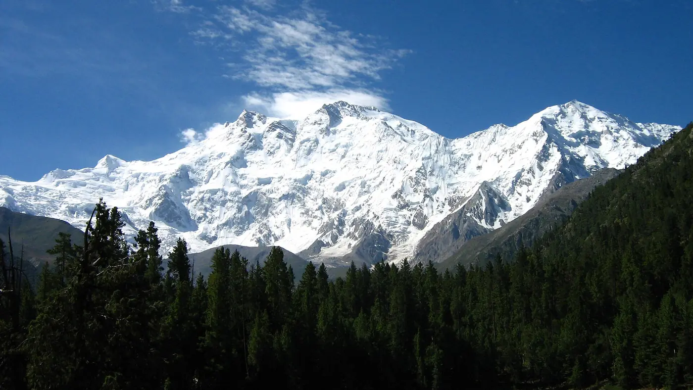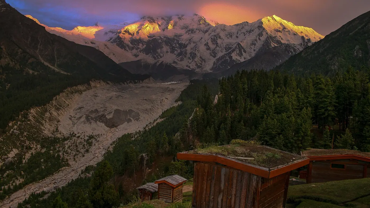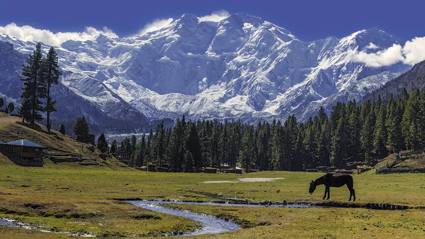
The Nanga Parbat View Point on the Karakoram Highway is at Talechi, also spelt Thalichi, about 12 km north of Raikot Bridge on the road between Chilas and Gilgit. It is a signed roadside stop with tea stalls, looking south across the Indus valley at the north side of Nanga Parbat, 8,126 metres and the ninth-highest mountain in the world. Stop for 15 to 30 minutes, and try to pass in the morning, before cloud gathers around the summit.
This guide covers exactly where it is, when the view is clearest, what you are looking at, and what else is worth a stop on the same stretch of highway.
| At a glance | |
|---|---|
| Where | Talechi (Thalichi), on the Karakoram Highway in Diamer |
| From Raikot Bridge | About 12 km north, 15 minutes or so |
| From Gilgit | About 65 km south, roughly 1.5 hours |
| From Chilas | About 65 km, roughly 1.5 hours |
| Time needed | 15 to 30 minutes |
| Best time of day | Early to mid-morning; late afternoon is second best |
| Clearest months | Autumn and the dry winter months; July and August are often cloudy |
| Facilities | Tea stalls and a roadside hotel |
| Cost | Nothing; it is a roadside stop |
Where exactly is the viewpoint?
Talechi is a small village on the Karakoram Highway between Raikot Bridge and Jaglot, in the stretch where the highway runs along the Indus between Chilas and Gilgit. The viewpoint is on the roadside there, marked by a sign, with a few tea stalls and a small roadside hotel. Heading north from Raikot Bridge you reach it after about 12 km; heading south from Gilgit, it comes after Jaglot and before Raikot.
Talechi is also where the road to Astore branches off, so it is a place where traffic slows and turns. Pull fully off the highway to park, don't stop on a bend for a photo from the car, and watch for trucks when you cross the road.
What you are looking at
From Talechi you look south, across the Indus valley, to the north side of Nanga Parbat. This is the Rakhiot flank, which rises about 7,000 metres from the Indus valley to the summit in only 25 km, one of the greatest rises from valley to summit anywhere on earth. It was this side that the German expeditions of the 1930s attempted, and by this side that Hermann Buhl made the first ascent on 3 July 1953, climbing the final stretch alone.
Nanga Parbat is known as the Killer Mountain for the number of climbers who have died on it. Its most famous wall, the Rupal face, rising about 4,600 metres above its base, is on the far side of the mountain and cannot be seen from here; that side is reached through Astore.
Heading north, there is a second reward on a very clear day: far ahead up the valley, Rakaposhi comes into view, and for a few moments two of the great peaks of the north are in sight from one stretch of road.
When to stop: time of day and season
The mountain is south of the viewpoint, so at midday you are looking towards the sun. The light is flat and hazy, and in summer cloud often builds around the summit from late morning. For the clearest view:
- Early to mid-morning is the best time, when the air is cleanest and the mountain is most often free of cloud. If you are driving north from Chilas, leave early enough to pass Talechi by about 9 or 10 am.
- Late afternoon can be good too, as the sun moves west and lights the face from the side. Cloud that built up at midday sometimes clears towards evening.
- Autumn usually gives the most reliable views, once the monsoon has passed. Clear winter days are sharp as well, and the Karakoram Highway is kept open all year, though snow and slides can close stretches.
- July and August bring the monsoon, with more cloud and haze. You may still see the mountain in the early morning, but a completely hidden summit is common.
If the summit is in cloud, stop for tea anyway and give it a few minutes. Cloud on Nanga Parbat moves quickly, and a gap often opens briefly.
Photo tips
- Use the foreground. The Indus valley, the road and the bare slopes below the snow give the mountain its scale. A shot of the summit alone loses the 7,000 metres of rise that make this view special.
- Zoom in as well. A longer lens or your phone's zoom picks out the ice and ridges of the upper face.
- Protect the sky. On bright days, tap to expose for the snow, or the summit will turn white and featureless.
- Include people carefully. Ask before photographing locals, and keep clear of the traffic when you frame a group shot.
Nearby stops on the same road
The viewpoint sits in a stretch of highway with several good stops within an hour. From south to north:
- Chilas and its rock carvings, about 1.5 hours south. Thousands of carvings line the Indus around the town; our guide to places to visit in Chilas covers the best sites.
- Raikot Bridge, 12 km south, where the Karakoram Highway crosses the Indus and the jeeps leave for Tato and Fairy Meadows. Our Gilgit to Fairy Meadows guide explains how to time the jeep.
- Talechi and the Astore turn-off, the viewpoint itself, where the road to Astore and the Rupal side of Nanga Parbat leaves the highway.
- The junction of three mountain ranges, about 20 km north near Jaglot. A monument and signboard mark the place where the Himalaya, the Karakoram and the Hindu Kush meet, above the confluence of the Gilgit and Indus rivers. Allow 15 minutes.
- The Skardu road, which turns east off the highway a few kilometres further north at Alam Bridge.
- Gilgit, about 40 km beyond the junction.
A slow morning drive from Chilas to Gilgit with all of these stops takes four to five hours. Before any drive on this stretch, especially in July and August, check the Karakoram Highway road status, since slides can close the road around Raikot.
Not the same as the viewpoint above Fairy Meadows
People searching for the Nanga Parbat viewpoint often mean a different place: the viewpoint above Beyal camp at Fairy Meadows, reached on foot. That one stands close under the Rakhiot face, looking straight across the Raikot glacier, and takes a full day's walk there and back from the meadow. Our guide to things to do in Fairy Meadows covers the walk.
The roadside viewpoint at Talechi shows the whole mountain from a distance with no effort at all. The walking viewpoint puts you right beneath it. If you have time for Fairy Meadows, do both.
Is it worth stopping?
Yes, for almost everyone driving between Chilas and Gilgit: it costs a quarter of an hour, needs no walking, and on a clear morning shows you an 8,000-metre mountain rising from a desert valley. It is the easiest view of Nanga Parbat in the country for families with young children, older parents or anyone who cannot manage the jeep and the walk to the meadow.
It is not a destination in itself. There is nothing to do beyond the view and a cup of tea, and it is not worth a special drive from Gilgit on a cloudy day. If Nanga Parbat is the reason for your trip, plan on Fairy Meadows, where you wake up facing the same wall from 3,300 metres.
Frequently asked questions
Where is the Nanga Parbat View Point?
At Talechi (Thalichi), on the Karakoram Highway about 12 km north of Raikot Bridge, between Chilas and Gilgit. It is a signed roadside stop with tea stalls.
How far is the Nanga Parbat View Point from Gilgit?
About 65 km south of Gilgit, roughly an hour and a half by road. It makes a comfortable half-day outing combined with the junction of the three mountain ranges.
What is the best time to see Nanga Parbat from the viewpoint?
Early to mid-morning, before cloud builds around the summit. Autumn gives the most reliable views, while July and August are often cloudy.
Which side of Nanga Parbat can you see from the Karakoram Highway?
The north side, the Rakhiot flank, which rises about 7,000 metres from the Indus valley to the summit. The Rupal face is on the far side, reached through Astore.
Is there an entry fee at the Nanga Parbat View Point?
No. It is a roadside stop on the Karakoram Highway; you only pay for any tea or food you buy.
Is this the same viewpoint as the one at Fairy Meadows?
No. The Fairy Meadows viewpoint is above Beyal camp, reached on foot from the meadow, and sits right under the face. The Talechi viewpoint is on the highway and needs no walking.