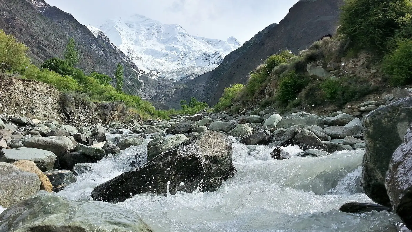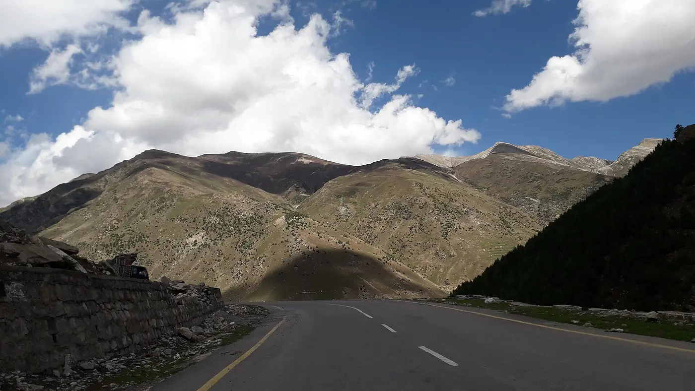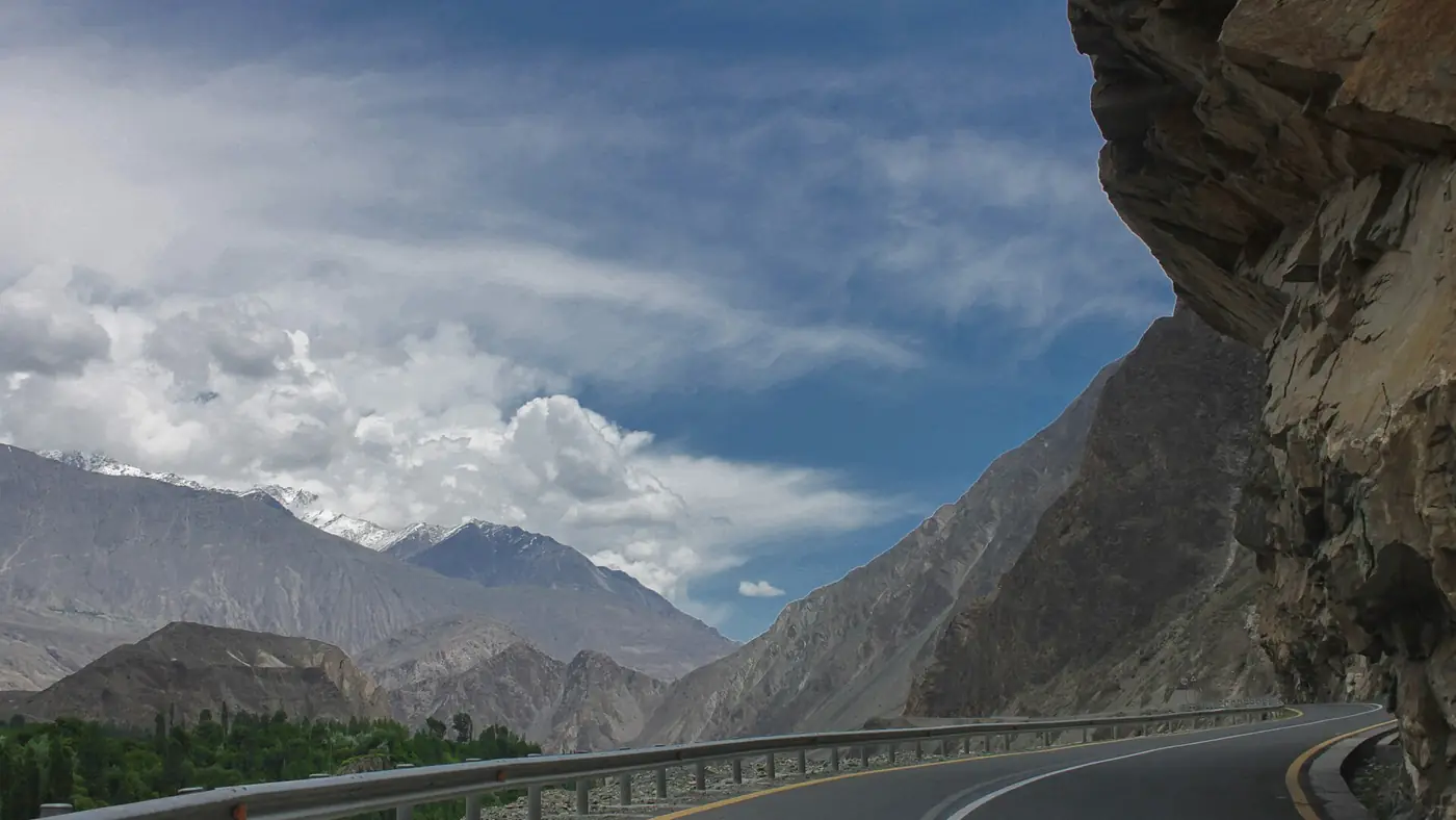
There is no single live map of Karakoram Highway road status, so the reliable way to check is to combine sources: the Gilgit-Baltistan Tourism Department's advisories, the Tourist Police helpline (1422 inside Gilgit-Baltistan), the National Highway Authority's official updates, and a call to your hotel or driver on the far side of the stretch that worries you. Check the evening before and again in the morning, because a landslide can close the road within the hour.
This guide covers where to look, how to read an update, the places between Chilas and Sost that close most often, and what to do when the road is shut.
| At a glance | |
|---|---|
| Tourist Police helpline | 1422 inside Gilgit-Baltistan; 05811-930055 from elsewhere |
| Rescue | 1122 |
| Motorway police (NHMP) | 130, for the motorways and the highways they patrol |
| Official advisories | GB Tourism Department website and social media; NHA's official accounts |
| Most closures | July and August, with a second peak in spring |
| Worst stretches | Kohistan (Dasu to Chilas) and Tatta Pani (Chilas to Raikot) |
| Summer detour | Babusar Pass, open roughly June to October |
How to check whether the KKH is open
Work through these in order. The first three are official; the last two are often faster.
- The Gilgit-Baltistan Tourism Department. Its website and social media carry travel advisories whenever the road is blocked, snow is forecast or a flood alert is issued. In recent seasons it has posted about the Tatta Pani blockage in July 2025, the closure between Pattan and Bursin in March 2026, the heavy snow of January 2026 and the reopening of the Jaglot to Skardu road in July 2026. Start at visitgilgitbaltistan.gov.pk.
- The Tourist Police, on 1422. The helpline works from any phone inside Gilgit-Baltistan and is staffed around the clock in each district. From outside the region the published number is 05811-930055. They can tell you whether a stretch is open and what is happening at a blockage.
- The National Highway Authority. The KKH is national highway N-35. During closures the NHA issues clearance updates through its spokesperson, and its official X and Facebook accounts are linked from nha.gov.pk. The Motorway Police on 130 cover the motorways and the Hazara Motorway; in May 2026 the 130 line was partly down for a while and alternative numbers were issued, so don't rely on one number.
- District administrations. Closures and timed openings in Kohistan, Diamer and Hunza are often announced first by the district administration. The timed closures at Samar Nullah near Dasu in 2026, for example, came from Upper Kohistan.
- People on the ground. Your hotel, your driver, or a transport company running buses on the route will usually know within minutes if the road has closed near them. In Hunza, local news pages such as Pamir Times report blockages quickly.
For weather, the Pakistan Meteorological Department issues heavy-rain warnings and glacial lake outburst flood alerts. A PMD alert for Gilgit-Baltistan is the best early sign that the road may close in the next few days.
What to ignore: forwarded messages and videos with no date on them. Old landslide clips circulate every summer. The GB Disaster Management Authority has asked travellers to rely on official sources for exactly this reason.
Reading an update: what "open" really means
Road updates use a few phrases that are worth decoding:
- "Open for all traffic" means what it says, though there may still be one-lane sections where debris was cleared.
- "Open for light traffic" means cars and jeeps can pass but buses and trucks cannot. Expect queues.
- "Restoration work under way" means closed. Clearance can take a few hours or several days, depending on the size of the slide and whether it is still raining.
- Timed openings apply where construction or a slope needs managing. Under the schedule announced for Samar Nullah in May 2026, the road opened only between 8 and 10 am, 3 and 6 pm, and at night.
If you are caught at a blockage, you will sometimes see passengers walking across the debris to vehicles waiting on the other side. It happened at a rockfall between Gilgit and Nagar in December 2025, and at Gulmit in August 2025. Don't do it while rock is still moving or rain is still falling, and never cross with children on a slope that is still sliding.
Where the KKH usually closes between Chilas and Sost
Most of the closures that trap travellers happen in a handful of places. South of Chilas, the Kohistan stretch (Pattan, Dasu and the side streams around them) closes more often than anywhere else on the highway, and the longest spring blockages of 2026 were there. North of Chilas, these are the places to watch.
Tatta Pani, between Chilas and the Raikot bridge
This roughly five-kilometre stretch of loose, muddy slope is the most persistent problem north of Kohistan. It blocks in every season and several times in a bad year. In July 2025 a debris flow here blocked the road and left passenger vehicles stranded on both sides. Babusar is no help when Tatta Pani is closed, because it joins the KKH at Chilas, to the south.
The side streams around Chilas
Flash floods come down the nullahs after cloudbursts. In August 2026 the road was closed near the Altashi Nullah in the Gini area of Chilas.
Gilgit to Hunza and Nagar
The road here is good, but rockfall still happens. In December 2025 a rockfall at Chanas cut off Hunza and Nagar for about eight hours.
Hassanabad, below Aliabad
The Shishper glacier above Hassanabad has produced repeated glacial lake outburst floods. One swept away the KKH bridge in May 2022, and another in July 2025 eroded the highway's protective walls. When a Shishper flood warning is issued, the Hassanabad crossing is the thing to watch.
Gojal: Gulmit to Passu
In August 2025 the Hunza River flooded at Gulmit, buried a bridge in debris and blocked the highway until Frontier Works Organization machinery could reopen it. The Attabad tunnels themselves are rarely the problem; the streams crossing the road beyond them are.
Sost to Khunjerab
Above Sost the issue is snow rather than slides. The road to the border is closed to visitors from roughly December to April, and snow can shut it for a day or two in May, October and November. Our Khunjerab Pass guide covers the season.
When closures are most likely
- July and August are the worst months. Glacier melt is at its peak, the monsoon reaches the south of the route, and floods from side streams and glacial lakes are common.
- March to May is the second peak. Rain on thawing slopes brings down mud and rock, especially in Kohistan.
- December to February brings snow and rockfall, and an occasional heavy fall that closes roads across the region. September and October are usually the most dependable months.
- At night the risk is higher everywhere. The GB Tourism Department's advice is to avoid travel at night and in bad weather, and not to stop near slide-prone slopes, streams or riverbanks.
Detours when the road is shut
The KKH has fewer alternatives than people hope:
- The Babusar Pass (N-15). From Mansehra through Naran to Chilas, it bypasses the whole Thakot to Chilas section, including Kohistan. It is seasonal: in 2026 it reopened on 25 May after seven months closed. It does not help with anything north of Chilas.
- Flying to Skardu. The road from Skardu joins the KKH at Jaglot, north of Tatta Pani, so flying into Skardu and driving from there to Gilgit and Hunza avoids both Kohistan and Tatta Pani. Skardu has more flights than Gilgit, including direct services from Karachi and Lahore. The Jaglot to Skardu road has its own flood problems: it was cut in July 2026 and reopened with a temporary steel bridge.
- Flying to Gilgit. PIA flies from Islamabad, but only in good weather, and the same storms that close the road often ground the planes.
- Waiting. Inside Hunza there is no second road: the KKH through the Attabad tunnels and Gojal is the only way up the valley. If it is blocked there, you wait. Most blockages clear the same day or the next.
If you are planning the drive north from Lahore, our Lahore to Hunza road guide covers the route and stops in detail, and our guide to flying from Karachi to Hunza compares the Gilgit and Skardu options.
How we plan around closures
We treat a closure as a when rather than an if on any trip along the KKH in July and August, and plan for it:
- A spare day at the end of every itinerary, so a blocked road doesn't mean a missed flight home.
- Early starts, so a two-hour delay still leaves you arriving in daylight.
- Fuel, water and food in the car, enough to sit out a few hours at a blockage in heat or cold.
- Offline maps and a charged power bank. Signal is patchy along much of the route.
- Accommodation you can extend. Book somewhere that will let you add a night without drama.
If the PMD has issued a heavy-rain or flood alert for Gilgit-Baltistan and the Tourism Department is advising people to postpone, postpone. The advisories are not issued lightly, and the stretches that close in heavy rain are the same ones that are dangerous to be on. Our travel guide has more on planning for weather and roads across the north.
Frequently asked questions
Is the Karakoram Highway open today?
There is no single live source. Check the GB Tourism Department's latest advisory, call the Tourist Police on 1422 if you are in Gilgit-Baltistan, and ask your hotel or driver on the far side of the stretch you are crossing.
What number do I call for KKH road conditions?
Call the Tourist Police on 1422 from inside Gilgit-Baltistan, or 05811-930055 from elsewhere. For emergencies call Rescue 1122. On the motorways and the Hazara Motorway, the Motorway Police answer on 130.
How long do landslide closures on the KKH last?
Most are cleared within a few hours or by the next day. Big slides at places like Tatta Pani, or floods that damage a bridge, can close the road for several days.
Is the Karakoram Highway open in winter?
Yes, as far as Sost, though snow and rockfall can close it for short periods. The last stretch to Khunjerab Pass is closed to visitors from roughly December to April.
Is it safe to drive the KKH at night?
It is best avoided. Rockfall is harder to see, help is further away, and the GB Tourism Department advises against night travel, especially in bad weather.
Can I take the Babusar road if the KKH is blocked?
Only if Babusar is open and the blockage is south of Chilas, in Kohistan. Babusar rejoins the KKH at Chilas, so it does not help with closures at Tatta Pani or anywhere further north.