
The places to stop on the Karakoram Highway between Havelian and Sost fall into a handful of towns: Abbottabad and Mansehra near the start, Besham and Chilas through the Indus gorge, then Gilgit and the towns of upper Hunza, Karimabad, Gulmit, Passu and Sost, before the road climbs to Khunjerab. Fuel stations and proper food thin out fast once you leave Mansehra, and the gaps between reliable stops can run past a hundred kilometres.
This guide goes stop by stop, with what each town is good for, where the long gaps are, and a current safety note on one section of the route that overseas governments advise against.
| At a glance | |
|---|---|
| Route covered | Havelian to Sost, on the N-35 |
| Longest fuel gap | Roughly 150 km, Besham to Chilas |
| Last fuel before the border | Sost |
| Usual overnight breaks | Besham or Chilas, then Karimabad or Gulmit |
| A stretch under foreign travel advisories | Mansehra to Chilas, via Besham and Dasu |
Havelian to Mansehra: the last easy stretch
Havelian marks the start of the Karakoram Highway proper, where the N-35 leaves the plains and begins climbing into the hills. Abbottabad, twenty minutes on, is the last sizeable city with a full range of restaurants, fuel stations and pharmacies before the road narrows. Mansehra, a little further, is a smaller but still well-served town and the last easy stop before the Kaghan valley road splits off toward Naran.
Fuel up properly here. This is the easiest and most reliable stretch of the whole route for both food and washrooms, and it gets noticeably harder from here on.
Besham: the last big town before the gorge
Besham sits on the Indus, roughly eight hours from Islamabad at a normal pace, and is the last town of any size before the highway commits to the Indus gorge. It has fuel stations, basic hotels and roadside restaurants known locally for trout and chapli kebab, and it is the usual overnight stop for travellers who split the drive north over two days rather than push straight through to Gilgit.
Besham to Chilas: a stretch to plan around
Between Besham and Chilas the highway runs through Kohistan, past Dasu and Sazin, a stretch of around 150 km with long gaps between fuel stations and little in the way of proper food beyond a few roadside dhabas. Fill the tank in Besham before setting out, and don't count on finding a clean washroom until Chilas.
This section also needs a plain safety note. The UK government's Pakistan travel advice currently advises against all travel on the Karakoram Highway between Mansehra and Chilas, covering the road via Battagram, Besham, Dasu and Sazin. Pakistani travellers drive this stretch every summer as the main road north, and it is the route our own northern tours use. If you hold a foreign passport, check your own government's current advice before you travel: it can affect your travel insurance, and it is updated more often than this page. Whatever your nationality, check recent local news and the current police guidance before setting out, drive in daylight, and don't linger unnecessarily along this stretch.
Chilas: fuel, food and the road to Fairy Meadows
Chilas is a garrison town at the northern edge of Kohistan, with reliable fuel, basic food and a security checkpoint. It also marks the junction for the jeep road up to Raikot Bridge and Fairy Meadows, and it is known for the thousands of rock carvings left along this stretch of the Silk Road over two millennia, visible from pull-offs near the town.
Many travellers treat Chilas as their second overnight stop, arriving in the afternoon after Besham and pushing on to Gilgit or Hunza the following morning.
Chilas to Gilgit: viewpoints, then a proper town
The road north from Chilas follows the Indus into Gilgit-Baltistan proper, with two viewpoints worth the short stop: the Nanga Parbat viewpoint near Talechi, best in the morning light, and the junction of the three mountain ranges, the Karakoram, Himalaya and Hindu Kush, near Jaglot. Fuel and food are limited on this stretch, so don't rely on finding either between Chilas and Gilgit. Our Chilas to Gilgit guide covers this section stop by stop.
Gilgit itself is the first proper town since Besham: reliable fuel, a wide choice of restaurants and the last major hospital and pharmacy selection before Hunza.
Gilgit to Karimabad: Rakaposhi and the Hunza valley
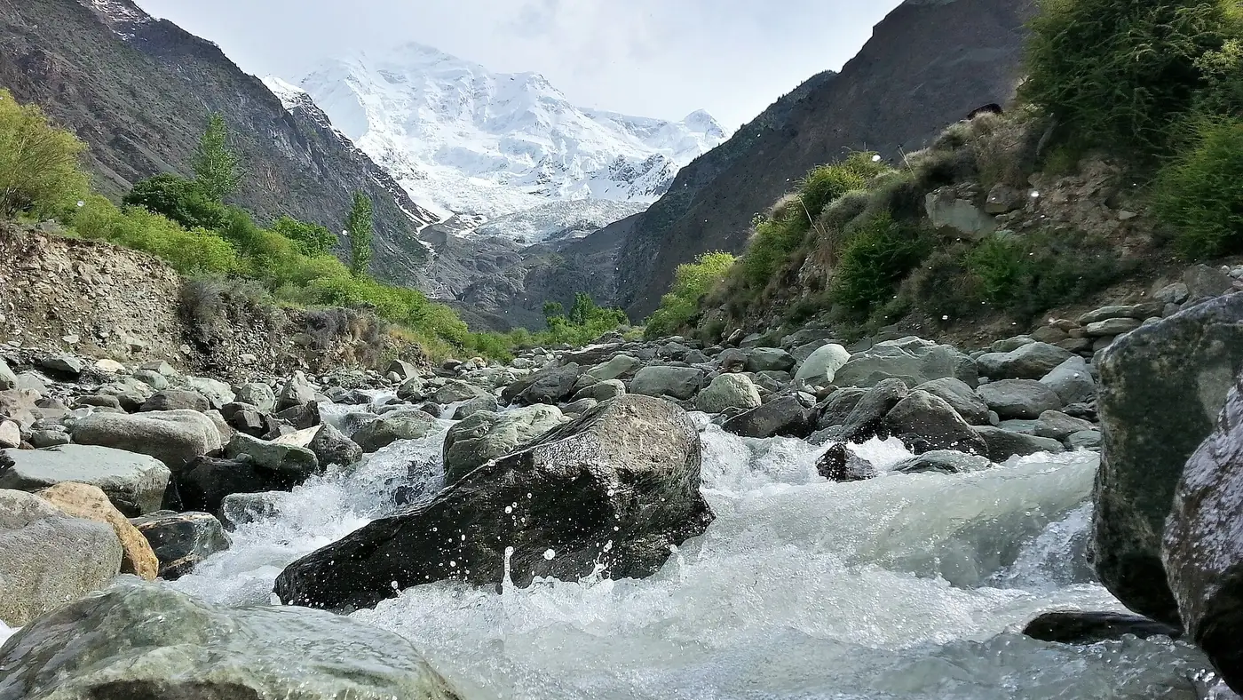
The road from Gilgit to Karimabad is about 100 km, and the drive itself is one of the highlights of the route, with Rakaposhi filling the windscreen for long stretches near Ghulmet. Fuel and food are both easy to find in Aliabad, just below Karimabad, and again in Karimabad itself, which has the widest choice of restaurants on the whole highway north of Gilgit. Our Gilgit to Hunza distance guide has the full breakdown of this stretch.
Karimabad to Sost: the last towns before the border
North of Karimabad the highway runs through Gojal: Attabad Lake, about 34 km on, with boat rides and lakeside food stalls in season; Gulmit and Passu, both about 50 km from Karimabad, with guesthouses, simple restaurants and some of the best mountain views on the route; and Sost, about 90 km from Karimabad and the last proper town before Khunjerab. Fill the tank in Sost. There is no fuel station beyond it, and the road climbs into Khunjerab National Park with nothing but the seasonal border post at the top.
Planning fuel and food around the gaps
- Fill up whenever the tank drops below half, not when it is nearly empty. The 150 km gap between Besham and Chilas is the one that catches people out.
- Carry water and snacks for the whole day, especially through Kohistan, where reliable food stops are furthest apart.
- Washrooms are basic outside the main towns. Abbottabad, Besham, Chilas, Gilgit and Karimabad have the most reliable options; between them, expect roadside facilities at best.
- Don't plan to drive the whole route in one day. Most people split it over two days with a night in Besham or Chilas, and a third day is more comfortable still if you also want to stop properly at the viewpoints.
Frequently asked questions
Where is the best place to stop for food on the Karakoram Highway?
Abbottabad and Besham have the widest choice near the start, and Gilgit and Karimabad the best further north. Between Besham and Chilas, expect only basic roadside dhabas.
What is the longest stretch without fuel on the KKH?
The roughly 150 km between Besham and Chilas is the longest reliable gap. Fill the tank in Besham before setting out, and again in Chilas before continuing north.
Where should I stop overnight on a Karakoram Highway drive?
Besham or Chilas is the usual first night for a two-day drive from Islamabad to Hunza, splitting the route roughly in half.
Is the Karakoram Highway safe to drive right now?
Pakistani travellers use this road as the main route north every year, but the UK government currently advises against all travel on the stretch between Mansehra and Chilas. Check your own government's advice if you are a foreign visitor, and check current local news and police guidance before setting out regardless of nationality.
Where is the last fuel station before Khunjerab Pass?
Sost, about 90 km north of Karimabad. There is no fuel station between Sost and the border.
.jpg)