Chilas to Gilgit is 135 km on the Karakoram Highway, by the Gilgit-Baltistan tourism department's distance chart, and takes about two and a half to three and a half hours of driving. With the stops that make this stretch worth doing slowly, the Nanga Parbat viewpoint at Talechi and the junction of the three mountain ranges near Jaglot, give it a morning of four to five hours. Leave Chilas early: the light on Nanga Parbat is best before about 10, and the valley is very hot by midday in summer.
This guide takes the drive in order, north from Chilas: distances, how long to give each stop, and the side roads that branch off.
| At a glance | |
|---|---|
| Distance | 135 km |
| Driving time | 2.5 to 3.5 hours; 4 to 5 hours with stops |
| Road | Narrower as far as Raikot Bridge, then wide and rebuilt |
| Altitude | Chilas about 1,265 m; Gilgit about 1,500 m |
| Main stops | Raikot Bridge, Talechi viewpoint, Jaglot, the three-ranges viewpoint |
| Side roads | Fairy Meadows at Raikot, Astore at Talechi, Skardu at Alam Bridge |
| Best time to drive | Early morning |
| Trouble spot | Tatta Pani, between Chilas and Raikot |
The drive at a glance
Distances below are approximate road distances from Chilas, based on the tourism department's chart of distances from Gilgit.
| Place | From Chilas | From Gilgit | Why stop |
|---|---|---|---|
| Chilas I carvings | About 4 km | About 130 km | Rock carvings beside the road |
| Tatta Pani | Before Raikot | Don't stop: landslide zone | |
| Raikot Bridge | About 50 km | About 85 km | Fairy Meadows turn, tea |
| Talechi | About 62 km | About 73 km | Nanga Parbat viewpoint, Astore turn |
| Jaglot | About 85 km | About 50 km | Town for food and a break |
| Alam Bridge and the viewpoint | About 88 to 95 km | About 40 to 47 km | Three ranges, Skardu turn |
| Gilgit | 135 km |
Chilas to Raikot Bridge
Leaving Chilas: the carvings on the way out
The first stop comes almost at once. About 4 km east of the town, opposite the bridge to Thalpan, boulders beside the highway are covered in carvings: ibex, hunters, stupas and Buddhist figures, some well over a thousand years old. If you did not see them the evening before, ten minutes here at 7 in the morning, with the sun low across the rock, is the best time of day for them. Our guide to places to visit in Chilas covers the sites in more detail.
Fill the tank in Chilas before you leave. It is the last big town until Gilgit.
Tatta Pani: the slow part
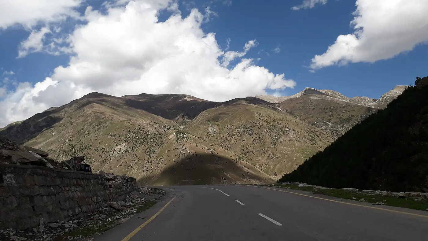
The first 50 km, to Raikot Bridge, are the last of the old, narrower highway. The Karakoram Highway from Raikot to the Chinese border was widened and rebuilt between 2008 and 2013; the stretch south of it, through Kohistan and Diamer, never had the same treatment. Expect a slower road, broken edges in places, and trucks.
Midway is Tatta Pani, a few kilometres of loose, crumbling slope. The name means hot water, and it is one of the most persistent slide zones on the whole highway, blocking the road in every season and several times in a bad year. Drive through steadily, don't stop under the slope, and if the road is closed, wait well back until it has been cleared. Our guide to Karakoram Highway road status explains how to check before you set off.
Allow one to one and a half hours for this section.
Raikot Bridge: the Fairy Meadows turn
At Raikot Bridge the highway crosses the Indus on a two-lane arch bridge. There is a small cluster of hotels, shops, tea stalls and a mosque, and this is where the jeeps leave for Tato, about an hour and a half up a rough track, and the walk to Fairy Meadows.
If you are going to the meadow, arrive by mid-morning so that you reach it in daylight. If not, a cup of tea is enough. North of the bridge you are on the rebuilt highway, and the driving becomes noticeably easier.
Raikot Bridge to Jaglot
Talechi: Nanga Parbat from the road
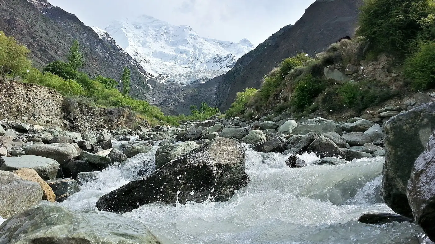
About 12 km past Raikot is Talechi, also spelt Thalichi, where a signed roadside viewpoint with tea stalls looks south across the Indus to Nanga Parbat, 8,126 metres high. You are looking at the Rakhiot flank, which rises about 7,000 metres from the valley to the summit. On a clear morning it is one of the great roadside views in the country.
Give it 15 to 30 minutes. If the summit is in cloud, wait a few minutes over tea, because gaps often open. Our Nanga Parbat viewpoint guide covers the best light and the photography.
Talechi is also where the road to Astore leaves the highway and crosses the Indus. It climbs the Astore gorge to Astore town, about two hours away, and on to Rama and the Rupal side of Nanga Parbat. It is a separate trip, not a detour for this drive.
Jaglot and the confluence
Jaglot, about 50 km short of Gilgit, is a small highway town and the natural place for breakfast or an early lunch. Across the Indus lies Bunji, linked by ferry until the Partab Bridge was built upstream in 1893.
A few kilometres on, the Gilgit river comes in from the north-west and joins the Indus. From here the highway leaves the Indus and follows the Gilgit river up to the city.
Jaglot to Gilgit
The junction of three ranges and the Skardu turn
Close to the confluence, a raised platform with steps and signboards beside the highway marks the junction of the three mountain ranges: the Karakoram to the north, the Himalaya to the south and east, and the Hindu Kush to the west, divided here by the two rivers. It is a big, bare view rather than a pretty one. Allow 15 minutes. Our guide to the junction of three mountain ranges explains what you are looking at.
Nearby, at Alam Bridge, the road to Skardu crosses the Gilgit river and heads east up the Indus gorge. Skardu is roughly 170 km further, a separate day's drive.
The last stretch into Gilgit
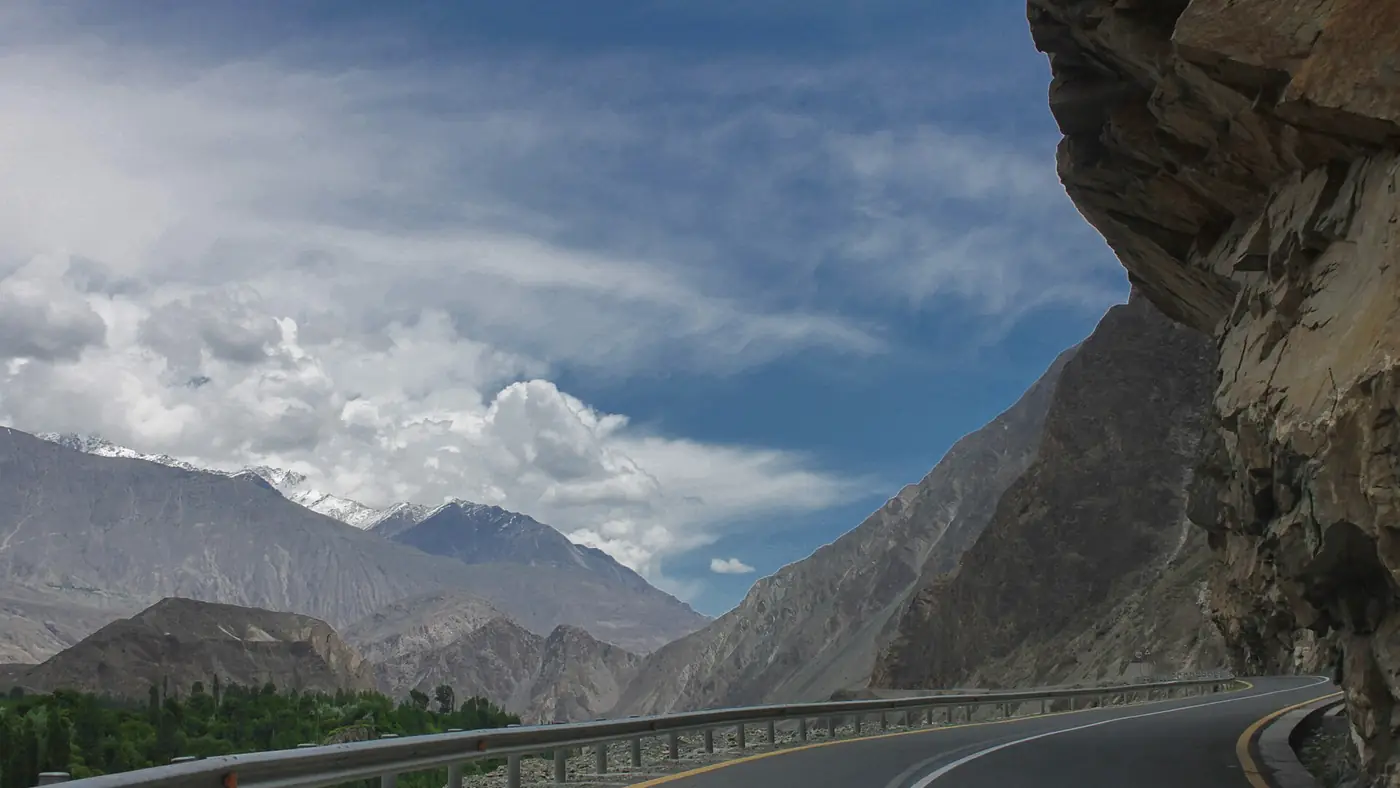
The final 40 km or so follow the Gilgit river through a dry, open valley. It is the easiest driving of the day. As you near the city, decide where you are going: the Karakoram Highway itself carries on across the river at Danyor towards Hunza, while Gilgit's bazaar and most of its hotels are a short way off it. If you are heading straight on to Hunza, fill up in Gilgit and keep going; Karimabad is about another 100 km.
Timing the morning
A sample morning, leaving Chilas at first light in summer:
- 7:00: leave Chilas, with a short stop at the carvings on the way out.
- 8:30: Raikot Bridge, tea.
- 9:00: Talechi, for Nanga Parbat in the best light.
- 10:00: Jaglot, breakfast or an early lunch.
- 10:45: the three-ranges viewpoint.
- 11:45: Gilgit.
Leave at 9 instead and the timings slide, the mountain is more likely to be in cloud, and you are driving through the hottest part of the day. In July, afternoons in this part of the valley are fierce.
Is the road safe?
This stretch is driven every day by Pakistani families, buses and trucks, and police checkposts along it are routine: carry your CNIC and the car's papers, and foreign nationals should carry passport and visa copies.
Diamer district has had serious security incidents. In December 2023 gunmen attacked a passenger bus near Chilas, killing ten people, and in February 2026 a bomb hit a Frontier Works Organisation vehicle in Chilas, killing its driver. Drive in daylight, check local news before setting out, and follow what the police tell you. The UK government's advice against all travel on the Karakoram Highway ends at Chilas, at the junction with the Babusar road, so it does not cover the drive north of Chilas; the Kohistan stretch you drove to reach Chilas is inside it. Overseas visitors should read their own government's advice, since travelling against it can void insurance.
Day to day, the bigger risks are natural: slides at Tatta Pani, flash floods in July and August, and heat. Our travel guide covers road safety across the north.
Stop, detour or drive straight through?
Drive it in a morning with the stops if you are heading for Gilgit or Hunza. The two viewpoints add under an hour and are the reason this stretch is remembered.
Break the journey at Raikot if Fairy Meadows is on your list, and turn off at Alam Bridge if Skardu is your goal; there is no need to go into Gilgit at all.
Drive straight through if the mountain is hidden. On a hazy summer afternoon the stretch from Chilas to Jaglot is hot, bare and slow, with little reason to linger.
Frequently asked questions
How far is Gilgit from Chilas?
About 135 km on the Karakoram Highway, according to the Gilgit-Baltistan tourism department's distance chart. Raikot Bridge is roughly halfway at 50 km from Chilas.
How long does it take to drive from Chilas to Gilgit?
Two and a half to three and a half hours of driving. With stops at Talechi, Jaglot and the three-ranges viewpoint, plan on four to five hours.
Where is the Nanga Parbat viewpoint between Chilas and Gilgit?
At Talechi, about 12 km north of Raikot Bridge. It is a signed roadside stop with tea stalls, best in the early morning.
Where does the road to Skardu leave the Karakoram Highway?
At Alam Bridge, just north of Jaglot and about 47 km from Gilgit. The road crosses the Gilgit river and follows the Indus east to Skardu.
Is the road from Chilas to Gilgit good?
The first 50 km, to Raikot Bridge, are narrower and include the Tatta Pani landslide zone. From Raikot to Gilgit the highway was rebuilt and is wide and well surfaced.
Where is the turn for Fairy Meadows?
At Raikot Bridge, about 50 km north of Chilas. Jeeps leave from the bridge for Tato, the start of the walk to the meadow.