The Gilgit to Hunza distance is about 100 km on the Karakoram Highway: roughly 93 km to Aliabad, the market town on the highway, and 100 km to Karimabad on the hill above it. The road is paved all the way. Allow two to three hours, including a stop at the Rakaposhi View Point at Ghulmet, which comes about 70 km out of Gilgit.
This guide takes the drive in order: how far each village is, how long the journey really takes, what is worth stopping for, where the road into Nagar turns off, and what can hold you up.
| At a glance | |
|---|---|
| Gilgit to Aliabad | About 93 km |
| Gilgit to Karimabad | About 100 km |
| Driving time | 1.5 hours with no stops; 2 to 3 hours in practice |
| Road | Karakoram Highway (N-35), paved throughout |
| Main stop | Rakaposhi View Point, Ghulmet, about 70 km from Gilgit |
| Nagar turn | Just past Ganish, below Karimabad |
| Altitude | Gilgit about 1,500 m; Karimabad about 2,500 m |
| By public transport | Shared vans from Gilgit to Aliabad, about 2 to 2.5 hours |
How far is Hunza from Gilgit?
These are road distances from central Gilgit, rounded, for the villages you pass on the way. From Chalt the highway runs through the villages of Nagar, and Hunza district begins around Nasirabad, opposite Minapin.
| Place | From Gilgit | What it is |
|---|---|---|
| Nomal | About 25 km | The turn for Naltar |
| Chalt | About 50 km | Where Nagar begins; side roads to Chaprote and Bar |
| Nilt | About 60 km | Site of the 1891 fort battle |
| Ghulmet | About 70 km | Rakaposhi View Point |
| Minapin | About 75 km | Start of the Rakaposhi base camp trek |
| Hassanabad | About 90 km | The Shishper glacier stream |
| Aliabad | About 93 km | Main market town of central Hunza |
| Ganish and the Nagar turn | About 98 km | Road over the river to Nagar Khas and Hopper |
| Karimabad | About 100 km | Baltit Fort and the main hotel area |
"Hunza" can mean anywhere from Aliabad to the Chinese border, so check where your hotel actually is. Gulmit is roughly another 35 km up the highway from Karimabad, beyond Attabad Lake and its tunnels, and Passu about 50 km.
How long does the drive take?
With no stops, the drive to Karimabad takes about an hour and a half. Almost nobody does it that way, and it is the wrong figure to plan with. A realistic journey is two to three hours:
- 1.5 to 2 hours of driving, at the pace the road allows, with slow sections through the villages and behind trucks.
- 20 to 40 minutes at the Rakaposhi View Point, for tea and photographs.
- Time in Aliabad, where the bazaar on the highway is slow in the late afternoon.
- The climb to Karimabad, short but steep and narrow, with little parking at the top.
Shared vans take about two to two and a half hours to Aliabad, with stops to drop passengers. If you fly into Gilgit on the morning flight and leave the airport by 10, you can be in Karimabad for a late lunch.
The drive, stop by stop
- Leave Gilgit across the river to Danyor, where the highway runs north. If you have a spare hour, the old suspension bridge, the rock inscriptions and the Chinese cemetery are all here; our guide to places to visit in Gilgit covers them.
- Nomal, about 25 km. The village sits across the river from the highway, and the road up to Naltar Valley starts here. It is a separate day trip, not a detour for the drive to Hunza.
- Chalt, about 50 km. The gateway to Nagar district and the start of the side roads into the Chaprote and Bar valleys.
- Nilt, about 60 km. On 2 December 1891 British Indian troops stormed the fort at Nilt, the first big action of the Hunza–Nagar campaign, remembered locally as Jangir-e-Lae.
- Ghulmet and the Rakaposhi View Point, about 70 km. The main stop of the drive, described below.
- Minapin, about 75 km. A quiet village a short way off the highway, below Rakaposhi and Diran, and the starting point for the trek to Rakaposhi base camp. A good place to stay if you want Nagar without the Karimabad crowds.
- Hassanabad, about 90 km. The highway crosses the stream that comes down from the Shishper glacier. Floods from the glacier's lake washed away the highway bridge here in May 2022, and flood warnings for this stream are worth taking seriously in early summer.
- Aliabad, about 93 km. Fuel, banks, ATMs, pharmacies and the van stand. Fill up and withdraw cash here if you need to; Karimabad has less choice.
- Ganish and Karimabad, 98 to 100 km. The highway passes below Karimabad at Ganish, thought to be the oldest settlement in Hunza. The road up to Karimabad climbs off the highway here.
The Rakaposhi View Point at Ghulmet
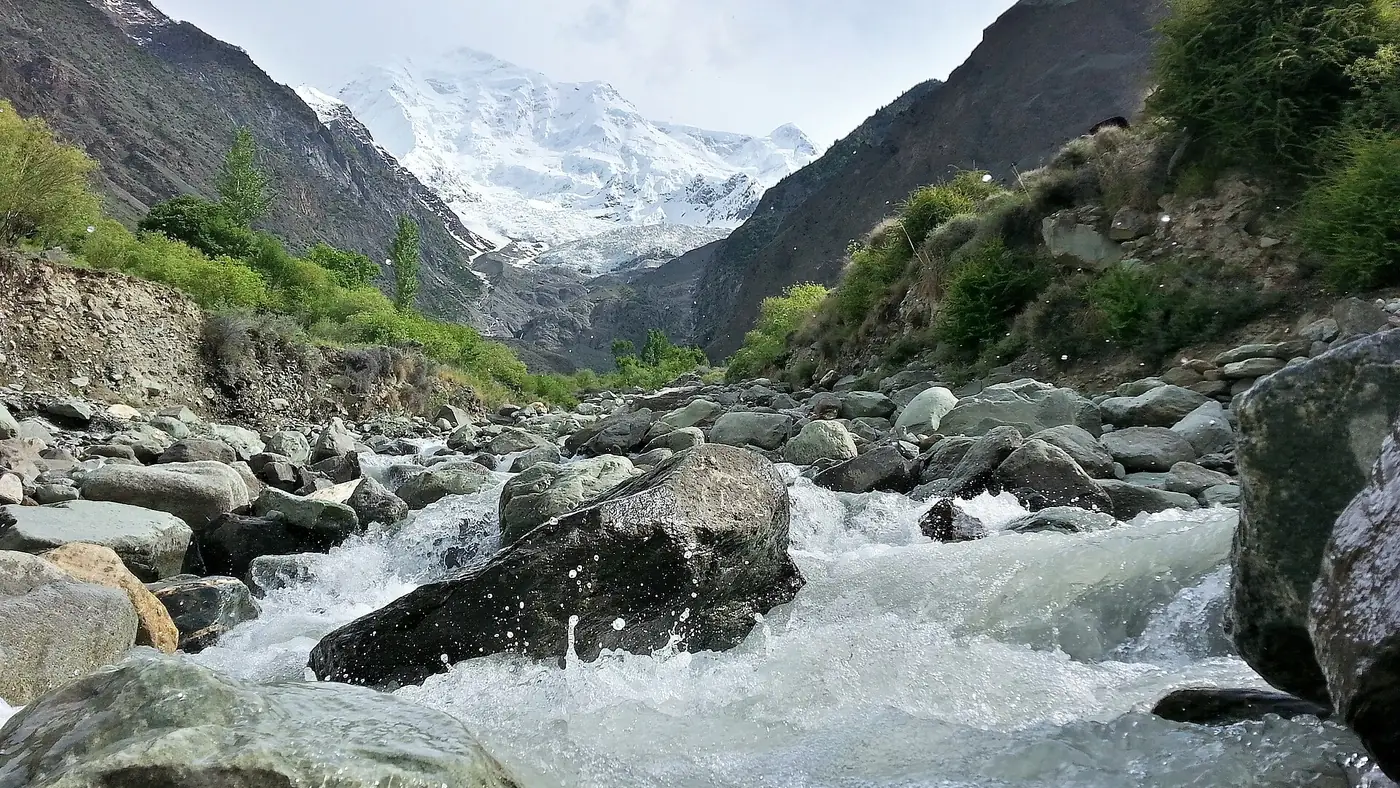
At Ghulmet the highway runs right beneath Rakaposhi, 7,788 metres high and the 27th-highest mountain in the world. Its north side rises about 5,900 metres from the Hunza river in a horizontal distance of about 11 km, and from the roadside you look almost straight up at it. Locally the spot is also called Zero Point.
There is a car park, a cluster of small hotels and tea stalls, and seating beside the cold glacier stream that runs down from the mountain. Children like paddling in the stream; keep them close, because the water is fast and icy.
How to get the most from it:
- Give it half an hour. Tea on a terrace facing the mountain is the point of stopping.
- Pass in the morning if you can. In summer, cloud often gathers on the summit as the day goes on. If Rakaposhi is clear when you pass, stop then rather than promising yourself the return journey.
- Park off the road. The highway is narrow here and traffic does not slow down for photographers.
Rakaposhi does not disappear once you pass Ghulmet. It stays in view across the river from much of central Hunza, including Karimabad.
Where does the Nagar road turn off?
Most of the villages you pass between Chalt and Minapin are in Nagar, but the Nagar most visitors mean, Nagar Khas and the Hopper glacier, lies on the far side of the Hunza river opposite Karimabad. The road to it leaves the highway just past Ganish, crosses the river, and climbs about 7 km to Nagar Khas. Hopper is further up the same road, about 45 minutes to an hour from Karimabad in total.
It is tempting to add Hopper to the arrival day. We don't: after a morning flight or a drive from Chilas, a fresh half-day from Karimabad is the better way to see it. Our list of places to visit in Hunza covers Hopper with the rest of the valley.
What can hold you up?
The Gilgit to Hunza stretch is one of the more dependable roads in the region, but it does close:
- Rockfall. On 24 December 2025 huge boulders came down at Chanas, near the boundary between Gilgit and Nagar, and cut road access to Hunza and Nagar for about eight hours until they were blasted clear.
- Glacier floods. The Hassanabad stream is the one to watch in hot spells in early summer, and side streams can carry debris onto the road after heavy rain.
- Religious processions. The highway runs through Nagar's villages, and processions in Muharram and on Chehlum close sections for hours. For Ashura in 2025 the tourism department advised visitors to avoid travelling on 9 and 10 Muharram, when mobile service was also suspended.
- Protests. Sit-ins over power cuts, taxes or local grievances occasionally block the highway in Hunza and Nagar.
Check before you leave Gilgit. Our guide to Karakoram Highway road status explains where to look, and the Tourist Police answer on 1422 inside Gilgit-Baltistan.
Car, van or driver, and where to stop for the night
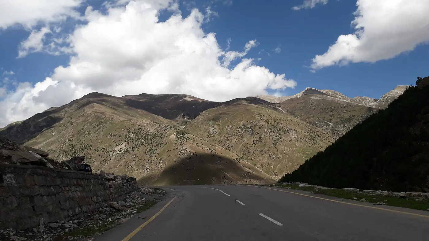
Your own car is easy on this stretch: the road is wide by northern standards, the gradients are gentle, and there is fuel in Gilgit and Aliabad. The only tricky part is the steep, narrow climb into Karimabad, busiest in the evening.
Shared vans leave Gilgit for Aliabad through the morning, usually when full rather than to a timetable; our guide to Gilgit-Baltistan by public transport explains how the stands work. A car with a driver is the most comfortable choice if you have flown into Gilgit, and the only easy way to stop wherever you like. Our Gilgit, Hunza and Khunjerab tour makes this drive on day three, with the stop at Ghulmet built in.
Most people should not break a journey this short. Two exceptions: if you have driven up from Chilas and are tired, sleep in Gilgit rather than arriving in Hunza after dark; and if you want quiet, a night in Minapin or at Ghulmet, facing Rakaposhi, is a world away from the Karimabad bazaar. That suits couples and walkers more than families who want restaurants close by.
Frequently asked questions
How far is Hunza from Gilgit?
Karimabad, the main town of central Hunza, is about 100 km from Gilgit on the Karakoram Highway. Aliabad is about 93 km, and Gulmit in upper Hunza about 130 km.
How many hours is the drive from Gilgit to Hunza?
About an hour and a half with no stops, and two to three hours in practice, with a stop at the Rakaposhi View Point and the slow climb into Karimabad.
How far is the Rakaposhi View Point from Gilgit?
About 70 km, on the Karakoram Highway at Ghulmet in Nagar. It is roughly 25 km short of Aliabad, and most people stop for tea on the way to Hunza.
Is the road from Gilgit to Hunza good?
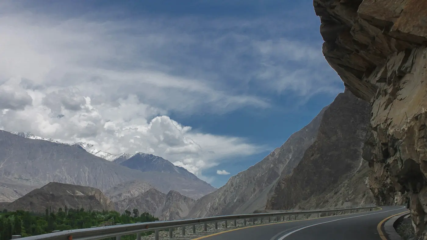
Yes. It is the paved Karakoram Highway all the way, wide and well kept by the standards of the north. Rockfall, glacier floods and processions occasionally close it for a few hours.
Is there a bus from Gilgit to Hunza?
Shared vans run from Gilgit to Aliabad through the morning, taking about two to two and a half hours. From Aliabad, local vans and taxis make the short climb to Karimabad.
Can you see Rakaposhi from Karimabad?
Yes. Rakaposhi stands across the river from central Hunza and fills the view from Karimabad, Baltit Fort and the Eagle's Nest viewpoint on clear days.