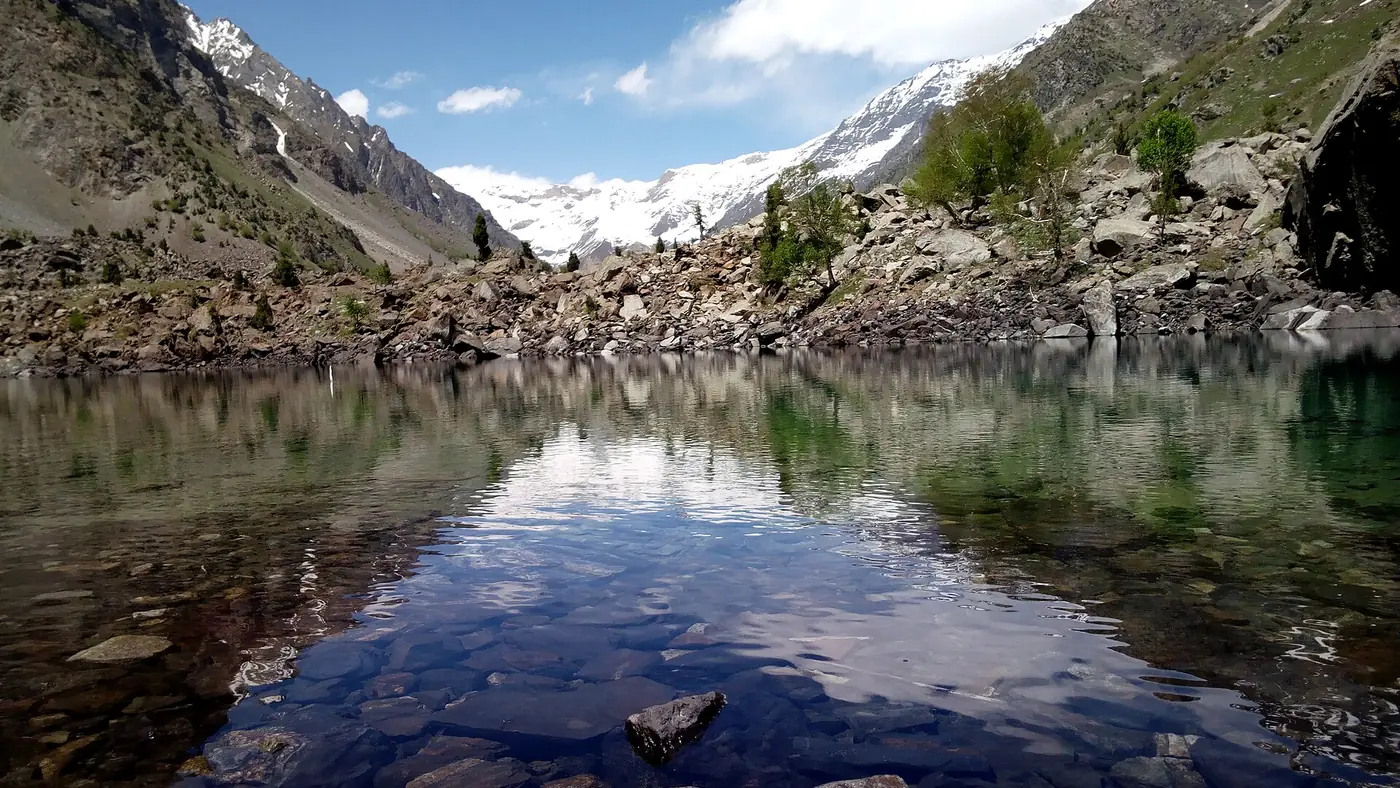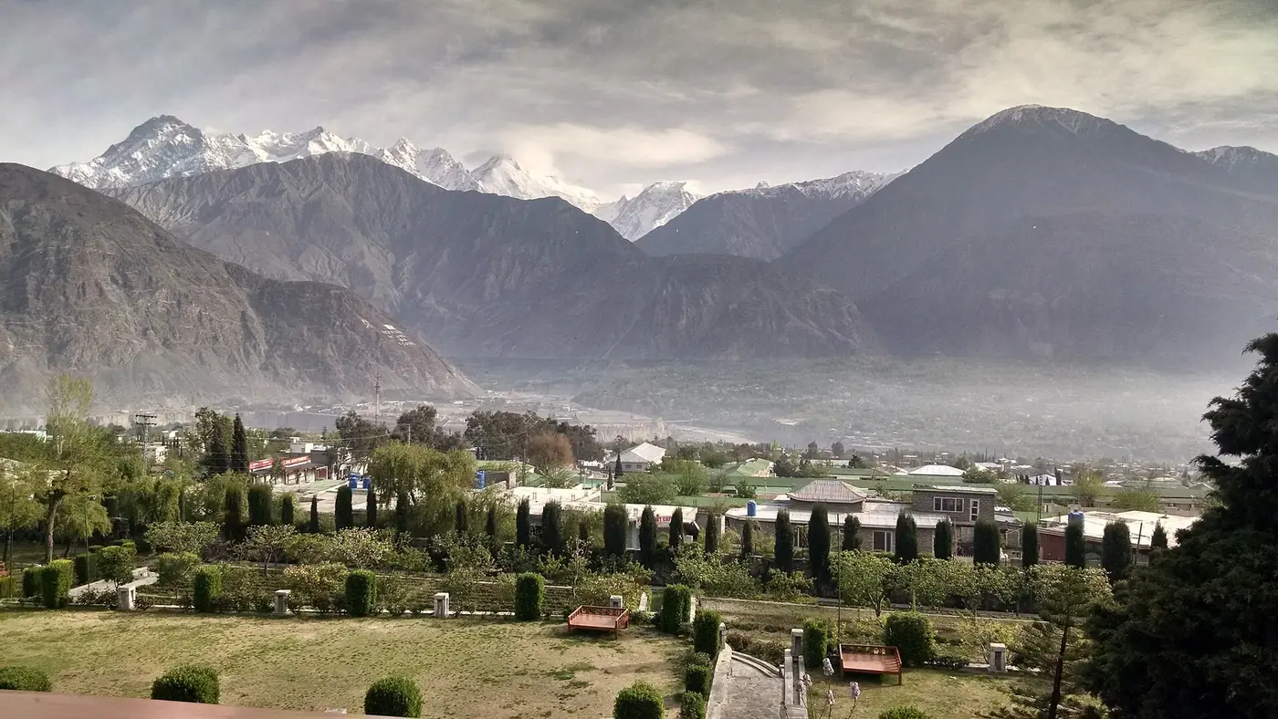
Islamabad to Gilgit by road is about 600 km, almost all of it on the Karakoram Highway through Abbottabad, Besham and Chilas. Allow 14 to 18 hours at the wheel, and plan it as two days rather than one, with a night in Besham or Chilas. In summer there is a second way, over the Babusar Pass through Naran, which is shorter but open only for a few months of the year and only in daylight.
This guide takes the drive leg by leg: how long each part really takes, where to stop, what the hard stretch is like, when the Babusar route makes sense, and what to check before you set off.
| At a glance | |
|---|---|
| Distance | About 600 km on the Karakoram Highway (N-35) |
| Driving time | 14 to 18 hours; two days is normal |
| Main route | Hazara Motorway to Thakot, then the KKH via Besham, Dasu and Chilas |
| Summer route | Naran and the Babusar Pass (4,173 m), usually from late May until the autumn snow |
| Usual overnight stops | Besham or Chilas on the KKH; Naran on the Babusar route |
| Hardest stretch | Besham to Chilas, through Kohistan |
| Help in Gilgit-Baltistan | Tourist Police, dial 1422 |
Which route: the KKH or the Babusar Pass?
There are two practical ways to drive north, and they meet at Chilas.
The Karakoram Highway (KKH) is the main road and the only one open all year. It follows the Indus from Thakot through Kohistan to Chilas, then on to Gilgit. It is longer and slower, but it does not depend on a high pass.
The Babusar route leaves the KKH system at Mansehra and runs up the Kaghan valley through Balakot and Naran, over the Babusar Pass at 4,173 metres, and down to rejoin the KKH near Chilas. It avoids the whole Kohistan stretch and is the more scenic drive. It opens once the National Highway Authority has cleared the snow, which was in the last week of May in both 2025 and 2026, and closes again with the first heavy snow of autumn. Our guide to whether Babusar Top is open or closed explains how the dates move.
The rule of thumb is simple. Between June and September, with a sound car and a driver who is comfortable on steep descents, Babusar is usually the better drive. Take the KKH outside those months, whenever heavy rain or flood warnings are out, or with a heavily loaded car.
How long does the drive take?
These are realistic driving times for a car on the KKH, with short stops for food and fuel. Buses and heavily loaded vehicles take longer.
| Leg | Driving time |
|---|---|
| Islamabad to Besham, via the Hazara Motorway | 5 to 6 hours |
| Besham to Chilas, about 200 km through Kohistan | 5 to 7 hours |
| Chilas to Gilgit, via Raikot Bridge and Jaglot | About 3 hours |
That adds up to 13 to 16 hours of driving before anything goes wrong, and on this road something usually does: a slow truck on a narrow section, a construction hold-up, a landslide being cleared. That is why we plan it as two days.
The fastest way out of Islamabad is the M-1 towards Peshawar, then the Hazara Motorway (M-15) from the Burhan interchange near Hasan Abdal. The motorway runs about 180 km past Haripur, Abbottabad and Mansehra to Thakot, bypassing the slow old road through the Hazara towns. At Thakot the highway meets the Indus, and the real mountain road begins.
Where to stop overnight: Besham or Chilas
Both towns sit on the highway with a choice of hotels and roadside restaurants, and both work. The difference is how you split the hours.
Night in Besham
Besham is five to six hours from Islamabad, so the first day is easy and you can leave after breakfast. The price is a long second day: Kohistan in the morning, Chilas around lunch and Gilgit in the late afternoon or evening. It suits families with children, anyone leaving Islamabad after a working morning, and first-time drivers who would rather meet Kohistan fresh.
Night in Chilas
Pushing on to Chilas makes the first day long, ten to thirteen hours from Islamabad, and you need to leave very early to cross Kohistan in daylight. The reward is a short second morning: three hours to Gilgit, with time to carry on to Hunza the same day.
Chilas sits low, at about 1,265 metres, and in June and July it is one of the hottest stops on the whole drive. Book a room with working air conditioning or a reliable fan, and don't plan to walk around town in the afternoon.
The Kohistan stretch: Besham to Chilas
This is the part of the drive that people remember. The road runs high above the Indus through a steep, dry gorge, with long sections cut into the cliff and, in places, little more than one lane. Most of it is paved, some stretches are rough, and the whole way needs full attention.
A few things to know before you start it:
- Leave early and drive it in daylight. Rockfall, broken edges and trucks without lights make it a poor road after dark.
- Expect a hold-up at Dasu. The highway passes through the Dasu dam construction site, and the Upper Kohistan district administration has at times opened this section only in set windows during the day and evening. A new, higher road with tunnels is being built to replace it. Check the current schedule before you leave Besham.
- Fill the tank in Besham, and top up in Dasu or Chilas. Fuel stations on this stretch are few and far between.
- Mobile signal comes and goes. Tell someone your plan for the day before you lose coverage.
- Take the horn seriously. Sound it on blind corners and give way to loaded trucks on the climbs.
Around Shatial and Chilas you start to see the rock carvings that line the highway. Tens of thousands of Buddhist-era carvings and inscriptions have been recorded along this part of the KKH, some of them within sight of the road.
Chilas to Gilgit: the last leg
From Chilas the road follows the Indus to Raikot Bridge, the turning for Fairy Meadows. If you have planned a night at the meadow under Nanga Parbat, this is where you leave the car and take a jeep; our Fairy Meadows guide explains how that works.
Beyond Raikot you pass Jaglot, where the road to Skardu branches off, and the viewpoint near Bunji that marks the meeting of the Himalaya, Karakoram and Hindu Kush. It is a ten-minute stop and worth making. Soon after, the Gilgit river joins the Indus, and the highway follows it up to the city, about 45 km from Jaglot.
Gilgit itself sits at about 1,500 metres. Most people spend a night there and then carry on north to Hunza or up to Naltar. If Hunza is your destination, our guide to driving from Islamabad to Hunza covers the last leg and where to break the journey.
The Babusar Pass route in detail
For a summer trip, the Babusar route turns a long haul through Kohistan into a two-day drive through the Kaghan valley.
- Day one: Islamabad to Naran. Hazara Motorway to Mansehra, then the N-15 through Balakot and Kaghan. Allow six to eight hours; weekend and Eid traffic can add a lot more.
- Day two: Naran to Gilgit. An early start up the valley past Lulusar Lake to Babusar Top, then the long descent into the Thak valley and down to the KKH near Chilas, and on to Gilgit. This is a full day in the car.
What to know about it:
- It is a daylight road. Night travel over the pass has been banned in recent seasons, and in 2026 the pass opened for crossings between morning and early evening. Aim to be over the top by early afternoon.
- The descent is the risk, not the climb. The Diamer side drops steeply, and brake failure is the most common cause of accidents here. Use a low gear, don't ride the brakes, and stop to let them cool if you smell them.
- Watch the weather in July and August. In July 2025 a cloudburst sent a flash flood down Thak Nala on the Chilas side, killing several tourists and stranding hundreds more. If heavy rain is forecast, take the KKH or wait a day.
- The altitude is real but brief. At 4,173 metres, older passengers or small children may feel breathless or light-headed. Keep the stop at the top short.
Other ways to reach Gilgit
- Over the Shandur Pass from Chitral. A long, rough summer road over a pass of roughly 3,700 metres, and more a journey in its own right than a way of getting to Gilgit. Only worth it if you are also visiting Chitral.
- By bus. NATCO and private operators run overnight services from Rawalpindi along the KKH. It is the cheapest option and a very long night.
- By air. The flight takes about an hour but depends on clear weather. Our guide to the Islamabad to Gilgit flight covers fares, cancellations and why the morning flight is worth booking.
Safety, checkpoints and papers
Carry your CNIC and the car's registration papers; you will be asked for them at police and army checkposts along the way. Foreign nationals must register at checkposts on the KKH and should carry several photocopies of their passport and visa.
Take security seriously without being put off by it. In December 2023 gunmen attacked a passenger bus on the KKH near Chilas, killing ten people, and police convoys have been used for public transport on this road at different times. Check current advice before travelling, follow instructions at checkposts, and don't drive after dark.
The other real risk is the weather. In July and August the monsoon brings landslides and flash floods to Kohistan and Diamer, and the Gilgit-Baltistan tourism department has told travellers to postpone journeys when the highway is blocked. Before you leave, check the latest updates from the Gilgit-Baltistan tourism department, and save the Tourist Police number, 1422. Our guide to Karakoram Highway road status explains where else to look and how to read an update.
For the car itself, a normal sedan in good condition manages both routes in summer. What matters more is the brakes, the tyres, a proper spare and a driver who is rested.
Should you drive or fly?
Drive if you want your own car in the north. Once you are in Gilgit, the best of the region lies along the road: Rakaposhi, Karimabad, Attabad and, at the top, the Khunjerab Pass. Having your own transport makes all of that easy. Driving also costs less for a family or group sharing one car, and the road itself, especially over Babusar, is part of the trip.
Fly if your time is short, if the thought of two long days in the car with children fills you with dread, or if you are travelling between October and May, when Babusar is shut and the days are short. Many people fly up and drive back, or the reverse.
If you would rather not do the driving at all, our Gilgit, Hunza and Khunjerab tour starts in Gilgit, so you can fly in or come up the highway, and an experienced mountain driver takes it from there.
Frequently asked questions
How many hours is Islamabad to Gilgit by road?
Plan on 14 to 18 hours on the Karakoram Highway, including short stops. Most people split it over two days with a night in Besham or Chilas.
Is the Babusar route shorter than the KKH?
Yes. Going through Naran and over the Babusar Pass avoids the Kohistan stretch and usually saves a few hours. It is open only from about late May until the autumn snow, and only in daylight.
Is the Karakoram Highway open all year?
The KKH between Islamabad and Gilgit is the all-season route, but landslides, floods and construction can close sections for hours or days, especially in July and August. Check road updates before you set off.
Can I drive from Islamabad to Gilgit in one day?
It can be done with a very early start, but it means 14 hours or more at the wheel and often driving the last stretch in the dark. We don't recommend it, particularly for anyone new to the road.
Can a normal car go from Islamabad to Gilgit?
Yes. Both routes are paved for most of their length and ordinary cars make the trip every summer. Get the brakes and tyres checked before you go, and use a low gear on the long descents.
Is it safe to travel at night on the KKH?
It is best avoided. Rockfall and unlit trucks make night driving dangerous, the Babusar Pass is closed to traffic after dark, and security advice has at times restricted night travel. Plan each day to finish in daylight.