The junction of three mountain ranges is a roadside viewpoint on the Karakoram Highway near Jaglot, about 40 to 45 km south-east of Gilgit, or roughly an hour's drive. It stands above the confluence of the Gilgit and Indus rivers, close to where the Skardu road turns off at Alam Bridge, and a monument and signboards mark it as the place where the Himalaya, the Karakoram and the Hindu Kush meet. Give it 15 to 20 minutes, ideally in the morning, on the drive between Gilgit and Chilas or Skardu.
This guide explains where the viewpoint is, what the "junction" actually means, how to combine it with the Nanga Parbat viewpoint and the Skardu road, and a few things to know before you pull over.
| At a glance | |
|---|---|
| Where | Karakoram Highway near Jaglot, Gilgit district |
| From Gilgit | About 40 to 45 km, roughly an hour |
| Nearby | Alam Bridge and the Skardu road; the Nanga Parbat viewpoint at Talechi, about 20 km south |
| Rivers | The Gilgit river joins the Indus below the viewpoint |
| What is there | A raised platform with steps, signboards and roadside parking |
| Time needed | 15 to 20 minutes |
| Best time | Morning, when the air is clearest |
| Food and toilets | In Jaglot and at the Talechi tea stalls, not at the viewpoint |
Where exactly is the viewpoint?
It is on the Karakoram Highway in the stretch between Gilgit and Jaglot, in the deep, dry valley where the Gilgit river runs down to meet the Indus. Coming from Gilgit, you reach it after about 40 km. Coming north from Chilas, you pass Raikot Bridge, the Nanga Parbat viewpoint at Talechi and the small town of Jaglot first.
The Skardu road leaves the highway close by, crossing the Gilgit river at Alam Bridge and heading east up the Indus. So whichever way you are travelling on this part of the highway, you pass the viewpoint: to or from Islamabad, to or from Skardu, or down to Raikot Bridge for Fairy Meadows.
The spot is marked by a raised platform reached by steps, beside the road, with signboards naming the ranges and the main peaks in each direction. Most drivers on this road know it; ask for the "junction point" and they will stop.
What does the junction of three ranges mean?
Standing on the platform, you are looking at three different mountain systems, divided from one another by the two rivers:
- The Karakoram lies to the north and east of the Gilgit river and the Indus. It runs east to K2, the second-highest mountain in the world, and includes Rakaposhi and the peaks of Hunza and Baltistan.
- The Himalaya lies south and east of the Indus. Its western end is the Nanga Parbat massif, which rises to 8,126 metres south of the viewpoint.
- The Hindu Kush lies to the west. It runs away towards Chitral and Afghanistan, where its highest peak, Tirich Mir, reaches 7,708 metres.
All three were raised by the same slow collision, as the Indian plate pushed north into Asia, and the rivers now cut through the zone where they come together.
It is fair to add that the ranges don't touch at a single point, and geographers draw the boundaries in slightly different places. The rivers make convenient dividing lines, and this bend in the valley is the one spot where you can stand on a road and face all three. That is what the monument celebrates, and it is a good reason to stop.
What you will see
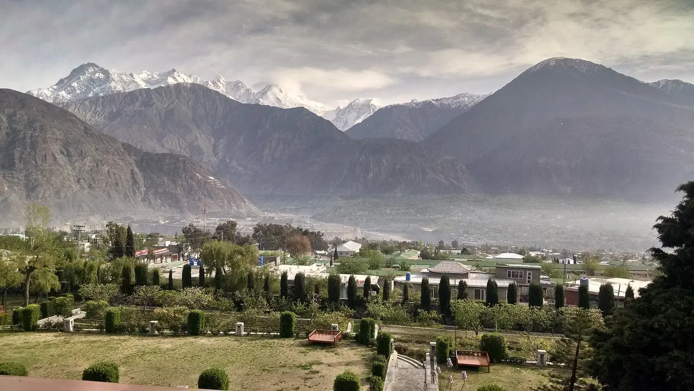
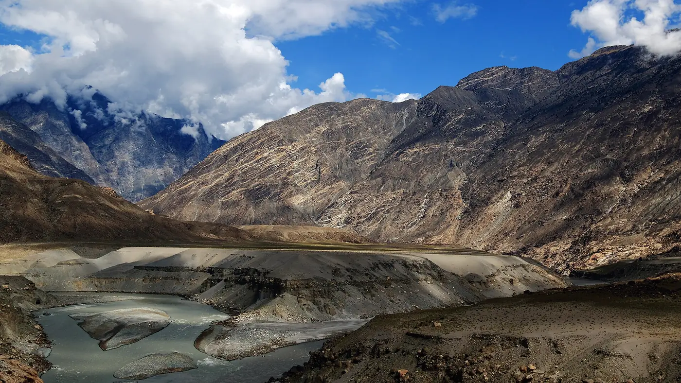
The view is of steep, bare mountainsides, the silty water of the two rivers coming together, and the Skardu road picking its way up the Indus gorge. It is not a pretty view in the way Hunza is. It is a big, raw one, and it makes more sense once you have read the signboards and know which way each range lies.
The high peaks are often out of sight from the platform itself. For Nanga Parbat, stop at the Talechi viewpoint about 20 km to the south, where the mountain rises straight up from the Indus on a clear morning; our Nanga Parbat viewpoint guide covers that stop. Rakaposhi is seen at its best further north, on the road to Hunza.
How to fit it into your trip
Driving north from Islamabad or Chilas
This is the most natural time to stop. After Chilas and Raikot Bridge, stop first at Talechi for Nanga Parbat, then at the junction, then carry on to Gilgit, about an hour further. The two stops together take 40 minutes to an hour. Our Islamabad to Gilgit road guide covers the rest of the drive.
On the Skardu road
The junction is only a few minutes from the Skardu turn-off at Alam Bridge. If you are driving between Gilgit and Skardu, it costs you almost no time. From the Islamabad side, the stop falls near the point where the Skardu road leaves the highway; our Islamabad to Skardu road guide has the full route.
As a half-day from Gilgit
If you are staying in Gilgit and won't be passing this way, make a morning of it:
- Leave Gilgit by 8. Drive south-east on the Karakoram Highway down the Gilgit river valley.
- The junction, after about an hour. Fifteen to twenty minutes on the platform.
- On to Talechi, about 20 km further, for Nanga Parbat and a cup of tea at the stalls.
- Back in Gilgit by lunch, before the heat of the afternoon.
Our round-up of day trips from Gilgit sets this against Naltar, Bagrot and the Kargah valley.
Tips for the stop
- Park fully off the highway. This is a busy stretch with heavy trucks and buses. Don't stop on a bend, and watch the traffic when you cross the road.
- Go in the morning. The light is better and the air clearer, and in summer the valley here is very hot by midday. Carry water.
- Mind the steps and the edge. Keep children close on the platform and at the roadside.
- Be sensible with the camera. Photograph the view freely, but ask before photographing any police or army post, and follow any signs.
- Don't count on facilities. There is nothing to buy at the viewpoint. Jaglot has roadside places to eat, and Talechi has tea stalls.
Jaglot and the confluence
Jaglot is a small highway town near the confluence, where drivers stop for a meal. Across the Indus from it is Bunji, and upstream is the site of the Partab Bridge, a suspension bridge built across the Indus in 1893 to make the journey to Gilgit easier.
Before the Karakoram Highway, the old road from Kashmir came down to the Indus in this area and crossed it on the way to Gilgit, which is why bridges, routes and now the highway all converge here. Knowing that makes the dry, empty-looking landscape more interesting than it first appears.
Is it worth stopping?
If you are passing, yes. It costs a quarter of an hour, it explains the geography of everything you will see further north, and it is a good place to stretch your legs on a long day's drive.
It is not worth a special trip from Hunza, which is more than three hours away. If you are based in Hunza, see it on the way in or out. And if you only have time for one roadside stop on this stretch, choose Talechi on a clear morning: the view of Nanga Parbat is the greater sight. For an overview of the region the highway runs through, see our Gilgit and Hunza page.
Frequently asked questions
Where is the junction of three mountain ranges?
On the Karakoram Highway near Jaglot, about 40 to 45 km south-east of Gilgit. It overlooks the confluence of the Gilgit and Indus rivers, close to the Alam Bridge turn-off for Skardu.
Which three mountain ranges meet near Gilgit?
The Himalaya, the Karakoram and the Hindu Kush. The Gilgit river and the Indus are taken as the dividing lines between them.
How far is the junction point from Gilgit?
About 40 to 45 km, roughly an hour's drive on the Karakoram Highway.
Can you see Nanga Parbat from the junction point?
The high peaks are often out of sight from the platform. Stop at the Talechi viewpoint about 20 km south, where Nanga Parbat is in full view on a clear morning.
How long should I stop at the junction of three mountain ranges?
Fifteen to twenty minutes is enough for the platform, the signboards and a photograph. Combined with the Talechi viewpoint, allow up to an hour.
Is the junction point on the way to Skardu?
Yes. The Skardu road leaves the Karakoram Highway at Alam Bridge, a few minutes away, so it is an easy stop between Gilgit and Skardu.