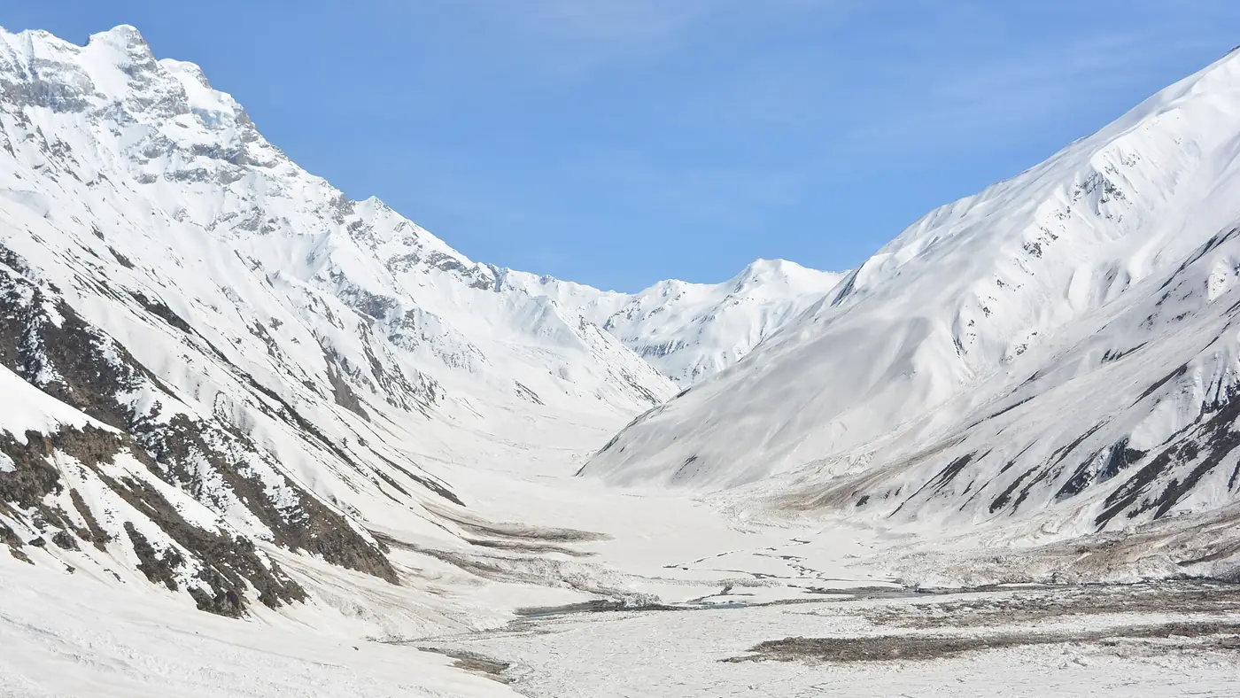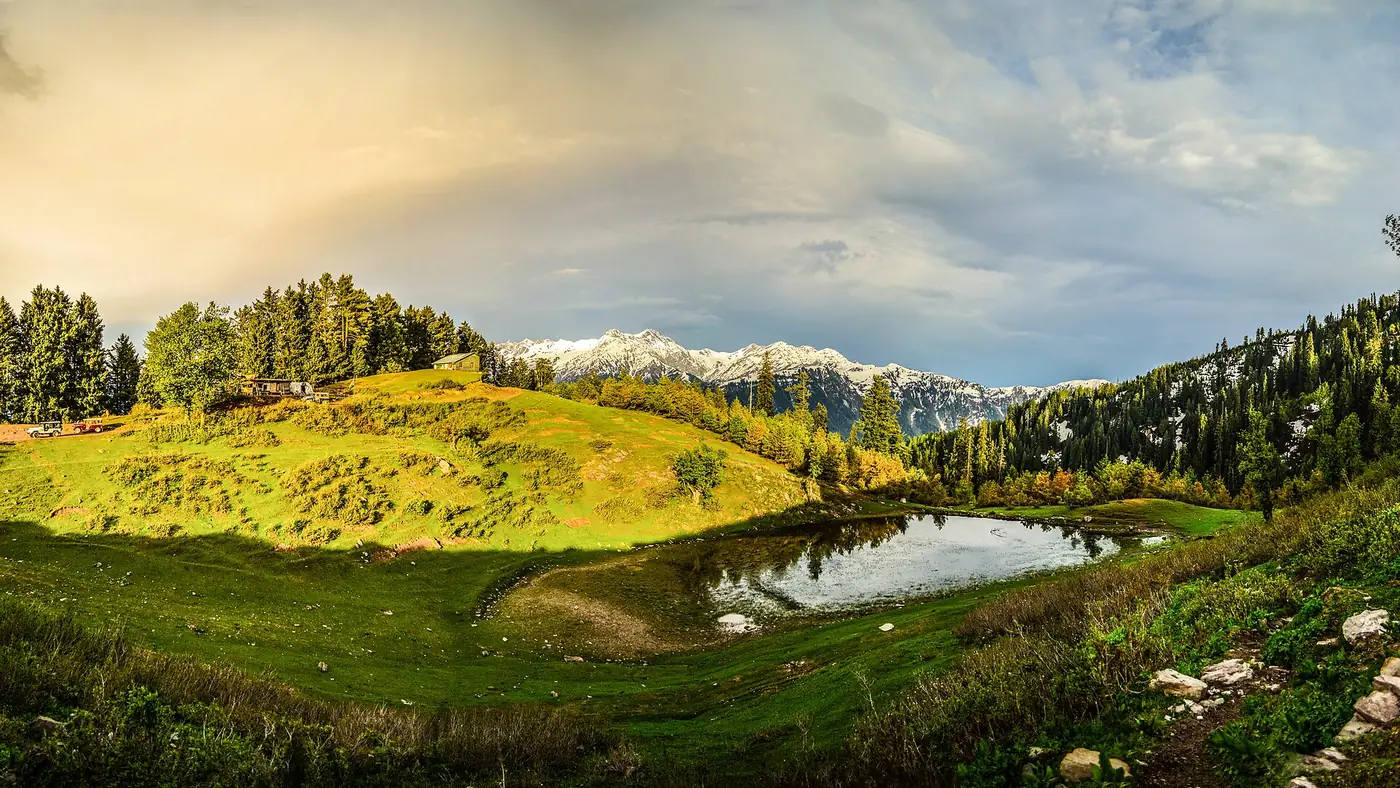
The Kaghan Valley runs along a single road, the N-15, for about 184 km from Mansehra to Babusar Top, and every stop in the valley is really a distance along that one line. This is the stage-by-stage chart: how far each town is from the last, and from Mansehra, so you can work out timings without guessing at a map.
The N-15 continues past Babusar Top into Gilgit-Baltistan, reaching Chilas 240 km from Mansehra in total, with the final stretch beyond the pass outside the Kaghan Valley itself.
| At a glance | |
|---|---|
| Route | N-15, Mansehra to Babusar Top |
| Total distance | About 184 km |
| Altitude range | About 950 m at Mansehra to 4,173 m at Babusar Top |
| Driving time, full length | 6 to 8.5 hours, excluding stops |
| Surface | Paved throughout, narrow and winding above Balakot |
Distance chart: Mansehra to Babusar Top
| Stop | Distance from previous stop | Distance from Mansehra | Altitude |
|---|---|---|---|
| Mansehra | — | 0 km | About 950 m |
| Balakot | About 38 km | About 38 km | Just under 1,000 m |
| Kaghan town | About 58 km | About 96 km | Middle valley |
| Naran | About 23 km | About 119 km | 2,409 m |
| Batakundi | About 15 km | About 134 km | 2,624 m |
| Jalkhad | About 25 km | About 159 km | Around 3,200 m |
| Lulusar Lake | About 8 km further | About 167 km | 3,410 m |
| Babusar Top | About 17 km | About 184 km | 4,173 m |
These are road distances, rounded to the nearest reasonable figure; sources differ by a few kilometres at several stops, and the exact number matters less than the shape of the trip: a long, easy run to Naran, then a shorter, slower climb above it.
What the distances mean for a day's drive
Distance on this road does not translate directly into time. The lower stretch, Mansehra to Balakot, is fast, but Balakot to Naran, at around 82 km, typically takes 2.5 hours on a clear day and can take 4 or more once weekend or Eid traffic builds up. The upper stretch, Naran to Babusar Top at about 65 km, takes roughly 2.5 to 3 hours because the road climbs in switchbacks above Batakundi.
Rough driving times, excluding stops:
- Mansehra to Balakot: about 1 to 1.5 hours.
- Balakot to Naran: about 2.5 to 4 hours.
- Naran to Babusar Top: about 2.5 to 3 hours.
- Mansehra to Babusar Top, in total: about 6 to 8.5 hours of driving, before any stop for food, fuel or photographs.
Add at least an hour for a fuel and food stop in Balakot, and more if you are also detouring to Shogran, Siri Paye or Lalazar, none of which sit on the main road.
Side trips that leave the main line
Several well-known stops are not on the N-15 itself and add their own distance on top of the chart above:
- Shogran and Siri Paye, reached by a side road from Kiwai, about 24 km above Balakot.
- Saif-ul-Malook, a roughly 9 km jeep track up from Naran, not usable by ordinary cars.
- Lalazar, a steep jeep track from Batakundi or Naran.
- Dudipatsar Lake, a trek starting near Besal, above Jalkhad.
Our Kaghan Valley guide covers each of these in more detail, with what each side trip involves.
Why the numbers vary between sources
Ask three sources for the distance from Naran to Babusar Top and you may get three slightly different answers. That is normal on a mountain road: distances are measured from different reference points in each town, road realignments shift the figure by a kilometre or two over time, and older figures get copied forward without being rechecked. Treat any chart, including this one, as a guide to the shape of the journey rather than a surveyed measurement, and build in spare time rather than relying on the numbers to the kilometre.
Using the chart to plan your trip
For a first visit, the chart splits naturally into two decisions: how far to drive on day one, and how much of the upper valley to fit in.
- Balakot makes sense as an overnight stop if you are coming from Lahore or Karachi, or leaving Islamabad late.
- Naran, at about 82 km above Balakot, is the practical base for most of a trip, close to Saif-ul-Malook, Lulusar and the road up to Babusar.
- Babusar Top, another 65 km above Naran, is usually a there-and-back day trip from Naran rather than an overnight stop, since it is only open in the warmer months and has nowhere to stay.
For a full plan built around these distances, see our three-day and five-day Naran and Kaghan itineraries, or send us your plans if you want help fitting the valley into a longer trip north.
Frequently asked questions
How far is Naran from Mansehra?
About 119 to 122 km by road, roughly 3 to 4 hours' driving on a clear day, more with traffic.
How far is Babusar Top from Naran?
About 65 km, usually 2.5 to 3 hours because the road climbs steadily in switchbacks above Batakundi.
What is the total length of the Kaghan Valley road?
About 184 km from Mansehra to Babusar Top. The N-15 continues beyond the pass into Gilgit-Baltistan, reaching Chilas 240 km from Mansehra in total.
Are Shogran and Saif-ul-Malook on the main Kaghan Valley road?
No. Both are side trips reached by separate roads or jeep tracks, from Kiwai and Naran respectively, and add their own distance and time on top of the main route.
Why do different maps give different distances for the same stretch?
Distances are measured from different points in each town, the road shifts slightly over time, and older figures often get repeated without being rechecked. Treat published distances, including these, as approximate.