The Kaghan Valley is the valley of the Kunhar River in Mansehra district, Khyber Pakhtunkhwa, running about 155 km from the hills below Balakot to the Babusar Pass at 4,173 metres. One road, the N-15, runs its whole length: Balakot at the bottom, Kiwai and the turn for Shogran, Paras, Kaghan town, then Naran, the main base, and above it Batakundi, Lulusar Lake and Babusar Top. Naran is about 270 to 285 km from Islamabad, six to eight hours by road, and the upper valley is open roughly from late spring to November.
This guide takes the valley town by town, from the bottom up: what each place is for, how far apart they are, what there is to see near each, and which parts are open when. It is the overview; separate guides go deeper on Babusar Pass, Shogran and where to stay in Naran.
| At a glance | |
|---|---|
| Where | Mansehra district, Khyber Pakhtunkhwa, along the Kunhar River |
| Length | About 155 km, from below Balakot to Babusar Pass |
| Altitude | About 1,000 m at Balakot, 2,409 m at Naran, 4,173 m at Babusar Top |
| Main base | Naran, about 82 to 85 km above Balakot |
| From Islamabad | About 270 to 285 km to Naran, 6 to 8 hours |
| Lower valley | Balakot, Kiwai and Shogran, reachable most of the year |
| Naran | Road usually open from about late April to November |
| Babusar Pass | Roughly late May or June to October or November, daylight only |
How the Kaghan Valley is laid out
The Kunhar rises at Lulusar Lake, near the top of the valley, and flows south-west past Naran, Kaghan and Balakot to join the Jhelum. The road follows the river the whole way up, so the valley is easiest to understand as a single line with side trips branching off it.
It falls into three parts:
- The lower valley, Balakot to Paras. Green, forested, lower and warmer, with Shogran on a shelf above Kiwai. Reachable in most months.
- The middle valley, Kaghan to Naran. Narrower and higher, with the river closer to the road. This is where most visitors sleep.
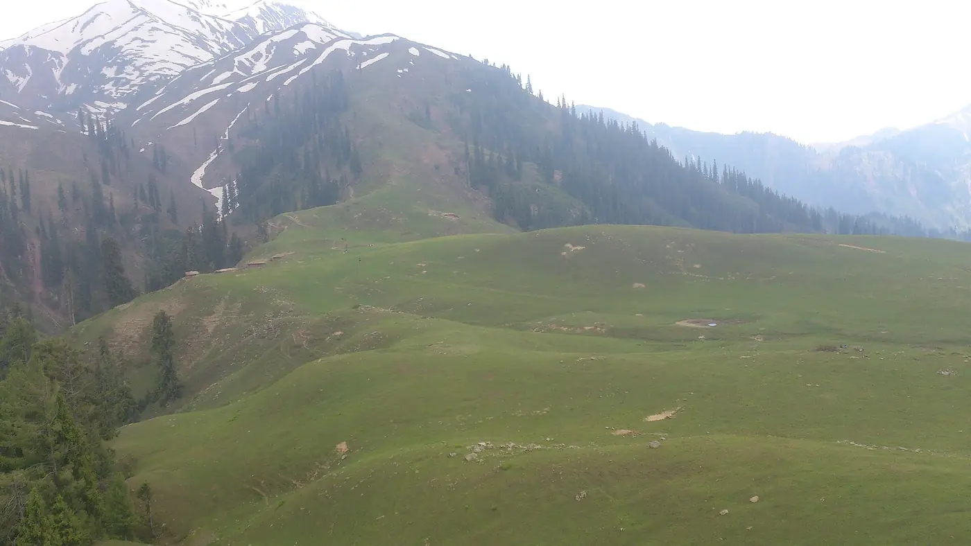
- The upper valley, Batakundi to Babusar. Above the tree line, with wide meadows, high lakes and the pass. Open only in summer.
From Islamabad, the quick way in is the M-1 and the Hazara Motorway to Mansehra, then the N-15 to Balakot. The motorway is fast. After Balakot the road narrows, climbs, and slows down to the pace of the traffic in front of you.
Stop by stop, from Balakot to Babusar
Distances are approximate road distances, and times vary a great deal with traffic. On a summer weekend or at Eid, the stretch from Balakot to Naran alone can take far longer than the map suggests.
| Stop | Roughly | Altitude | What it is for |
|---|---|---|---|
| Balakot | About 35 km above Mansehra | About 1,000 m | Gateway town, last big bazaar |
| Kiwai | 24 km above Balakot | Lower valley | Turn for Shogran and Siri Paye |
| Paras | Further up the river | Lower valley | Turn for the Sharan forest |
| Kaghan town | About 23 km below Naran | Middle valley | Quieter riverside stays |
| Naran | 82 to 85 km above Balakot | 2,409 m | Main base, hotels, jeeps |
| Batakundi | 15 km above Naran | 2,624 m | Quieter base, turn for Lalazar |
| Jalkhad and Besal | 40 to 45 km above Naran | Up to 3,260 m | Meadows, Noori Top track, Dudipatsar trek |
| Lulusar Lake | About 48 to 50 km above Naran | 3,410 m | The lake beside the road |
| Babusar Top | About 65 km above Naran | 4,173 m | The pass into Gilgit-Baltistan |
Balakot
Balakot is the gateway, a market town on the right bank of the Kunhar. It was almost entirely destroyed in the October 2005 earthquake and has been rebuilt since, and it is also remembered for the battle of 1831 fought here. For travellers it is the last big bazaar: a good place for fuel, cash, a meal and supplies before the valley narrows. Most people drive straight through.
Kiwai, and Shogran above it
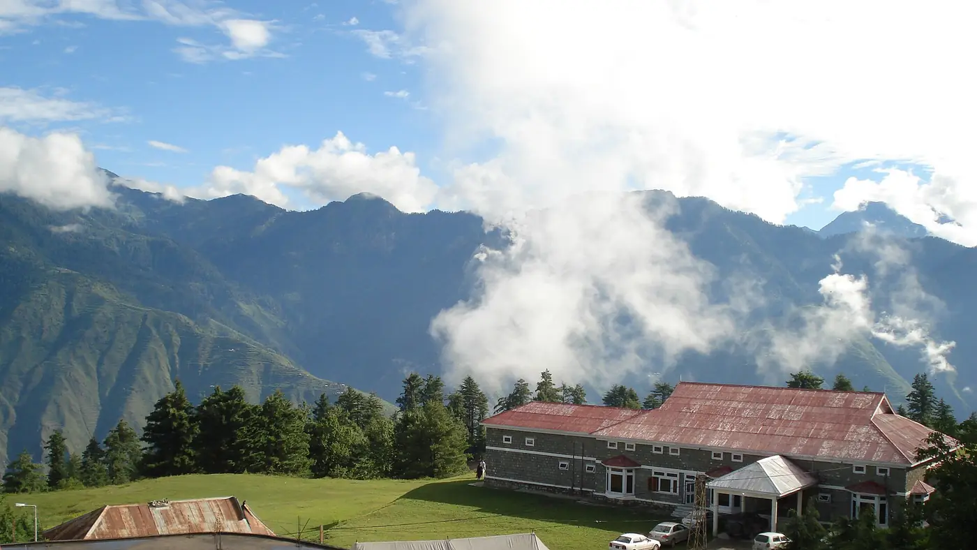
Kiwai, 24 km above Balakot, is a roadside village with a waterfall and a cluster of restaurants beside it. It matters because of what lies above: a steep road of about 7 to 8 km climbs through pine forest to Shogran, a meadow resort at 2,362 metres, and a jeep track continues to the Siri Paye meadows at about 3,000 metres. Most people leave their car at Kiwai and take a local jeep. Shogran is the one place in the lower valley worth a night in its own right.
Paras and the Sharan forest
Paras is a small riverside town further up. From here a rough jeep track of about 16 km climbs to the Sharan forest, at around 2,400 metres, a quieter alternative to Shogran with camping and walking in the woods. The track is for 4x4 jeeps with local drivers only.
Kaghan town
Beyond Paras the road passes villages such as Mahandri and Jared before reaching Kaghan, the small town that gave the valley its name, about 23 km below Naran. Hotels are scattered along the river on this stretch. Staying here means a quieter night than in Naran, at the cost of driving up for every excursion.
Naran
Naran, at 2,409 metres, is where the valley widens and where most visitors spend their nights. It is a seasonal town: a long main bazaar of hotels, restaurants and shops, jeep stands, a petrol pump, and in summer a great many cars. It is the base for nearly everything in the upper valley.
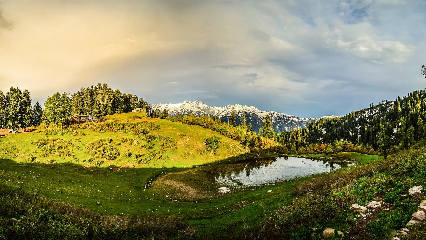
The classic trip from Naran is to Lake Saif-ul-Malook, about 9 km up a jeep track to 3,224 metres, below Malika Parbat, the valley's highest peak at around 5,290 metres. The lake track opens later than the main road, usually from late May or June, once the snow has been cleared.
From 2026, private cars may not park in Naran bazaar, traffic through it runs one way, and jeeps are kept out of the main street. Plan to leave the car at your hotel.
Batakundi and Lalazar
Batakundi, 15 km above Naran at 2,624 metres, is the last proper village before the high country. It has its own hotels and is a calmer base than Naran, closer to the pass. From here a steep 4x4 track climbs to the Lalazar meadows, at a little over 3,100 metres, a popular half-day jeep trip.
Jalkhad and Besal
Above Batakundi the valley opens into broad grassy flats. At Jalkhad, about 40 km from Naran, a rough jeep track leaves the main road and climbs to Noori Top, at about 3,960 metres, and down to Sharda in the Neelum valley, 48.7 km in all. It is a serious 4x4 route for July to September only. A little further on, Besal, at about 3,260 metres, is the start of the trek to Dudipatsar Lake, a long day or an overnight walk. Dudipatsar and Lulusar both lie in the Lulusar-Dudipatsar National Park, set up in 2003.
Lulusar Lake, Gittidas and Babusar Top
Lulusar Lake, at 3,410 metres, lies right beside the road, a long lake below bare slopes and the source of the Kunhar. It is the easiest high lake in the valley to reach: no jeep, no walk. Above it the road crosses the Gittidas meadows, at 3,678 metres, where herders graze their flocks in summer, before the final hairpins to Babusar Top at 4,173 metres. From Naran the top is about 65 km and two to two and a half hours. Beyond it the road drops into Gilgit-Baltistan and down to Chilas.
When is the Kaghan Valley open?
The valley does not open and close all at once. It opens from the bottom up in spring and closes from the top down in autumn.
- Balakot, Kiwai and Shogran: reachable for most of the year. In winter, when Naran is shut, these become the valley's snow destinations, though the Shogran road can be blocked by snow or landslides.
- Naran: the road is usually reopened in April, and in 2026 it was cleared as far as Batakundi by the end of the month. The town closes for the winter in November, when the administration shuts the upper valley, the hotels close and the power is switched off.
- Saif-ul-Malook and the jeep tracks: later than the main road, usually from late May or June, once the snow has gone.
- Babusar Pass: roughly late May or June to October or November. Our guide to whether Babusar Top is open or closed has the recent dates.
Late June to September is the only time everything is open at once. July and August bring monsoon rain and the risk of landslides and flash floods, particularly on the Babusar road, so leave a spare day.
Getting around the valley
Your own car is the usual way. The N-15 is paved from Mansehra to Babusar Top and ordinary cars manage it every summer. What slows you down is traffic, not the road: holiday weekends back up for hours between Kaghan and Naran, and Eid is the worst of all. In June 2024, more than 300,000 tourists came into the valley over the Eid ul Azha holidays.
Local jeeps handle the side trips: Saif-ul-Malook, Lalazar, Shogran, Siri Paye and the Sharan forest. In 2026 the Balakot assistant commissioner fixed return fares per jeep at about PKR 5,500 for Naran to Saif-ul-Malook, PKR 4,500 for Kiwai to Shogran and for Naran or Batakundi to Lalazar, and PKR 8,000 for Kiwai to Siri Paye. Fares are revised each season, so confirm before you get in.
Keep in mind:
- Fill up in Naran if you are heading higher. Don't count on fuel above Batakundi.
- Carry cash. Bring enough from Islamabad or Mansehra rather than relying on machines up the valley on a holiday weekend.
- Expect patchy signal above Naran and in the side valleys.
- Drive in daylight. The upper road is closed to traffic overnight in the early season, and the valley road is no pleasure in the dark.
Where to base yourself
For most first visits, split the nights:
- One night in Shogran on the way up, if you have the time. It breaks the drive and gives you the forest and the meadow in the evening, when the day visitors have gone.
- Two or three nights in Naran, for Saif-ul-Malook, Lulusar and Babusar.
- Batakundi instead of Naran if you want quiet more than restaurants, or if Babusar and Lalazar are your main aims.
A plan along those lines, with a lake walk and Babusar, is set out in our five-day Naran and Kaghan itinerary.
Who the Kaghan Valley suits
Kaghan is the most accessible high valley from Islamabad and Lahore. You can be at a 3,000-metre lake on day two without flying and without a jeep track of Fairy Meadows proportions. It suits families, first-time drivers in the north and anyone with four or five days.
The honest drawbacks are crowds and development. Naran on a summer weekend is busy, noisy and expensive, and in 2026 even the local press was asking how much more building the valley could take. If you want empty mountains, go midweek, stay in Batakundi or Shogran, go in June or September rather than at Eid, or look across the ridge to the quieter Neelum valley in Azad Kashmir.
To fit Kaghan into a longer trip north, start with our trip planning page.
Frequently asked questions
Where is the Kaghan Valley?
In Mansehra district, Khyber Pakhtunkhwa, in the north-east of the province. It follows the Kunhar River from around Balakot up to the Babusar Pass on the border with Gilgit-Baltistan.
What is the difference between Kaghan and Naran?
Kaghan is the name of the whole valley and of a small town in it, about 23 km below Naran. Naran is the main tourist town, higher up, and the base for Saif-ul-Malook, Lulusar Lake and Babusar Top.
How far is Naran from Islamabad?
About 270 to 285 km by the Hazara Motorway, Mansehra and Balakot. Allow six to eight hours, and more on summer weekends and at Eid.
When is the best time to visit the Kaghan Valley?
Late June to September, when the road to Naran, the lake tracks and Babusar are all open. May and October are quieter but some roads may still be closed or closing.
Is the Kaghan Valley open in winter?
Only the lower part. Balakot, Kiwai and usually Shogran stay reachable, but Naran and everything above it close from about late November to April.
Can I visit the Kaghan Valley in my own car?
Yes. The N-15 is paved all the way from Mansehra to Babusar Top. For Saif-ul-Malook, Lalazar, Shogran and Siri Paye, leave the car and take a local jeep.