
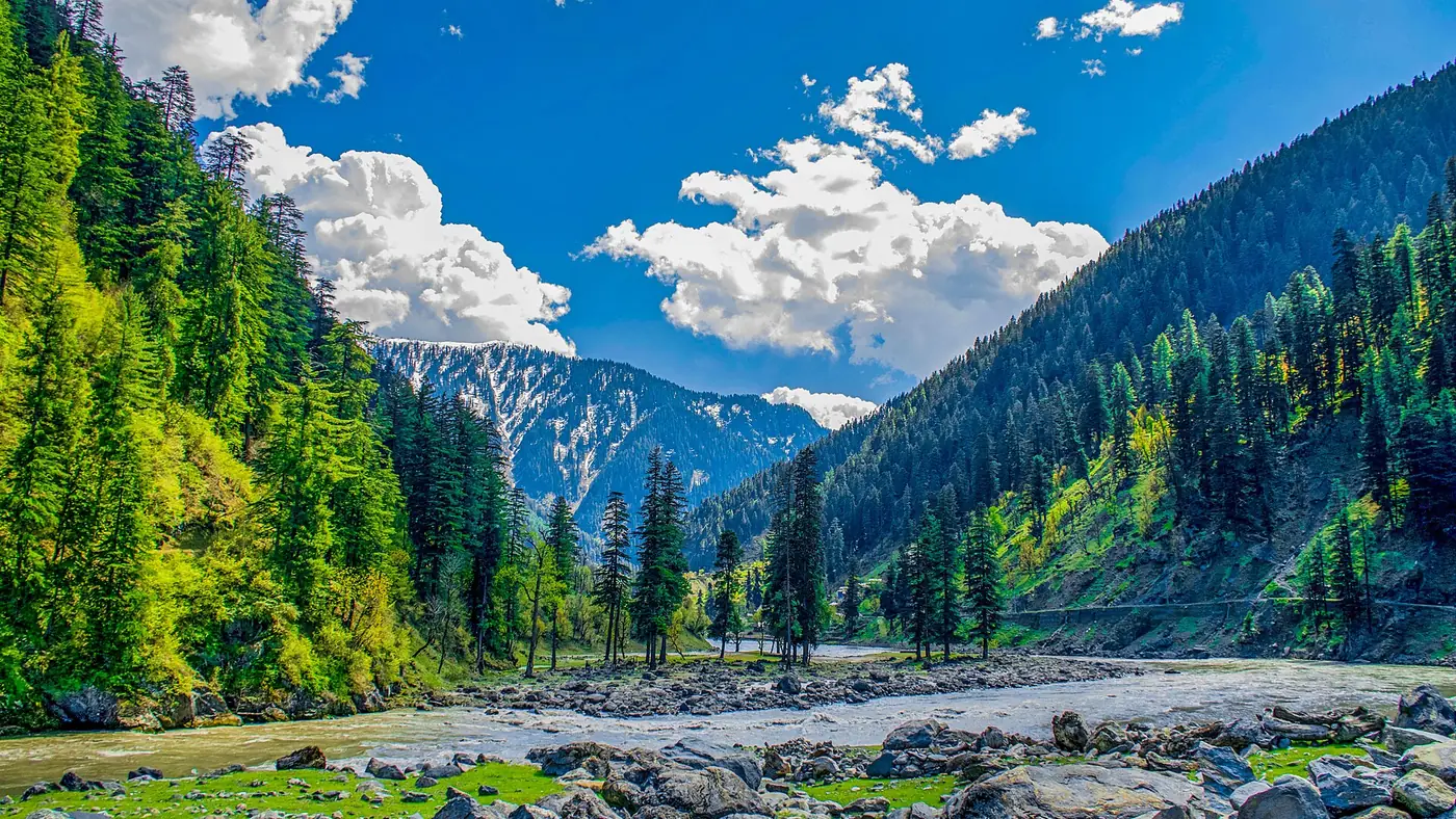

Neelum Valley runs along a single road that follows the Neelum River upstream from Muzaffarabad to Taobat, a distance of roughly 200 km. There are no shortcuts and no alternative routes: every town on this Neelum Valley map sits on the same road, one after another, so your drive time is really just the sum of the stretches between them.
This guide lays the valley out stretch by stretch, with distances and drive times from Muzaffarabad, then covers the side valleys that branch off the main road.
| At a glance | |
|---|---|
| Total length, Muzaffarabad to Taobat | About 200 km |
| Road type | Single road the whole way, paved to around Sharda, then rougher and unpaved beyond Kel |
| Muzaffarabad altitude | About 700 m |
| Taobat altitude | About 2,300 m |
| Full drive, Muzaffarabad to Kel | 6 to 7 hours |
| Full drive, Muzaffarabad to Taobat | A full day, usually split over two |
How the valley is laid out
The Neelum River rises near the Line of Control and flows down through the valley to join the Jhelum at Muzaffarabad. The road out of Muzaffarabad follows the river the entire way up, climbing gently rather than steeply, so the towns line up in order: Athmuqam, Keran, Dowarian, Sharda, Kel and finally Taobat, the last village before the LoC closes the valley.
Because it is one road with the river always on one side, you cannot get lost. The only real decisions are how far to go, and where to break the drive.
Distance and drive time from Muzaffarabad
| Town | Distance from Muzaffarabad | Drive time from Muzaffarabad | Altitude |
|---|---|---|---|
| Athmuqam | About 90 km | About 3 hours | About 1,200–1,400 m |
| Keran | About 90 km | About 3 hours | Similar to Athmuqam |
| Dowarian | About 105 km | About 3.5 hours | Around 1,600 m |
| Sharda | About 130 km | About 5 hours | Around 2,000 m |
| Kel | About 150 km | 6 to 7 hours | Around 2,100 m |
| Taobat | About 190–200 km | A full day | Around 2,300 m |
Treat these as rounded planning figures. Distances for this road are quoted differently by almost every source, road realignments change them slightly year to year, and nobody has re-measured it recently with a fixed benchmark.
Two things shape the times more than the kilometres do. First, the road is narrow and bends constantly, so average speeds are low even where the surface is good. Second, the surface itself gets worse as you climb: paved and generally reliable to around Sharda, rough and broken in patches from Sharda to Kel, and an unpaved jeep track for the roughly 40 km from Kel to Taobat. Our guide to the Neelum Valley road condition covers each stretch and its trouble spots in detail.
Getting there from the main cities
From Islamabad, the drive to Muzaffarabad takes about two to three hours, and from there you join the Neelum Valley road described above. Our guides to getting from Islamabad to Neelum Valley and driving from Lahore to Neelum Valley cover the approach roads and where to break the journey.
Side valleys off the main road
Several worthwhile places are not on the main road at all, but up a side track:
- Ratti Gali Lake, reached by a 16 km jeep track that climbs from Dowarian. See our Ratti Gali Lake guide for the full approach.
- Arang Kel, a meadow village above Kel with no road access at all. You reach it by chairlift from Kel, then on foot, as covered in our Arang Kel guide.
- Shounter Valley, reached by a jeepable track from Kel that climbs over Shounter Pass towards Astore, on the far side of the range.
- Jagran Valley, a side road climbing from Kundal Shahi, below Athmuqam, up to Kutton.
None of these side tracks take a normal car. Budget a jeep and a separate day for each one.
How long do you need for the whole valley?
A single day trip from Muzaffarabad only reasonably reaches Keran or, at a push, Dowarian. To properly see the valley you need at least three days: one to reach Sharda or Kel with stops on the way, a day to explore Arang Kel or a side valley, and a day to come back down. Five days gives you room for Ratti Gali or Taobat as well, which is roughly how our Neelum Valley Escape is built.
Using this map to plan your stops
If you have one day beyond Muzaffarabad, aim for Keran and turn back. With two to three days, push on to Sharda or Kel and overnight along the way rather than driving it all in one push. With five days or more, add Arang Kel and, if the season and weather allow, Ratti Gali or Taobat.
Don't try to cover the whole valley and a side trip in a single long day. The road doesn't reward rushing, and the best stops — a chinar-shaded bend at Keran, the ruins at Sharda, the view from the Arang Kel chairlift — are the ones you'd otherwise drive past.
Frequently asked questions
How far is Neelum Valley from Islamabad?
Muzaffarabad, the gateway to the valley, is about two to three hours from Islamabad. From there, add the drive times above depending on how far up the valley you are going.
How long is the Neelum Valley road?
About 200 km from Muzaffarabad to Taobat, the last village before the Line of Control. It is a single road the whole way, following the Neelum River upstream.
What is the last town you can drive to in Neelum Valley?
Taobat, roughly 190 to 200 km from Muzaffarabad, is the last village reachable by road. Beyond it the Line of Control closes the valley.
Can you reach Arang Kel by road?
No. There is no road to Arang Kel. You drive to Kel, then take a chairlift and walk the rest of the way, or walk the whole route.
How many days do you need to see the whole Neelum Valley?
At least three days to reach Sharda or Kel and back comfortably, and five or more if you want to add Ratti Gali, Arang Kel and Taobat without rushing.