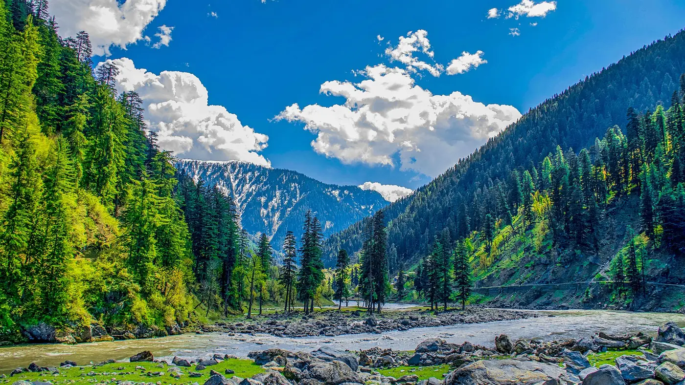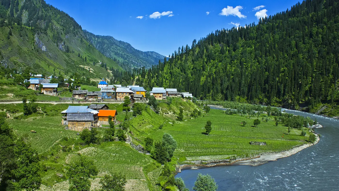
Islamabad to Neelum Valley is about 225 km to Keran, 265 km to Sharda and 290 km to Kel. The route is the Murree Expressway to Kohala, the Jhelum road to Muzaffarabad, then the single valley road up the Neelum river. Allow about seven hours to Keran, nine to Sharda and ten or more to Kel, including short stops. Almost all the variation comes from traffic around Murree and the condition of the valley road on the day.
This guide takes the drive one stage at a time: what the road is like, how long each part takes, and where to fill up, eat, and show your ID on the way.
| At a glance | |
|---|---|
| Islamabad to Muzaffarabad | About 130 km, 3 to 3.5 hours |
| Muzaffarabad to Keran | About 93 km, around 3 hours |
| Keran to Sharda | About 43 km, around 2 hours |
| Sharda to Kel | About 20 km, around 1 hour on a rough road |
| Kel to Taobat | About 39 km, jeep only, several hours |
| Last sure fuel | Muzaffarabad; top up at Athmuqam |
| Mobile network | SCOM is the one that works up the valley |
| Documents | CNIC for every adult; foreign nationals need an NOC |
The route, stage by stage
Stage 1: Islamabad to Kohala on the Murree Expressway
From Bhara Kahu the Murree Expressway climbs into the hills past the Phulgran toll plaza to Murree, then drops through Lower Topa towards the Jhelum. It is about 90 km from Islamabad to the end of the expressway near Kohala, and in normal traffic it takes around two hours.
This is the stage where time disappears. On summer weekends, at Eid and after snow in Murree, the traffic around Murree can add an hour or more. Leave Islamabad by six in the morning and you pass Murree before the day-trippers do. Our guide to the drive to Nathia Gali covers the Murree Expressway, its toll and its traffic in more detail.
At Kohala you cross the bridge over the Jhelum into Azad Kashmir. The roadside restaurants and tea stalls here are the usual breakfast stop, and a good place for a break before the river road.
Stage 2: Kohala to Muzaffarabad
From Kohala the road follows the Jhelum upstream for about 40 km to Muzaffarabad, the AJK capital. The road was rebuilt some years ago and is in reasonable shape, but it is a winding two-lane river road, so allow about an hour.
Muzaffarabad is your supply stop, and the last proper city on the route:
- Fuel. Fill the tank here.
- Cash. Withdraw what you need for the whole trip. Athmuqam and Kel have bank branches, but machines up the valley can't be relied on and hotels, jeeps and restaurants mostly take cash.
- A SCOM SIM. Other networks fade soon after you enter the valley; SCOM is the network that works in Keran, Sharda and Kel. SIM shops in Muzaffarabad sell them.
- Snacks, water and anything you forgot.
From here the road you want is the Neelum road, which leaves the city heading north-east up the Neelum river.
Stage 3: Muzaffarabad to Athmuqam and Keran
This is roughly 93 km and about three hours. The road is paved but narrow, with sharp bends, long drops to the river and stretches where slides come down after rain. Parts of it run within sight of the Line of Control.
The main landmarks in order:
- Dhani waterfall, about 38 km out. A roadside fall and a ten-minute stop.
- Nauseri, just beyond it. The dam of the Neelum–Jhelum hydropower project, which diverts much of the river into a tunnel. Below it the Neelum runs lower than it does upstream.
- Kundal Shahi, about 74 km out. Where the Jagran river joins the Neelum. The Kutton waterfall is here, and a side road climbs to Kutton and the Jagran valley. The waterfall is a common tea stop.
- Athmuqam. The Neelum district headquarters, with a bazaar, banks, a hospital and fuel. Top up the tank here; don't count on finding fuel higher up.
- Keran, a short way on. A riverside village at 1,524 metres, where the Neelum itself is the Line of Control and the houses on the far bank are in Indian-held Kashmir. Keran has plenty of hotels and guesthouses, and it is the natural first night.
If you left Islamabad at six, you should reach Keran by early afternoon.
Stage 4: Keran to Sharda
Keran to Sharda is about 43 km and around two hours. The road is still paved for most of the way but more broken, with more single-lane sections, landslide scars and places where water runs across it.
Dowarian comes about 13 km after Keran. It is the starting point for the jeep track to Ratti Gali Lake, open roughly July to September. Beyond it the valley widens towards Sharda, at 1,981 metres, where the ruins of Sharda Peeth stand above the river a short walk from the bazaar. Sharda has hotels, restaurants and shops and is the other common overnight stop.
Stage 5: Sharda to Kel, and beyond
The 20 km from Sharda to Kel is the roughest part of the main road; our road condition guide covers each stretch and its slide points in detail. Stretches are unmade, broken by streams, and muddy after rain. Cars do reach Kel in dry weather if they are driven slowly and carefully, but a low sedan will scrape and struggle, and after rain a 4x4 is the sensible choice. Many visitors leave their car in Sharda and hire a local jeep for this stage. Allow about an hour.
Kel, at 2,097 metres, sits where the Shounter stream meets the Neelum. It is the base for the chairlift to Arang Kel, the jeep track into the Shounter valley, and the jeep road to Taobat.
Beyond Kel the road becomes a jeep track. Taobat, the last village in the valley, is about 39 km on, past villages such as Janawai, Phulawai and Halmat. It is several hours by jeep, and Taobat is worth a night rather than a rushed return trip.
Checkposts, documents and the Line of Control
Expect several police and army checkposts between Muzaffarabad and Kel. At each one you may be asked for your CNIC and details of your vehicle. Keep the CNICs of every adult to hand, not packed in a bag in the boot, and have the car's registration documents with you.
Hotels in the valley also record the details of their guests for the district administration, so be ready to show your CNIC at check-in.
A few rules that matter because this is a border valley:
- Don't photograph military posts, soldiers or installations, and ask if you are unsure.
- Stop where you are told, and follow the instructions of the soldiers and police on duty.
- Check the news before you leave. In spring 2025, during the tension between Pakistan and India, tourists were turned back at checkpoints, and in June 2026 the AJK government asked visitors to stay away for two weeks during protests.
Foreign nationals need a No Objection Certificate from the Ministry of Interior to travel up the valley, arranged well before the trip.
Where to stop for fuel, food and signal
| Place | Fuel | Food | Other |
|---|---|---|---|
| Kohala | Fill up in Islamabad | Restaurants and tea stalls | Breakfast stop |
| Muzaffarabad | Yes, fill up | Full choice | Cash, SCOM SIM, supplies |
| Kundal Shahi | Wait for Athmuqam | Tea at the waterfall | Kutton waterfall, Jagran turn-off |
| Athmuqam | Yes, top up | Bazaar | Banks, hospital |
| Keran | Don't count on it | Hotels and small restaurants | First night for most people |
| Sharda | Don't count on it | Hotels and bazaar | Many visitors switch to a jeep here |
| Kel | Don't count on it | Small bazaar | Bank branch, chairlift |
How to split the drive
The single most useful decision is not to try to reach Kel on the first day. Ten hours or more on these roads, much of it on the valley road after lunch, is tiring for the driver and leaves no margin for a slide or a puncture.
The pattern that works for most people:
- Day 1: Islamabad to Keran. Around seven hours with stops, arriving with daylight to spare.
- Day 2: Keran to Sharda or Kel. Two to three hours of driving, with time to stop at Dowarian and walk up to Sharda Peeth.
- The way back: Kel or Sharda to Islamabad is a long day of nine to eleven hours. Break it at Keran or Muzaffarabad if you have the time.
Try not to drive the valley road after dark. It is narrow, unlit, and harder to judge at night, especially on the way down when everyone is tired. Our three-day and five-day itineraries show how these stages fit into a trip.
Your own car, a hired car or public transport?
- Your own car is fine as far as Sharda if it is in good order, and possible to Kel in dry weather with care. Check the brakes and tyres before you go, and carry a spare you trust.
- A hired car with a driver from Islamabad takes the strain out of the long days, and a driver who knows the valley road is worth a great deal after rain.
- Coasters and wagons run from Rawalpindi and Islamabad to Muzaffarabad, and buses run daily between Muzaffarabad and Kel. It is the cheapest way, but slow, and you still need jeeps for Kel's side trips.
- A tour. Our five-day Neelum Valley Escape covers transport, a mountain driver and permits for the upper valley, with nights in Keran, Sharda, Arang Kel and Muzaffarabad.
For what the drive and the rest of the trip cost, see our Neelum Valley budget guide.
Frequently asked questions
How far is Neelum Valley from Islamabad?
About 225 km to Keran, 265 km to Sharda and 290 km to Kel, all via Murree, Kohala and Muzaffarabad.
How long does it take to drive from Islamabad to Neelum Valley?
Around seven hours to Keran, nine to Sharda and ten or more to Kel, with short stops. Weekend traffic around Murree and rain on the valley road can add several hours.
Can a normal car go to Neelum Valley?
Yes, as far as Keran and Sharda, and to Kel in dry weather with careful driving. Beyond Kel, and on the tracks to Ratti Gali and Shounter, you need a local jeep.
Where is the last petrol pump in Neelum Valley?
Fill up in Muzaffarabad and top up at Athmuqam, the district headquarters. Don't count on finding fuel higher up the valley.
Which SIM works in Neelum Valley?
SCOM is the network that works reliably up the valley, including in Keran, Sharda and Kel. Buy a SIM in Muzaffarabad before you set off.
Do I need a permit for Neelum Valley?
Pakistani visitors need only their CNIC, which is checked at several posts. Foreign nationals need an NOC from the Ministry of Interior.