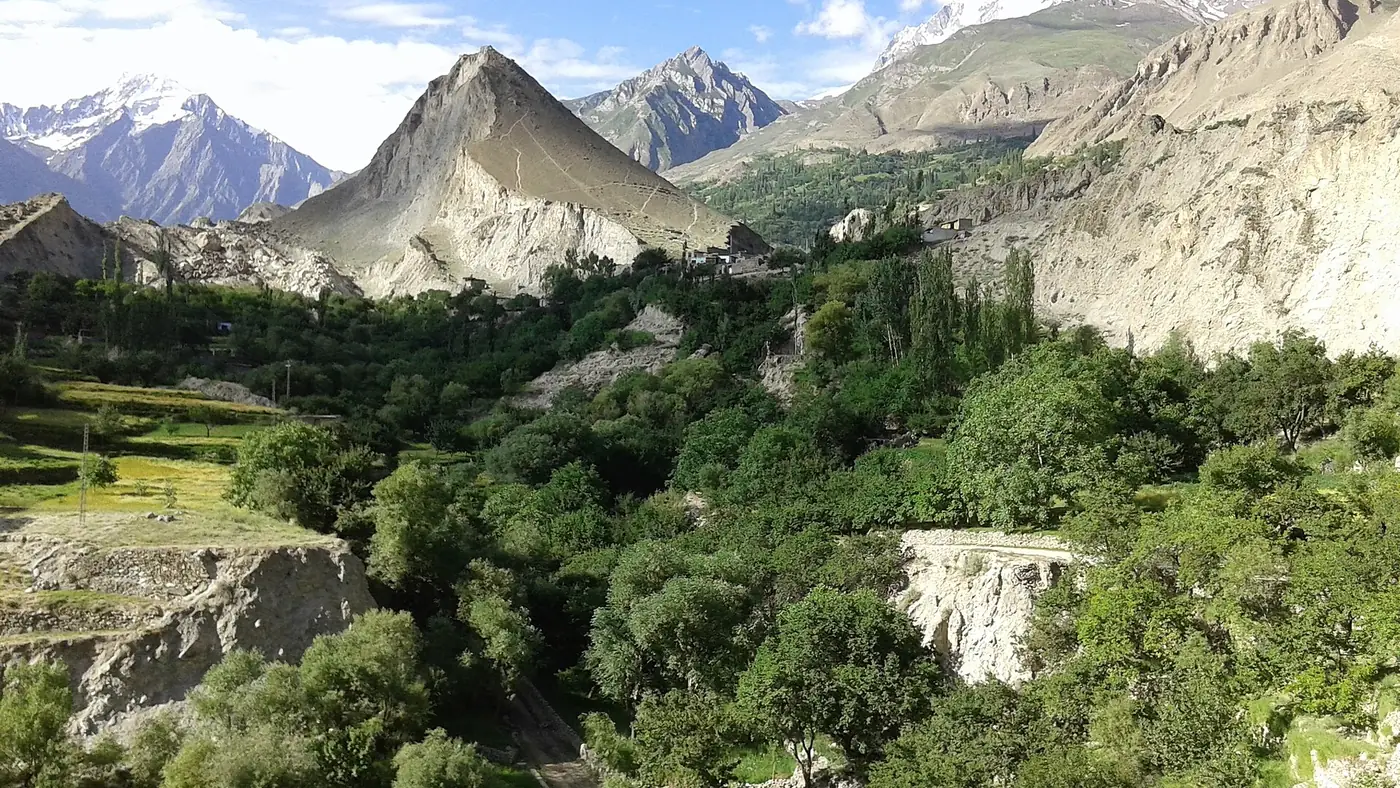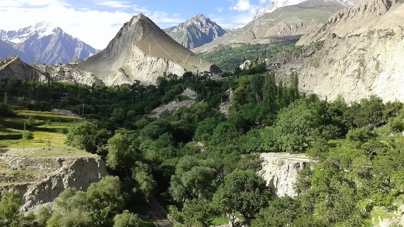
Daintar is a high side valley above Chaprot in Nagar, reached by a rough road down its own gorge, and known mainly to trekkers as one side of a pass route over to Naltar valley. It sits at around 2,743 metres, well above the Karakoram Highway, in country used by shepherds for summer grazing rather than by tourists.
This guide covers how the valley is reached, what its road and pastures are like, and the trek that crosses from here to Naltar.
| At a glance | |
|---|---|
| Where | Above Chaprot, upper Nagar |
| Village altitude | About 2,743 m |
| Access | Jeep track from Chaprot; the pass to Naltar is on foot only |
| Season | Roughly June to September |
| Known for | Pastures, and the Daintar Pass trekking route to Naltar |
| Pass altitude | About 4,500 m |
Where is Daintar, and how do you get there?
Daintar lies above Chaprot, itself reached by the side road that leaves the Karakoram Highway at Chalt. From Chaprot, a track descends into the Daintar nala, the gorge that carries the valley's stream down towards the Hunza river, with a rough road reaching some way down it towards the village. This is jeep country, not a road for a normal car, and it should be checked locally before you commit to it. Our guide to Chaprot valley covers the village it branches from.
Daintar is not a place with a fixed, published road distance in kilometres that stays reliable year to year; treat any figure you see, including a rough one, as approximate, and ask in Chaprot or Chalt what the current state of the track is before setting off.
What the valley is like
Above the village, Daintar opens into high pastures used through the summer by shepherds bringing livestock up from the lower Nagar villages. It is quiet, sparsely settled ground rather than a place with facilities for visitors: no hotels, no restaurants, and nothing to buy once you are past Chaprot. Anyone visiting should carry their own food and water and expect to camp rather than find a room.
The pastures and the surrounding ridgelines are part of the same high-altitude grazing country that runs across much of upper Nagar, described more widely in our guide to meadows in Gilgit-Baltistan.
The Daintar Pass trek to Naltar
Daintar's main claim to attention outside Nagar itself is as one side of a trekking route over the ridge into Naltar valley on the Gilgit side. The route is usually run from Naltar rather than from Daintar, over several days:
- Up from upper Naltar past Naltar Lake to a high camp below the pass.
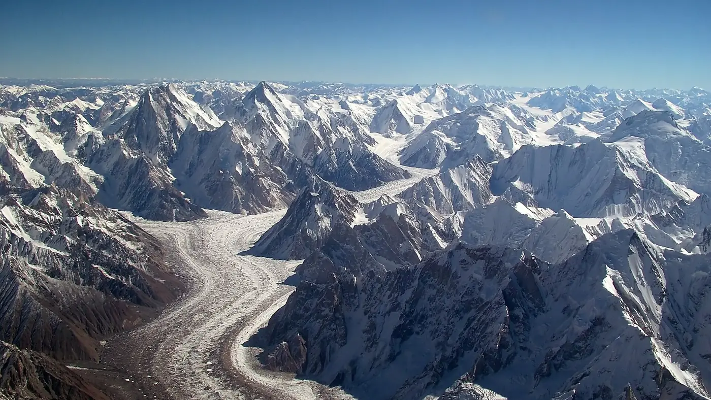
- Over Daintar Pass, at around 4,500 metres, the high point of the route.
- Down through Daintar, past pastures such as Tolebari, to the village and on towards the jeep road at the bottom of the gorge.
- Out to Chalt, either on foot or by arranged jeep from the lower valley, to rejoin the Karakoram Highway.
The whole crossing is typically planned over about five days and runs from July to September, when the pass is clear of the worst snow. It needs proper trekking experience, camping equipment and, for most visitors, a local guide who knows the route on both sides of the ridge; it is not a walk to attempt without one. Our guide to trekking season in Gilgit-Baltistan covers the wider calendar for a route of this kind, and our Naltar valley guide covers the more accessible side of the crossing.
Is Daintar worth visiting?
For most visitors to Nagar, no; there is very little to see beyond pastures and a jeep track, and reaching it in a day means a long, rough drive for modest reward. It matters mainly to trekkers doing the Daintar Pass crossing from Naltar, for whom the valley is the far side of a serious multi-day route rather than a destination on its own. If you want a taste of Nagar's remote side valleys with an easier road, Chaprot itself, a short drive from Chalt, gives a similar sense of the country with far less commitment.
Frequently asked questions
How do you get to Daintar valley?
By jeep track down the Daintar nala from Chaprot, above Chalt in Nagar. The road should be checked locally before travelling, as conditions vary through the season.
Is Daintar valley connected to Naltar?
Yes, by a trekking route over Daintar Pass, at around 4,500 metres, usually walked from Naltar over about five days between July and September.
Is there anywhere to stay in Daintar?
No hotels or guesthouses. Visitors camp, and should carry their own food, water and equipment.
Can you drive all the way from Naltar to Daintar?
No. The two valleys are connected only by the trekking route over the pass; there is no vehicle road across the ridge.
Do you need a guide for the Daintar Pass trek?
Yes, for most visitors. The route crosses a high pass and remote ground on both sides, and a local guide who knows the current conditions is strongly recommended.