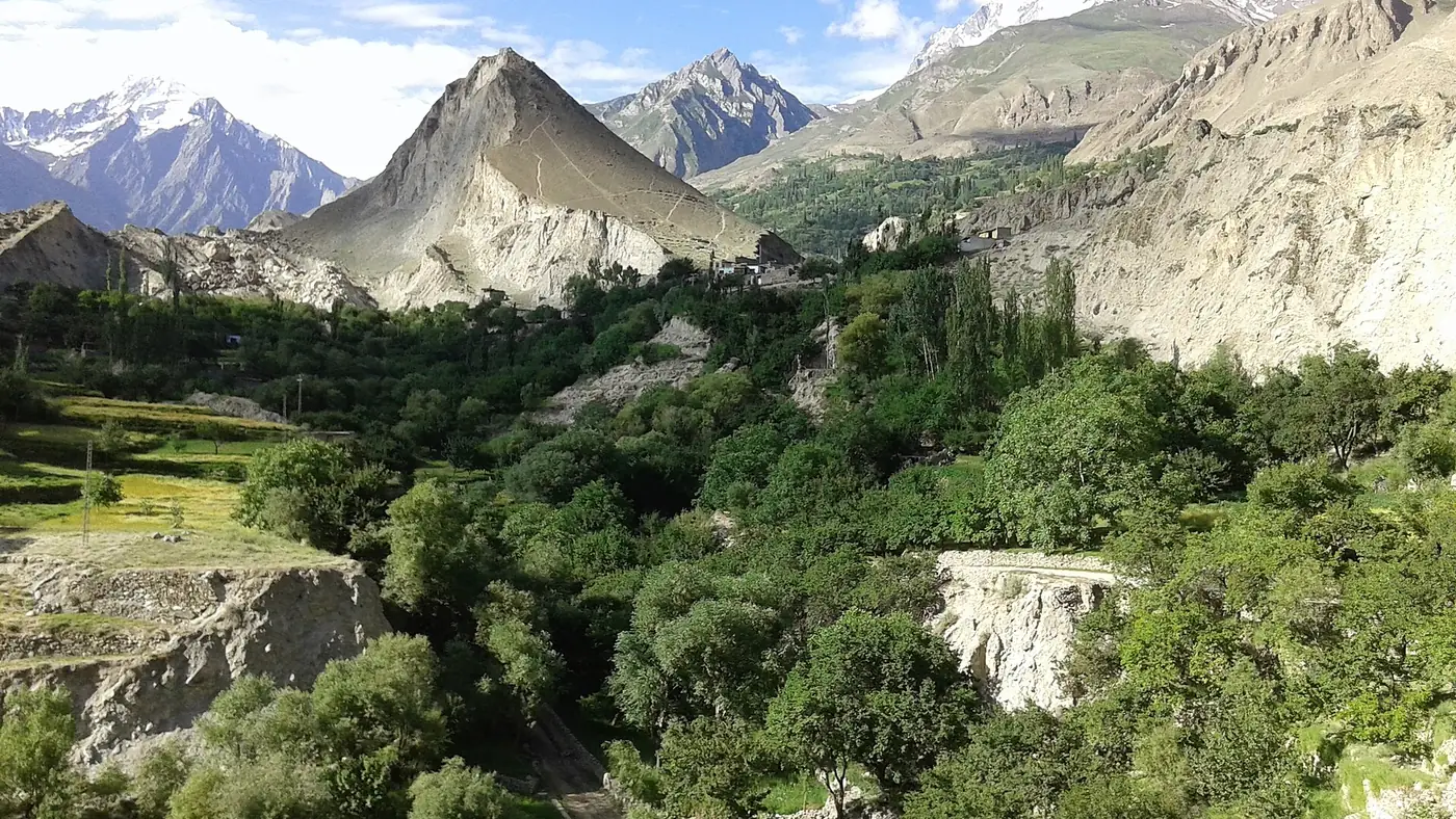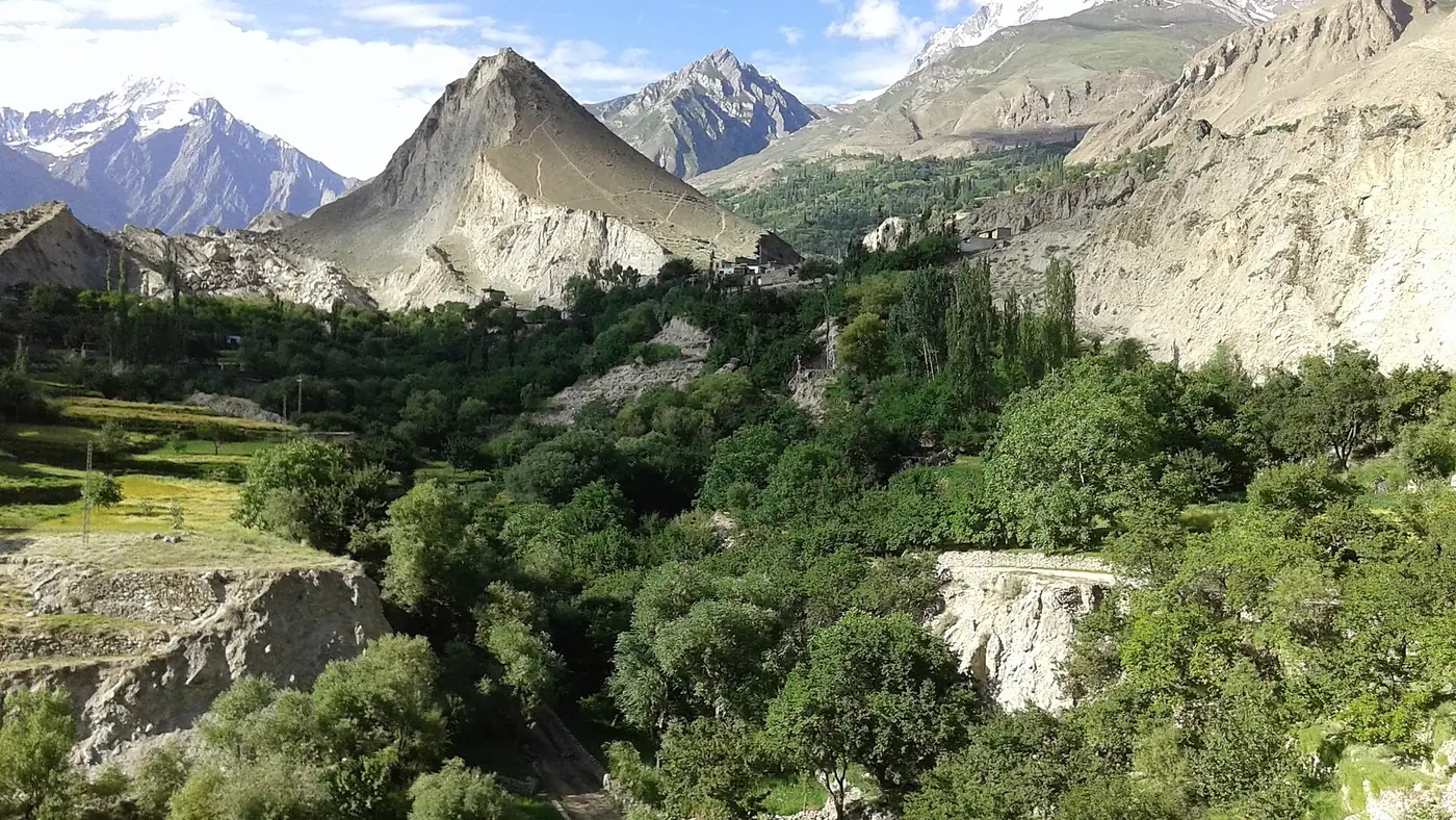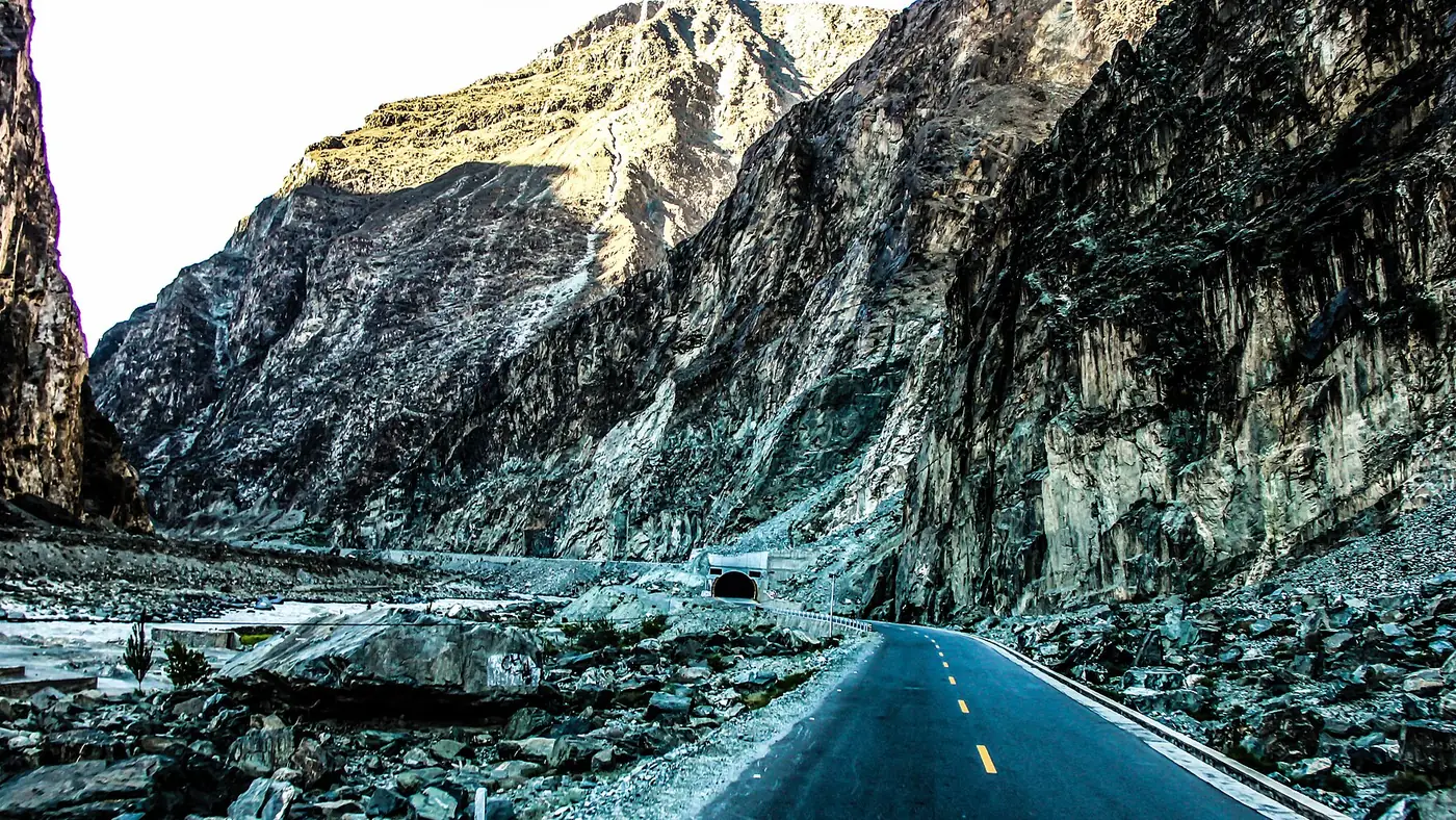
Chalt is the first village of Nagar district on the Karakoram Highway, about 35 km and roughly 45 minutes from Gilgit, at the point where the road to Chaprot, Bar and Daintar leaves the highway. Most visitors pass through it without stopping on the drive to Hunza, but it is also the starting point for anyone heading into Nagar's quieter side valleys.
This guide covers where Chalt sits, what it consists of, and how its side roads connect to the valleys further in.
| At a glance | |
|---|---|
| Where | Karakoram Highway, at the start of Nagar district |
| Altitude | About 1,980 m |
| From Gilgit | About 35 km, 45 minutes |
| From Karimabad | About 40 km further up the highway |
| Known for | Gateway to Chaprot, Bar and Daintar |
| Side road | Climbs north from Chalt to Chaprot, about an hour's drive |
Where is Chalt, and what is it?
Chalt sits on the Karakoram Highway at around 1,980 metres, marking the point where the road crosses from Gilgit district into Nagar. It is not one village but a small cluster, spread over Chalt Bala and Chalt Paeen along with the neighbouring settlements of Akbarabad, Sonikote and Rabat, at the confluence of the Chaprot and Hunza rivers.
Historically Chalt mattered as a frontier post: a fort here was reinforced by the British in 1890, and in December 1891 troops advanced from it against Hunza and Nagar in the opening action of that campaign, a fight remembered mainly at Nilt, a little further up the highway. Our guide to places to visit in Nagar valley has more on the district's history and its other stops.
Chalt as a gateway
For most visitors on the Karakoram Highway, Chalt is a place names are seen on signposts rather than a stop in its own right. Its real interest is what leaves the highway here: a side road climbs north out of Chalt into a group of valleys that very few people staying in Karimabad ever visit.
- Chaprot, a green farming valley about an hour's drive up the side road, with views back towards Rakaposhi. See our guide to Chaprot valley.
- Bar, further up the same road system, at the foot of the Baltar and Toltar glaciers. See our guide to Bar valley.
- Daintar, a high side valley reached beyond Chaprot, with a trekking pass towards Naltar. See our guide to Daintar valley.
- Gappa, a forested spot with grassland and Rakaposhi views, within reach of Chaprot. See our guide to Gappa valley.
None of these has much in the way of visitor infrastructure, and the roads into them are narrow jeep tracks rather than sealed highway. A local driver who knows the current state of the road is the sensible way in, not a private car.
Planning a day from Chalt
If you want to see this side of Nagar rather than just drive through it, a few things are worth knowing before you turn off the highway:
- Start early. These are unpaved roads with slow going, and a return to Karimabad or Gilgit after dark on a narrow mountain track is worth avoiding.
- Ask locally which valley is open. Conditions on the side roads change with the weather and the season, and what is passable one week may not be the next.
- Carry food and water. Beyond Chaprot there is little in the way of shops or restaurants.
- Treat it as a slow day out, not a checklist. These valleys reward a picnic by the fields and a short walk more than they reward trying to see all of them in one trip.
For the wider picture of how Chalt and its side valleys fit into a trip based in Hunza, see our Gilgit and Hunza page.
Is Chalt worth stopping for?
On its own, no; there is little to see from the highway beyond the bridge and the turning for the side valleys. It is worth stopping for if you plan to explore Chaprot, Bar, Daintar or Gappa, in which case Chalt is simply where that day begins. For most visitors on a standard Hunza trip, Chalt is a name on the road rather than a destination, and the time is better spent on Chaprot or Bar themselves if the district interests you.
Frequently asked questions
Where is Chalt valley?
On the Karakoram Highway about 35 km from Gilgit, at the point where the road enters Nagar district. It is around 45 minutes' drive from Gilgit and roughly 40 km short of Karimabad.
What is Chalt known for?
As the first village of Nagar on the highway, with a history as a frontier post from the 1891 Hunza-Nagar campaign, and today as the junction for side roads into Chaprot, Bar and Daintar.
Can you visit Chaprot, Bar and Daintar in one day from Chalt?
Not comfortably. Each valley is a slow jeep drive on its own, and the roads are narrow and weather-dependent. Choose one valley for a day trip rather than trying to combine them.
Do you need a permit to visit the valleys above Chalt?
No permit is generally required for Pakistani visitors, but a local driver who knows current road conditions is essential, since these are unpaved tracks that change with the season.
Is Chalt on the way from Gilgit to Hunza?
Yes. It sits directly on the Karakoram Highway between the two, so most visitors pass through it whether or not they stop.