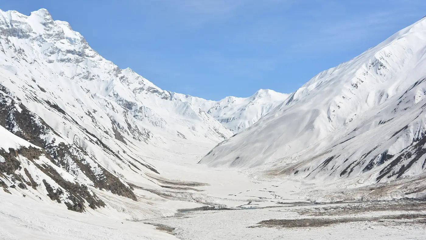
Malika Parbat is the highest peak in the Kaghan valley, at 5,290 metres, standing about 6 km south of Lake Saif-ul-Malook and visible from the lakeshore on any clear day. Its name means "Queen of the Mountains" in Urdu, and for most visitors it is the snow-capped backdrop in every photograph taken at the lake rather than a place they set foot on.
This guide covers where to see the peak from, its climbing history, and what an actual ascent involves for anyone thinking beyond a viewpoint.
| At a glance | |
|---|---|
| Height | 5,290 m |
| Location | Kaghan valley, about 6 km south of Lake Saif-ul-Malook |
| Status | Highest peak in the Kaghan valley and the wider Hazara region |
| Summits | North Peak, Cresta and South Peak |
| First ascent | 1920, North Peak, Captain B.W. Battye with four Gurkha soldiers |
| Best viewpoint | The shore of Lake Saif-ul-Malook |
Where Malika Parbat stands
Malika Parbat rises at the southern end of the ridge system around Lake Saif-ul-Malook, in the upper Kaghan valley of Mansehra district. It has three recognised summits, referred to as the North Peak, the Cresta and the South Peak, with the North Peak the one most associated with the mountain's climbing history.
It is the highest point in both the Kaghan valley and the Hazara region more broadly, which gives it a presence in the landscape that smaller, closer ridgelines around Naran don't have. On a clear day it is visible from much of the upper valley, not only from the lake.
The best places to see it
Lake Saif-ul-Malook is the classic view: the peak fills the skyline beyond the water, and on a still morning it reflects in the lake's surface before the wind picks up. Our Saif-ul-Malook visitor guide covers getting up to the lake by jeep or on foot.
Naran itself offers a distant view on clear days, though closer ridges block much of the mountain from the town.
Higher ground around the lake, walked to rather than driven, opens up a wider view of the peak and its glaciers, though this needs fitness, warm clothing and an early start, since cloud tends to build on the mountain by mid-morning.
Photography is best in the early morning, before wind disturbs the lake's surface and before afternoon cloud gathers around the summit, the same window that suits a visit to the lake generally.
Climbing history
Malika Parbat's North Peak was first climbed in 1920 by Captain B.W. Battye with four Gurkha soldiers, decades before Pakistan's better-known 8,000-metre peaks drew international expeditions. A second ascent followed much later, in 1967, by Trevor Braham, Norman Norris and Gene White.
It has never become a busy mountaineering objective. Very few recorded ascents have followed since, and the peak sits well outside the small circuit of Pakistani mountains that attract regular expedition traffic, despite its height and its position above one of the country's most visited lakes.
What climbing it actually involves
Malika Parbat is a technical mountaineering objective, not a long walk. Guided expeditions run it as a multi-day trip of roughly a week to ten days, starting from Naran or the Saif-ul-Malook area, with a base camp below the peak and a summit push over glaciated and snow-covered terrain that needs mountaineering equipment, ropes and experience.
It is not a casual add-on to a lake visit, and it is not suitable for trekkers without prior glacier travel experience. Anyone considering it should go through an established mountaineering operator, arrange the necessary permissions, and build in spare days for weather, since the summit window narrows quickly once cloud sets in on the upper mountain.
For most visitors to the Kaghan valley, the peak is best enjoyed as the view it provides rather than an ascent, and our guide to planning a Kaghan trip covers where it fits into a shorter visit built around the lake and the valley below it.
Frequently asked questions
How high is Malika Parbat?
5,290 metres, making it the highest peak in the Kaghan valley and the Hazara region.
Can you see Malika Parbat from Saif-ul-Malook lake?
Yes. The peak stands about 6 km south of the lake and is the mountain visible in the background from the shore, weather permitting.
Who first climbed Malika Parbat?
Captain B.W. Battye and four Gurkha soldiers made the first recorded ascent of the North Peak in 1920. A second ascent followed in 1967.
Can an ordinary visitor climb Malika Parbat?
No, not without mountaineering experience. It is a glaciated peak that needs technical climbing skills, proper equipment and an organised expedition, typically taking a week or more.
Is Malika Parbat the same as the mountain in the Saif-ul-Malook legend?
Local tradition around the lake often connects the peak to the mountain setting of the Saif-ul-Malook folk tale, though the story itself does not name it directly. Our guide to the Saif-ul-Malook legend covers the tale itself.