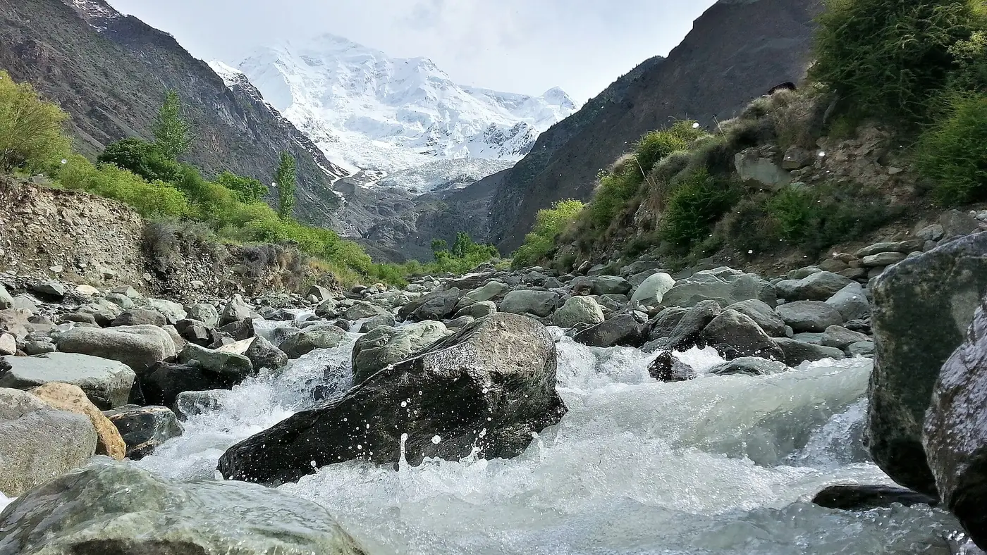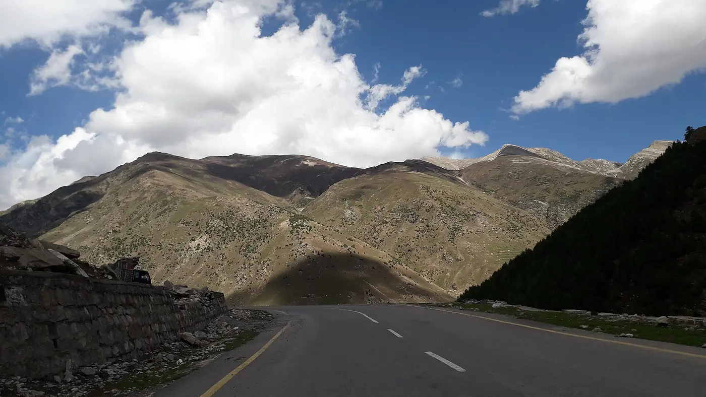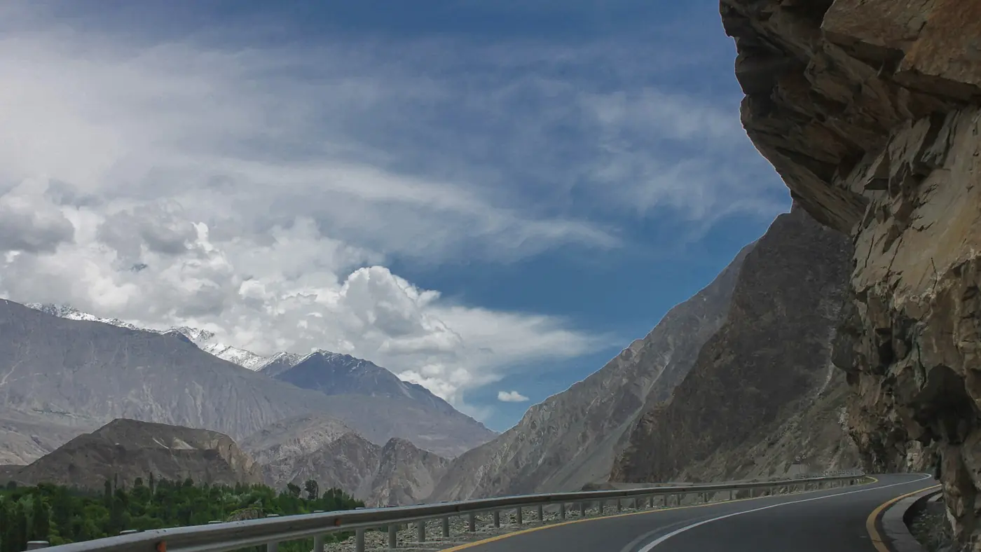
The history of the Karakoram Highway goes back far beyond the road itself. Its line through the Indus gorge and the Hunza valley follows one strand of the old Silk Road, and travellers left carvings on the rocks beside it for thousands of years. The modern highway was begun by Pakistan around 1959, became a joint project with China after 1966, and was formally inaugurated on 18 June 1978. Building it cost the lives of more than 800 Pakistanis, by the army's count, and many Chinese workers besides.
This guide follows the story from the pilgrims and merchants to the soldiers who cut the road, and shows where along the highway you can still see it.
| At a glance | |
|---|---|
| Official name | National Highway N-35 in Pakistan; China National Highway 314 beyond the border |
| Route | Hasan Abdal to the Khunjerab Pass, and on to Kashgar |
| Length in Pakistan | Usually given as 806 km; some sources say 887 km |
| Highest point | Khunjerab Pass, 4,693 m |
| Built | About 1959 to 1978, with the Khunjerab section finished in 1982 |
| Inaugurated | 18 June 1978 |
| Built by | The Frontier Works Organisation of the Pakistan Army, with Chinese engineers and workers |
| Pakistani lives lost | 813, according to the army's own figures |
Before the highway: the Silk Road through the mountains
There was never a single Silk Road, but a web of routes between China, Central Asia and the plains of the subcontinent. One of them came south over the passes at the head of the Hunza valley and down the Indus gorge, on foot and by pack animal, often on narrow paths along the cliffs.
The Chinese Buddhist monk Faxian passed through this region around 400 AD on his way to India, and Xuanzang travelled through it in the 7th century. Merchants came too. At Shatial, west of Chilas, Sogdian traders from Central Asia carved more than 550 inscriptions between the 3rd and 7th centuries, many of them simply their names.
The rocks along the highway record all of this. More than 50,000 carvings and inscriptions have been counted along the Karakoram Highway, concentrated at about ten sites between Hunza-Nagar and Shatial. The oldest show ibex and hunters; later ones show stupas, Buddhas and writing in Kharosthi, Brahmi, Sogdian, Chinese and Tibetan. At the Sacred Rock of Hunza, near Ganish, one inscription names the Gupta ruler Chandragupta II.
The old routes did not cross at Khunjerab. Traders and travellers used the Mintaka and Kilik passes further west, and those were the principal crossings of the Karakoram until the highway replaced them.
How Gilgit was reached before the KKH
In the British period Gilgit was supplied over the high passes, from Kashmir and from the Kaghan valley over the Babusar Pass to Chilas. In 1893 the Indus near Jaglot was bridged by the Partab Bridge, replacing a ferry. After 1947 the Babusar road became Gilgit's main road link to the rest of Pakistan, but it was open for only about four months a year. For the rest of the year the north was cut off by road.
The first plan was modest: a road up the Indus from Swat and Besham to Chilas, known as the Indus Valley Road, and a widening of the narrow track from Chilas to Gilgit.
Building the highway, 1959 to 1978
Plans were drawn up around 1958 and 1959, and work on the Indus Valley Road began soon after, through a gorge where there was often no track to follow, only a footpath. In 1963 Pakistan and China signed the agreement that settled their border. The 1965 war with India interrupted the work, and in 1966 Pakistan and China agreed to carry the road all the way to the frontier.
Two decisions that year shaped the highway you drive today. Pakistan had favoured a route over the Mintaka Pass; China recommended the steeper Khunjerab Pass instead, partly because Mintaka was thought more exposed to air attack. And the Pakistan Army raised the Frontier Works Organisation (FWO) in 1966 specifically to build its share of the road. From 1967 work went on from both ends, northwards from Thakot and southwards from the border.
By 1971 there was a rough, gravel road from Thakot to Khunjerab. Blasting, widening and surfacing it took most of the 1970s. At the peak, according to one account by a retired brigadier, around 15,000 Pakistanis and 9,000 to 11,000 Chinese were working on the road. On 18 June 1978 President Zia-ul-Haq and the Chinese Vice Premier Geng Biao formally inaugurated the highway. The road across the Khunjerab Pass itself was completed in 1982, and the highway opened to the public in 1986.
The human cost
The Karakoram Highway was built in some of the most unstable terrain on earth, by hand as much as by machine, and it killed people throughout. The army's own figure, published with its 2021 documentary on the road, is 813 Pakistani dead: 567 soldiers and 246 civilians. Most died in landslides, rockfall and falls into the gorge.
Chinese losses are harder to pin down, and published estimates range from under a hundred to about two hundred. The Chinese cemetery at Danyor, across the river from Gilgit, has 88 graves, and Chinese and Pakistani officials still gather there to honour the workers buried in it.
The mountains did not stop being dangerous once the road was open. On 28 December 1974 an earthquake almost destroyed Pattan, in Kohistan, killing about 5,300 people in the region, and landslides blocked the road for around 40 km. Slides and floods still close and damage the highway every year.
Rebuilding the highway since 2008
The original road was narrow, and by the 2000s it was struggling with trucks, slides and time. It has been rebuilt in stages:
- Raikot Bridge to Khunjerab, 2008 to 2013. The China Road and Bridge Corporation widened and resurfaced about 335 km of the northern highway. This is why the road north of Raikot is so much better than the road south of it.
- Attabad, 2010 to 2015. A landslide on 4 January 2010 created Attabad Lake and drowned about 19 km of the highway. For five years traffic crossed by boat, until a 24 km realignment with five tunnels opened on 14 September 2015. Our guide to the Pak-China Friendship Tunnels tells that story.
- Havelian to Thakot, from 2016. As part of the China-Pakistan Economic Corridor, the southern section was rebuilt as the Hazara Motorway, with the four-lane stretch from Havelian to Shinkiari finished in November 2019.
- Thakot to Raikot, still waiting. The 279 km through Kohistan have not had the same upgrade, and the Dasu and Diamer-Bhasha dams mean parts of the road will be moved uphill as their reservoirs fill.
The border has changed too. The Khunjerab crossing used to open only from spring to late autumn, and in December 2024 it was announced that it would stay open all year for trade.
Where to see the history on the road
You can see much of this story from the highway, if you know where to stop:
- Chilas and Thalpan. Thousands of carvings on boulders beside the Indus. Our guide to places to visit in Chilas covers the main sites.
- Jaglot, where the old routes to Gilgit converged and the Partab Bridge once crossed the Indus.
- The Chinese cemetery at Danyor, about 10 km from Gilgit, with headstones inscribed in Chinese.
- The Sacred Rock of Hunza, between the highway and the river near Ganish.
- Attabad Lake and the tunnels, the landslide and the rebuilding in one view.
- Khunjerab, the pass China chose in 1966. Our Khunjerab Pass guide covers a visit.
Is the history worth planning a trip around?
For most people, the history is a layer on top of a trip to Hunza rather than the reason for it. Knowing that the cliff above you took lives to cut, or that a rock by the road carries a merchant's name from 1,500 years ago, changes how the drive feels.
Some cautions. The carvings are unsigned, and in summer the Chilas sites are very hot by mid-morning. Shatial lies on the Kohistan stretch, which the UK government advises its citizens not to travel on at all, so check current advice before planning a stop there. And many of the Indus carvings will disappear under the Diamer-Bhasha reservoir, so if they interest you, don't leave them for a later trip.
Our nine-day Gilgit, Hunza and Khunjerab tour includes the rock inscriptions at Danyor, the Kargah Buddha and the road to the border. For the region as a whole, see our Gilgit and Hunza page.
Frequently asked questions
When was the Karakoram Highway built?
Work began around 1959 as the Indus Valley Road, became a joint project with China after 1966, and the highway was formally inaugurated on 18 June 1978. The road across the Khunjerab Pass was completed in 1982, and the highway opened to the public in 1986.
How many people died building the Karakoram Highway?
The Pakistan Army puts the Pakistani dead at 813, including 567 soldiers and 246 civilians. Estimates of Chinese deaths vary, and 88 graves stand in the Chinese cemetery at Danyor near Gilgit.
Who built the Karakoram Highway?
Pakistan's section was built by the Frontier Works Organisation, raised by the Pakistan Army in 1966 for the job, working with Chinese engineers and labourers. China built its own section to Kashgar.
Does the Karakoram Highway follow the Silk Road?
It follows one of the old Silk Road routes through the Indus and Hunza valleys, marked by thousands of ancient rock carvings. The old routes crossed the Mintaka and Kilik passes rather than Khunjerab.
Why is the Karakoram Highway called the eighth wonder of the world?
Because of the engineering: a road cut through the Indus gorge and the Karakoram to 4,693 metres, built in the 1960s and 1970s at great human cost.
How long is the Karakoram Highway?
About 1,300 km from Hasan Abdal to Kashgar. The Pakistani section, the N-35, is usually given as 806 km, though some sources quote 887 km.