
Is the Karakoram Highway safe? For most of its length, yes, and thousands of Pakistani travellers drive it every week in summer. The road itself is paved from Hasan Abdal to the Chinese border, and the everyday risks are the ones on any mountain road: blind bends, trucks and rockfall. One stretch is different. Through Kohistan, between roughly Mansehra and Chilas, the highway has a real security history and foreign governments advise against travelling it, so the honest answer changes section by section rather than staying the same for all 887 kilometres.
This guide goes through the highway in the order you would drive it, from the plains to the border, and covers what each stretch is actually like: the road surface, the traffic, and, where it applies, the security picture.
| Section | Road | Main risk |
|---|---|---|
| Hasan Abdal to Thakot | Motorway-grade, fast | Ordinary motorway driving |
| Thakot to Chilas (Kohistan) | Narrow, cut into the gorge | Security history; landslides; blind bends |
| Chilas to Gilgit | Rebuilt, wide | Heat; occasional rockfall |
| Gilgit to Hunza and Sost | Good, scenic | Trucks; glacial floods near Hassanabad |
| Sost to Khunjerab Pass | Paved, high altitude | Altitude, cold, thin traffic |
Hasan Abdal to Thakot: the easy start
This first stretch runs on the Hazara Motorway (M-15) as far as Thakot, and it is nothing like the rest of the KKH: dual carriageway, service areas and ordinary motorway speeds. There is no particular security concern here, and it is where most drivers from Islamabad or Lahore cover the bulk of the day's distance before the road narrows.
Thakot to Chilas: Kohistan, the section that matters most
North of Thakot the highway becomes the road most people mean when they ask if the KKH is safe. It runs through Battagram, Besham, Pattan and Dasu, cut into the walls of the Indus gorge, often single-lane where the slope has eaten into the road, and this is where both the driving risk and the security risk are highest.
Road conditions. This is the narrowest, most exposed stretch of the whole highway, and it is also the stretch that closes most often for landslides. In May 2026, four days of heavy rain triggered landslides and flooding across Lower Kohistan, killing one person, injuring dozens and damaging more than 20 vehicles, and the district administration banned traffic beyond Besham until machinery cleared the debris.
Security. On 26 March 2024 a suicide bomber rammed a vehicle into a bus carrying Chinese engineers to the Dasu dam project near Besham, killing five of them and their Pakistani driver. On 2 December 2023, gunmen fired on a passenger bus in Chilas, at the northern end of this section, killing 10 people. As of the UK government's Pakistan travel advice, updated 22 September 2026, the advice for foreign nationals is against all travel on the Karakoram Highway between Mansehra and Chilas, via Battagram, Besham, Dasu and Sazin, up to the junction with the N15 at Chilas.
Pakistani travellers drive this section daily, and it is not closed to them. But it is the one part of the KKH where checking the current security and road situation before you set off, rather than a few days before you leave home, genuinely matters.
Chilas to Gilgit: rebuilt and wider
North of Chilas the highway opens out into a wider, more recently rebuilt road, and the character of the drive changes noticeably. The main hazards here are heat in summer, since Chilas and the Indus gorge below it are extremely hot in June and July, and occasional rockfall rather than a security concern. In February 2026 a car travelling from Rawalpindi to Gilgit went off the road near Treis Banda in Lower Kohistan and fell towards the Indus, killing three people; early reports pointed to speed rather than any other cause, which is the pattern behind most serious crashes on this road.
Gilgit to Hunza and Sost: the scenic, calmer stretch
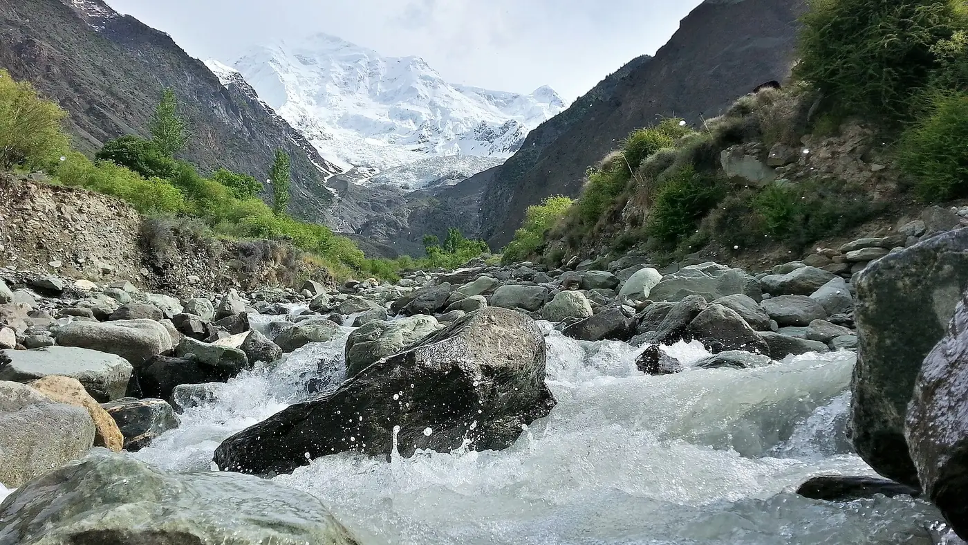
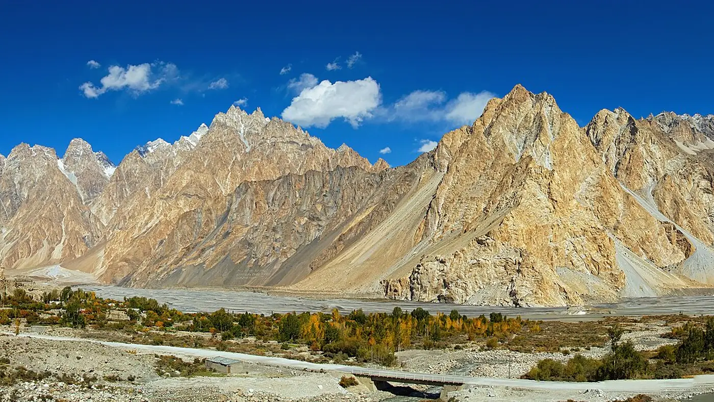
This is the section most visitors think of when they picture the KKH: past Rakaposhi, through Karimabad and Gulmit, and the Attabad Lake tunnels. It carries plenty of tourist traffic in summer and is generally the calmest part of the drive for security. The main hazard is natural rather than criminal: the Shishper glacier above Hassanabad, below Aliabad, has produced repeated glacial lake outburst floods that have damaged the highway, most recently eroding protective walls in July 2025.
Sost to Khunjerab Pass: high, cold and quiet
The final climb from Sost to the border at 4,693 metres is paved and well maintained, with switchbacks rather than technical driving. The risks here are altitude and cold rather than road condition: visitors can gain more than 2,000 metres of height in a couple of hours, and the wind at the top is bitter even in July. Our Khunjerab Pass guide covers the altitude side in detail, and the pass is closed to visitors from roughly December to April regardless of the road's condition.
What the security record actually shows
Taken together, the incidents on the KKH cluster tightly around one section, Kohistan, and around one target, Chinese nationals working on dam projects, rather than being spread across the whole route. Gilgit, Hunza and the road north of Chilas have not had comparable incidents. That is why foreign advisories single out Mansehra to Chilas specifically rather than the highway as a whole, and why the practical answer to "is the KKH safe" depends on which part of it you mean.
For overseas visitors, travelling against your government's advice can also affect your travel insurance, which is worth checking before you commit to driving through Kohistan. Our broader guide to safety in the Northern Areas covers how this fits into the wider picture for a Northern Areas trip.
Driving risk versus security risk
For most travellers on most of the highway, the driving itself is the bigger everyday risk: blind bends, trucks taking up the whole road on a climb, and rockfall after rain. Our guide to driving on the Karakoram Highway covers how to handle bends, share the road with trucks and manage rockfall, and our Karakoram Highway road status guide lists where to check for closures before you set off.
Should you drive it yourself, hire a driver, or fly?
Drive yourself if you have genuine mountain-road experience, can share the driving and are committed to daylight-only travel through Kohistan. Hire a local driver if nobody in the group has driven roads like this before, or if you would rather look after your family than the road on the harder stretches. A local driver also knows what happened on the road yesterday, which no advisory can tell you in real time.
Flying to Gilgit or Skardu avoids Kohistan altogether, at the cost of depending on weather for the flight itself. Our Gilgit, Hunza and Khunjerab tour runs with an experienced mountain driver and treats a spare day as normal rather than exceptional, which is the most practical way to manage both the road and the schedule.
Frequently asked questions
Is it safe to drive the Karakoram Highway right now?
Most of it is driven safely by thousands of Pakistani travellers every week. The exception is Kohistan, between Mansehra and Chilas, which has a security history and is where foreign governments advise against travel; check current conditions before driving that stretch specifically.
Which part of the Karakoram Highway is the most dangerous?
Kohistan, between Besham and Chilas. It combines the narrowest, most landslide-prone road on the route with the highway's only real security history.
Is Hunza on the Karakoram Highway safe to visit?
Yes. Hunza and the road north of Chilas have not seen the kind of incidents recorded in Kohistan, and it is one of the calmer, more visited parts of the north.
Can I avoid the risky part of the Karakoram Highway?
Flying to Gilgit or Skardu bypasses Kohistan entirely. There is no road detour around it that avoids the section altogether, since the Babusar Pass rejoins the KKH at Chilas, at the northern end of that stretch.
Do foreign tourists need extra caution on the KKH?
Yes. Several governments, including the UK's, advise against travel on the KKH between Mansehra and Chilas, and ignoring that advice can affect travel insurance. Pakistani travellers are not restricted, but should still check conditions before setting out.
.jpg)