Is it safe to travel to the Northern Areas? For most Pakistani travellers, yes. Hunza, Skardu and the Galiyat take large numbers of families every year without trouble. The risks that actually hurt people up north are roads, rivers, weather and altitude, far more than crime or militancy. Security does vary by region, though: in 2026 the Kohistan stretch of the Karakoram Highway, Swat, the road to Chitral and the areas along the Line of Control all need a check of the news before you go.
This guide goes region by region through what the security picture looks like, then covers the road and health risks that apply everywhere, and ends with the habits that make a northern trip safe.
| At a glance | Security picture in 2026 | Main practical risk |
|---|---|---|
| Hunza, Nagar, upper Hunza | Calm | Rockfall, glacial floods, altitude at Khunjerab |
| Skardu and Baltistan | Calm | Flight cancellations, Deosai altitude and cold |
| Gilgit, Chilas, Fairy Meadows | Mostly calm; past attacks near Chilas | Heat, slides, jeep tracks, road sit-ins |
| KKH through Kohistan | Past attacks; foreign warnings | Narrow road, slides, construction closures |
| Naran and Babusar | Calm | Traffic, brakes on the descent, flash floods |
| Swat and Kalam | Worsened in 2026 | River floods, damaged road above Bahrain |
| Chitral and Kalash | Border district; foreign warnings on the road | Long mountain road, the Lowari tunnel |
| Azad Kashmir, Neelum | LoC closures; unrest in 2026 | Landslides on the Neelum road |
| Murree and the Galiyat | Calm | Snow jams in winter, weekend crowds |
What are the real risks up north?
Street crime in the mountain valleys is low, and hospitality to visitors is taken seriously, especially in Hunza and Baltistan.
What goes wrong is more ordinary:
- Road accidents. Long days on mountain roads, tired drivers, worn brakes and driving after dark are where most trips go wrong.
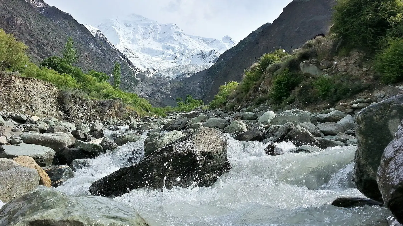
- Water. Rivers rise fast after rain upstream, and people get caught on riverbeds and gravel bars.
- Weather. July and August bring the monsoon to the south of the region and peak glacier melt to the north, and with them landslides, flash floods and closed roads.
- Altitude. Several of the most popular day trips climb above 4,000 metres in a few hours.
Security is covered region by region below.
Region by region
Hunza, Nagar and upper Hunza
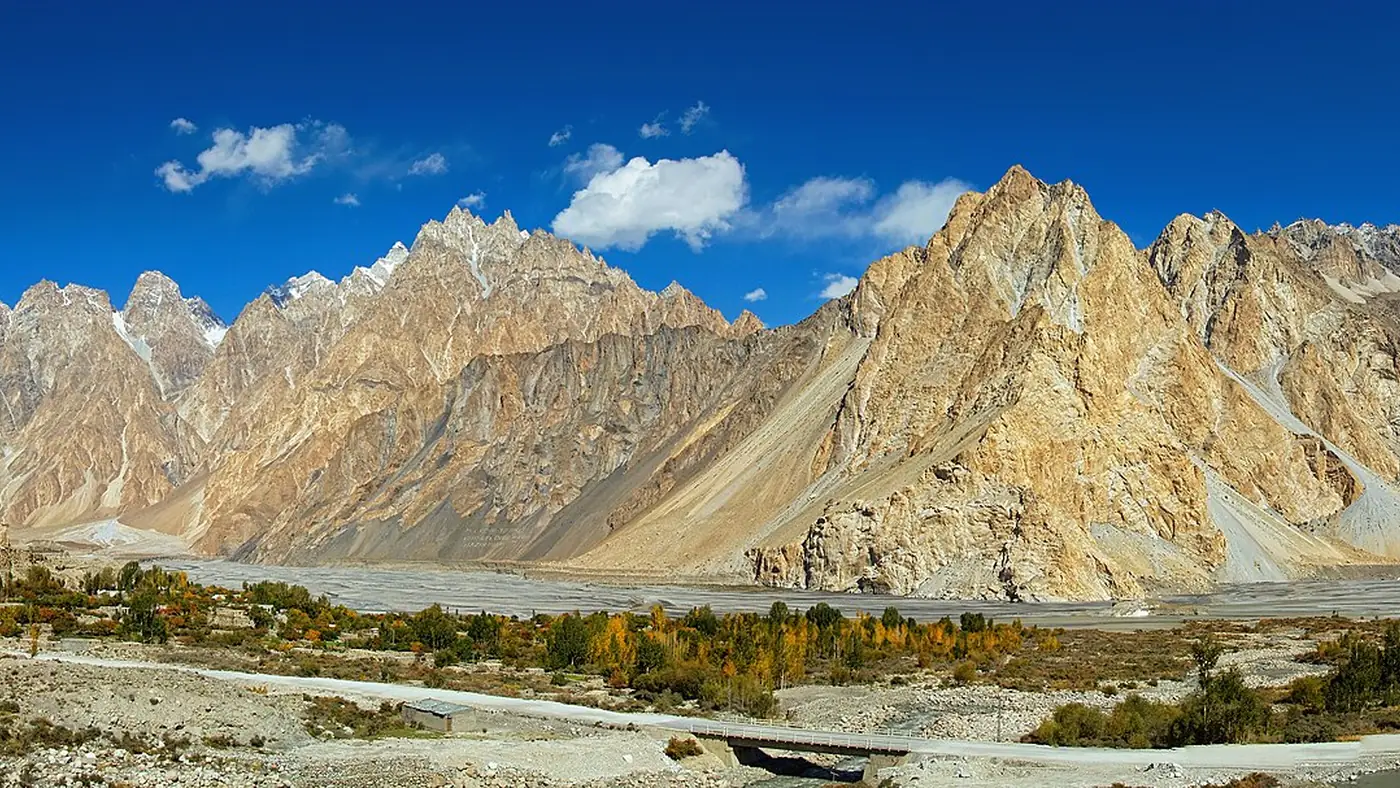
The calmest part of the north for visitors. The risks here are natural. The Shishper glacier above Hassanabad has sent repeated floods down onto the Karakoram Highway, rockfall occasionally cuts the road between Gilgit and Hunza, and in upper Hunza the road beyond Attabad has been buried by stream debris after heavy rain. The Khunjerab Pass, at 4,693 metres, is the one place where altitude catches people out; our Khunjerab Pass guide covers how to do it safely.
Skardu and Baltistan
Also calm. The main hazards are the Jaglot to Skardu road, which runs under loose slopes and was cut by floods in July 2026, and the Deosai plateau, at over 4,000 metres, where there is no shelter, no signal and night-time cold even in summer. If you fly in, the flight is cancelled whenever cloud closes the route, so keep a spare day.
Gilgit, Chilas and Fairy Meadows
Diamer district, around Chilas, is where security has been an issue: gunmen attacked a passenger bus near Chilas in December 2023. It is also where the Karakoram Highway gets blocked by sit-ins. In April 2026 people affected by the Diamer-Bhasha dam blocked the highway at Chilas and Thor for close to a week, stranding hundreds of travellers, and in June 2026 a protest at Pattan in Kohistan stopped traffic for more than 12 hours.
The jeep track from Raikot Bridge to Tato, for Fairy Meadows, is its own risk. On 1 June 2026 a tourist jeep went into the Tattu nala ravine and seven people died. Use the local jeeps, don't overload them, and don't ride on the roof.
The Karakoram Highway through Kohistan
Between Besham and Chilas the highway runs through the Indus gorge in Kohistan, and this stretch carries the most serious security history on the route north. In March 2024 a suicide bomber attacked a convoy near Besham, killing five Chinese engineers from the Dasu dam project and their Pakistani driver. The UK government advises its nationals against all travel on the Karakoram Highway between Mansehra and Chilas.
Pakistani travellers drive this road every day. Drive it in daylight, follow instructions at checkposts, and in summer consider the Babusar route through Naran, which avoids Kohistan altogether.
Naran, Kaghan and Babusar
No particular security concern. The risks are the road: holiday traffic in the Kaghan valley, the long, steep descent from Babusar Top to Chilas, where brake failure causes accidents, and flash floods. In July 2025 a cloudburst on the Chilas side of Babusar washed away parts of the road and killed several tourists.
Swat and Kalam
Swat has become harder to call in 2026. Residents reported militants in the hills around Matta in the summer, and on 2 August a suicide bomber struck an anti-militancy rally in Kabal, across the river from Mingora, killing 17 people. In 2024 a police escort was killed when a convoy of foreign diplomats returning from Malam Jabba was bombed. The UK advises against all travel to Swat.
The main valley remains busy with Pakistani tourists, but this is the region where reading the news in the week before you go matters most. Swat is also where the river danger is clearest: on 27 June 2025 a flash flood swept away a group of tourists, most of them one family from Sialkot, who had walked out onto the riverbed near the Mingora bypass for photographs.
Chitral and the Kalash valleys
Chitral borders Afghanistan, and in September 2023 militants attacked border posts in the district from across the border. Pakistani tourists visit the town and the Kalash valleys all summer, but the UK advises its nationals against all travel on the N-45 from Mardan to Chitral, including the Kalash valleys. Travel in daylight and check the news for the Dir districts before you set off.
Azad Kashmir and the Neelum valley
Two separate issues. The first is the Line of Control, which the Neelum road follows for long stretches. In May 2025, during the confrontation with India, checkpoints turned tourists back from the Neelum valley. The second is unrest inside Azad Kashmir: in June 2026 the AJK government asked visitors to stay away from 5 to 20 June and those already there to leave, ahead of strikes by the Joint Awami Action Committee. Mobile data was cut for months afterwards, and in mid-September 2026 it was still off in Muzaffarabad although restored in Neelum.
Pakistani visitors need only a CNIC, but places close to the LoC can close at a day's notice. Check the current situation before you drive up.
Murree and the Galiyat
Safe, with one serious exception: snow. In January 2022, 23 people died in Murree when thousands of cars were trapped in a blizzard, some from carbon monoxide in idling cars buried in snow. In January 2026 the administration closed Murree to tourists for a time during the heaviest snowfall in years. If a big snowfall is forecast, don't go.
Roads, rivers and weather
These apply everywhere in the north, and they are where the planning pays off.
- Drive in daylight only. Rockfall, broken road edges and unlit trucks make mountain roads dangerous after dark, and the Babusar Pass is closed to traffic at night.
- Keep off riverbeds. Don't walk out onto gravel bars or sit on rocks mid-stream, however calm the water looks. Rain far upstream can raise a river within minutes.
- Respect the monsoon. July and August carry the highest risk of landslides and flash floods on the Karakoram Highway, the Babusar road and in Swat. If a Pakistan Meteorological Department alert is out and the authorities are telling people to postpone, postpone.
- Check the road each morning. Our guide to checking Karakoram Highway road status lists the official sources and helplines.
- Expect man-made closures too. Sit-ins on the Karakoram Highway and political protests elsewhere close roads at short notice. In late September 2026 the M-1, the Hazara Motorway and the GT Road into Islamabad were closed ahead of a planned march, which cuts off the main routes north.
- Service the car. Brakes above all. Use low gears on long descents and stop if you smell the brakes.
Health: altitude, heat, water and distance
Altitude. Karimabad sits at about 2,500 metres and Skardu at about 2,200, which most people notice only on stairs. The day trips are different: Khunjerab at 4,693 metres, Babusar Top at 4,173 and Deosai at over 4,000 are all reached by car in a few hours. Keep visits short, move slowly, drink water, and go down at once if anyone develops a bad headache, vomiting, confusion or unsteadiness. Anyone with heart or lung disease, and pregnant women, should ask a doctor before going that high.
Heat. Chilas and the Indus gorge below it are extremely hot in June and July. Carry plenty of water in the car and don't break down in the middle of a summer afternoon if you can help it.
Water and food. Stomach upsets are the most common illness on northern trips. Drink bottled, boiled or filtered water, including in hotels, and be careful with salads and raw fruit rinsed in tap water.
Distance from care. The main hospitals are in Gilgit and Skardu. On Deosai, above Sost or on a jeep track, help is hours away. Carry a basic first-aid kit and any regular medicines in the car rather than the boot, and know the numbers: Rescue 1122 and, in Gilgit-Baltistan, the Tourist Police on 1422. Our travel guide has more on altitude and health across the north.
How to travel sensibly
- Build in a spare day, ideally at the end of the trip, so a closed road or cancelled flight changes the plan rather than wrecks it.
- Check the news for your route in the week before you leave, not just the weather. Official sources such as the Gilgit-Baltistan tourism department post advisories.
- Carry your CNIC and the car's papers for checkposts, and follow instructions there.
- Tell someone your plan for each day before you lose signal, which you will in Kohistan, on Deosai and above Sost.
- Use local drivers and jeeps for the tracks to Fairy Meadows, Deosai and the high lakes.
Who should think twice, and where to go instead
For a first family trip, the safest combination in 2026 is Hunza or Skardu, reached by air to Skardu or Gilgit or by road with a spare day, or the Galiyat and Naran for a shorter break. None of these carries a special security concern, and all have plenty of hotels and help nearby.
Think harder about Swat and the Chitral road while the 2026 security situation lasts, about Kohistan if you would be driving it after dark, and about the Neelum valley whenever LoC tension or AJK unrest is in the news. Families with young children or elderly parents should also think about altitude: a day at Khunjerab or on Deosai asks more of them than of anyone else.
If you would rather have the road and the logistics handled by people who drive them all season, our Gilgit, Hunza and Khunjerab tour runs with an experienced mountain driver and a spare day held for weather.
Frequently asked questions
Is it safe to travel to the Northern Areas with family?
Yes, for the main tourist valleys. Hunza, Skardu, Naran and the Galiyat see families all summer. Travel in daylight, keep a spare day, and be careful with children at high altitude and near rivers.
Is Gilgit-Baltistan safe for tourists?
Hunza, Nagar, Skardu and Gilgit are among the calmest parts of Pakistan for visitors. The past incidents have been around Chilas in Diamer district, and the everyday risks are landslides, floods and altitude.
Is the Karakoram Highway safe to drive?
Thousands of Pakistani travellers drive it every week in summer. The stretch through Kohistan has a history of attacks and is prone to slides and construction hold-ups, so drive it in daylight, check the road each morning, and use the Babusar route in summer if you prefer to avoid it.
Is Swat safe to visit in 2026?
The main valley is still visited by Pakistani tourists, but security worsened in 2026, including a suicide bombing in Kabal on 2 August that killed 17 people. Check the latest news and local advice before you commit.
Is Neelum valley safe right now?
Pakistani visitors can travel with a CNIC, but the valley runs along the Line of Control and can close to tourists at short notice, as it did in May 2025. Unrest across Azad Kashmir in June 2026 also led to a travel advisory, so check the current situation before driving up.
What is the biggest danger for tourists in the north?
The roads and the rivers. Most tragedies involve vehicles on mountain roads, night driving, brake failure on descents, or people caught by a sudden rise in a river.