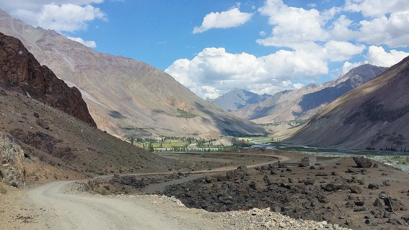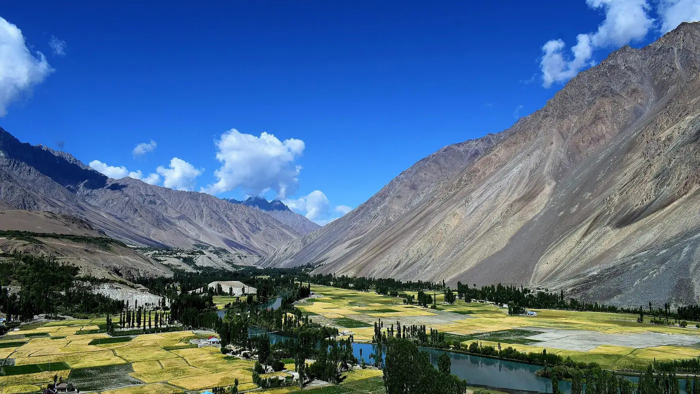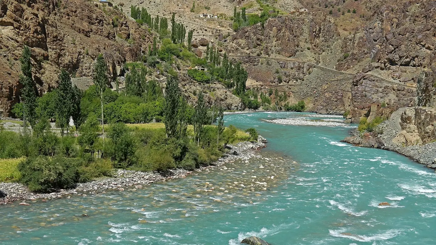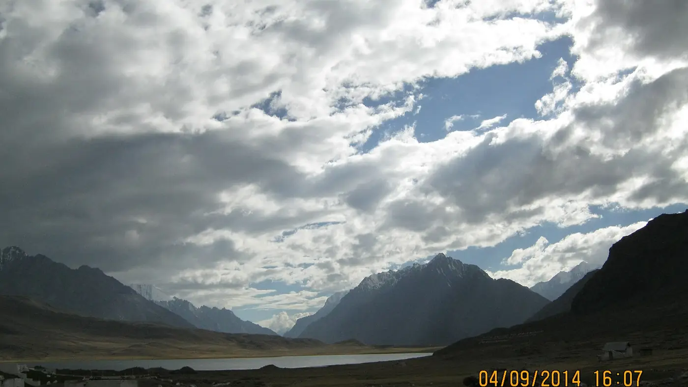
Gilgit to Shandur is about 216 km by road, west up the Ghizer valley through Gahkuch, Gupis and Phander to the pass at about 3,700 metres. Allow seven to nine hours with stops, and plan it as two days if you can, with a night in Phander, which leaves two or three hours to the top the next morning. The road is sealed but narrow as far as Phander and rougher beyond it, and the pass is dependably open only from about June to September.
This guide takes the route leg by leg, describes the road as it is in 2026, and covers the onward drive over the pass to Mastuj and Chitral.
| At a glance | |
|---|---|
| Distance | About 216 km on the Gilgit–Shandur road (N-140) |
| Driving time | 7 to 9 hours with stops; two days is better |
| Route | Gilgit, Gahkuch, Gupis, Khalti, Phander, Teru, Barsat, Shandur |
| Top of the pass | About 3,700 m, at Shandur Lake and the polo ground |
| Dependable season | June to September; snow closes the pass in winter |
| Vehicle | A car in good order to Phander in summer; high clearance beyond |
| Fuel | Gilgit or Gahkuch; don't count on more before Booni in Chitral |
| Onward to Chitral | About 170 km more, 6 to 8 hours, through Mastuj |
How long does the drive take?
These are realistic times for a car or jeep in dry weather, with short stops. Add time for photo stops, a slow truck, or any stretch under repair.
| Leg | Distance | Driving time |
|---|---|---|
| Gilgit to Gahkuch | About 70 km | About 2 hours |
| Gahkuch to Gupis | About 45 km | 1 to 1.5 hours |
| Gupis to Phander, past Khalti Lake | About 55 km | About 2 hours |
| Phander to Shandur, via Teru and Barsat | About 50 km | 2 to 3 hours |
That is seven hours or more of driving before anything goes wrong. It can be done in one day if you leave Gilgit at first light, but you reach 3,700 metres tired and late in the day, when the cold is coming on. A night in Phander, at about 2,900 metres, breaks the drive at the right point and helps with the altitude. A same-day return from Gilgit is not sensible.
The route, stage by stage
- Gilgit to Gahkuch. West along the river through the Punial villages to Gahkuch, the district headquarters of Ghizer and the last sizeable bazaar. Fill the tank here if you did not in Gilgit.
- Gahkuch to Gupis. The valley narrows. This stretch was damaged by the floods of 2025 and 2026, so expect diversions. Gupis is the junction for the Yasin valley.
- Gupis to Phander. Past the shore of Khalti Lake and on up the valley to Phander, where it opens out around its lake. Our Phander valley guide covers the night stop.
- Phander to Shandur. Up through Teru and Barsat, the last village on the Gilgit-Baltistan side, onto the open, grassy top of the pass, with Shandur Lake and the polo ground beside it.
Our guide to the drive from Gilgit to Phander covers the first 170 km in more detail.
What is the road like?
The Gilgit–Shandur road has been part of national highway N-140 since 2020, maintained by the National Highway Authority (NHA). The NHA has studied widening it to two lanes, but for now it is much as it has been for years.
Gilgit to Phander is a single-lane surfaced road, about 3.65 metres wide in the NHA's own survey. It is sealed most of the way but patched and broken in places, and shared with trucks, vans and livestock. A car in good condition can manage it in summer, driven slowly.
Phander to Shandur is narrower, rougher and slower. In the NHA's feasibility survey it was an earth and gravel track, and although parts have been improved since, it still has unsealed and broken stretches on the climb to the pass. A high-clearance vehicle or a jeep with a local driver is the sensible choice.
The road's real problem is floods. In August 2025 a glacial lake outburst near Raushan, on the stretch below Gupis, dammed the Ghizer river and put about 5 km of the road under water, cutting off Gupis, Phander and Yasin for days while a diversion was built. In July 2026 floods washed away a bridge near Yangal, at kilometre 98, and the NHA opened an alternate route on 24 July. Ask about the road in Gilgit before you leave, especially in July and August.
When is the road over Shandur open?
The pass is normally crossable from late spring until the first heavy snow in October or November, but snow keeps no timetable, and it can close the road at either end of the season. For planning, treat June to September as the dependable window:
- June still has snow on the high ground. In recent years the Shandur Polo Festival has also moved into June; it was held on 11 to 13 June in 2026. Our Shandur Polo Festival guide covers the event.
- July and August are the warmest months at the top, and the most likely months for floods and landslides on the road.
- September is usually the best month: settled weather, clear skies and quieter roads.
- October can be beautiful, but it is cold at the pass, and early snow can close it without warning.
Onward to Chitral
From the top, the road drops into the Laspur valley in Upper Chitral and runs down through Sor Laspur, Balim and Harchin to Mastuj, about 65 km and three hours or so from the pass. From Mastuj it follows the Chitral river through Booni to Chitral town, about another 110 km and four hours.
The Chitral side is a building site. The 153 km road from Chitral through Booni and Mastuj to Shandur is being rebuilt as part of the same national highway, with December 2026 as the target. In July 2026 its four sections were only about 30 to 48 per cent complete, so expect roadworks, dust and slow sections for some time yet.
Practical points for the crossing:
- Settle the vehicle before you start. If you hire a jeep and driver in Gilgit for the crossing, agree in advance whether you are paying for the empty return journey.
- Carry cash and fuel for the whole of the high section. Booni is the first place on the Chitral side where you should count on fuel.
- Have your ID ready. Expect to show it at police and army posts on the pass. Foreign nationals are registered there, which can take a while.
For what to see once you are over the pass, our list of places to visit in Chitral covers Mastuj, the town and the valleys around it.
Is it safe to go on to Chitral?
The Ghizer side of the route is not on the UK's list of areas to avoid, though the UK does advise against the Karakoram Highway between Mansehra and Chilas, the usual road up to Gilgit. In Ghizer itself the risks are the road, the weather and the altitude. The picture changes on the way home from Chitral.
The main road from Chitral to Islamabad runs south through the Lowari tunnel and Upper and Lower Dir, and in 2026 that corridor has seen serious violence. On 2 August 2026 a suicide bomber attacked the Kabal police station in neighbouring Swat, killing 17 people, and in mid-August a gun battle between police and militants in Upper Dir ran into a second day, while protesters briefly blocked the Dir–Chitral road. The UK government's travel advice, updated on 22 September 2026, advises against all travel on the N45 from Mardan to the edge of Chitral town, including the Kalash valleys, and in Upper and Lower Dir.
Pakistani visitors still use these roads every day. If you plan to, check the local news and current police advice before setting out, and travel in daylight. Overseas visitors should know that their own government's advice may say not to go, and that travelling against it can void travel insurance.
To avoid that road, come back over Shandur the way you came, or check whether any flight is running: PIA's planned weekly Islamabad–Chitral flight of April 2025 never ran for lack of bookings, and there is no scheduled service at present. Our guide to the drive from Islamabad to Chitral by road covers the southern approach.
Who this drive suits
The Ghizer approach to Shandur suits experienced road travellers with time, who want the empty country west of Gilgit, the lakes at Khalti and Phander, and perhaps the crossing to Chitral. Done over two or three days with nights in Phander and Mastuj, it is one of the great drives in the north.
It is a poor choice for a quick look, and hard on small children and older parents, with long days on rough roads and freezing nights at the pass. For them, Phander is a better turning point. If you would like us to plan the crossing, with a spare day for the road, tell us your dates on our trip planning page.
Frequently asked questions
How far is Shandur from Gilgit?
About 216 km by the Gilgit–Shandur road, through Gahkuch, Gupis and Phander. Phander, the usual overnight stop, is about 170 km from Gilgit.
How long does it take to drive from Gilgit to Shandur?
Seven to nine hours with stops. Most people split it into two days, with a night in Phander, leaving two or three hours to the top.
Is the road from Gilgit to Shandur paved?
It is a narrow, mostly sealed road as far as Phander. Beyond Phander it is rougher, with unsealed and broken stretches, and a high-clearance vehicle is the better choice.
When is the Shandur Pass open?
Usually from late spring until the first heavy snow of autumn, but June to September is the only dependable window. Snow can close it in October or November.
Can I drive from Gilgit to Chitral over Shandur in one day?
It is possible but gruelling, at around 13 to 16 hours of driving. Two days, with a night in Phander or Mastuj, is far better.