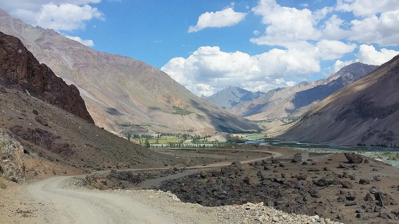
Gilgit to Phander is about 170 km by road, west up the Ghizer valley on the Gilgit–Shandur road through Gahkuch and Gupis. Allow five to six hours with short stops. Fill the tank in Gilgit or Gahkuch, because fuel further up is hard to rely on. The road is a narrow, mostly sealed single lane that a car in good condition can manage in summer, but floods damaged it in both 2025 and 2026, so check it before you set off.
This guide breaks the drive into stages, explains where to stop for fuel and food, and describes the road as it is now.
| At a glance | |
|---|---|
| Distance | About 170 km |
| Driving time | 5 to 6 hours with short stops |
| Road | Gilgit–Shandur road (N-140), single lane, mostly sealed |
| Main towns on the way | Gahkuch, about 70 km; Gupis, about 113 km |
| Fuel | Gilgit or Gahkuch; don't count on fuel further up |
| Vehicle | A car in good condition in summer; high clearance beyond Phander |
| Riskiest months | July and August, for floods and landslides |
| Altitude | Gilgit about 1,500 m; Phander about 2,900 m |
How long does the drive take?
These are realistic times for a car in dry weather, with a short stop at each town. Vans and heavily loaded vehicles take longer.
| Stage | Distance from Gilgit | Time for the stage |
|---|---|---|
| Gilgit to Gahkuch | About 70 km | About 2 hours |
| Gahkuch to Gupis | About 113 km | 1 to 1.5 hours |
| Gupis to Khalti Lake | About 122 km | 15 to 20 minutes |
| Khalti Lake to Phander | About 170 km | 1.5 to 2 hours |
That is roughly five hours of driving, and five to six once you add tea, a meal and a stop at Khalti. The average speed is low, often 30 to 40 km an hour, because the road is narrow and winding, and you share it with trucks, tractors, vans and livestock.
Leave Gilgit by eight in the morning. That puts you in Phander by mid-afternoon, with time for the lake before the light goes, and keeps you off the road after dark.
The drive, stop by stop
- Gilgit. Fill the tank, buy water and snacks, and take out enough cash for the whole trip. Gilgit is the last place with a full choice of banks and shops.
- The Punial villages. The road follows the river west through a string of villages such as Singal and Sherqila, with orchards and fields between the bare slopes.
- Gahkuch, after about two hours. The district headquarters of Ghizer and the last sizeable bazaar on the road. Top up with fuel here even if the tank is half full, and stop for tea or an early lunch.
- Gahkuch to Gupis. The valley narrows and the road climbs gently. This is the stretch damaged by the floods of the last two summers (see below), so expect patched sections and diversions around Yangal and Raushan.
- Gupis, after three to three and a half hours. A small town with a bazaar and Gupis Fort, and the junction for the Yasin valley to the north.
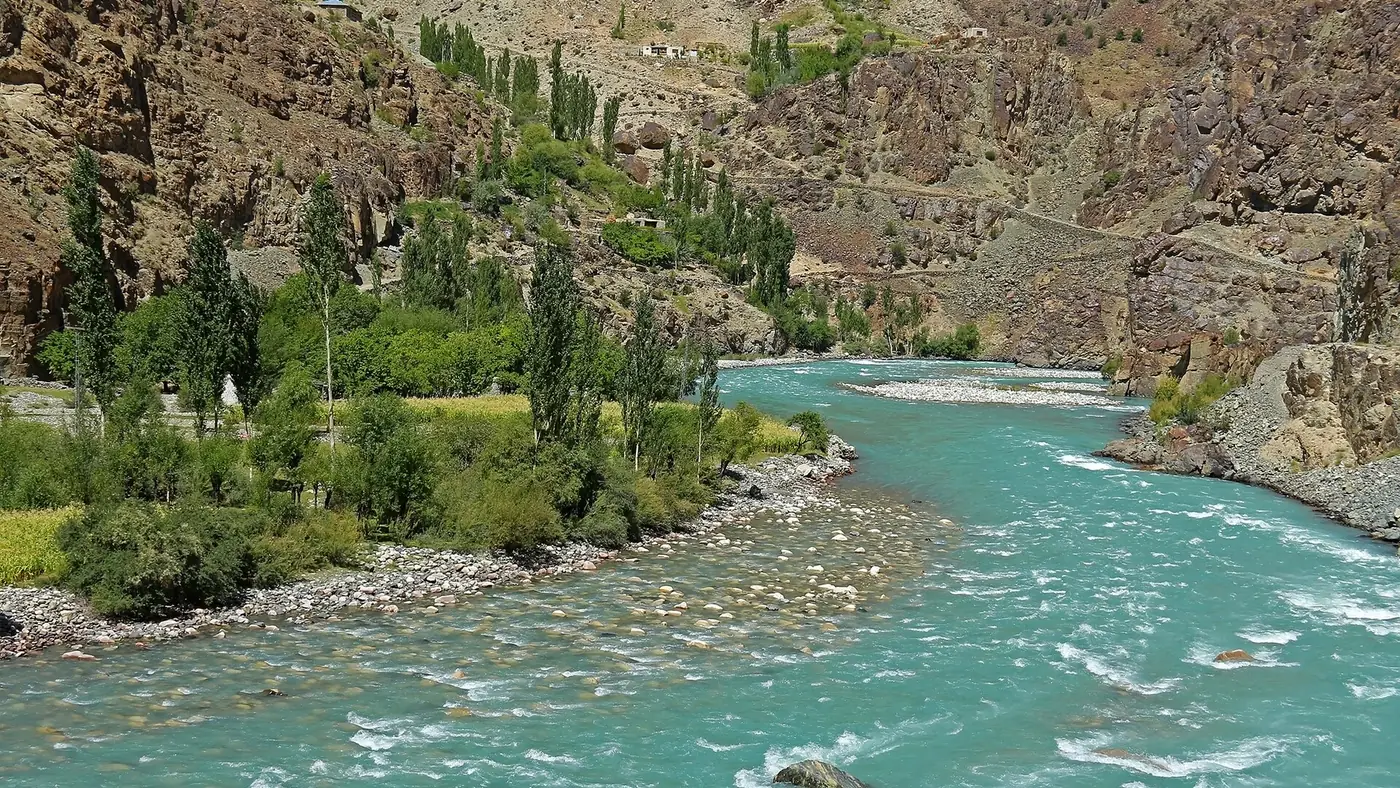
- Khalti Lake, a few kilometres on. The road runs right along the shore. It is the natural place for a break and photographs; our Khalti Lake guide covers it.
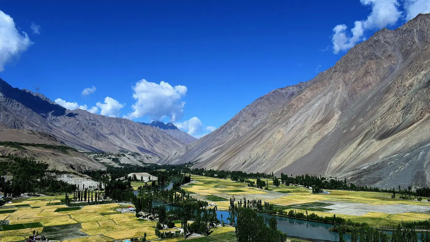
- Phander. The last part climbs steadily through small villages until the valley opens out around Phander Lake. Our Phander valley guide covers the lake, the trout and where to stay.
Fuel, cash and food
Fuel. Gilgit has plenty of pumps and Gahkuch has fuel too. Beyond Gahkuch, pumps are sparse and supply is unreliable, so leave Gahkuch with a full tank. If you plan to carry on over the Shandur Pass, you should not count on fuel again until Booni, on the Chitral side.
Cash. Take enough from Gilgit for fuel, rooms and meals for the whole trip. Card payment is rare in the valley, and you should not rely on finding a working ATM further up.
Food. Gahkuch and Gupis have simple restaurants and tea stalls along the road. Hotels around Khalti and Phander serve trout, often from farms. Carry water and snacks in the car anyway, in case a slide or roadworks hold you up for a few hours.
What is the road like?
The Gilgit–Shandur road has been part of national highway N-140 since 2020, maintained by the National Highway Authority. In the NHA's own survey the section from Gilgit to Phander was a single-lane surfaced road about 3.65 metres wide, and that is still what you drive on. The authority has studied widening it to two lanes, but that has not happened yet.
In practice that means:
- One lane for two directions. On blind bends, slow down and sound the horn; when you meet a truck, one of you reverses to a wider spot, and it is usually the car.
- A mostly sealed surface, patched and broken in places.
- Rockfall and small slides, especially after rain. Keep an eye on the slope above, and don't stop under loose ground.
- Villages, children and animals on the road. Drive slowly through every settlement.
- No lighting at night. Plan to arrive before dark.
Beyond Phander, towards Teru and the Shandur Pass, the road gets narrower and rougher, with unsealed stretches. Our guide to the drive from Gilgit to Shandur covers that section and the crossing to Chitral.
Floods and closures: what happened in 2025 and 2026
The biggest risk on this road is water, not traffic. In the last two summers:
- August 2025. A glacial lake outburst at Talidas, near Raushan below Gupis, blocked the Ghizer river and created an artificial lake that put about 5 km of the road under water. Gupis, Phander and Yasin were cut off for five days, and two critically ill patients had to be flown out by helicopter, while the NHA built a way round.
- July 2026. Floods washed away a bridge at Yangal, at kilometre 98 between Gahkuch and Gupis. The NHA built an alternate route and announced on 24 July that the road was open to all traffic, while repair work continued at other points along it.
So when you drive it, expect diversions, temporary crossings and fresh repairs on the stretch between Gahkuch and Khalti. Before setting off in July or August, ask at your hotel in Gilgit or check local news for the state of the road that day. Our travel guide has general advice on roads and weather in the north.
Can a normal car make it to Phander?
Yes, in summer, if the car is in good condition and the driver is comfortable on narrow mountain roads. Before you go:
- Check the brakes, tyres and spare, and carry a jack that works.
- Load the car lightly; low ground clearance and a heavy boot don't mix on patched roads.
- Drive the first hour slowly to get a feel for the road.
A high-clearance vehicle is more comfortable on the broken sections and much better if you plan to go beyond Phander to Shandur. In winter, the road to Phander is used by local people, but ice and snow make it a job for a local driver who knows it.
Driving yourself or hiring a driver
If you drove your own car up from Islamabad, you can take it on to Phander, but after two long days on the Karakoram Highway a local driver is worth considering. Drivers from Gilgit know where the road has been repaired, where the fresh slides are, and which hotels are open. Our guide to hiring a car with a driver for the northern areas explains how that works and what to agree beforehand.
Local shared vans also run up the valley from Gilgit, mostly early in the day. They are cheap, slow and crowded, and times change, so ask in Gilgit the day before.
Is Phander too far for a short trip?
For a trip of a week or less that also covers Hunza, usually yes. Phander takes most of a day to reach and most of a day to leave, so it needs at least two nights to be worth it, and three is better.
If you have only one spare day from Gilgit, drive as far as Khalti Lake and Gupis instead: three to four hours each way, with the best-known lake of the lower valley on the road. If you have three or four days, Phander is the right goal, and it can become the first night of a crossing over Shandur. For help fitting it into a longer route, with the driving hours worked out, use our trip planning page.
Frequently asked questions
How far is Phander from Gilgit?
About 170 km by the Gilgit–Shandur road, through Gahkuch and Gupis. You may see figures up to 184 km quoted, depending on where they are measured from.
How many hours does it take from Gilgit to Phander?
Five to six hours with short stops, in dry weather. Allow longer in July and August, when floods and repairs can slow the road.
Where is the last petrol pump before Phander?
Fill up in Gilgit or Gahkuch. Beyond Gahkuch, pumps are few and unreliable, so leave with a full tank.
Is the road from Gilgit to Phander paved?
Mostly, as a single-lane sealed road with broken and patched sections. Beyond Phander, towards Shandur, it becomes rougher, with unsealed stretches.
Can I go from Gilgit to Phander and back in one day?
Not sensibly. It means ten to twelve hours on a narrow road for a short time at the lake. Stay at least one night, or go only as far as Khalti Lake for a day trip.
Is the road to Phander open in winter?
Phander is lived in all year, and the road is used in winter, but ice, snow and short days make it hard going, and most guesthouses close. Travel then only with a local driver and a confirmed room.