No. Civilians cannot visit the Siachen Glacier from Pakistan. It lies inside a militarised zone that the Pakistan and Indian armies have held since 1984, and there has never been a civilian route, permit or tour operator offering access to it from the Pakistani side. The nearest places a traveller can actually reach are the Hushe valley and the K2 trekking routes in Ghanche and Baltistan, both still a mountain range away from the glacier itself.
This guide covers why the area is closed, where the current front line runs, and what is realistic to see instead if Siachen is what drew you to Ghanche in the first place.
| At a glance | |
|---|---|
| Civilian access from Pakistan | None; a closed military zone |
| Status | Ceasefire since 2003, but both armies remain deployed |
| Nearest place travellers can reach | Hushe valley, Khaplu and the Baltoro/K2 trekking routes |
| Permits for Siachen itself | Not applicable — there is no civilian route |
| What tourists mean when they ask this | Usually confusion with India's own tourist base camp on its side of the line |
Why Siachen is closed to civilians
Siachen sits in the Karakoram, north-east of the Baltoro glacier and K2, on ground that both Pakistan and India claim. It saw no permanent military presence until 1984, when Indian troops occupied the passes above it and Pakistan moved to counter them. Fighting continued for years at altitudes above 6,000 metres, in what became known as the world's highest battlefield, before a ceasefire took hold in November 2003.
The ceasefire ended the shooting but not the deployment. Both armies still keep troops and posts along the line, at real cost in lives lost to avalanche, cold and altitude rather than combat. In April 2012 an avalanche buried the Pakistan Army's post at Gayari, at around 4,000 metres on the approach to the glacier, killing all 140 soldiers and civilian workers there. That scale of loss is a fair sense of what kind of ground this still is: a forward military position, not a place with any tourist infrastructure.
Where the front line runs now
India holds the Siachen Glacier itself and the passes of the Saltoro Ridge above it. Pakistan holds positions on the lower, western side of that ridge, looking up at ground it does not control. Reports put roughly 3,000 troops from each side permanently stationed along the line, at a combined cost of several hundred million dollars a year to keep supplied.
None of this runs through territory a civilian can drive or walk into. The approach from the Pakistani side is entirely inside army-controlled ground, with no public road, checkpoint or booking process for a visitor to use, unlike the well-defined park and NOC systems that cover other parts of Gilgit-Baltistan.
What about visiting from the Indian side?
India has, in recent years, opened a tourist facility near its own Siachen Base Camp in Ladakh, at around 3,600 metres, and allows visits there without a special army permit. That has nothing to do with travel from Pakistan: it is on the other side of the Line of Control and the Saltoro Ridge, reached from Leh with an Indian visa, and there is no crossing point between the two. If you have seen references to "Siachen tourism" online, this Indian base camp facility is almost always what is being described.
What you can actually reach in Ghanche
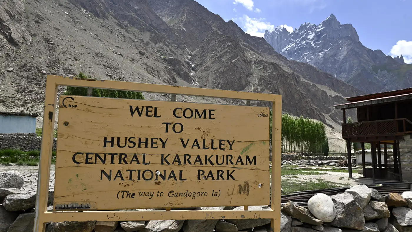
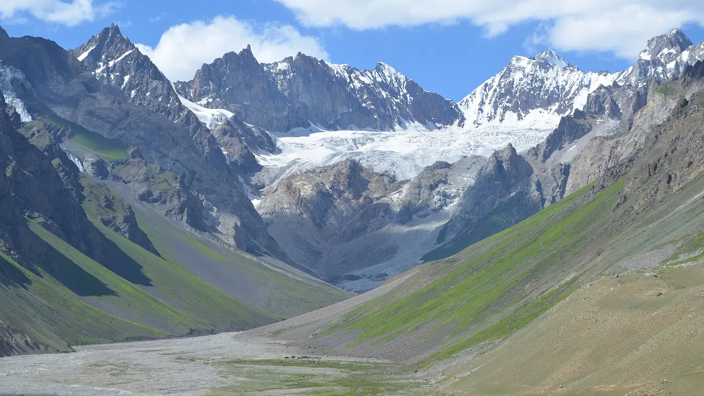
The realistic version of a Siachen-adjacent trip is the country around it, not the glacier itself. From Khaplu, the Hushe valley runs north to the foot of Masherbrum and is the normal approach for treks towards the Gondogoro La and the Baltoro side of the range. Further west, the K2 base camp trek and the Gondogoro La trek put you among the same peaks, on ground that is genuinely open to trekkers with the right permits and a registered operator.
None of these routes gets you within sight of Siachen. They sit on the far, western side of the Karakoram watershed from it, separated by glaciated terrain that only military units cross. Treat them as a different, achievable trip rather than a way around the closure.
Is it worth planning a trip around?
Not as a destination in itself. If Siachen is the reason you are looking at Ghanche, redirect that interest towards what the district actually offers: Khaplu's palace and mosque, the drive up the Shyok, and the Hushe valley's views of Masherbrum, all reachable by ordinary means from Skardu. Our travel guide covers permits and planning for the wider region, and it is a better starting point than chasing access that does not exist.
Frequently asked questions
Can Pakistani tourists visit Siachen Glacier?
No. There is no civilian access to Siachen from Pakistan. The area is a military zone controlled by the Pakistan Army on its side of the line, with no tourist route, permit or facility.
Is Siachen Glacier open to tourists at all?
Only in the limited sense that India has opened a tourist facility near its own base camp on the Indian-held side, reached from Ladakh. That is unrelated to travel through Pakistan and requires an Indian visa and entry through Leh.
How close can you get to Siachen from Gilgit-Baltistan?
The nearest places open to travellers are the Hushe valley and the K2 base camp and Gondogoro La trekking routes in Ghanche and Baltistan, which lie on the opposite side of the Karakoram watershed and give no view of the glacier itself.
Is the Siachen conflict still active?
A ceasefire has held since November 2003, but both armies remain deployed along the line in large numbers, and the area is still treated as an active military zone rather than a settled border.
Why do people confuse Siachen with places like Hushe or K2 base camp?
Because they sit in the same broad range of the Karakoram and get mentioned together in trekking and mountaineering writing. Geographically and administratively they are separate: Hushe and the K2 routes are open trekking areas, and Siachen is not.