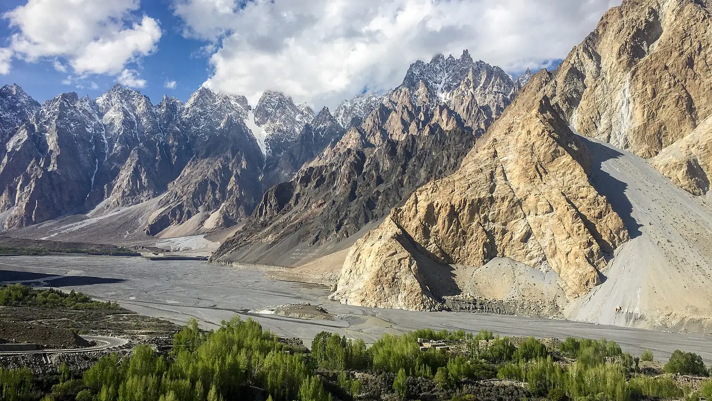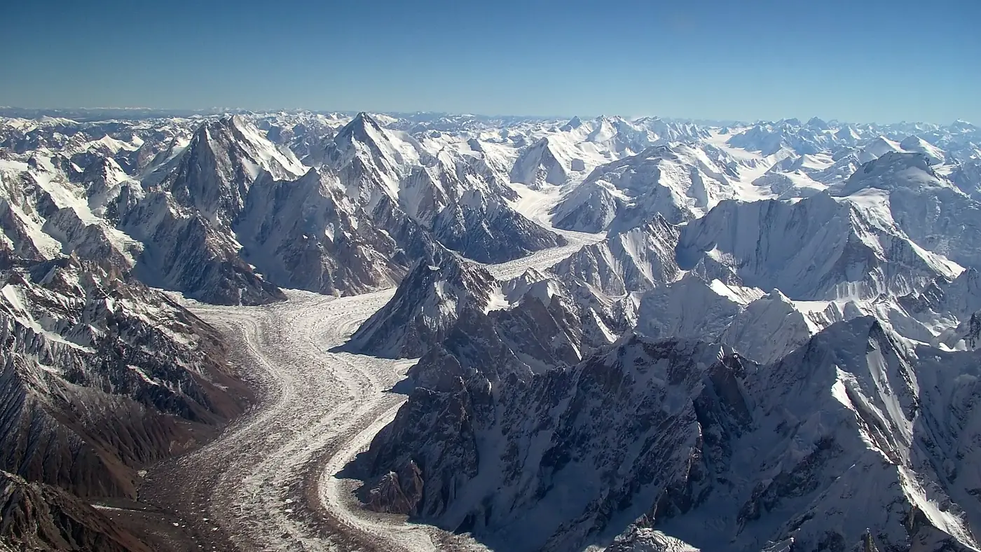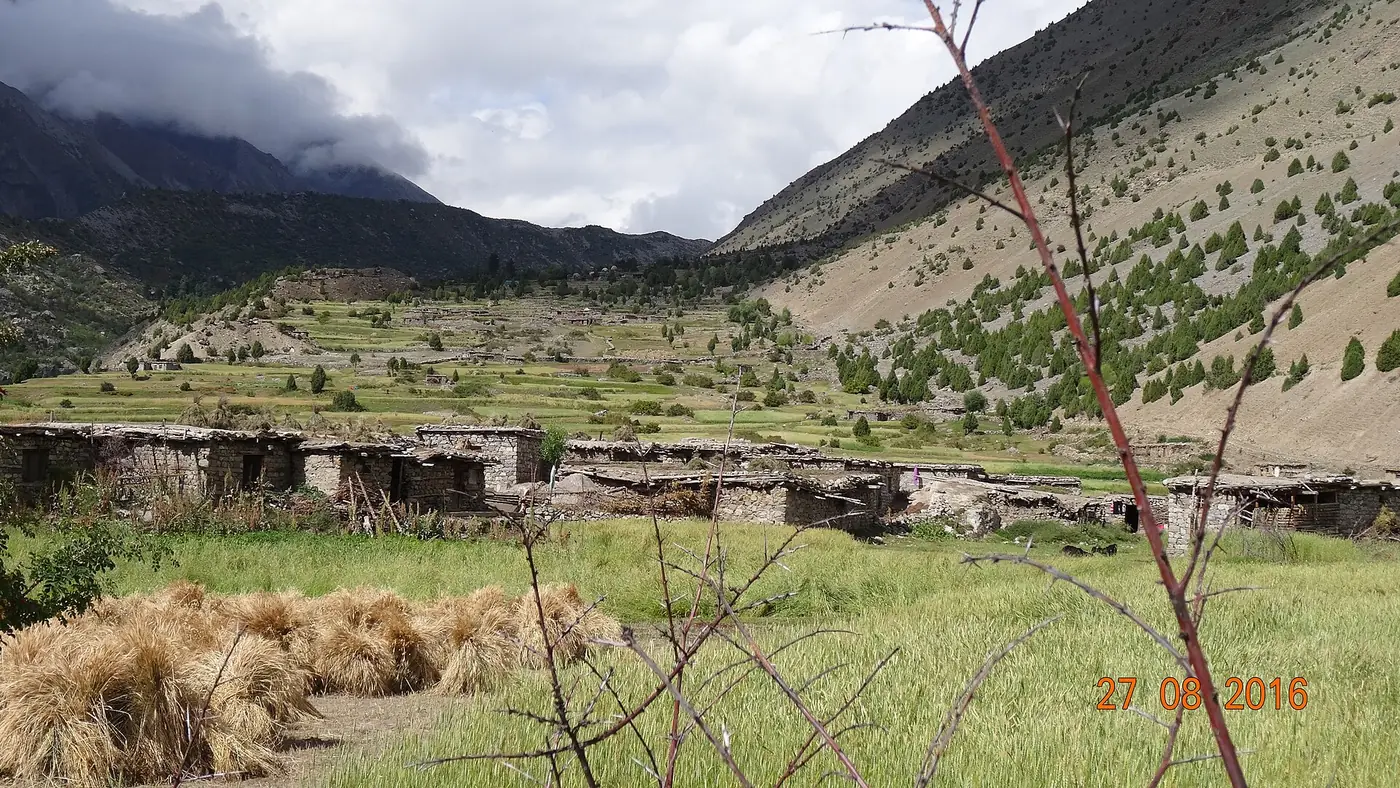
The Rupal Face trek is a short, high-altitude walk from Tarishing, in the Rupal valley near Astore, up to Herrligkoffer base camp at around 3,550 metres, with the option of a further night at Latobo higher up the Bazhin glacier. It is one of the more accessible ways to stand close beneath Nanga Parbat's south face, the largest continuous mountain wall in the world, without any technical climbing.
| At a glance | |
|---|---|
| Start | Tarishing, Rupal valley, Astore |
| Herrligkoffer base camp | About 3,550 m, roughly 10 km from Tarishing |
| Latobo | A further stage above base camp, on the Bazhin glacier margin |
| Days | 2 to 3, plus the road to Tarishing |
| Difficulty | Moderate: a long, steady climb, no technical skills needed |
| Season | June to September |
What the Rupal Face is
The Rupal Face is the south face of Nanga Parbat, the 8,126-metre mountain that forms the western end of the Himalaya in Gilgit-Baltistan. From the floor of the Rupal valley, at around 3,500 metres, the face climbs in one continuous wall to the summit, a rise of about 4,600 metres, and it is often called the highest mountain face on earth. It was first climbed in 1970 by Reinhold and Günther Messner, on an expedition led by Karl Herrligkoffer, after whom the base camp below it is named. Günther died in an avalanche during the descent, and the climb remains one of the defining stories in Himalayan mountaineering. Our Rupal valley guide covers the drive to Tarishing and what a shorter visit without the trek looks like.
The route from Tarishing
The trek begins at Tarishing, the last village in the Rupal valley, reached by jeep road from Astore town. From there the path climbs steadily up the true right side of the valley, gaining height gradually rather than in one steep push, with the Rupal Face visible ahead for most of the walk once the trail clears the village's fields and orchards.
- Tarishing to Herrligkoffer base camp. A climb of roughly 10 km, taking about five to six hours, ending at a wide meadow on the eastern margin of the Bazhin glacier at around 3,550 metres, with the Rupal Face rising directly above.
- Herrligkoffer base camp to Latobo. A shorter stage of a few kilometres, three to four hours, following the glacier margin higher for a closer, more open view of the face and the mountain's upper ridges.
- Return to Tarishing. Most groups walk back down over one long day, retracing the same path.
Camping is at Herrligkoffer base camp and, for those going further, at Latobo. There are no lodges on this route, so the trek needs tents, sleeping bags and a cook set, arranged through a local guide or trekking outfit in Astore or Tarishing.
How hard is it?
This is a moderate trek rather than a difficult one. The trail is a clear path rather than pathless glacier travel, there is no technical climbing or roped glacier crossing, and the distances each day are short by Karakoram trekking standards. The challenge is altitude and a sustained uphill grind rather than technical difficulty: Herrligkoffer base camp is more than 600 metres above Tarishing, gained in a single day, so a reasonable level of fitness and some acclimatisation before setting out matters more than any particular skill.
Weather on the Rupal side can change quickly, and the face itself is prone to avalanche activity, which is one reason groups keep well back from the base of the wall rather than approaching it directly.
When to go
June to September is the working season, the same window as most other Gilgit-Baltistan treks; our trekking season guide covers how this compares across the region. July and August give the most stable weather and the clearest views of the face; June can still have snow on the higher ground around Latobo.
Is it worth it?
For anyone who wants to see the Rupal Face properly, rather than from a distance in the valley, yes. It is a short, moderate trek by regional standards, doable in two to three days including the walk back, and it puts you directly beneath one of the most written-about mountain walls in climbing history. Compared with the much longer Nanga Parbat base camp trek from Fairy Meadows, which approaches the mountain's other side, the Rupal Face trek is shorter and less demanding, but it needs the separate drive to Astore and Tarishing rather than the Fairy Meadows jeep track.
Frequently asked questions
How many days does the Rupal Face trek take?
Two to three days of walking from Tarishing: one day up to Herrligkoffer base camp, an optional day further to Latobo, and a day back down, on top of the road journey to Tarishing itself.
How high is Herrligkoffer base camp?
Around 3,550 metres, on a meadow beside the Bazhin glacier directly below the Rupal Face.
Do I need a guide for the Rupal Face trek?
It is not technical, but the trail, camping and glacier margins are best handled with a local guide from Astore or Tarishing, who also arranges tents and cooking gear since there is no accommodation on the route.
Is the Rupal Face trek harder than the Fairy Meadows Nanga Parbat trek?
No, it is generally shorter and less demanding than the trek to Nanga Parbat base camp from Fairy Meadows, though both need a reasonable level of fitness and care with altitude.
When is the best time for the Rupal Face trek?
July and August, when the weather is most stable and the snow on the higher ground has retreated. June and September are possible but colder and less predictable.