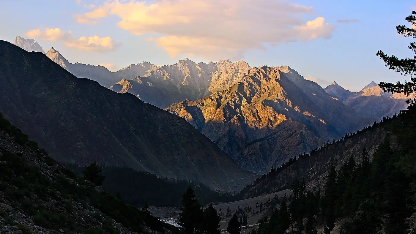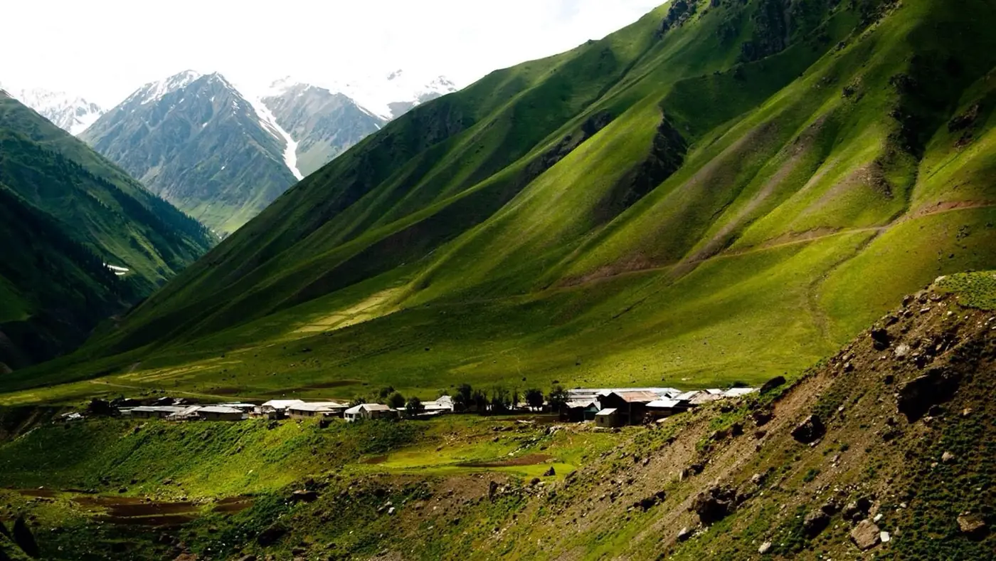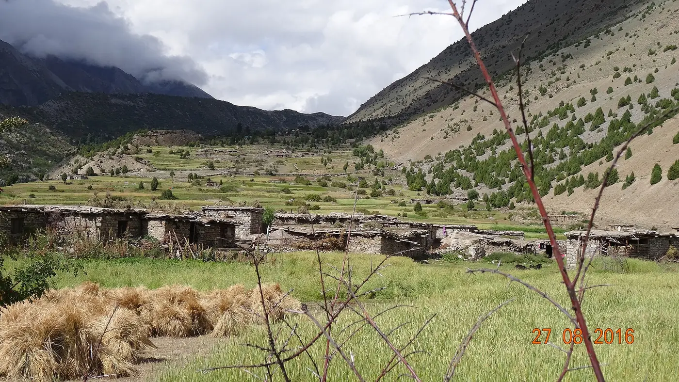
The Rupal valley runs west from the Astore valley to the foot of Nanga Parbat's south face, the Rupal Face, which rises about 4,600 metres from its base to the 8,126-metre summit and is often called the highest mountain face in the world. A jeep road from Astore town reaches Tarishing, the last village, at about 2,900 metres, in around two hours. From there you can see the face from short walks around the village, and a fit walker can reach the Herrligkoffer base camp meadow and back in a long day.
You don't need to be a trekker to see the Rupal Face. This guide covers getting to Tarishing, where to stay, the walks from the village, and what the valley is like for families and first-timers.
| At a glance | |
|---|---|
| Where | South side of Nanga Parbat, Astore district |
| Tarishing village | About 2,900 m, the end of the jeep road |
| From Astore town | About 42 km, around 2 hours by jeep |
| Rupal Face | About 4,600 m high, from the valley to the summit |
| Herrligkoffer base camp | About 3,550 m; around 5 hours' walk from Tarishing |
| Permits | None needed for the walks described here |
| Best months | June to September; October for clear views |
Where is the Rupal valley?
Nanga Parbat has three great faces. The Raikot Face looks north over Fairy Meadows, the Diamir Face looks west, and the Rupal Face looks south over the Rupal valley. The Rupal side sees far fewer visitors than Fairy Meadows and is, for many people, the most overwhelming of the three: a single wall of rock and ice rising about 4,600 metres from its foot.
The valley is in Astore district, off the Astore valley. You reach it from Astore town by driving south to Gorikot and turning west up the Rupal river. The villages along it are small farming settlements with fields and summer pastures, and Tarishing is the last of them on the road.
Getting to Tarishing
- Reach Astore town. From Islamabad this is two days on the road, or a flight to Gilgit and about four hours' drive. Our guide to driving from Islamabad to Astore has the details.
- Astore to Gorikot. A short drive south, up the main valley.
- Gorikot to Tarishing. From Gorikot an unpaved road climbs west up the Rupal valley through the villages. It is rough and narrow in places, and a jeep is the sensible choice. The whole drive from Astore takes around two hours.
Local jeeps can be hired in Astore town, either for a return day trip or to drop you in Tarishing and collect you later. Agree the price, the waiting time and the return day before you set off. Beyond Tarishing a rougher track continues some way up the valley towards the upper Rupal settlement, and some jeeps use it to shorten the walk to the base camp.
Staying in Tarishing
Tarishing is a small village of a couple of hundred people, and its accommodation is simple: a few small hotels and guesthouses, some with space to pitch a tent in the garden. Rooms are basic, so ask about hot water and meals when you book. It is enough for a night or two, and the setting under the face makes up for a lot.
There is at least one place to stay in Rupal village further up, and trekkers camp at the meadows higher in the valley. In July and August, or if you want a particular room, arrange it through your hotel or jeep driver in Astore before you drive up.
Staying the night is worth it: the face is usually clearest early in the morning, and a day trip from Astore gets you there around midday, when cloud often builds.
Short walks from Tarishing
These are the walks that let you see the Rupal Face without committing to a trek. None needs a permit, but ask in the village about the state of the path before you set off.
Around the village and up the moraine
A large glacier comes down beside Tarishing, and a short climb onto its moraine above the village gives the classic view up the valley: the glacier below you and the whole Rupal Face filling the head of the valley. Allow an hour or two, walk slowly, and go in the early morning for the best chance of a clear summit.
This is the one for a single morning, or with children or older parents: the height gain is small and you can turn back at any point.
Tarishing to Rupal village
A path crosses the glacier and continues up the valley through the fields of Rupal village. Allow about two to two and a half hours each way at an easy pace. The face gets steadily closer, and the village, with its summer fields, is worth seeing in its own right.
The glacier crossing is short but uneven and loose underfoot. Wear proper walking shoes and take the path the locals use.
A long day to Herrligkoffer base camp
The Herrligkoffer base camp is a broad meadow at about 3,550 metres at the foot of the face, used as base camp by expeditions climbing the Rupal side. It is named after Karl Herrligkoffer, the German doctor who organised a string of Nanga Parbat expeditions, including the 1970 climb on which Reinhold and Günther Messner made the first ascent of the Rupal Face.
On foot from Tarishing it is about 10 km and around five hours up, gaining roughly 650 metres, so the return in one day is a long, tiring walk of nine or ten hours. If a jeep can take you up the track towards the upper Rupal settlement, the walk from the end of the track is less than two hours. Either way, start at first light, carry food and warm layers, and turn back in time to be off the glacier before dark.
This walk suits fit adults who are used to hills. It is not one for young children, or for anyone who arrived in Astore the day before and has not yet adjusted to the altitude. Our travel guide has more on altitude in the north.
Going further
Beyond the base camp the valley continues to the Bazhin glacier, the Latobo meadow and the high pastures under the face, and a network of longer treks starts from here, including the routes towards the Mazeno Pass. Those are multi-day treks with a guide and full camping gear.
When to go to the Rupal valley
June to September is the season. The jeep road is open, the fields in Tarishing and Rupal village are green, and the paths are free of snow. July and August are the warmest and busiest months.
October often has the clearest air and the sharpest views of the face, with the fields turned golden, but nights are cold and the higher walks can have fresh snow.
From November to May snow makes the road to Tarishing unreliable and the walks impractical for visitors. Our guide to the best time to visit Astore valley covers how Rupal fits alongside Rama, Minimarg and Deosai.
Rupal or Fairy Meadows?
Both are ways to see Nanga Parbat close up, and they suit different trips.
Fairy Meadows looks at the Raikot Face from a forest meadow with more hotels and more company. It needs a long jeep ride on an exposed track and a walk of two hours or more to reach it, and it is the busier of the two.
Rupal is quieter, and the face towers directly over the valley. You can drive to the end of the road, the walks start at the door, and there are far fewer people. The trade-off is simpler accommodation, a longer journey to get there, and a place that makes most sense if you are spending a few days in the Astore valley anyway.
Who the Rupal valley suits
Photographers, and anyone who wants to see Nanga Parbat's biggest face without the crowds, will find Rupal hard to beat.
It is also more family-friendly than it sounds. The drive ends in the village, the altitude at Tarishing is moderate, and the moraine walk is short. Pair it with a night at Rama Meadows and you have seen two sides of the massif from Astore.
It suits you less if you want comfortable hotels, or if you have only a few days in the north; the round trip from Islamabad is at least five days for a proper look. Our list of places to visit in Astore valley shows how Rupal fits with the rest of the valley, and if you would like a trip planned around it, send us your dates on our trip planning page.
Frequently asked questions
Where is the Rupal valley?
In Astore district, Gilgit-Baltistan, on the south side of Nanga Parbat. You reach it from Astore town via Gorikot, about two hours by jeep to Tarishing.
What is the Rupal Face?
The south face of Nanga Parbat, which rises about 4,600 metres from its base to the 8,126-metre summit. It is often described as the highest mountain face in the world.
Can you see Nanga Parbat from Tarishing?
Yes, on a clear day. The best view is from the moraine just above the village, early in the morning before cloud builds over the summit.
Do you need a permit for the Rupal valley?
No permit is needed to visit Tarishing or for the walks to Rupal village and Herrligkoffer base camp. Carry your CNIC, or your passport and visa if you are a foreign national.
Can you do Herrligkoffer base camp as a day hike?
Yes, if you are fit. It is about five hours up on foot from Tarishing, so the round trip is a nine- or ten-hour day, or shorter if a jeep can take you part of the way up the track.
Can a normal car reach Tarishing?
It is not advisable. The road from Gorikot is unpaved and rough, and a jeep hired in Astore is the practical choice.