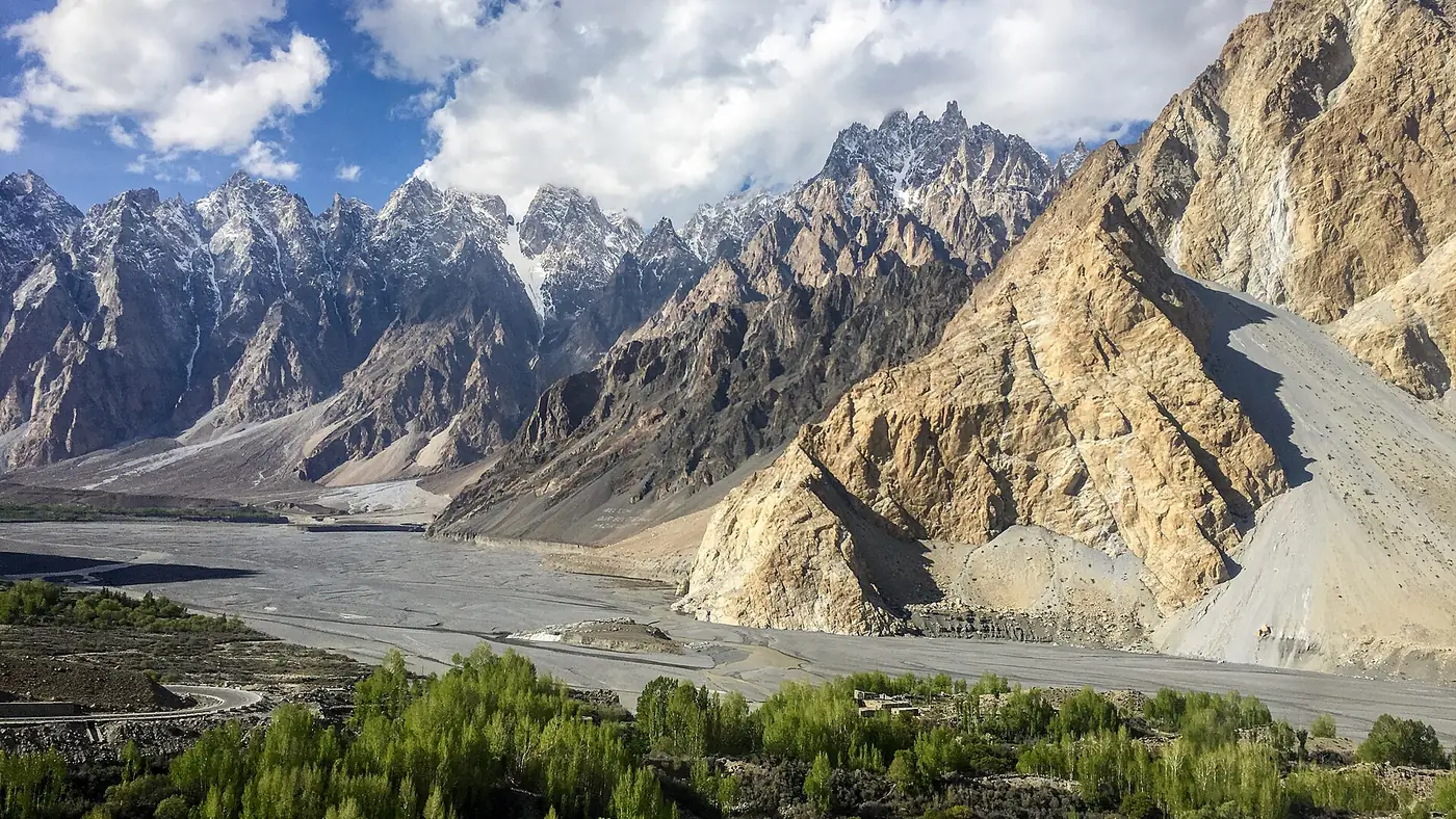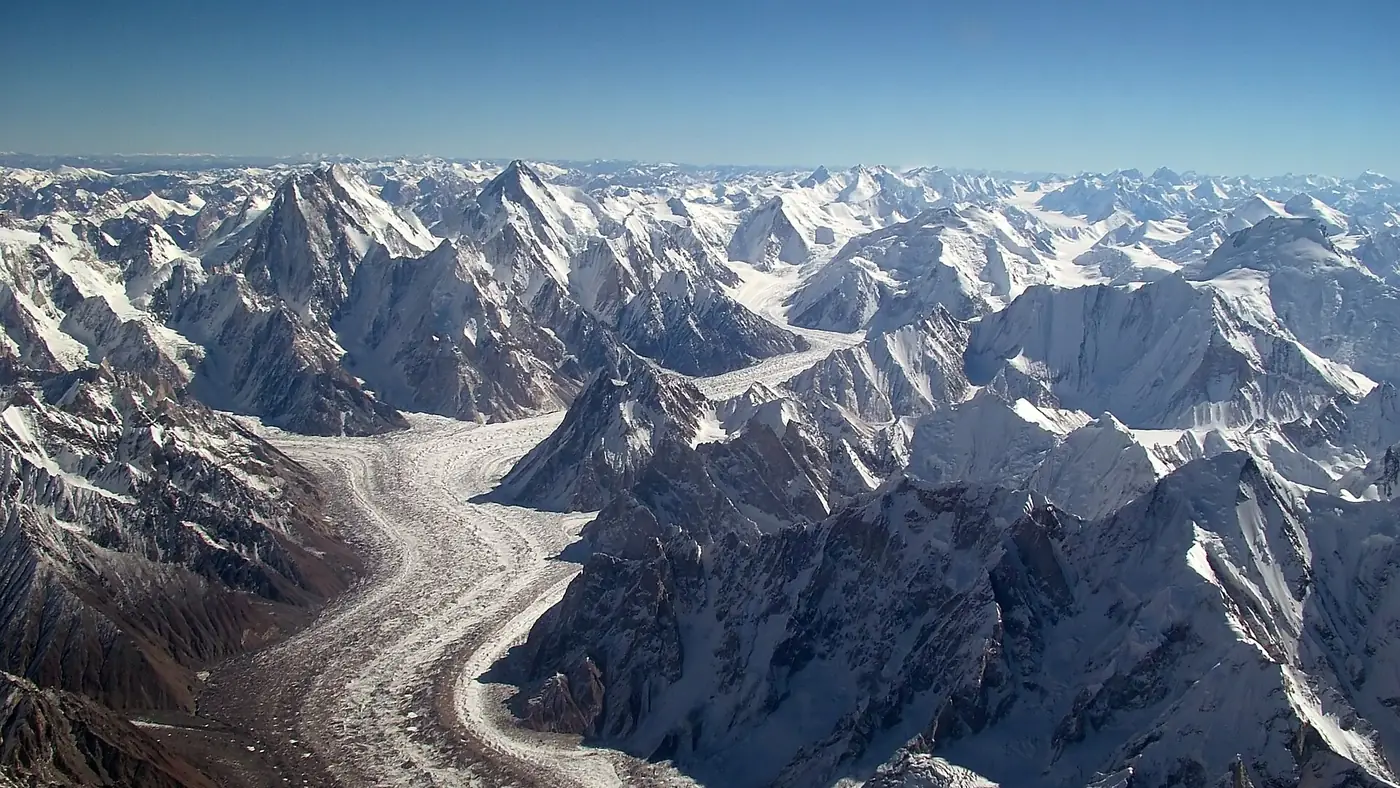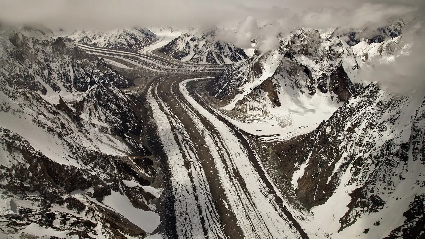
Muztagh Tower is a 7,276-metre granite spire in the Baltoro Muztagh, the section of the Karakoram that also holds K2, standing near the Pakistan-China border above the upper Baltoro glacier. It is one of the most photographed peaks on the K2 base camp trek, not for its height, which is modest by Karakoram standards, but for its shape: a narrow, near-vertical tower that looks almost too steep to climb, made famous by a single photograph taken in 1909, decades before anyone reached its summit.
This guide covers the mountain's facts, the 1956 race for its first ascent, and where you see it on the trek to K2. Our Baltoro glacier guide covers the wider route and its other peaks.
| At a glance | |
|---|---|
| Height | 7,276 m |
| Range | Baltoro Muztagh, Karakoram |
| Location | Between the Baltoro and Sarpo Laggo glacier basins, near the Pakistan-China border |
| First photographed | 1909, by Vittorio Sella |
| First ascent | 6 July 1956, British team |
| Second ascent | 11 July 1956, French team, five days later |
| Seen from | The upper Baltoro glacier, between Urdukas and Concordia |
Where is Muztagh Tower?
Muztagh Tower stands in the Baltoro Muztagh, the Karakoram subrange that includes K2 itself, on the watershed between the basins of the Baltoro glacier in Pakistan and the Sarpo Laggo glacier across the border in China. It rises directly above the Baltoro, the glacier that carries almost every trekker heading to K2 base camp and Concordia.
At 7,276 metres it is far from the tallest peak in the area, dwarfed by K2 at 8,611 metres and Gasherbrum IV at 7,925 metres nearby. What sets it apart is its form: a slender, twin-summited tower with walls close to vertical on more than one side, rising with almost no easy ground anywhere on it.
The photograph that made it famous
In 1909, the Italian photographer Vittorio Sella, travelling with the Duke of the Abruzzi's expedition towards K2, photographed Muztagh Tower from a vantage point on the upper Baltoro to the mountain's south-east. From that angle its two summits appeared to align into a single, impossibly slender spire.
Sella's image circulated for decades among mountaineers as one of the most striking mountain photographs ever taken, and it was still inspiring climbers when, in 1956, two separate expeditions arrived within days of each other to attempt the first ascent, each unaware the other was on the mountain until they spotted one another near the top.
The 1956 first ascent
On 6 July 1956, a British team led by John Hartog made the first ascent via the north-west ridge, approaching from the Chogolisa side. The climbing party included Joe Brown and Ian McNaught-Davis, both well known British climbers of the era, along with Tom Patey.
Five days later, on 11 July, a French team of Guido Magnone, Robert Paragot, André Contamine and Paul Keller reached the summit from the opposite, eastern side, becoming the second ascent within the same week. Neither team knew of the other's attempt until they were already high on the mountain, a coincidence that became part of the peak's story as much as the first ascent itself.
Where you see it on the trek
Muztagh Tower comes into view on the upper stretches of the Baltoro glacier, roughly between Urdukas and Concordia, standing out to the north among the granite spires and ice peaks that line the route to K2. It is a genuinely arresting sight from the glacier itself, closer to the angle Sella photographed it from than most images taken today.
It is not visible from Askole, Paiju or the lower glacier, and there is no way to see it without trekking well up the Baltoro; like the rest of the upper glacier, this section lies inside the Central Karakoram National Park and needs a trekking permit. Our K2 base camp trek guide covers the stages where the big peaks, including Muztagh Tower, come into view.
Frequently asked questions
How tall is Muztagh Tower?
7,276 metres, in the Baltoro Muztagh section of the Karakoram, near the border with China.
Who first climbed Muztagh Tower?
A British team led by John Hartog, including Joe Brown, Ian McNaught-Davis and Tom Patey, on 6 July 1956. A French team reached the summit from the other side five days later, on 11 July.
Why is Muztagh Tower famous?
Partly for its shape, a narrow, near-vertical granite spire, and partly for a 1909 photograph by Vittorio Sella that made it one of the most recognised mountain images before anyone had climbed it.
Where can you see Muztagh Tower?
From the upper Baltoro glacier, roughly between the Urdukas and Concordia camps on the K2 base camp trek. It is not visible from Askole or the lower valley.
Can you climb Muztagh Tower today?
It remains a serious technical climb attempted by experienced mountaineers with a permit and an expedition team, not a trekking peak. It is well beyond the scope of the standard K2 base camp trek.