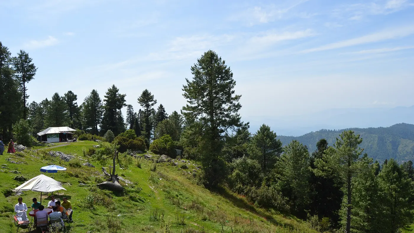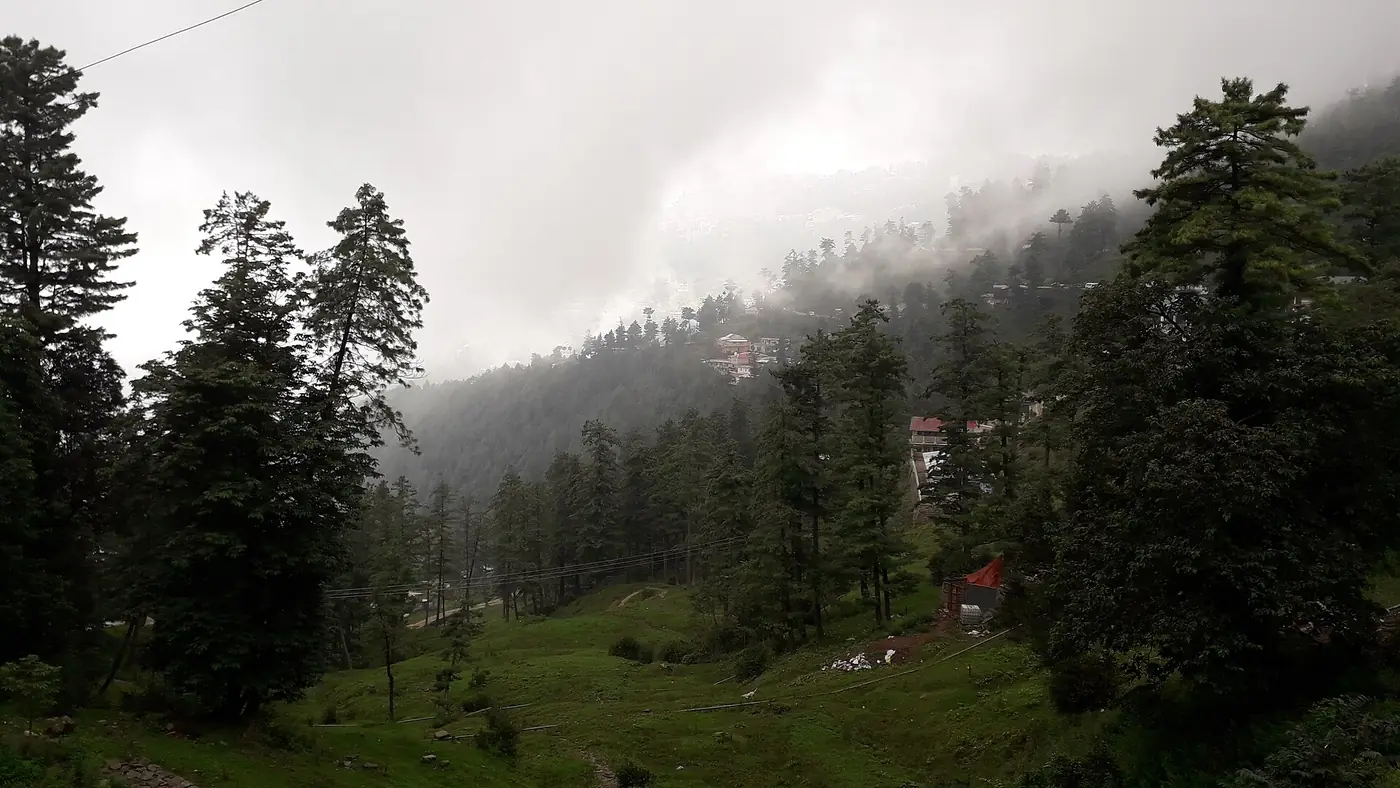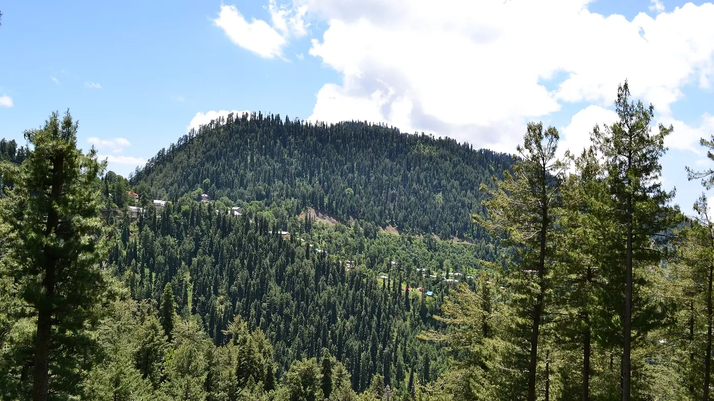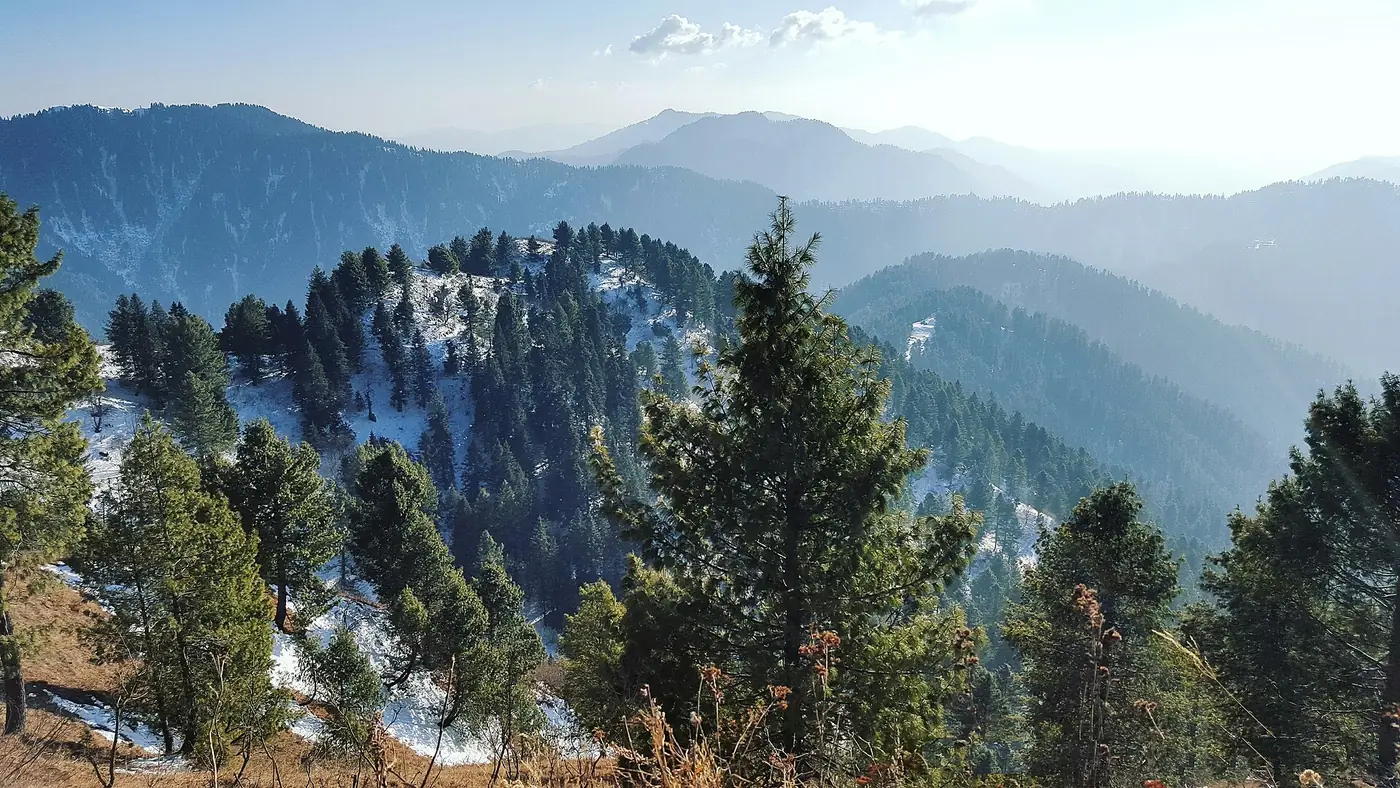
The Miranjani Top hike starts in Nathia Gali, on the road past St Matthew's Church towards the Governor House, and climbs about 600 metres over roughly 5 km of forest trail to the highest point in the Galiyat, at 2,992 metres. Most walkers take two to three hours up and one and a half to two hours down, so allow five to six hours with a rest at the top. On the clearest days, Nanga Parbat shows on the northern horizon, about 170 km away.
It is a longer, quieter walk than Mushkpuri, almost all of it under the trees until the final climb. This guide covers finding the trail, how long each part takes, when the far views appear, and what to carry.
| At a glance | |
|---|---|
| Summit | 2,992 m, the highest point in the Galiyat |
| Start | Nathia Gali, on the Governor House road above the church |
| Distance | About 4.7 to 5 km one way |
| Climb | About 600 m |
| Time | 2 to 3 hours up; 1.5 to 2 hours down |
| Whole outing | 5 to 6 hours with a rest |
| Water | None on the trail; carry at least 1.5 litres each |
| Best months | May to June; mid-September to November for views |
Where does the Miranjani trail start?
From the Nathia Gali bazaar, walk up to St Matthew's Church and carry on along the road beyond it towards the Governor House, the provincial governor's summer residence. The trail leaves this road before you reach the Governor House and heads into the forest.
There are no signposts, and in the first part of the walk several paths branch off towards the villages below. Two things make route-finding easy:
- Ask. Hotel staff and people along the road know the turning, and it is better to check than to follow the wrong path down the hillside.
- Load the route onto an offline map on your phone before you leave the hotel, rather than relying on mobile signal in the forest.
Once you are on the main trail it is well trodden and easy to follow in clear weather.
What is the route like?
The walk falls into three parts.
- The forest climb, about the first two-thirds. A steady ascent on a soft earth path through fir, pine and oak, with occasional rocky patches. It is never very steep, and the shade keeps it cool even in June.
- The final climb, about the last half hour. The path steepens and turns rockier, with loose stones and larger rocks underfoot. Take your time here, and more so on the way down.
- The summit. The top is exposed and often very windy, with views in every direction once you clear the trees. Put a warm layer on as soon as you arrive, even on a warm day.
Nothing on the route needs a guide or any technical skill in summer. What it needs is stamina: five or six hours on your feet with a real climb in the middle.
How long does the Miranjani hike take?
| Walker | Up | Down |
|---|---|---|
| Fit and used to hills | 1.25 to 2 hours | About 1.5 hours |
| Most people | 2 to 3 hours | 1.5 to 2 hours |
| Beginners, with long breaks | 3 hours or more | 2 hours or more |
Add half an hour to an hour at the top. Start by 8 or 9 am. In summer, cloud tends to build on the ridge after midday, often bringing rain in July and August, and you want to be off the exposed top before it does.
Decide a turnaround time before you set out, such as 12:30 pm, and turn back at that time wherever you are. That rule matters more on Miranjani than on the shorter walks, because the descent is long and there is nowhere to shelter.
Can you really see Nanga Parbat from Miranjani?
Yes, but not often. Nanga Parbat, at 8,126 metres, lies roughly 170 km to the north, and it only shows when the air is exceptionally clear. The best chances are:
- Autumn, from October to November, when the air is driest
- The morning after rain, when the haze has been washed out
- Clear winter days, for anyone equipped to climb in snow
In summer haze and in the monsoon, expect nearer views instead. On most clear days you can see back over Nathia Gali, across to Mushkpuri and east into the hills of Azad Kashmir. Go for the walk and the forest, and treat Nanga Parbat as a bonus. Our guide to Nanga Parbat covers the mountain itself.
Miranjani in winter
From about late December to early March the trail is usually under snow, and in places it can be knee-deep. The route is harder to follow, the final rocky section can be icy, and the walk takes far longer. Days are short, and it is dark by around half past five in December and January.
Only attempt it in winter with proper boots, ideally microspikes, warm layers, someone who knows the route and a clear forecast. Don't start if snow is falling or forecast. For everyone else, the flat Pipeline Track from Dunga Gali is a far safer winter walk.
What to carry
- Water, at least one and a half litres each. There is none on the trail.
- Food for the day: there are no stalls once you leave the road.
- A warm layer and a windproof or rain jacket for the summit
- Shoes with a good grip, for the rocky upper section
- Sunscreen and a hat, because the top is open
- A charged phone with the route saved offline, and a power bank
Tell your hotel which trail you are taking and when you expect to be back. Leopards live in these forests, and though attacks on people are rare, walk in company, keep children close and be down before dusk.
Miranjani or Mushkpuri?
| Miranjani | Mushkpuri | |
|---|---|---|
| Height | 2,992 m | About 2,800 m |
| Start | Nathia Gali | Dunga Gali (or Nathia Gali) |
| One way | About 5 km | Roughly 3 to 4 km |
| Whole outing | 5 to 6 hours | 4 to 5 hours |
| Character | Long forest walk, rocky finish, windy top | Shorter, steeper climb to an open grassy top |
Choose Mushkpuri if you have half a day, want the open views for less effort, or are walking with children. Choose Miranjani if you want the highest point, a longer day and fewer people. Our Mushkpuri Top hike guide has the details of that route.
Is Miranjani worth it?
For keen walkers, yes. It is the most complete hike in the Galiyat: a long climb through old forest, a proper summit and, on a lucky day, one of the great mountains of the world on the horizon.
It is not the right walk for young children, anyone short of time, or a day in the monsoon when the top will be in cloud. Build it into a stay of two nights or more, so you are not squeezing five hours of walking between two long drives. Our guide to hotels in Nathia Gali will help with the base, and if you would like us to plan the trip, send us your dates.
Frequently asked questions
How high is Miranjani?
2,992 metres (9,816 ft). It is the highest peak in the Galiyat, higher than Mushkpuri at about 2,800 metres.
How long does the Miranjani hike take?
Most people take two to three hours to climb and one and a half to two hours to come down. Allow five to six hours for the whole outing.
Where does the Miranjani trail start?
In Nathia Gali, on the road beyond St Matthew's Church towards the Governor House. The trail turns off into the forest before the Governor House; ask locally for the turning.
Is the Miranjani hike difficult?
It is moderate: a long, steady climb of about 600 metres, with a steeper, rockier final half hour. It needs stamina rather than skill.
Can you see Nanga Parbat from Miranjani?
On exceptionally clear days, yes, about 170 km to the north. Autumn mornings and the days after rain give the best chance.
Do you need a guide for Miranjani?
Not in clear summer weather if you check the turning and carry the route offline. In winter, or if you are unsure of the way, go with someone who knows it.