The Mushkpuri Top hike climbs from Dunga Gali to a broad, grassy summit at about 2,800 metres, the second-highest point in the Galiyat. The trail is roughly 3 to 4 km each way and steep in places, but well used and easy to follow in summer. Most people reach the top in one and a half to two and a half hours and are down in about an hour, so allow four to five hours for the whole outing, including a rest at the top.
It is the best half-day walk in the Galiyat for most people: short enough for anyone reasonably fit, with open views at the top that the forest walks don't give you. This guide covers the route, the difficulty, what you see, and how snow changes it.
| At a glance | |
|---|---|
| Summit | About 2,800 m |
| Start | Dunga Gali, 3 km from Nathia Gali towards Murree |
| Distance | Roughly 3 to 4 km one way; sources vary |
| Time | 1.5 to 2.5 hours up, about 1 hour down |
| Whole outing | 4 to 5 hours with a rest |
| Difficulty | Moderate: steep in places, no scrambling |
| Water | Carry your own |
| Best months | May to June and mid-September to November |
| Snow | Usually from late December to early March |
Where does the Mushkpuri trail start?
The shorter, steeper route starts in Dunga Gali, which sits on the main road between Murree and Nathia Gali, and climbs the hillside above the village. It is a well-known, well-used route, so if you are not sure where the path leaves the road, ask at any of the stalls.
There is a second route from Nathia Gali, which climbs past the Lalazar wildlife park and reaches the top by a longer, steadier path of about 4 km. That gives you a good loop:
- Up from Dunga Gali, on the steeper side, while your legs are fresh.
- Across the summit.
- Down the Nathia Gali side past Lalazar, which is kinder on the knees.
- Back to Dunga Gali, 3 km along the road, by car or taxi.
If you have your own car and no driver, the simplest plan is up and down the same way from Dunga Gali.
How hard is the Mushkpuri hike?
It is a proper uphill walk, not a stroll, but it needs no technical skill. The Dunga Gali route climbs steadily and steeply for most of its length, on a path that is partly paved or cobbled and partly earth and rock. In July 2026 the Galiyat Development Authority said it had finished resurfacing work on the Mushkpuri track. Wet leaves and mud make some sections slippery after rain.
Who it suits:
- Reasonably fit adults and teenagers will find it a good workout and manageable at their own pace.
- Children who are used to walking usually manage it, with plenty of stops. Carrying a small child up is hard work.
- Older walkers can do it slowly if they are used to hills, and walking poles help a lot on the way down.
- Anyone with heart, lung or knee problems should think twice. The Pipeline Track, which also starts from Dunga Gali, is almost flat.
On a short day hike, 2,800 metres rarely causes altitude trouble for healthy people, but you will notice the thinner air on the steep sections. Walk slowly and stop often rather than racing.
How long does it take?
Published times vary, and so do walkers:
| Pace | Up | Down |
|---|---|---|
| Fit, steady walker | About 1.5 hours | 45 minutes to an hour |
| Most people, with stops | 2 to 2.5 hours | About an hour |
| Families with children | 2.5 hours or more | 1 to 1.5 hours |
Add half an hour to an hour at the top. Start by 9 am in summer: cloud often builds on the ridge after midday, and in July and August it frequently turns to rain.
What do you see from the top?
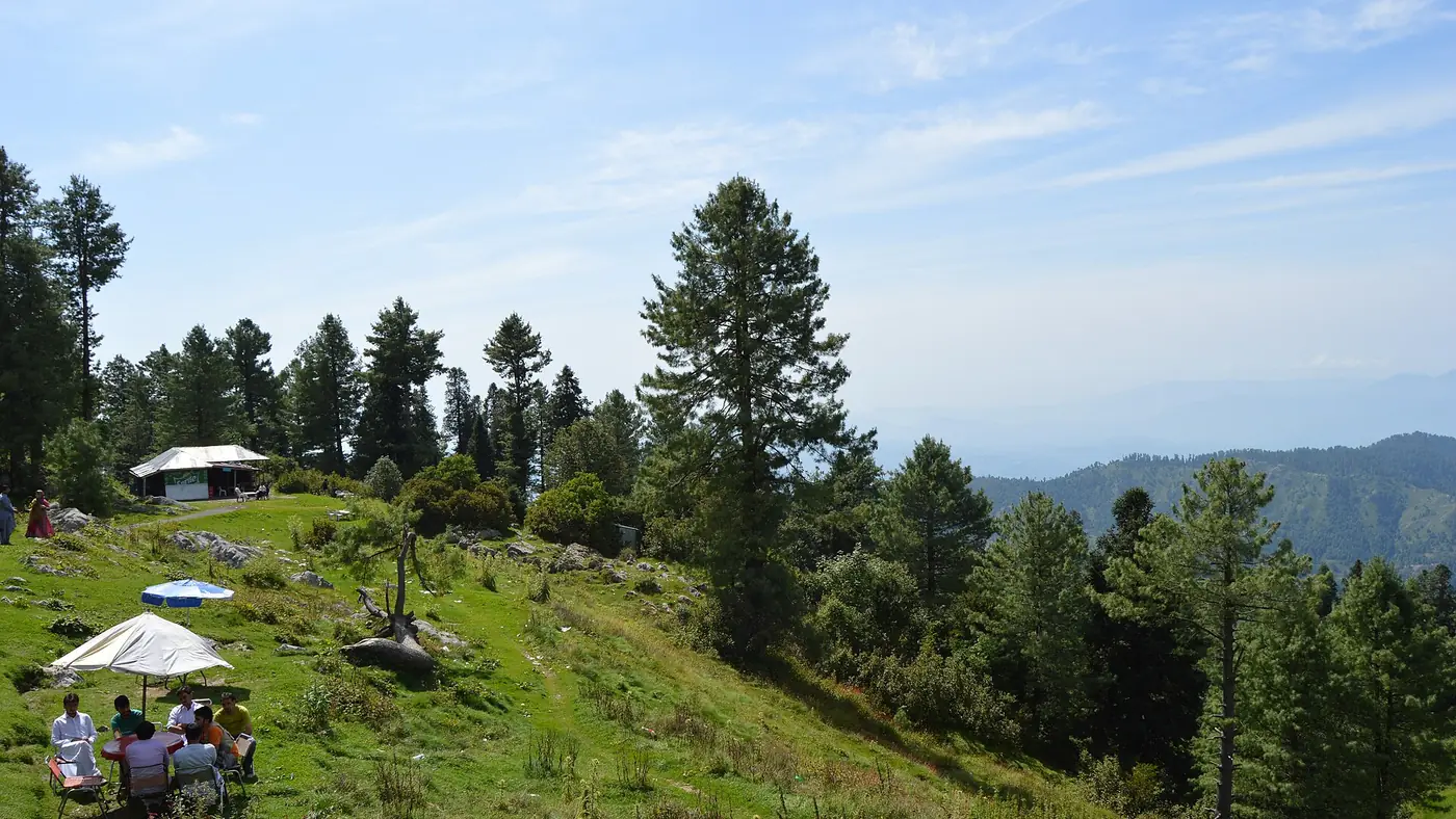
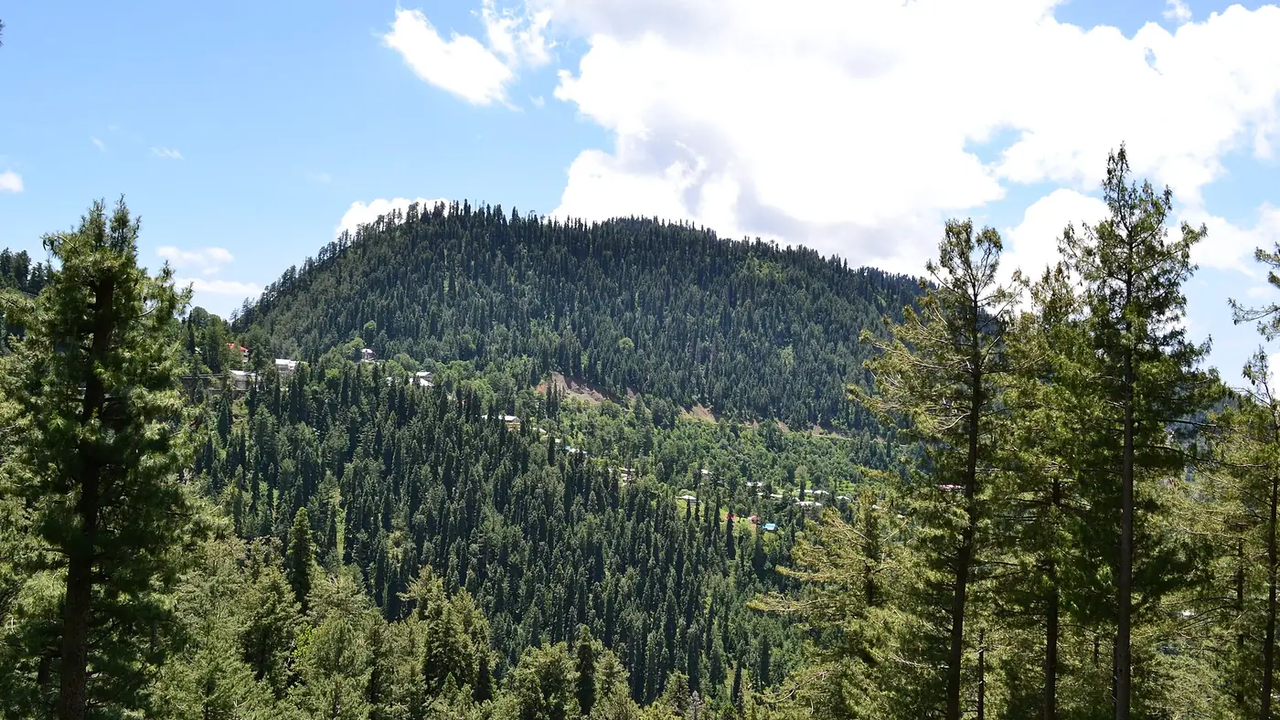
The summit is a wide, open grassy top, unusual in forest this thick, and a fine place to sit for an hour. On a clear day the views run south along the ridge to Murree, east across the Jhelum valley into the hills of Azad Kashmir around Bagh, and back over the forest of Ayubia National Park. On the clearest days you can see as far as Islamabad.
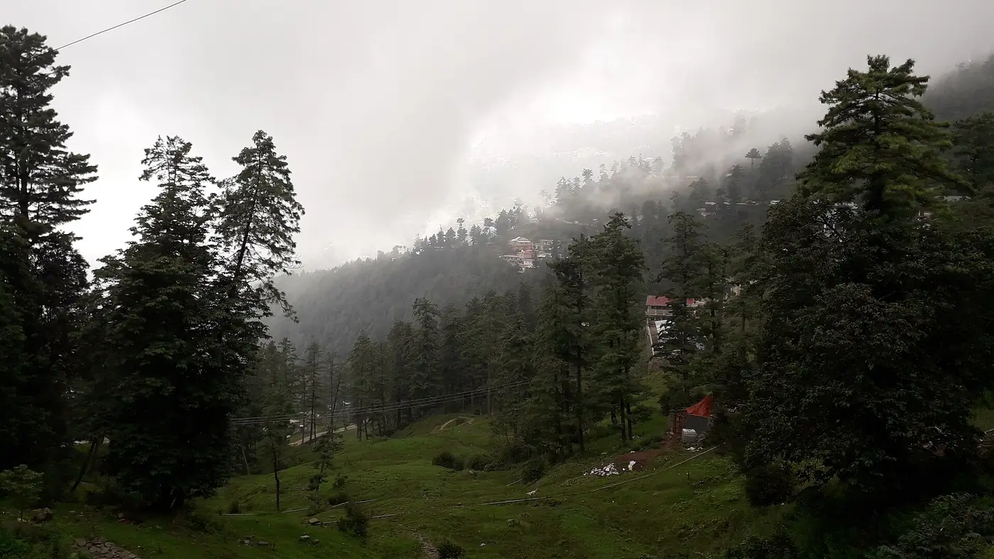
The views depend on the weather more than anything else. October and November, and the days just after rain, give the clearest air. In the monsoon the top is often in cloud, and in summer haze the far views fade by late morning.
Mushkpuri in winter
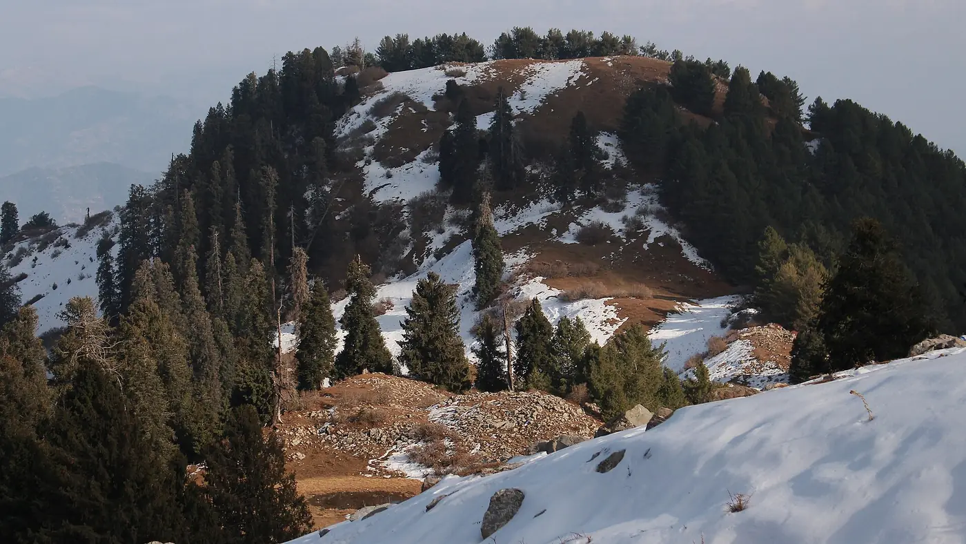
From about late December to early March the trail is usually under snow, and the hike changes completely:
- It takes much longer. Deep snow on the steep sections can add an hour or more to the climb.
- Ice is the real hazard, especially on the steep, shaded sections in the morning. Boots with a deep tread are the minimum, and microspikes make a big difference.
- The route is harder to follow once snow covers the path, and in fog or falling snow it is easy to lose.
- Days are short. Be off the mountain well before dark, which comes at around half past five in December and January.
Go in winter only in clear weather, with proper boots, warm layers and someone who knows the route. Never set off while snow is falling, and if the police have closed the Galiyat road after a storm, the hike can wait. Our guide to Nathia Gali in winter explains how closures work, and the weather by month shows when snow is most likely.
Staying safe on the trail
- Carry water, a litre or more each. You can't rely on finding any on the way up.
- Take a warm layer and a rain jacket, even on a hot day in June. The top is exposed and the weather turns quickly.
- Tell your hotel which route you are taking and when you expect to be back.
- Leopards live in these forests. Attacks on people are rare but have happened in the Galiyat. Walk in company, keep children close, and be down before dusk.
- Don't feed the monkeys, and take all your rubbish back down. The summit meadow is spoilt quickly by litter.
Is Mushkpuri worth it?
Yes, if you can walk uphill for two hours. For the effort it asks, it gives the best views in the Galiyat, and the open summit is a welcome change after the forest.
If you want a longer, quieter day under the trees, Miranjani, the highest point in the Galiyat, is the alternative; our Miranjani Top hike guide compares the effort. If you want the forest without the climb, walk the Pipeline Track instead. For a weekend that fits in both, see our two-day Galiyat itinerary, or send us your dates and we will plan it with you.
Frequently asked questions
How long is the Mushkpuri Top hike?
Roughly 3 to 4 km each way from Dunga Gali. Most people take 1.5 to 2.5 hours to climb and about an hour to come down.
How high is Mushkpuri Top?
About 2,800 metres. It is the second-highest point in the Galiyat, after Miranjani at 2,992 metres.
Is the Mushkpuri hike difficult?
It is moderate: steep and steady, but on a clear, well-used path with no scrambling. Anyone reasonably fit can do it at their own pace.
Which is better for Mushkpuri, the Dunga Gali or the Nathia Gali route?
The Dunga Gali route is shorter and steeper; the Nathia Gali route via Lalazar is longer and gentler. Many people go up from Dunga Gali and come down to Nathia Gali.
Can you hike Mushkpuri in winter?
Yes, but only with proper boots, ideally microspikes, and someone who knows the way. Snow and ice make it far slower, and it is not a hike to start in falling snow.
Is Mushkpuri suitable for children?
For children who are used to walking, yes, with plenty of stops. For toddlers and very young children, the Pipeline Track is a better choice.