Machulu is a farming village on the road from Khaplu to Hushe, roughly an hour's drive from Khaplu, and the trailhead for one of Baltistan's most talked-about short treks: Machulu La, a high ridge from which trekkers report seeing K2 and several of the world's other 8,000-metre peaks without weeks on the Baltoro glacier.
This guide covers what the village itself is like, what the trek to Machulu La involves, and who it suits.
| At a glance | |
|---|---|
| Where | Hushe valley, Ghanche district, roughly halfway between Khaplu and Hushe |
| From Khaplu | About an hour by jeep or car |
| Village altitude | Around 2,800 to 2,900 m |
| Machulu La viewpoint | Reported around 5,200 m |
| Trek length | 3 to 4 days there and back from Machulu |
| Best months | Mid-June to early September |
| Vehicle needed | A car or jeep from Khaplu; no special permit for the village |
Where is Machulu?
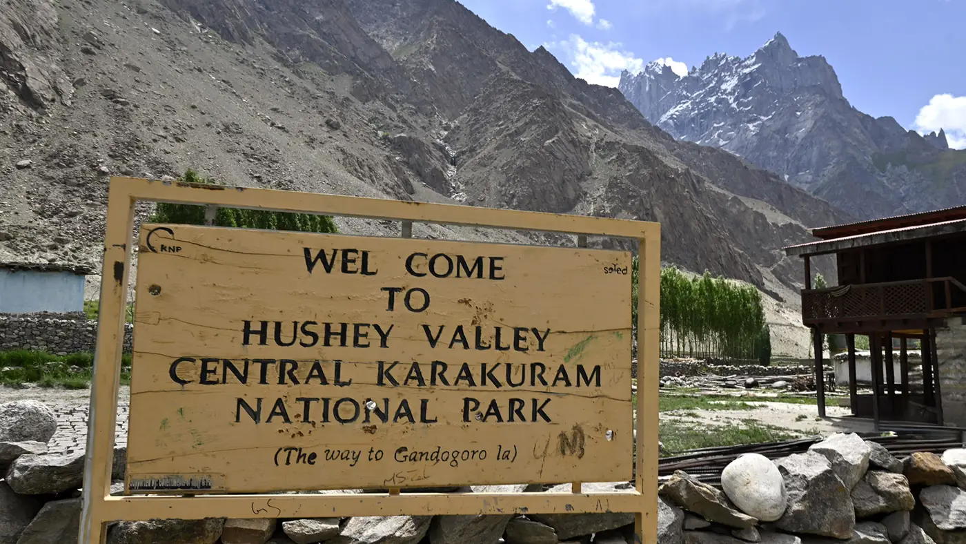
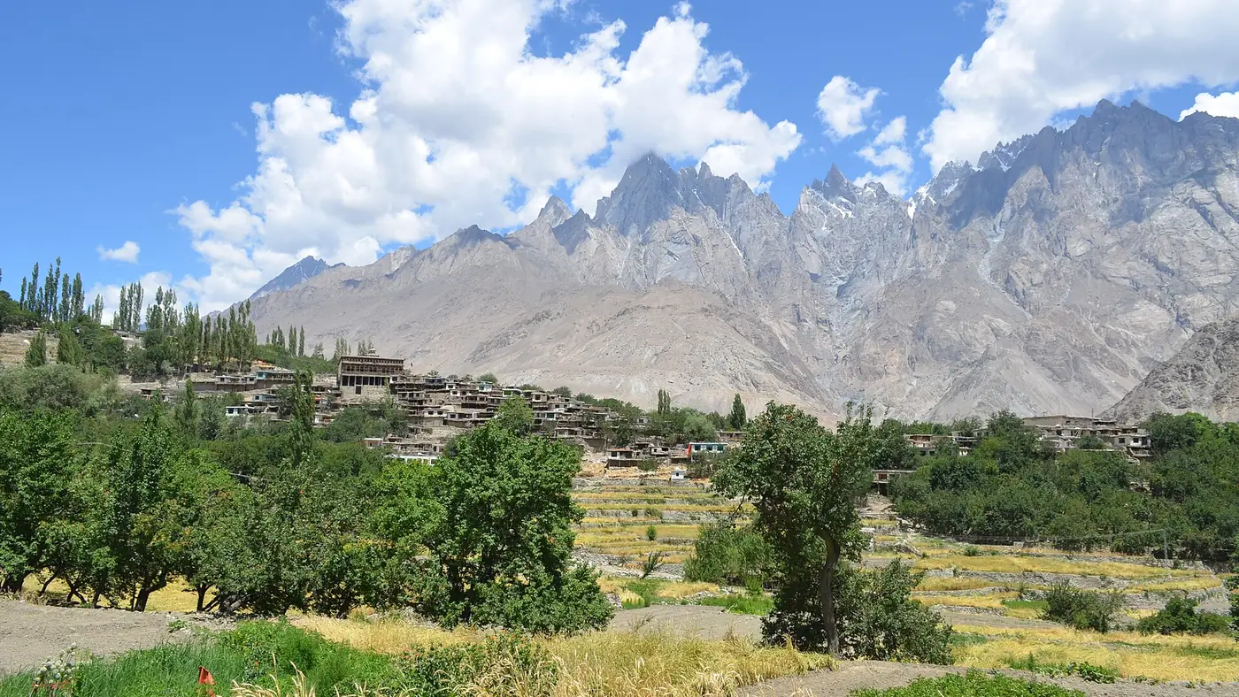
Machulu sits on the west side of the Hushe river, on the jeep road that climbs from Saling, at the mouth of the valley, up through Machulu and Kande to Hushe village below Masherbrum. It is one of the larger settlements in the valley: a scatter of stone houses among terraced fields and apricot orchards, with the Hushe river below and the ridgeline that carries the Machulu La trek rising behind it.
The drive up from Khaplu crosses the Shyok at Saling, then follows the narrowing valley road. It is paved for the first stretch and rougher beyond, so a jeep or a high-clearance vehicle with a local driver is the sensible choice, particularly after rain. Our guide to the Hushe valley covers the road on to Hushe itself.
The village
For most visitors passing through on the way to Hushe, Machulu is worth an hour's stop: a walk along the irrigation channels that feed the orchards, and a look at the village's old timber mosque. It is a working farming village rather than a tourist stop, so keep to the lanes, dress modestly and ask before photographing people.
Machulu is also where most parties hire a local guide for the walk up to Machulu La, rather than attempting it alone.
The Machulu La trek
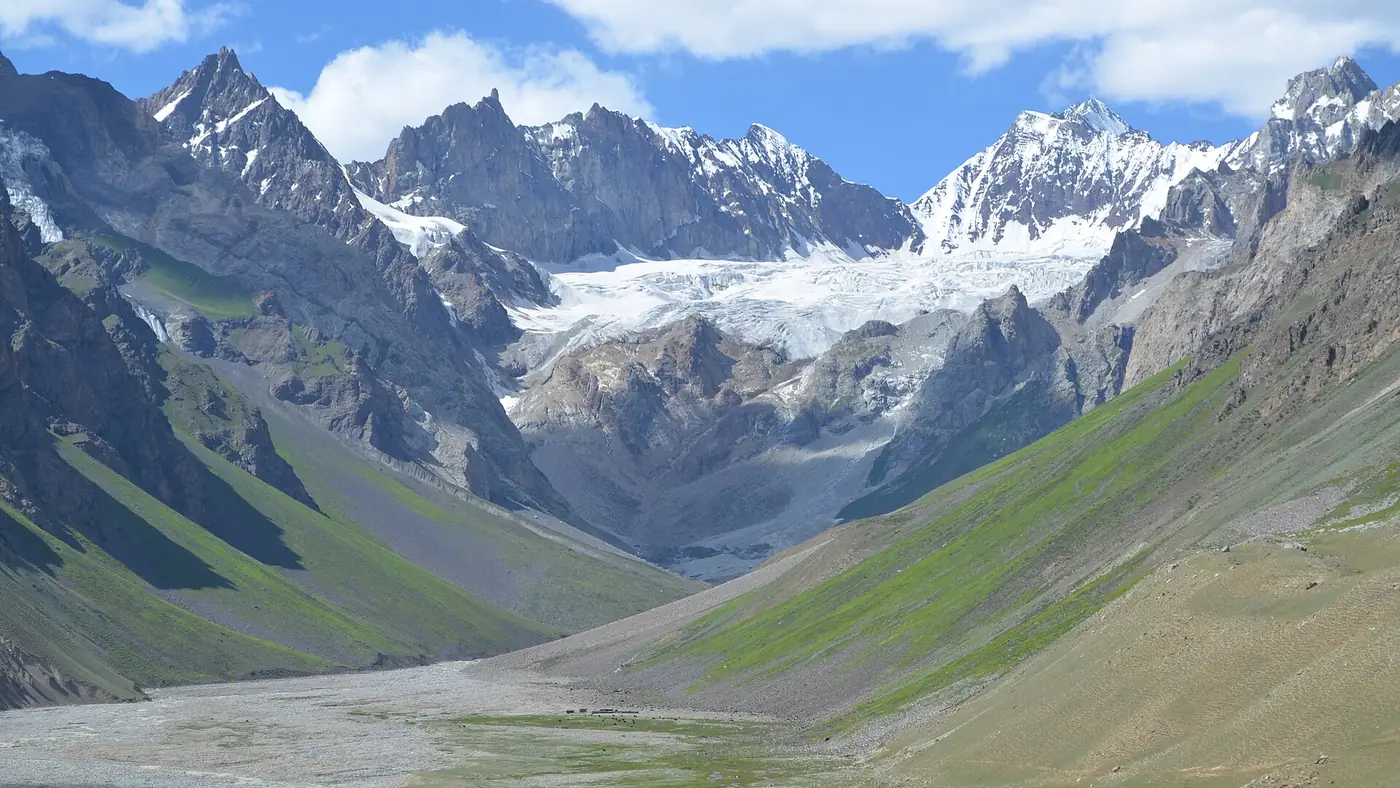
Above the village a trail climbs steeply onto the ridge that separates the Hushe valley from the ice of the wider Karakoram. Trekking operators who run the route describe a viewpoint at around 5,200 metres with, on a clear day, a 360-degree view that takes in K2, the Gasherbrum peaks, Broad Peak and the Siachen side of the range, along with Nanga Parbat far to the west. It is marketed as one of the more accessible ways to see several of the world's 8,000-metre peaks together, without the multi-week commitment of a Baltoro trek to Concordia.
Reckon on:
- 3 to 4 days for the round trip from Machulu, including a night or two camping high before the push to the viewpoint.
- A local guide. The route is not marked, and the upper ground is glaciated terrain close to 5,000 metres. Arrange a guide and porters through a registered operator or in Khaplu; don't attempt it without one.
- Full trekking kit. A warm sleeping bag, proper boots, and layers for a night camp well above 4,000 metres, even in summer.
- Acclimatisation. Machulu itself sits at under 3,000 metres, but the trek gains well over 2,000 metres in a few days. Build in a rest day if anyone in the group is new to altitude.
Mid-June to early September is the season most operators work to, when the snowline has retreated enough to make the ridge walkable and the views are least likely to be lost in cloud. Outside those months, deep snow makes the route a mountaineering objective rather than a trek.
Is it worth it?
For a fit, well-prepared trekking party, yes. Few short treks in Pakistan promise a view of this many 8,000-metre peaks for a few days' effort, and Machulu itself, with its orchards and quiet lanes, is a pleasant place to start and finish.
It is not a casual walk. The altitude, the unmarked ground and the need for a guide put it well beyond a family day out. If you want K2 country without a trek, the drive up the Hushe valley to Hushe village, with its own view of Masherbrum, is the easier alternative. Our K2 base camp trek guide covers the longer route to K2 itself, for anyone weighing the two.
If you would like Machulu La added to a longer Baltistan itinerary, with the guide, permits and transport arranged around your dates, get in touch through our trip planning page.
Frequently asked questions
How far is Machulu from Khaplu?
About an hour by car or jeep, roughly halfway along the road from Khaplu to Hushe village.
Can you see K2 from Machulu village?
No. K2 is visible from the high viewpoint on the Machulu La trek, well above the village, not from Machulu itself.
How long does the Machulu La trek take?
Trekking operators generally run it as a 3 to 4 day round trip from Machulu, including a high camp before the final push to the viewpoint.
Do I need a guide for Machulu La?
Yes. The route crosses unmarked, glaciated ground near 5,000 metres. Arrange a local guide and porters through a registered operator or in Khaplu.
When is the best time for the Machulu La trek?
Mid-June to early September, when the upper ground is clearest of snow and the peaks are least likely to be in cloud.