Lady Finger Peak, known locally as Bublimotin, is the thin rock spire that stands beside Ultar Sar on the mountainside directly above Karimabad in Hunza. It rises to around 6,000 metres, far lower than its neighbouring giants, but it is the single most recognisable summit in the valley because of its shape: a narrow tooth of bare rock rather than a broad, snow-covered ridge.
This guide covers where the peak sits, what its local name means, its climbing history, and where in Hunza to get the best view of it.
| At a glance | |
|---|---|
| Height | About 6,000 m |
| Local name | Bublimotin ("Bubli's peak") |
| Range | Batura Muztagh, part of the Karakoram |
| Location | Southwest ridge of the Ultar Sar massif, above Karimabad |
| First ascent | 22 May 1982, Patrick Cordier and Jacques Maurin |
| Route climbed | East ridge |
| Best viewpoints | Central Karimabad, Baltit Fort, Eagle's Nest above Duikar |
Where Lady Finger Peak is
Lady Finger sits on the southwest ridge of the Ultar Sar massif, part of the Batura Muztagh, the westernmost subrange of the Karakoram, directly north of Karimabad. It rises precipitously above the Hunza valley, a thin spire of rock standing apart from the ice of Ultar Sar beside it, which is what makes it so easy to pick out even for someone who has never seen the mountain before.
At around 6,000 metres it is far short of Ultar Sar's 7,388 metres, but its shape rather than its height is what draws the eye: a sharp, largely snowless rock tower rather than a broad snow face.
What does Bublimotin mean?
The local name, Bublimotin, is also written Bubli Motin or Bublimating, and it translates roughly as "Bubli's peak," a reference to a figure from local folklore. "Lady Finger" is the name that stuck with English-speaking visitors and mountaineers, describing the shape of the spire rather than any local tradition, and both names are used interchangeably today, on maps, in guesthouses and by local guides.
Climbing history
Lady Finger is a serious rock climb rather than a trekking peak, and it draws far fewer attempts than the trekking routes elsewhere in Hunza. The first ascent was made on 22 May 1982 by the French climbers Patrick Cordier and Jacques Maurin, who climbed the east ridge. It has minimal snow cover and low topographic prominence relative to Ultar Sar next to it, which makes it a technical rock objective rather than an easier snow-and-ice route.
It remains a niche destination for experienced climbers, and it is not a peak that casual trekkers or visitors on a family holiday should think of attempting. For anyone wanting to get closer to the massif on foot without technical climbing, the walk up to Ultar Meadows is the way most visitors experience this side of the valley.
Where to see and photograph it
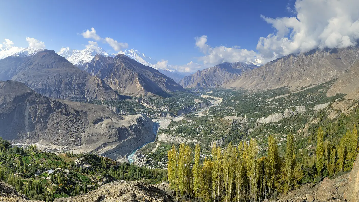
- Central Karimabad. Many rooftop cafés and guesthouse terraces in the bazaar area have a direct line of sight to Lady Finger and Ultar Sar behind it, with no need to travel anywhere.
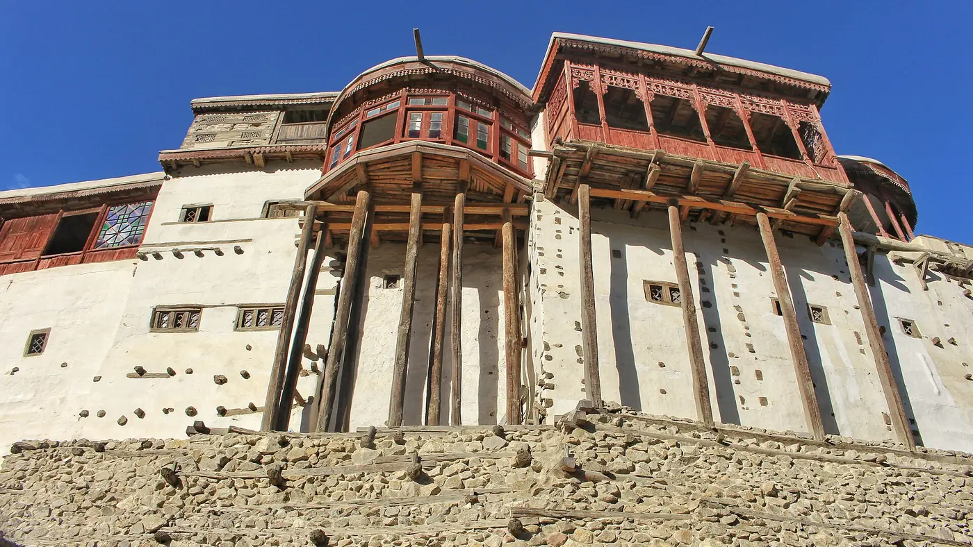
- Baltit Fort. The fort's elevated position above the old town gives an open view of the spire against the sky, especially good in the softer light of early morning.
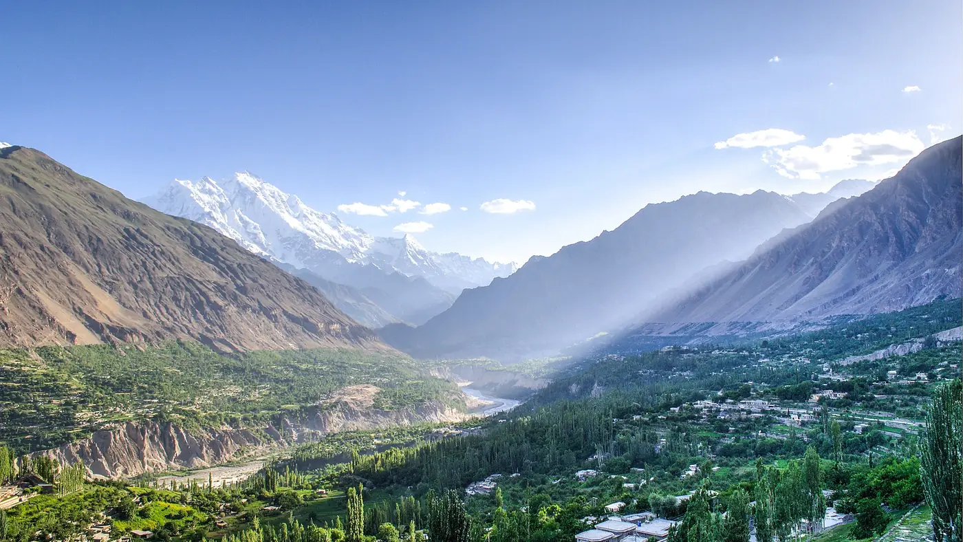
- Eagle's Nest above Duikar. For the widest view of the whole northern skyline, including Lady Finger beside Ultar Sar, Rakaposhi and Diran across the valley, Eagle's Nest is the best-known viewpoint in Hunza, particularly at sunrise.
As with the higher peaks around it, cloud is the main obstacle to a clear view rather than distance. Mornings, before cloud typically builds later in the day, give the most reliable sightings.
How it fits with the rest of the northern skyline
Lady Finger is one part of a wider panorama that also includes Ultar Sar directly behind it, Hunza Peak (Bojahagur Duanasir II) further along the same ridge, and Rakaposhi and Diran across the valley on the Nagar side. Our guide to the mountains visible from Karimabad sorts out which peak is which and where each one sits relative to the town.
Is it worth planning around?
For most visitors, yes, in the sense that it costs nothing extra: Lady Finger is visible from the town itself, so there is no detour needed to see it, only a bit of patience for a clear morning. It is not a peak you climb or trek to on an ordinary Hunza holiday, so treat it as a striking backdrop to photograph and identify rather than a destination in its own right. Anyone serious about a closer look on foot should read our guide to the Ultar Meadows hike, which climbs into the same massif without requiring technical climbing.
Frequently asked questions
How tall is Lady Finger Peak?
About 6,000 metres. It is far lower than the neighbouring peaks of Ultar Sar and Rakaposhi, but its sharp, spire-like shape makes it the most recognisable summit around Karimabad.
Why is Lady Finger Peak called Bublimotin?
Bublimotin is the local name, translating roughly as "Bubli's peak" after a figure in local folklore. "Lady Finger" is the English name used by visitors and mountaineers for the same spire, describing its shape.
Who first climbed Lady Finger Peak?
French climbers Patrick Cordier and Jacques Maurin made the first ascent on 22 May 1982, via the east ridge.
Can tourists climb Lady Finger Peak?
No, not casually. It is a technical rock climb attempted by experienced mountaineers, not a trekking peak. Visitors see it from Karimabad or from the Ultar Meadows walk rather than climbing it.
Where is the best place to see Lady Finger Peak?
From central Karimabad or Baltit Fort for an easy, close view, or from Eagle's Nest above Duikar for the widest panorama alongside Ultar Sar, Rakaposhi and Diran.