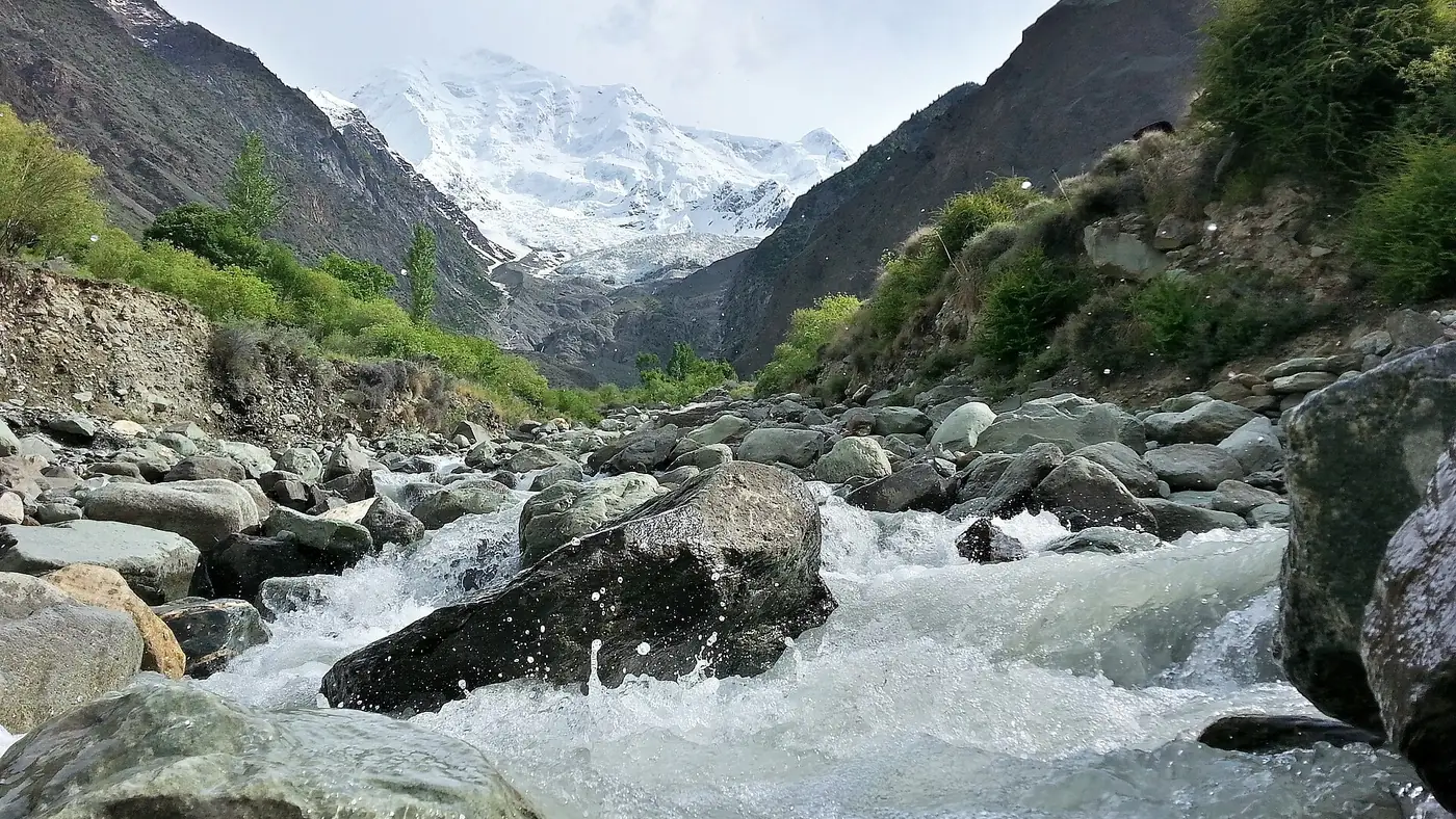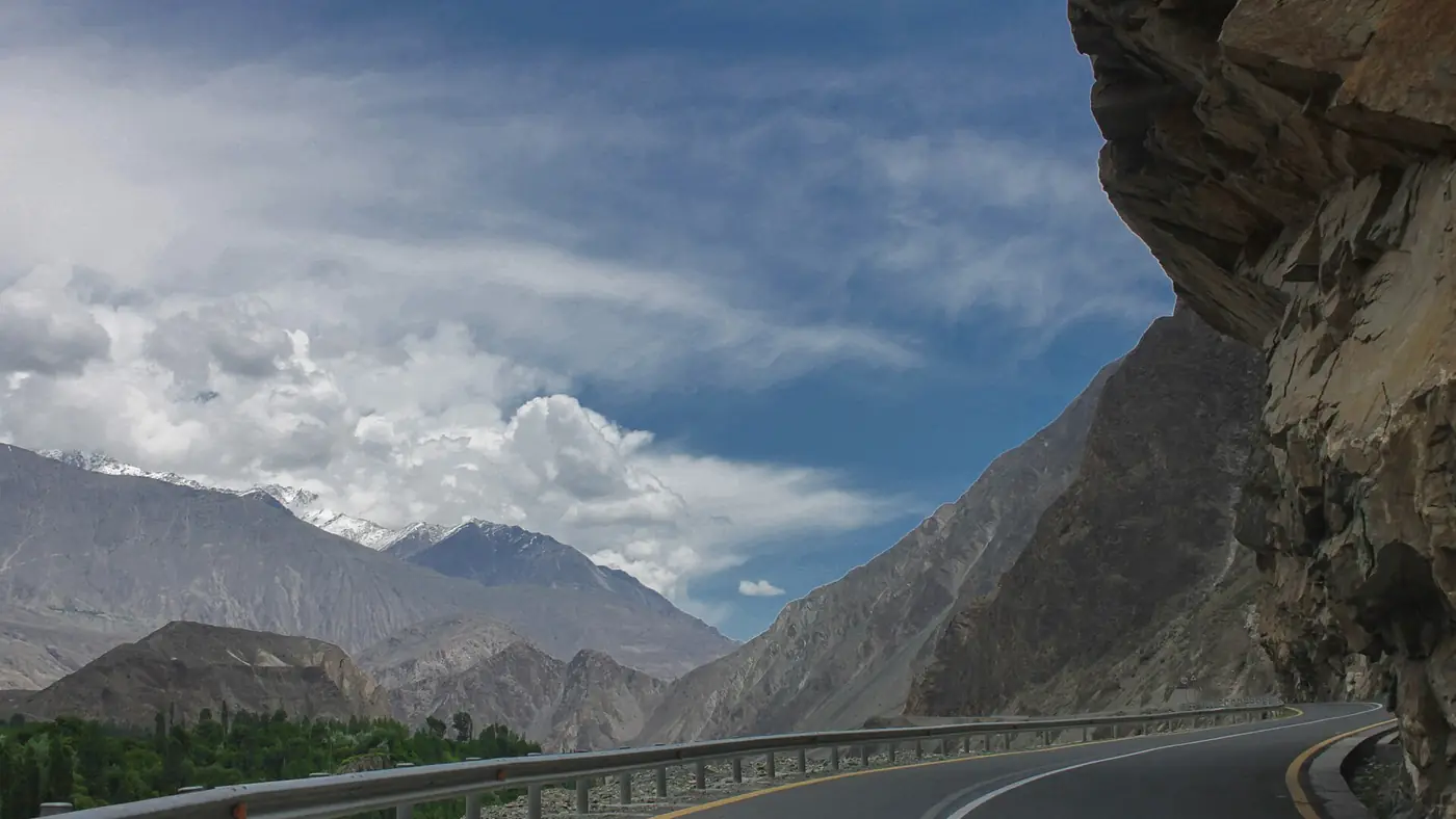
The Karakoram Highway's landslide areas are not spread evenly along the road. A handful of named stretches, Kohistan south of Chilas, Tatta Pani between Chilas and the Raikot bridge, and a few glacier-fed nullahs further north, account for most of the closures every year, and knowing where they are helps you understand a road status update rather than just react to it.
This guide goes through the known landslide zones in order along the highway, when each one is most active, and what to do if you are caught at one.
| At a glance | |
|---|---|
| Worst zone overall | Kohistan, Besham to Chilas |
| Most persistent single spot | Tatta Pani, between Chilas and Raikot Bridge |
| Peak season | July and August, with a secondary peak in spring |
| Cause | Loose slopes, monsoon rain, glacial melt and glacial lake floods |
| What closes | Usually cleared within hours to a few days |
| Where to check | GB Tourism Department advisories, Tourist Police on 1422 |
Kohistan: Besham to Chilas
This is the stretch with the worst reputation on the whole highway, and for good reason. The road here was never rebuilt to the standard of the section north of Chilas, and it runs through steep, loose terrain above the Indus for roughly 150 km. Rain loosens slopes that were never stable to begin with, and mudflows and rockfall here can hit several points at once in a bad spell of weather.
Kohistan is also the section with the fewest realistic alternatives. There is no parallel road, so a closure here simply means waiting, and it is the stretch our guide to driving on the Karakoram Highway singles out as the hardest and slowest part of the whole route even without a landslide.
Tatta Pani: the most persistent single spot
Between Chilas and the Raikot bridge, a stretch of only a few kilometres called Tatta Pani (the name means hot water) is the single most reliably troublesome spot north of Kohistan. Its slopes are loose and crumbling by nature, and it blocks the highway in some form in most years, sometimes several times in one season. In a bad spell of rain, mudflows here can appear at more than a dozen separate points along the same short stretch rather than as a single slide.
No permanent fix has held here so far, and it is worth treating Tatta Pani as somewhere to drive through steadily rather than stop, whatever the weather looks like on the day.
Flash floods around Chilas
The side valleys, or nullahs, that come down to the highway near Chilas are prone to flash floods after heavy rain or a cloudburst higher up, distinct from the slow, grinding slides of Kohistan and Tatta Pani. These floods can arrive with little warning, carrying debris across the road, and are most likely in the same July to August window as the rest of the region's worst weather.
Rockfall between Gilgit and Hunza
The rebuilt highway from Gilgit through Nagar to Hunza is a much better road than anything south of Chilas, but it is not immune to rockfall, particularly where it is cut into steep valley sides. These events tend to be smaller and clear faster than a Kohistan-scale slide, but they can still close the road for several hours at a time, and they are unpredictable rather than tied to a single known spot the way Tatta Pani is.
Glacial lake floods at Hassanabad
Above the village of Hassanabad, below Aliabad in lower Hunza, the Shishper glacier has produced repeated glacial lake outburst floods, most seriously in 2022, when a sudden release of meltwater swept away the highway bridge there. These events are driven by heat rather than rain: a warm spell melts ice rapidly, a temporary lake behind unstable ice or moraine builds up, and it bursts with little warning. Treat a glacial flood warning for Hassanabad or Shishper as seriously as a landslide warning, since the damage can be more severe and slower to repair.
Streams and bridges through Gojal
The upper Hunza valley, from Gulmit to Passu and on to Sost, crosses several streams fed by glaciers above the valley. The Attabad tunnels themselves have a good record, but the streams crossing the road beyond them can flood in the same warm, wet conditions that trigger problems further south, occasionally burying a bridge or a short stretch of road in debris until machinery can clear it.
When landslides are most likely
- July and August are the peak, driven by glacier melt at its fastest and the monsoon reaching the southern part of the route at the same time.
- March to May is a smaller secondary peak, when rain falls on slopes still thawing from winter, especially in Kohistan.
- September and October are usually the most dependable months, after the melt has slowed and before winter snow arrives.
- Winter brings snow and occasional rockfall rather than the mud and debris flows of summer.
What to do if you are caught at a blockage
- Stay well back from the slope, whether it is a active slide, a flash flood or a section where restoration work is under way. Debris can keep coming after the initial event looks over.
- Don't cross moving debris on foot, and never with children, however routine it looks to people already doing it around you.
- Keep fuel, water and food in the car. A short delay can become several hours with little warning, particularly in Kohistan or at Tatta Pani.
- Check for an update rather than guess. A road that is closed at 9 am can be open by 2 pm, or the reverse. Our guide to checking Karakoram Highway road status covers the sources worth calling.
- Accept that Kohistan and Tatta Pani have no detour. The Babusar road bypasses Kohistan in summer but rejoins the highway at Chilas, so it does nothing for a closure north of there.
How we plan around it
We build a spare day into any itinerary that crosses Kohistan or Tatta Pani in July or August, since treating a closure as a possibility rather than a surprise protects a trip. Early starts, a full tank and a driver who knows to wait rather than push through a slide matter more here than anywhere else on the route. Our travel guide has more on planning around road and weather risk across the north.
Frequently asked questions
Where does the Karakoram Highway landslide most often?
Kohistan, between Besham and Chilas, has the worst overall record. Within Gilgit-Baltistan, Tatta Pani, a short stretch between Chilas and the Raikot bridge, is the single most persistent spot.
What time of year has the most landslides on the KKH?
July and August, when glacier melt and monsoon rain overlap. March to May is a smaller second peak, and September and October are usually the calmest months.
Is Tatta Pani always closed?
No, but it blocks in some form most years, sometimes more than once in a season. Treat it as a stretch to drive through steadily rather than somewhere to stop.
What causes glacial lake outburst floods near Hunza?
Rapid melting on glaciers such as Shishper, above Hassanabad, builds up a temporary lake behind unstable ice or moraine that can burst suddenly, usually during unusually warm spells rather than after rain.
Is there a detour around a KKH landslide?
Rarely. The Babusar road bypasses the Kohistan stretch south of Chilas in summer, but it rejoins the highway at Chilas and does not help with a closure at Tatta Pani or anywhere further north.
Is the Karakoram Highway route safe for overseas visitors?
Pakistani travellers use it all year, but as of September 2026 the UK government advises against all travel on the Karakoram Highway between Mansehra and Chilas, through Besham and Dasu. In summer the road over the Babusar Pass avoids that stretch. If you hold a foreign passport, check your own government's advice before you go, because travelling against it can void your insurance. Everyone should check local news and road conditions before setting out.