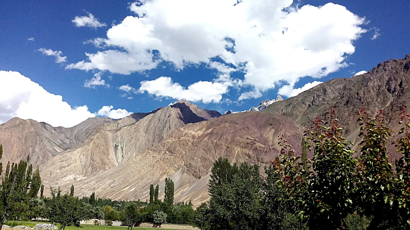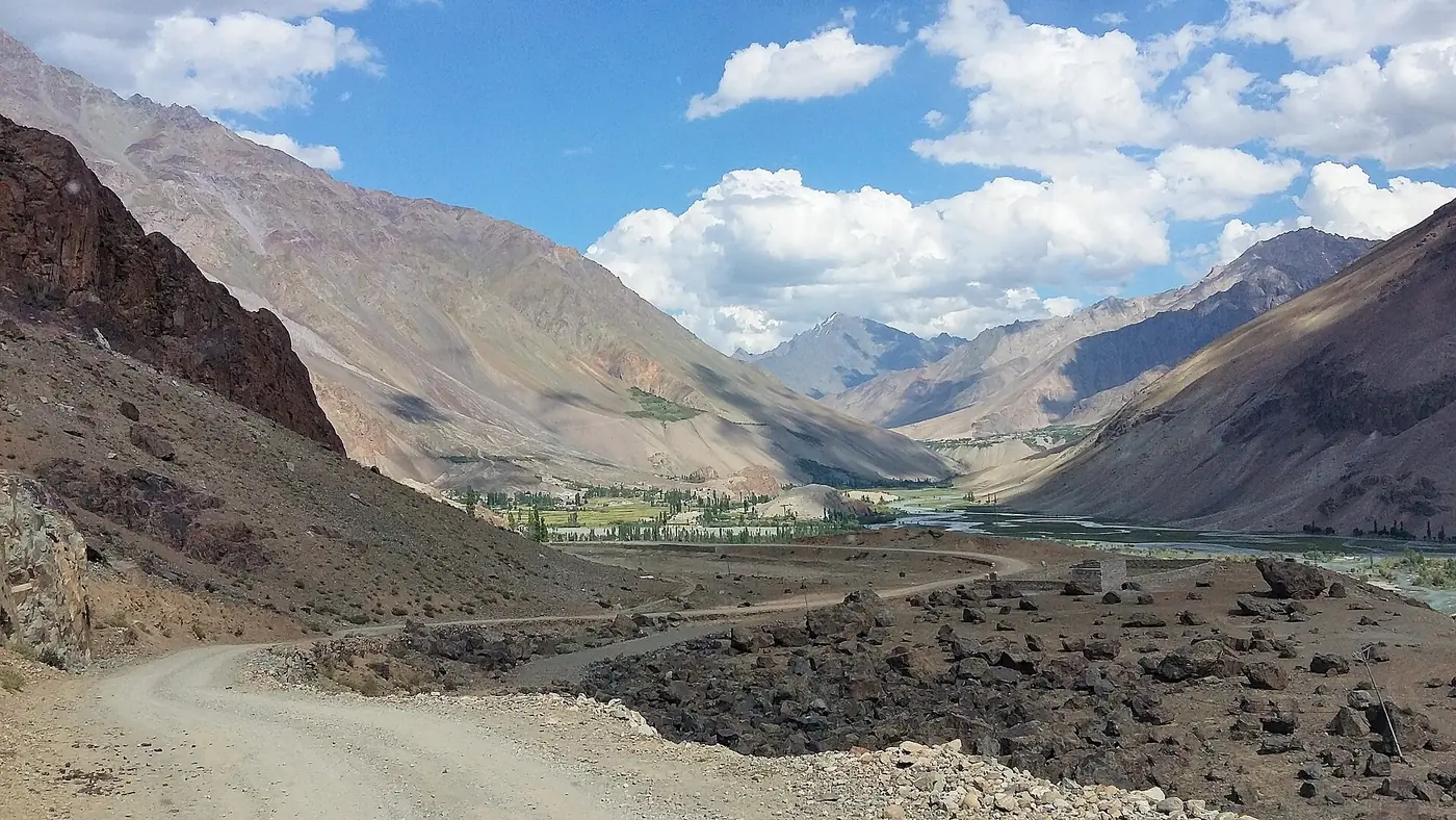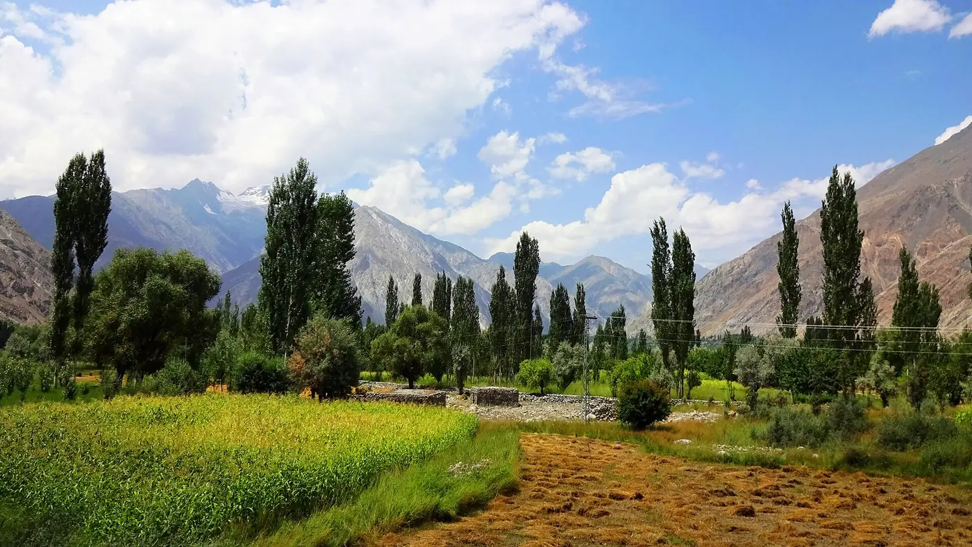
Ishkoman valley runs north from Gahkuch in Ghizer, up the Karambar river towards the Afghan border, a quiet farming valley best known locally for its apricots and, further up, as the walking approach to Karambar Lake. Chatorkhand, the tehsil headquarters, is about 95 km and three to four hours by road from Gilgit. This guide covers the villages, the road, and what it takes to reach Karambar beyond Imit.
| At a glance | |
|---|---|
| Where | North of Gahkuch, along the Karambar river |
| Altitude range | About 2,100 to 3,700 m |
| From Gilgit to Chatorkhand | About 95 km, 3 to 4 hours |
| Main villages | Gahkuch, Chatorkhand, Imit |
| Known for | Apricots, quiet trekking, approach to Karambar Lake |
| Best months | June to September |
Where is Ishkoman valley?
Ishkoman turns off the main Gilgit–Shandur road at Gahkuch, the district headquarters of Ghizer, about 70 km and two hours from Gilgit. From there the road follows the Karambar river north, climbing gradually through a series of villages towards the Afghan border and the Pamir. Our places to visit in Ghizer guide sets Ishkoman alongside the valley's other side trips.
Chatorkhand, about 25 km further up at around 2,100 metres, is the valley's main settlement and tehsil headquarters, with a small bazaar, government offices and the largest concentration of guesthouses in Ishkoman. Beyond it, the road continues through smaller villages towards Imit, one of the highest permanently settled points in the valley and the usual jumping-off point for anyone heading further towards Karambar.
Villages and orchards
Ishkoman is quieter and greener than its size on a map suggests. Around 20 villages sit along the valley floor and lower slopes, with a combined population usually put at around 20,000 to 30,000. The valley is particularly known for its apricots, grown in villages including Pakora, Dain, Chatorkhand and Imit, and dried apricot and its by-products (including apricot oil) are a local product worth looking for in the bazaar.
Life here follows the growing season closely: fields of wheat and potatoes, orchards heavy with fruit by midsummer, and herding on the higher pastures. There is little in the way of formal sightseeing; the appeal is walking between villages, talking to people, and the quiet itself.
The approach to Karambar Lake
At the head of the valley, inside Qurumbar National Park, lies Karambar Lake (also written Qurumbar Lake), at 4,272 metres one of the highest large lakes in Pakistan. It is not reachable by road: from around Imit, or from Chatorkhand for a longer approach, it is a multi-day trek of three to four days each way across high, open ground, usually done with pack animals and a local guide rather than as a casual walk. Our lakes of Ghizer guide has more on the lake itself and what the trek involves.
This is expedition-level walking, not a side trip to add to a road itinerary. Anyone planning it should arrange guides and porters in Chatorkhand or Imit, carry full camping equipment, and build in several spare days for weather at altitude.
Road and access
The road up Ishkoman is narrower and rougher than the main Ghizer road, sealed in parts and gravel in others, and it is vulnerable to summer flooding: in September 2026, flash flooding blocked the road between Imit and Barjangle and damaged power lines along the route, cutting off residents until repairs could be made. Ask about the state of the road in Gahkuch or Chatorkhand before driving further up the valley, particularly after heavy rain.
A normal car can usually manage as far as Chatorkhand in good conditions; a higher-clearance vehicle is the safer choice beyond it, and a local driver who knows the current road state is worth the cost.
Safety and the border
The upper end of Ishkoman runs close to the Afghan border and the Wakhan corridor. The UK government's Pakistan travel advice, current as of September 2026, advises against all travel within 10 miles of the Afghan border anywhere in Pakistan, which covers the far upper reaches of this valley. It does not cover Chatorkhand or the villages most visitors reach. Pakistani travellers regularly visit Ishkoman as far as Imit; anyone planning to go further, especially towards Karambar or beyond, should check current local police and administration advice before setting out, and overseas visitors should be aware their own government's advice may differ.
Is Ishkoman worth the detour?
For most people on a first trip to Gilgit-Baltistan, Ishkoman is not an obvious stop; it takes a day out of a trip for villages and orchards that, on their own, are not dramatically different from other parts of Ghizer. It suits travellers who want a genuinely quiet valley away from any tourist route, who are interested in Karambar Lake as a serious trekking goal, or who simply want to see a part of the north that few visitors reach.
A day trip to Chatorkhand and back from Gahkuch or Gupis is a reasonable way to see the lower valley without committing more time. Trekkers heading for Karambar need to treat it as its own trip, planned separately from a standard Ghizer itinerary. Our trip planning page can help work out which of these fits your time.
Frequently asked questions
How far is Ishkoman valley from Gilgit?
Chatorkhand, the main town, is about 95 km and three to four hours by road, via Gahkuch, which is itself about 70 km and two hours from Gilgit.
What is Ishkoman valley known for?
Its apricot orchards, quiet villages, and as the trekking approach to Karambar Lake, one of the highest large lakes in Pakistan, at the valley's head.
Can you drive to Karambar Lake?
No. There is no road to the lake; it is reached on foot from around Imit or Chatorkhand, a trek of three to four days each way with a local guide.
Is Ishkoman valley safe to visit?
The lower and middle valley, as far as Chatorkhand and Imit, is not currently subject to a UK travel advisory. The valley's upper reaches near the Afghan border are, so check current advice before travelling further than Imit.
Is the road to Ishkoman always open?
Not reliably in summer. Flash flooding has blocked stretches of the road in recent years, including a September 2026 flood between Imit and Barjangle, so check the road locally before setting out.