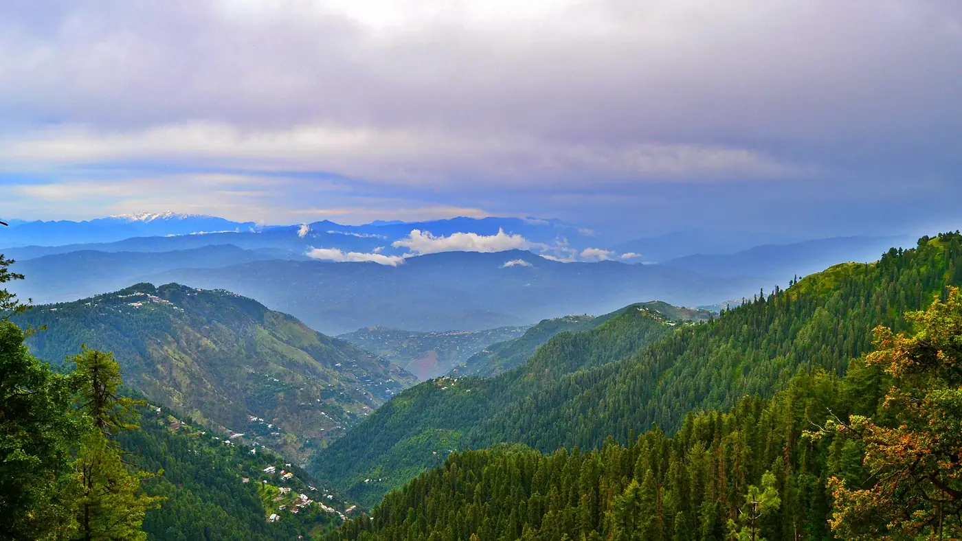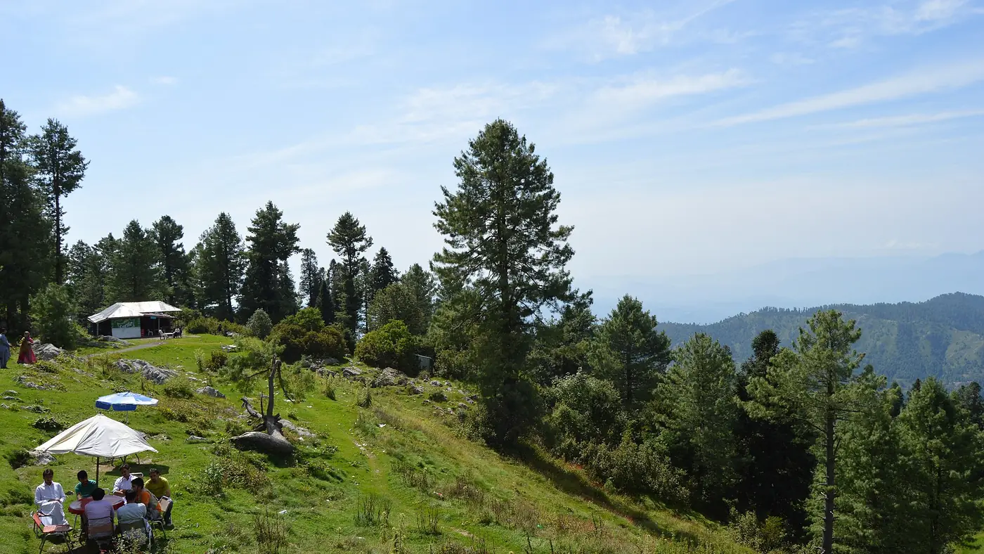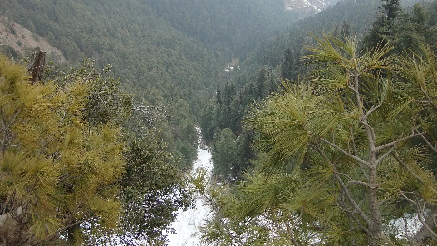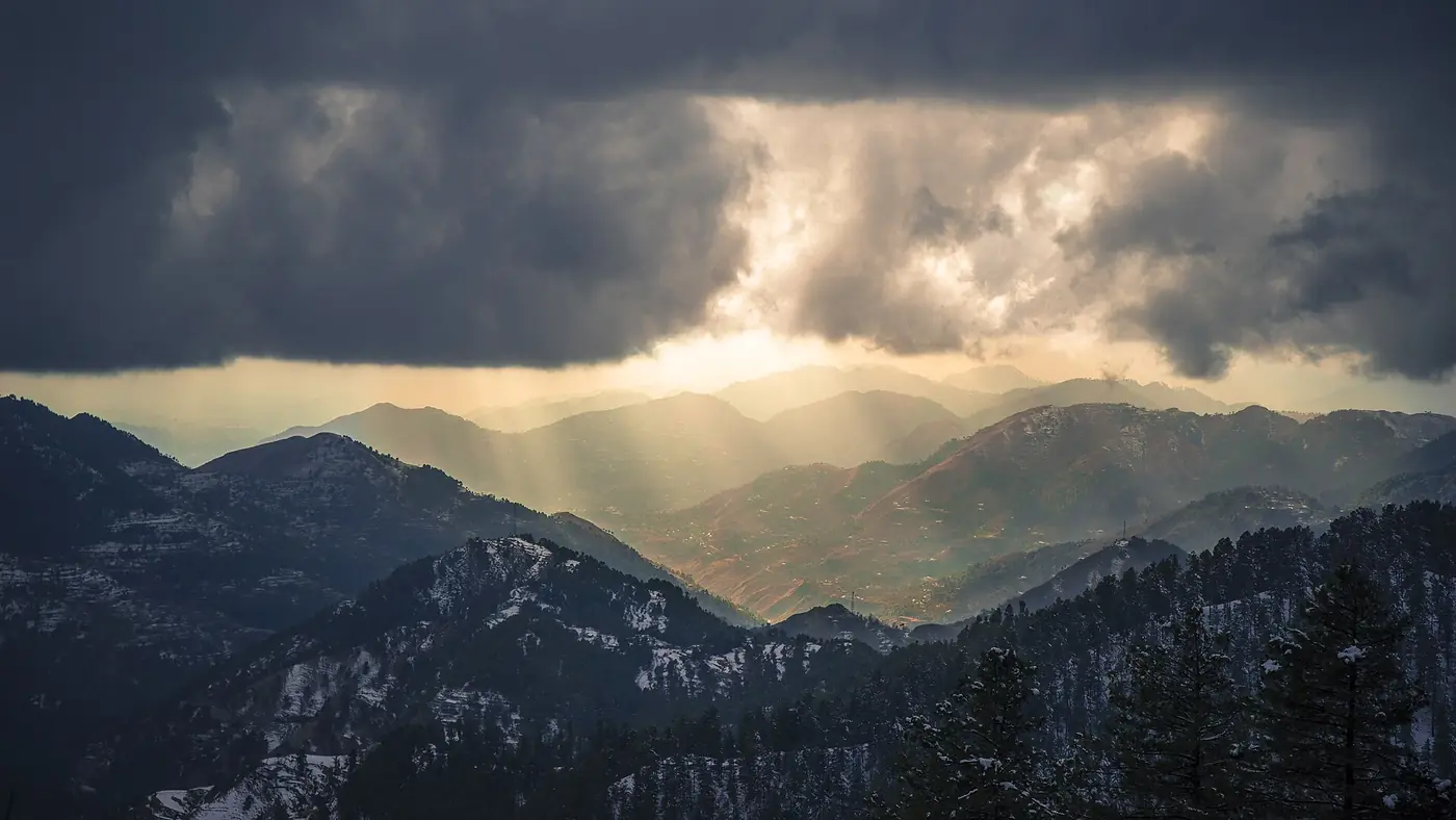
Hiking trails in the Galiyat range from the almost flat Pipeline Track, which suits small children and grandparents, to the longer climb up Miranjani, the highest point in the area at 2,992 metres. All three of the area's marked trails, run by the KP Wildlife Department through Ayubia National Park, start from Dunga Gali or Nathia Gali, so a short base in either town puts you within walking distance of all of them.
This guide compares the three marked trails by length, difficulty and season, and covers the looser, informal walking possible around the quieter galis for anyone who wants forest without a set route.
| Trail | Start | Length one way | Time up | Difficulty |
|---|---|---|---|---|
| Pipeline Track | Dunga Gali or Ayubia | About 4 km | 1 to 1.5 hours | Easy, almost flat |
| Mushkpuri Top | Dunga Gali (or Nathia Gali) | About 3 to 4 km | 1.5 to 2.5 hours | Moderate, steep in places |
| Miranjani Top | Nathia Gali | About 4.7 to 5 km | 2 to 3 hours | Moderate to strenuous, long |
The three marked trails
Pipeline Track: the easy forest walk
The Pipeline Track runs almost level between Dunga Gali and Ayubia, following the line of an old water pipeline through thick, shaded forest. At about 4 km one way and an hour to an hour and a half at an easy pace, it is the one trail here that suits almost anyone who can walk on level ground, including small children and older parents. Our full Pipeline Track guide covers the path, the wildlife and when to walk it.
Mushkpuri Top: the best half-day climb
Mushkpuri, at about 2,800 m, is the second-highest point in the Galiyat, reached by a steeper route from Dunga Gali or a gentler one from Nathia Gali via Lalazar. Most people take one and a half to two and a half hours up and about an hour down, with an open, grassy summit that gives the best view-for-effort ratio of any walk here. See our Mushkpuri Top hike guide for the full route.
Miranjani Top: the highest point and the longest day
Miranjani, at 2,992 m, is the highest summit in the Galiyat, reached by a longer trail from Nathia Gali that climbs through forest before a steeper, rockier final stretch. Allow five to six hours for the round trip with a rest at the top. On the clearest days, usually in autumn, Nanga Parbat is visible on the northern horizon. Our Miranjani Top hike guide covers the route and when the views open up. If you are choosing between the two summit walks, our Miranjani vs Mushkpuri comparison sets out the trade-offs directly.
Which trail suits which walker?
- Families with young children, or anyone who wants forest without a climb: the Pipeline Track.
- A good half-day out for reasonably fit adults and older children: Mushkpuri.
- A full day for keen walkers who want the highest point and fewer people: Miranjani.
- A weekend that covers more than one: walk the Pipeline Track one afternoon and a summit the next morning while your legs are fresh. Our two-day Galiyat itinerary sets out exactly this plan.
Beyond the marked trails
The three trails above are the only ones with set routes, signage and a recognised start and finish. Elsewhere in the Galiyat, walking is looser and more informal:
- Around Khaira Gali and Khanspur, forest roads and paths off the main route give an easy stroll rather than a planned hike, without a marked trail or a fixed distance. Our guides to Khaira Gali and Khanspur cover what to expect from each.
- At Thandiani, on its own road above Abbottabad, thicker forest and quieter paths suit a slower, unhurried walk rather than a summit push. Our Thandiani guide has more detail.
None of these need booking or a guide in clear summer weather, but none carry the signage or the crowd of the three main trails either, so stick close to the road if you are walking alone and are not certain of the way back.
What to carry on any Galiyat trail
- Water. None of the trails have a reliable water source along the way.
- A warm layer, even on a hot day. The summits are windy, and cloud can bring the temperature down fast.
- Shoes with a proper grip, especially for the rockier upper sections of Mushkpuri and Miranjani.
- A charged phone with the route saved offline. Signal is patchy once you leave the road.
Leopards live in the forests that all these trails pass through. Attacks on people are rare, but walk in company, keep children close, and be down before dusk on every route.
When to walk
May and June, and mid-September to November, are the most reliable months across all the trails: dry paths, cool air and, in autumn especially, the clearest long views. July and August bring the monsoon, with mud, slippery rock and cloud that often closes in by early afternoon; walk the early morning if you go at all. From late December to early March, the trails are usually under snow, which is possible but far slower and needs proper boots and, ideally, someone who knows the route.
Is a walking trip to the Galiyat worth it?
Yes, for anyone who wants real forest and at least one proper climb within a morning's drive of Islamabad, Rawalpindi or Peshawar. What it doesn't offer is big mountain scenery: there are no glaciers or high lakes here, and the far snow peaks only show on the clearest days. If that is what you are after, the Galiyat works best as a short walking break rather than the whole trip. Send us your dates if you would like help fitting a walking weekend here into a longer plan.
Frequently asked questions
What are the main hiking trails in the Galiyat?
The Pipeline Track (Dunga Gali to Ayubia, about 4 km, almost flat), Mushkpuri Top (from Dunga Gali, about 2,800 m) and Miranjani Top (from Nathia Gali, 2,992 m, the highest point in the Galiyat).
Which Galiyat trail is easiest?
The Pipeline Track, which is almost level for its whole length and suits families with young children and older walkers.
Which Galiyat trail is hardest?
Miranjani Top, both the highest point and the longest walk, at around five to six hours for the round trip.
Do I need a guide for Galiyat trails?
Not for the three marked trails in clear summer weather, if you check the trailhead locally and carry the route offline. In winter, or off the marked paths, go with someone who knows the way.
When is the best time to hike in the Galiyat?
May to June and mid-September to November, for dry trails and the clearest views. Avoid the monsoon afternoons in July and August and unprepared winter walking from late December to early March.