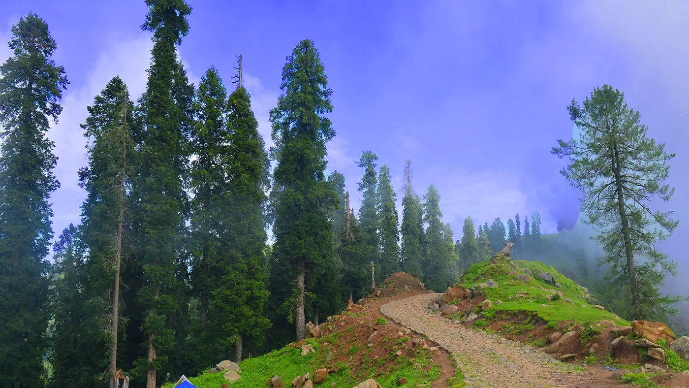
Haveli District, in the hills south of Bagh, is one of the least visited parts of Azad Kashmir, and its tourist places are centred on the small town of Forward Kahuta: high meadows, a border-country lake and the district's highest peak. It's a district for people who already know the more popular parts of AJK and want somewhere quieter, with the trade-off that facilities are basic and much of it sits close to the Line of Control.
Haveli was promoted from a tehsil of Bagh District to a full district in 2009. Most of it sits at around 2,400 metres and above, and it gets heavy, regular snowfall in winter.
| At a glance | |
|---|---|
| Headquarters | Forward Kahuta |
| From Bagh | About 65 km |
| From Rawalakot | About 100 km |
| Typical altitude | Around 2,400 m and higher across the district |
| Highest point | Bedori Top, about 3,727 m |
Forward Kahuta, the district town
Forward Kahuta is Haveli's headquarters, sitting on a plateau above the Betar Nala river, about 65 km from Bagh and 100 km from Rawalakot by road. It's a small town rather than a tourist centre: basic shops, a handful of places to eat, and modest accommodation, functioning mainly as the administrative hub and the practical base for exploring the rest of the district. Historically, the area was known as the Haji Pir bulge, close to the Haji Pir Pass that changed hands in the 1965 war, which gives a sense of how close this district sits to the Line of Control.
Kalamula
Kalamula is one of the district's better-known local viewpoints, reached from Forward Kahuta on the road network through the surrounding villages. It's valued for the same thing much of Haveli offers: open hill and mountain views with very little tourist infrastructure built around them. Treat it as a scenic drive and stop rather than a destination with facilities, and check current road conditions locally before setting out, since much of the district's road network is narrower and less maintained than the main routes through Bagh.
Neel Fari and Bedori: a sentence, then look elsewhere
Two of Haveli's best-known sights deserve their own detailed guides rather than a paragraph each here. Neel Fari is a high alpine lake above Forward Kahuta reached by a drive to the village of Bashan followed by a two to three hour hike; our Neel Fari Lake guide covers the route, camping and the border checks to expect. Bedori Top, at about 3,727 metres, is the district's highest peak and a multi-day trek with army checkpoints near the summit; our Bedori Top trek guide covers that route in full.
Roads and getting around
Haveli's road network is built around Forward Kahuta as the hub, with routes branching out to the district's villages and viewpoints. None of it is fast: expect narrow, winding hill roads, and treat any distance in kilometres as a longer drive in time than the same distance would take on a main highway. A vehicle in good condition and a driver used to hill roads matter more here than in the more developed parts of Azad Kashmir. Bring cash, as reliable card facilities are rare this far from the district's main towns.
Where to stay
Accommodation in Haveli is limited and concentrated in and around Forward Kahuta: simple guesthouses and, in places, PWD or forest rest houses rather than hotels in the usual sense. Book ahead where you can, since options are few, and don't expect anything close to the range of hotels available in Bagh town. If you'd rather stay somewhere with more choice and day-trip into Haveli, Bagh, about 65 km away, is the more comfortable base; see our guide to hotels in Bagh.
Is it safe to visit Haveli?
Haveli sits close to the Line of Control, and parts of the district, including the approach to Bedori Top, involve army checkpoints where you'll need to show your CNIC. Azad Kashmir as a whole saw serious unrest in 2026, with Joint Awami Action Committee protests from June leaving over 50 dead by some rights groups' counts and causing weeks of communications shutdowns; the AJK government asked tourists to stay away for a period. The UK currently advises against all travel within a short distance of the Line of Control and against all but essential travel to the rest of Azad Kashmir. Given Haveli's location, check current UK Foreign, Commonwealth and Development Office advice and recent local news carefully before planning a trip here, and be ready to carry identification at all times.
Frequently asked questions
What is the main town in Haveli district?
Forward Kahuta, the district headquarters, about 65 km from Bagh and 100 km from Rawalakot.
Do I need permission to visit Haveli?
Ordinary tourist visits don't require a special permit for Pakistani nationals, but expect CNIC checks at checkpoints, particularly further towards Bedori Top and the Line of Control. Foreign nationals should check current requirements before travelling.
Is Haveli worth visiting if I've already seen the rest of Azad Kashmir?
For travellers who want quieter, less developed scenery and don't mind basic facilities and longer drives, yes. It's not the place for a first trip to AJK given the limited infrastructure and its location near the Line of Control.
How do I get to Haveli district?
By road via Bagh, about 65 km from Forward Kahuta, or via Rawalakot, about 100 km. There is no airport or rail link in the district.