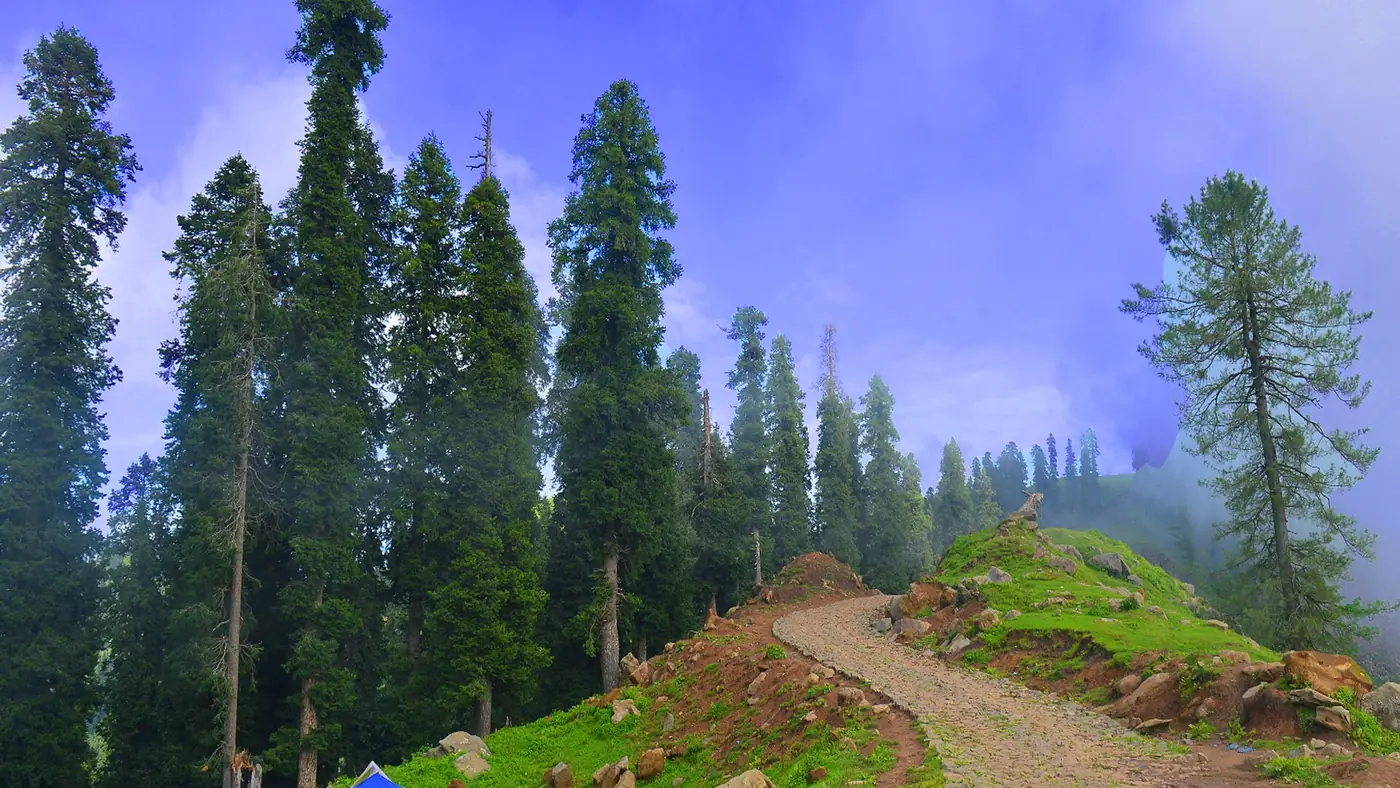
Bedori Top, at about 3,727 metres, is the highest peak in Haveli District, Azad Kashmir, and reaching it is a genuine multi-day trek rather than a day hike. The route runs through army-controlled ground close to the Line of Control, so this is a trip that needs more planning around documents and timing than most walks in Azad Kashmir.
This guide covers the route, how many days to set aside, what the checkpoints involve, and when to go.
| At a glance | |
|---|---|
| Altitude | About 3,727 m (12,228 ft) |
| Starting point | Forward Kahuta area, via Nilsar |
| Duration | Realistically 2 to 3 days |
| Checkpoints | Army posts near the summit; original CNIC required |
| Best months | June to August |
The route
The trek is usually approached from the Forward Kahuta side of Haveli District. From Nilsar, where there's a small pool of water, the path leads on to Kuthnar, with most parties stopping to rest or camp near there or further on near a local ziarat (shrine). This first stage alone takes six to eight hours of walking. From that overnight stop, a further full day is needed to reach the summit and return, meaning most people treat Bedori as a two-night trip rather than something to rush.
Because of the distances and the terrain, this is not a walk to attempt without checking the current route and conditions locally in Forward Kahuta first; paths on this kind of ground shift and can be hard to follow without local knowledge.
How many days to set aside
Realistically, budget two to three days: one to reach the overnight stop near Kuthnar or the ziarat, one for the summit push and return to the same camp, and a third if you need it to get back down and out to Forward Kahuta. Trying to compress this into a single long day is not a sensible plan given the distance, the altitude gained, and the checkpoints along the way.
Checkpoints and documents
There are army posts on the approach to Bedori Top, reflecting the district's position close to the Line of Control. Every trekker needs their original CNIC and should expect to show it at these posts; don't rely on a photocopy or a photo of the document. Build in time for these checks rather than assuming a fast, uninterrupted walk, and be prepared for the route or access to change at short notice depending on the security situation at the time. Confirm current access with the district administration or a local guide in Forward Kahuta before you commit to the trip.
What you see from the top
The reward for the effort is a wide panorama that takes in Azad Kashmir's own hills as well as views across towards Indian-administered Kashmir. This is genuinely border-country trekking, and the views make that plain; treat the trip with the seriousness that implies rather than as an ordinary hill walk.
Best season
June to August is the best window, when the route is clear of snow and the days are long enough for the distances involved. Outside these months, expect snow on the higher ground and a much harder, more technical undertaking that isn't suitable for an ordinary trekking trip.
Guides and preparation
Given the remoteness, the checkpoints and the distances, going with a local guide from Forward Kahuta is strongly worth it rather than optional. A guide who knows the current route and the checkpoint procedures saves real time and avoids the risk of being turned back partway through the trek. Carry enough food and water for the full multi-day trip; there's little to buy once you're past Forward Kahuta.
Is it safe to trek to Bedori Top?
This route runs close to the Line of Control, through army-controlled ground with active checkpoints, which is a serious consideration on top of the ordinary risks of high-altitude trekking. Azad Kashmir also saw serious unrest in 2026, with Joint Awami Action Committee protests from June leaving over 50 dead by some rights groups' counts and long communications shutdowns; the AJK government asked tourists to stay away for a period. The UK currently advises against all travel within a short distance of the Line of Control and against all but essential travel to the rest of Azad Kashmir. Given Bedori Top's location, check current UK Foreign, Commonwealth and Development Office advice, local security conditions and army access rules before planning this trek, and be aware that overseas visitors' own government advice can affect travel insurance.
Frequently asked questions
How high is Bedori Top?
About 3,727 metres (12,228 ft), the highest point in Haveli District.
Can Bedori Top be done as a day trip?
No. Realistically it's a two to three day trip given the distance to the overnight stop and the further day needed for the summit and return.
Do I need a permit to trek Bedori Top?
There's no separate trekking permit as such, but you must carry your original CNIC and expect checks at army posts on the approach, since the route runs close to the Line of Control.
Is a guide necessary?
Not legally required, but strongly recommended. A local guide from Forward Kahuta who knows the current route and checkpoint procedures makes the trip considerably more straightforward.
When is the best time to go?
June to August, when the route is clear of snow. Outside this window the trek becomes a much harder, more technical undertaking.