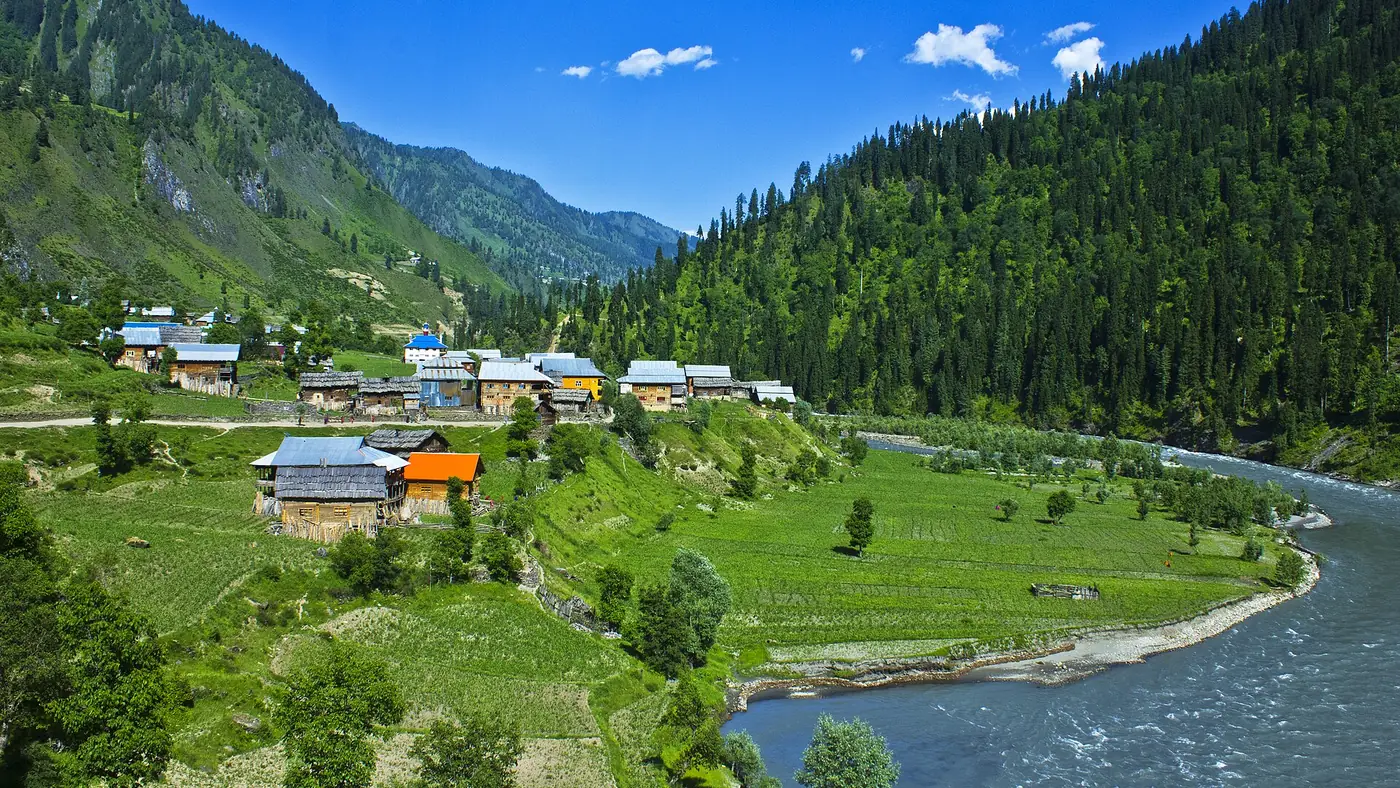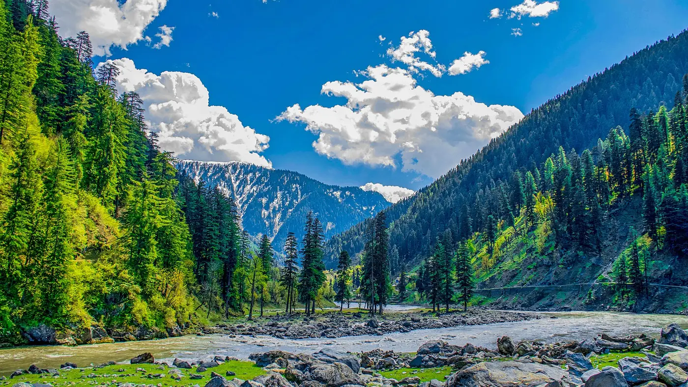
Azad Kashmir is smaller than it looks on a tourist map of northern Pakistan, but its ten districts spread across three divisions with very different characters, from the busy Neelum valley to the quieter hills around Rawalakot and the lakeside towns near Mirpur. This guide sets out how the regions connect, where the main road entry points are, and roughly how long it takes to reach each part from Islamabad.
| At a glance | |
|---|---|
| Divisions | Muzaffarabad, Poonch, Mirpur |
| Districts | 10, across the three divisions |
| Capital | Muzaffarabad |
| Main road entry points | Kohala Bridge and Azad Pattan Bridge |
| Kohala to Islamabad | About 100 km |
The three divisions
Azad Kashmir is organised into three divisions, each built around a different river valley and set of towns.
Muzaffarabad division covers Muzaffarabad, Neelum and Hattian (Jhelum Valley) districts. This is the part most visitors come for: the capital city, the Neelum valley running north along the river of the same name, and the routes toward Leepa and the high jeep tracks around Kel and Sharda. Neelum is the largest district in Azad Kashmir by area, with the valley extending roughly 200 kilometres along the river.
Poonch division covers Bagh, Haveli, Poonch (Rawalakot) and Sudhnuti districts, in the hills south of Muzaffarabad. Rawalakot, the main town, is a common base for Banjosa Lake, Toli Pir and Ganga Choti, and the division as a whole is quieter and less developed for tourism than Muzaffarabad division.
Mirpur division covers Kotli, Mirpur and Bhimber districts, in the south, closest to Punjab. This is Azad Kashmir's more urban, developed corner, built around Mangla Lake and Mirpur city, and it is the entry region for many travellers coming from Lahore rather than Islamabad.
Entry points from Punjab and Islamabad
Two road crossings carry most tourist traffic into Azad Kashmir from the rest of Pakistan.
Kohala Bridge, over the Jhelum River, is the main gateway for anyone travelling from Islamabad or Murree. It sits close to where the borders of Punjab, Khyber Pakhtunkhwa and Azad Kashmir meet, about 100 kilometres from Islamabad and 40 kilometres from Murree, and it is roughly 3 kilometres from Muzaffarabad on the Kashmir side. This is the route most visitors use for Muzaffarabad, the Neelum valley and Leepa.
Azad Pattan Bridge, further south on the Jhelum, connects Islamabad to Rawalakot, Bagh and Pallandri, and is the more direct route if Poonch division rather than Muzaffarabad is your destination.
Travellers coming from Lahore into Mirpur division, for Mangla Lake or Mirpur city, generally cross further south, closer to the Punjab border near Bhimber, rather than via Kohala or Azad Pattan.
Roughly how long it takes
Drive times below are for the road itself in reasonable conditions; add time for stops, and expect longer during peak season traffic on the Islamabad–Muzaffarabad road.
| From Islamabad to | Rough drive time |
|---|---|
| Muzaffarabad | About 3.5 to 4 hours |
| Rawalakot (via Azad Pattan) | About 4 to 5 hours |
| Kel or Sharda, upper Neelum valley | A further 4 to 6 hours beyond Muzaffarabad |
| Mirpur / Mangla | About 3 hours, largely via Punjab roads |
These are estimates rather than fixed times, since road conditions in the Neelum valley in particular change with landslides and repair work through the year. Check current road status locally before a long drive into the upper valley.
Planning a route around the regions
Most first-time visitors base themselves in Muzaffarabad division, since it holds the largest concentration of well-known sights: the Neelum valley, Pir Chinasi, and the routes toward Leepa. A first trip that also wants to see Rawalakot, Banjosa Lake or Toli Pir needs either a second base in Poonch division or a longer loop, since the road between Muzaffarabad and Rawalakot is not a short cross-connection.
Mirpur division works well as a separate, shorter trip, particularly for travellers from Lahore, since it doesn't require the longer drive up to Muzaffarabad at all.
Our Kashmir guide has more detail on choosing a base and building an itinerary around these regions, and our travel guide covers planning across northern Pakistan more broadly.
Frequently asked questions
How many districts does Azad Kashmir have?
Ten, split across three divisions: Muzaffarabad (Muzaffarabad, Neelum, Hattian), Poonch (Bagh, Haveli, Poonch, Sudhnuti) and Mirpur (Kotli, Mirpur, Bhimber).
What is the main road route from Islamabad into Azad Kashmir?
Via Murree and the Kohala Bridge, which is the standard entry point for Muzaffarabad and the Neelum valley. Azad Pattan Bridge, further south, is the route to Rawalakot and Poonch division instead.
How far is Muzaffarabad from Islamabad?
Around 3.5 to 4 hours by road in normal conditions, a distance of roughly 130 to 140 kilometres depending on the exact route.
Can I visit both the Neelum valley and Rawalakot on one trip?
Yes, but it needs planning, since Muzaffarabad and Rawalakot are in different divisions without a direct short connecting road. Most visitors treat them as separate legs of a longer trip rather than day trips from a single base.
Is all of Azad Kashmir open to tourists?
No. Areas close to the Line of Control, including parts of the upper Neelum valley and the area around Baghsar Fort near Bhimber, carry current government advisories against travel. See our guide on is Azad Kashmir safe to travel for the current picture before finalising a route.