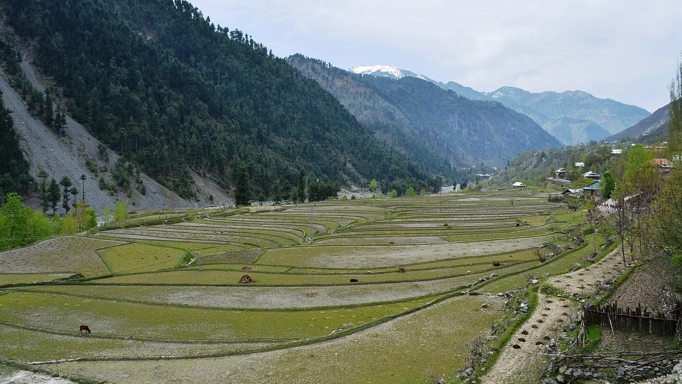
Zalzal Lake sits near Chikar in Azad Kashmir's Jhelum Valley, formed when the October 2005 earthquake brought a mountainside down and blocked a stream, drowning the villages in its path. "Zalzal" means earthquake in Urdu, and the lake carries the name plainly, as a place formed by disaster rather than by nature working slowly.
This guide covers how the lake came to exist, what a visit involves today, and how to see it without treating a mass grave as a photo backdrop.
| At a glance | |
|---|---|
| Location | Near Chikar, Jhelum Valley, Hattian Bala district, Azad Kashmir |
| Formed | October 2005, by a landslide triggered by the Kashmir earthquake |
| Approximate length | About 3 km |
| Access from Muzaffarabad | Via Chikar, roughly 46 km, then a walk down from the road |
| Final approach | On foot, roughly 30 to 50 minutes downhill to the water |
| Activities | Informal boating, arranged locally |
| Best time to visit | May to October; the walk down is harder in wet or icy conditions |
How Zalzal Lake formed
On 8 October 2005 a magnitude 7.6 earthquake struck the region, and the Muzaffarabad–Hattian Bala area saw some of the worst landsliding anywhere along its length. Near Chikar, a mountainside collapsed onto the valley below, burying the villages of Curli, Bhat Shir, Lodhabad and Padder, between Chikar and Bani Hafiz. The landslide debris blocked the stream running through the valley, and the water backed up behind it to form the lake that stands there now.
Estimates of how many people died there vary widely between accounts, from a little over a thousand to several thousand, and no figure should be treated as settled. What is certain is that the lake sits on top of villages that no longer exist, and that is worth remembering before you arrive with the same expectations you would bring to any other lake in the hills.
Getting to Zalzal Lake
The lake is reached via Chikar, a hill town roughly 46 km from Muzaffarabad by the side road that branches off the main Jhelum Valley road near Dhanni Baqallan. From the road above the lake, the final approach is on foot: a walking track down the hillside that takes roughly 30 to 50 minutes each way, depending on fitness and conditions. There is no vehicle access to the water's edge.
Wear proper shoes rather than sandals, carry water, and remember that the walk back up is the harder half of the trip. Our wider guide to the Jhelum Valley from Muzaffarabad to Chakothi covers the drive to Chikar and how to fit the lake into a longer day along the valley.
What there is to see and do
Zalzal Lake is a long, narrow body of still water held between steep, forested hillsides, roughly three kilometres in length. Local people run informal boating on the lake, usually simple rowing boats with a seating area set up on the bank, rather than any organised operator with fixed hours or prices. There are no facilities beyond what local families have put together to serve visitors, so bring your own food and water rather than expect to buy much on site.
Visiting respectfully
This is a place where people died, not a scenic backdrop that happens to have a dramatic story attached. A few things to keep in mind:
- Treat the site with the same restraint you would show at any place where lives were lost. Loud music, staged photography and treating the lake purely as a stunt location sit badly with what happened here.
- Ask before photographing local people, particularly anyone connected to the villages that were lost.
- Stay on the paths. The slopes above the lake are the same unstable ground that produced the original landslide, and wandering off the track adds risk for no good reason.
- Take your rubbish back out with you. There is no waste collection at the lake.
Is it worth the walk?
Yes, if you are already in the Jhelum Valley or planning a Chikar side trip and are comfortable with an unassisted walk down and back up a hillside. It suits visitors with reasonable fitness more than families with small children or older relatives, given the walking involved and the lack of facilities. If you are short on time, the drive to Chikar itself, with its views over the valley, is worthwhile even without adding the walk to the lake.
Frequently asked questions
How was Zalzal Lake formed?
A landslide triggered by the October 2005 Kashmir earthquake blocked a stream near Chikar, and the water that backed up behind the debris formed the lake.
How do you get to Zalzal Lake?
Drive to Chikar via the side road off the main Jhelum Valley road, then walk down from the road to the water, a walk of roughly 30 to 50 minutes each way.
Is boating available at Zalzal Lake?
Yes, informally. Local families offer simple rowing boats and a seating area on the bank, without fixed hours or published prices.
How many people died where Zalzal Lake now stands?
Accounts vary considerably, from a little over a thousand to several thousand. Four villages, Curli, Bhat Shir, Lodhabad and Padder, were buried by the landslide that formed the lake.
Is Zalzal Lake suitable for children or older visitors?
The walk down to the water is the main obstacle: it is unassisted, can be steep in places, and there are no facilities at the site, so it suits visitors with reasonable fitness better than young children or older relatives.