A Swat tourist map is really one long road, from Chakdara at the valley mouth to Mahodand Lake at its head, a distance of roughly 175 to 180 km. Almost every tourist stop sits on or just off this single route, so a Swat trip is really a question of how far up the valley you go and where you turn off.
This guide lays out that route stop by stop, with the distance and typical drive time for each leg, plus the main side turns to Malam Jabba and the Utror and Gabral valleys. Road conditions and traffic change these times day to day, so use them as a planning guide rather than a promise.
| At a glance | |
|---|---|
| Full route | Chakdara to Mahodand Lake, about 175 to 180 km |
| Chakdara to Mingora | About 40 km |
| Mingora to Kalam | About 95 to 100 km |
| Kalam to Mahodand | About 35 km, by jeep only |
| Side trip: Mingora to Malam Jabba | About 40 to 45 km |
The main route, stop by stop
- Chakdara. Where the Swat Motorway (M-16) from Islamabad ends and the valley road (N-95) begins. This is the gateway to Swat and a natural point to fill up and check road conditions further up.
- Chakdara to Mingora, about 40 km. A settled, two-lane road through Thana and smaller towns. Traffic through the built-up stretches can slow this leg down at busy times.
- Mingora and Saidu Sharif. Swat's main city and its twin town, home to the Swat Museum, Butkara stupa and most of the valley's hotels and shops. A hub for both the road up-valley and the side road to Malam Jabba.
- Mingora to Madyan, roughly 55 to 60 km. The road follows the Swat River, climbing gently and passing Khwazakhela and smaller riverside villages.
- Madyan to Bahrain, a short further stretch. Together, Mingora to Bahrain is around 60 km. Both towns are common overnight stops, known for riverside guesthouses and trout.
- Bahrain to Kalam, roughly 35 to 40 km. This is the slowest, roughest stretch of the main road, running through narrower sections of the valley; allow more time here than the distance alone suggests.
- Kalam. The practical end of the paved main road and the base for jeep trips further up the valley.
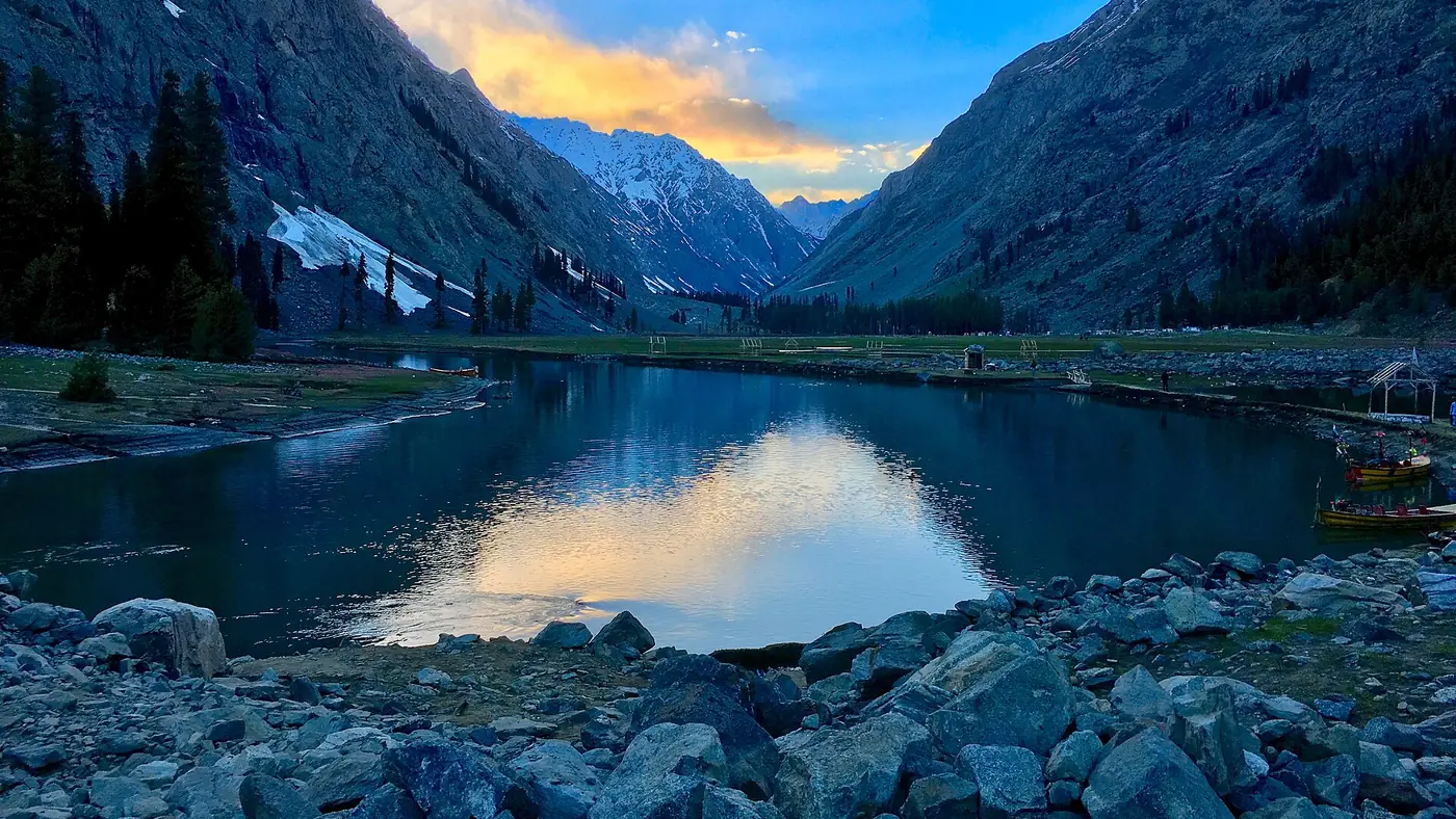
- Kalam to Mahodand Lake, about 35 km by jeep. The road runs through Ushu forest to Matiltan, where it turns rough: a narrow track with river crossings that makes the last stretch far slower than the distance implies.
Side turns off the main route
- Mingora to Malam Jabba, about 40 to 45 km. A separate road climbing east out of Mingora to Swat's ski resort and viewpoint, usually just over an hour each way depending on traffic through town.
- Kalam to Utror, about 16 km by jeep. A side valley reached by a rough road that takes roughly an hour, and the starting point for the walk to Kundol Lake and other high lakes.
- Utror to Gabral, a further stretch beyond Utror. The road continues and worsens past Utror towards Gabral village, deeper into the mountains.
How to use this to plan your days
Treat the valley as a ladder of overnight bases: Mingora, then Madyan or Bahrain, then Kalam, with Mahodand and the Utror side valleys as day trips by jeep from Kalam. Trying to reach Mahodand and back from Mingora in a single day is possible but long, so most groups base themselves in Kalam for at least a night before the lake. Our 7-day Swat itinerary builds a full week around this structure, and the Swat itinerary for 3 days shows how far a shorter trip can realistically go.
For the road itself, our guide to Islamabad to Swat by road covers the motorway approach into Chakdara in detail, including tolls and fuel stops.
What this map doesn't cover
This is the main valley spine. It leaves out smaller side roads to individual viewpoints, waterfalls and villages that branch off it, most of which are short detours rather than separate legs of a journey. It also doesn't replace a proper road map or offline maps app for navigation once you're actually driving; signal is patchy beyond Bahrain, so download maps for the upper valley before you set off.
Frequently asked questions
How far is it from Chakdara to Kalam?
About 135 km, typically covered in four to five hours depending on traffic through Mingora and the condition of the road beyond Bahrain.
How long does it take to reach Mahodand Lake from Kalam?
The distance is only about 35 km, but the jeep track beyond Matiltan is rough with river crossings, so the drive can take one and a half to two hours or more each way.
Is the road from Mingora to Kalam paved the whole way?
Yes, it is a paved valley road, but it narrows and roughens in stretches, particularly between Bahrain and Kalam, so allow more time than the distance suggests.
Do I need a 4x4 for this whole route?
No. A normal car can manage Chakdara to Kalam in reasonable conditions. Beyond Kalam, to Mahodand, Utror and Gabral, you need a jeep or a similar high-clearance vehicle, usually hired locally.
Is Swat safe for overseas visitors?
Pakistani families still visit Swat, but on 2 August 2026 a suicide bombing at the Kabal police station killed 17 people, and as of September 2026 the UK government advises against all travel to Swat. If you hold a foreign passport, check your own government's advice before you go, because travelling against it can void your insurance. Everyone should check local news and current police advice before setting out.