Ondra Poygah is a stone stairway of 1,655 steps that climbs the hillside above Gulmit, in upper Hunza, to the ruins of Ondra fort. Poygah means stairs in Wakhi, and the climb is often described as the longest stairway in Pakistan. Most fit walkers reach the top in 45 minutes to an hour, for a view over Attabad Lake, the Passu Cones and the whole of lower Gojal.
This guide covers the stairway itself, what is at the top, how long to allow and how to make the climb comfortably.
| At a glance | |
|---|---|
| Where | Above Gulmit, upper Hunza |
| Steps | 1,655 |
| Route length | About 1.3 km |
| Time up | 45 minutes to an hour |
| Time down | 30 to 40 minutes |
| Built | Over about 60 days, winter 2020–21, by the community |
| Starting point | Gulmit's old polo ground |
| View | Attabad Lake, Passu Cones, lower Gojal |
What is Ondra Poygah?
Ondra Poygah is a purpose-built stone staircase, not an old trail. It was constructed by the people of Gulmit over roughly 60 days during the winter of 2020–21, entirely as a community project with no outside funding, to give a proper route up to the ruins of Ondra fort on the hill above the village. The 1,655 steps climb a route of about 1.3 km, and the project is generally described as the longest stairway of its kind in Pakistan.
Ondra fort itself is older, thought to date from around the 16th century, when it stood as a lookout point guarding the trade routes and approaches to Gulmit. Little of the fort survives beyond broken walls and the outline of watchtowers, and the ruins are secondary to the reason most people climb: the view from the top.
The route up
The stairway starts at Gulmit's old polo ground, in the middle of the village, and climbs steadily through the settlement before rising onto the open hillside above it. The steps make the footing straightforward throughout, so this is a climb of stamina rather than technical difficulty: no scrambling, no exposed sections, just a steep, sustained flight of stairs with the odd landing to catch your breath.
Fit walkers reach the top in around 45 minutes; most visitors take a little over an hour with stops. It is steep enough to raise your heart rate quickly, particularly in the lower half through the village, so a steady pace beats trying to hurry it.
- Go in the early morning or late afternoon. Midday sun on the open, south-facing hillside makes the climb far harder work in summer.
- Carry water. There is nothing to buy anywhere on the route.
- Wear shoes with grip, even though the steps make footing easier than a dirt trail would.
Coming down: the Kamaris option
Most walkers descend the same stairway they climbed, which takes 30 to 40 minutes. An alternative is to come down through the neighbouring village of Kamaris, on a gentler path that avoids the steepest sections of the direct stairway. It takes longer but is kinder on the knees, and it gives a look at a second Gojal village on the way back to Gulmit.
What you see from the top
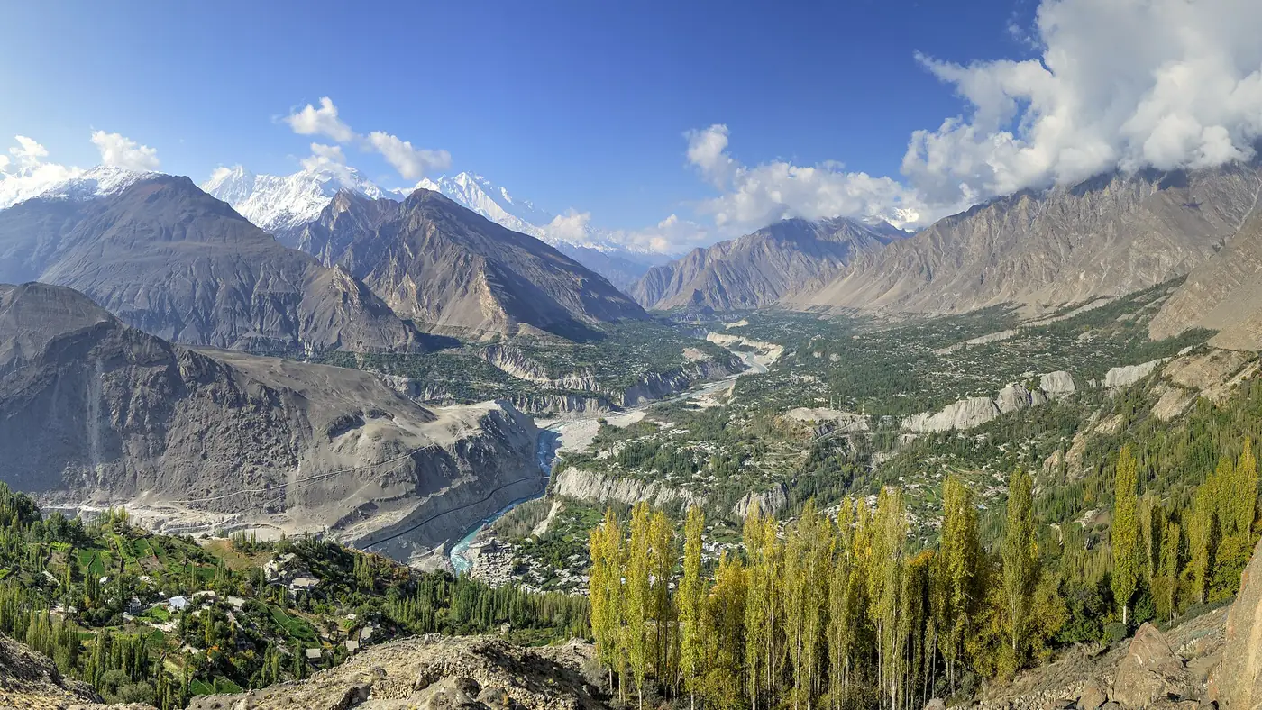
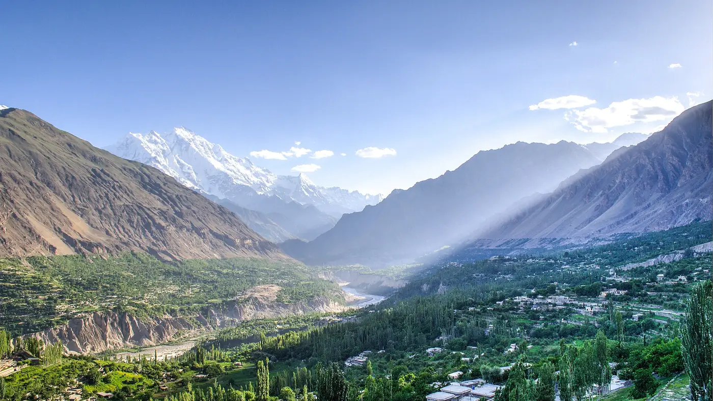
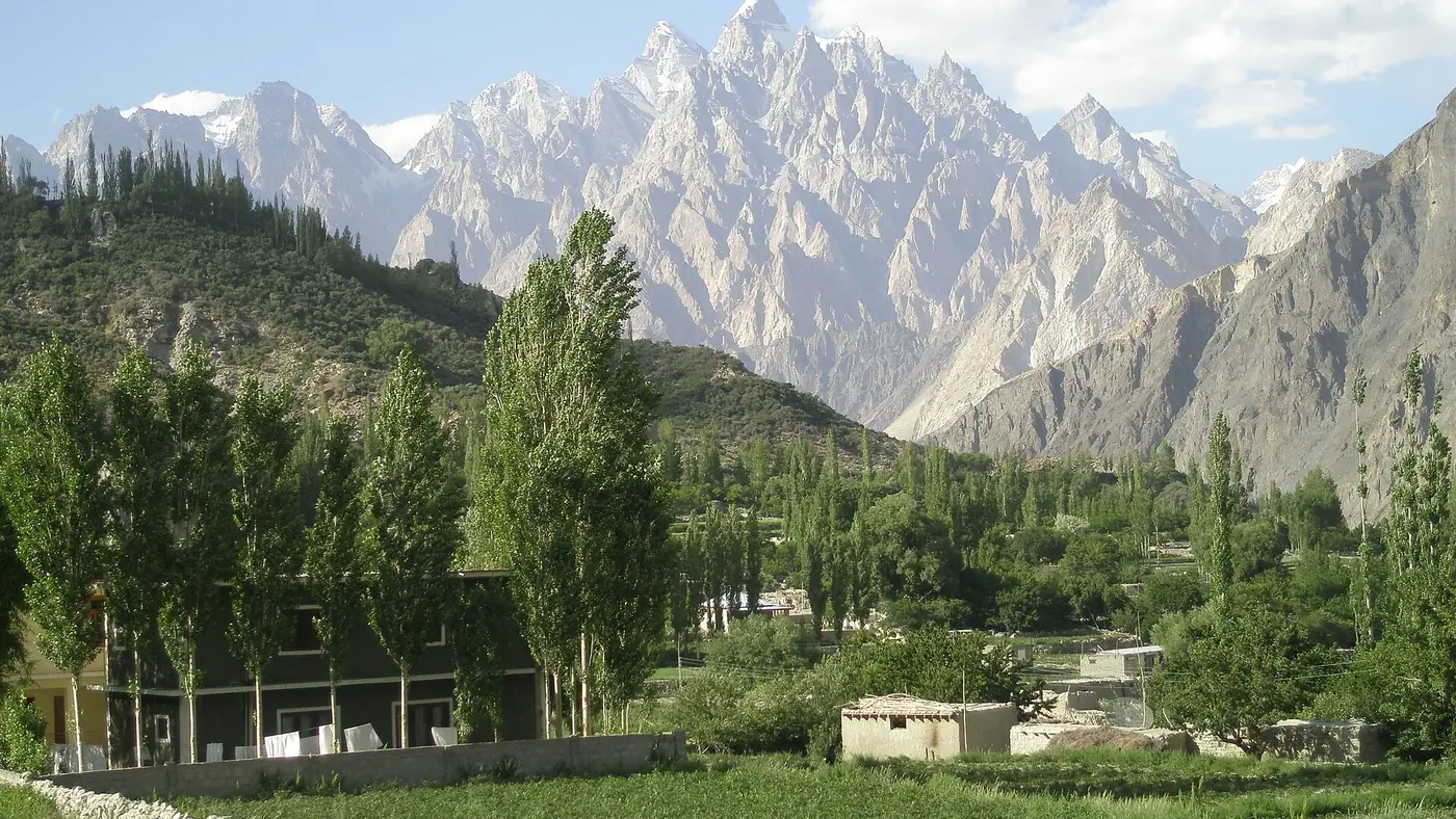
The reason to climb Ondra Poygah is the panorama, not the ruins. From the fort site, Attabad Lake stretches away to the south towards Shishkat, the Passu Cones rise to the north beyond Gulmit, and the Ghulkin glacier is visible coming down from the mountains on the far side of the valley. Together, it is one of the widest views over lower Gojal available without a multi-day trek.
The fort ruins themselves are modest: broken stone walls and the footprint of what were once watchtowers, enough to show where the fort stood without offering much to explore in detail. Treat the climb as a viewpoint hike with a historical footnote rather than a heritage site visit.
When to go
April to October covers the walking season, with the clearest air and least chance of rain typically in autumn. Early morning gives the calmest light over Attabad Lake and the coolest conditions for the climb; late afternoon gives warmer light on the Passu Cones for photographs, at the cost of a warmer ascent.
Winter is possible on a clear day but colder and less rewarding, since haze and low winter light reduce the long views the climb is built around.
Is Ondra Poygah worth the climb?
Yes, for anyone in reasonable walking fitness spending time in Gulmit. It is one of the best-value viewpoints in upper Hunza for the effort: an hour of steady climbing on a well-built stairway, ending in one of the widest panoramas over Gojal available without a proper trek.
It suits fit adults and older children more than young families, since there is no way to shorten the climb once you start and no shade on the open hillside. Anyone with knee problems should consider the effort of the descent as carefully as the climb up. For the rest of what Gulmit offers, our guide to things to do in Gulmit covers the old village, the museum and the walks nearby, and our Attabad Lake guide covers the lake this climb looks down on.
Frequently asked questions
How many steps are there on Ondra Poygah?
1,655 stone steps, climbing about 1.3 km from Gulmit's old polo ground to the ruins of Ondra fort.
How long does it take to climb Ondra Poygah?
Most walkers take 45 minutes to an hour going up, and 30 to 40 minutes coming back down. Allow around two hours in total with time at the top.
Who built Ondra Poygah?
The community of Gulmit built the stairway themselves, over about 60 days during the winter of 2020–21, without outside funding, to reach the ruins of Ondra fort on the hill above the village.
What can you see from the top of Ondra Poygah?
Attabad Lake to the south, the Passu Cones to the north, and the Ghulkin glacier and the rest of lower Gojal spread out below.
Is Ondra Poygah difficult?
It is steep and sustained, so it takes fitness rather than skill. The steps make footing straightforward, with no scrambling or exposed sections, but there is no way to shorten the climb once you begin.