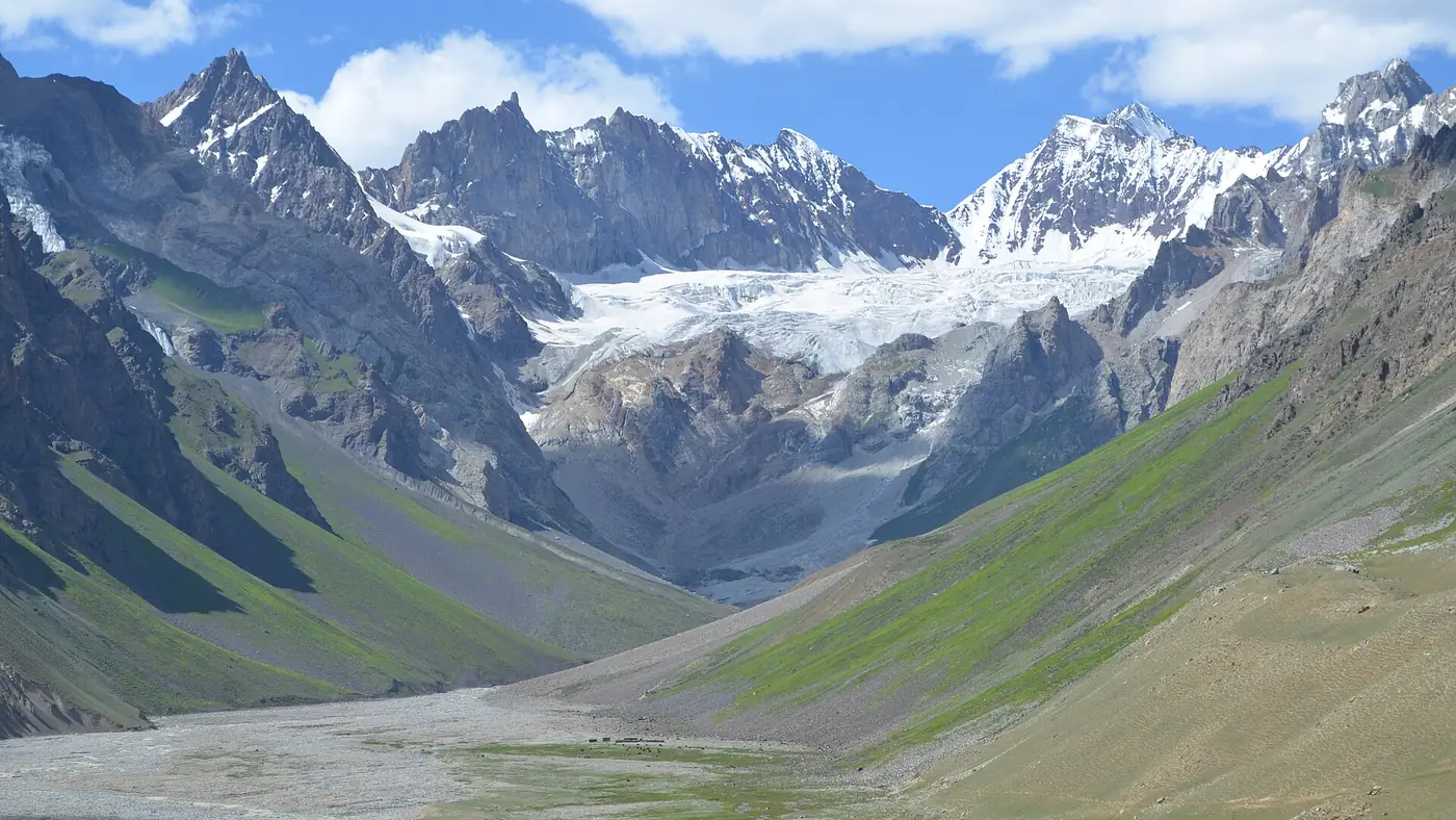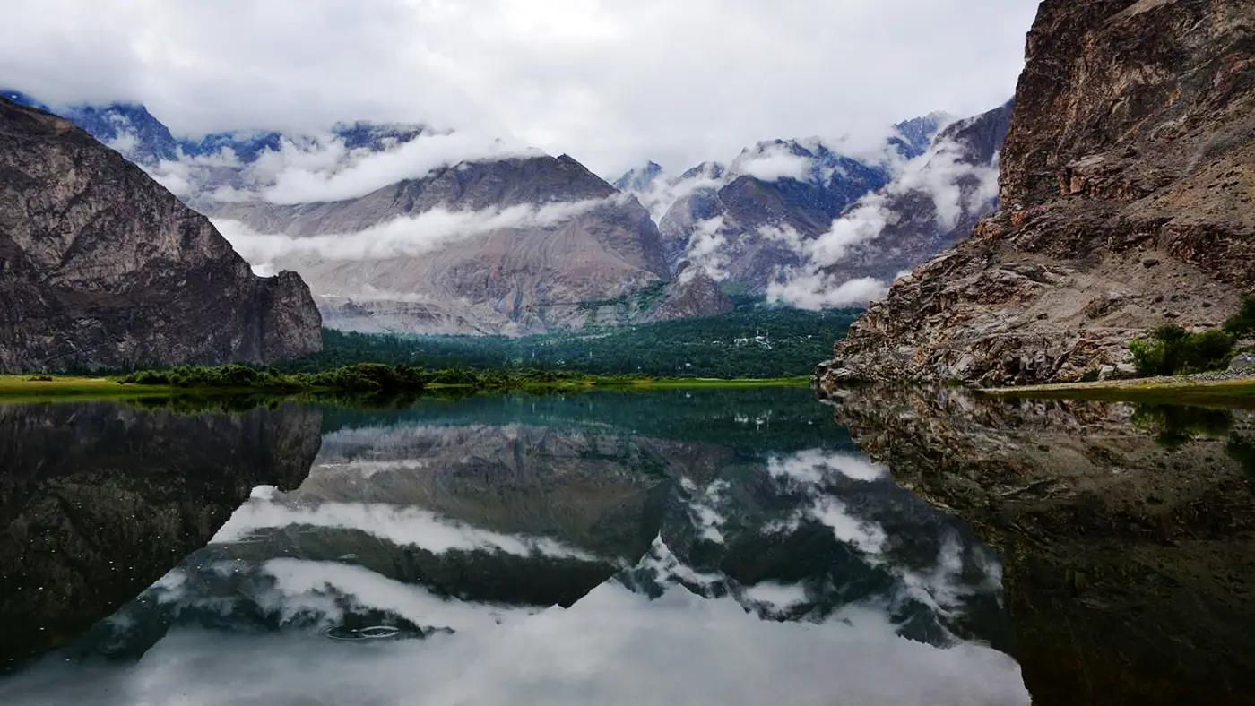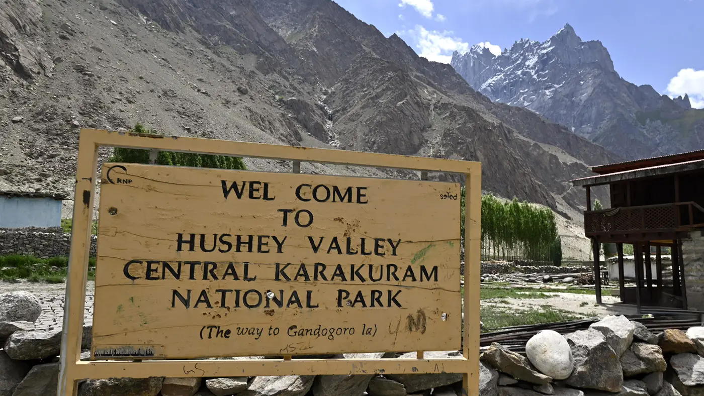
Masherbrum stands 7,821 metres above sea level in Ghanche district, the ninth-highest peak in Pakistan and the world's 22nd-highest mountain. It was the first Karakoram peak ever surveyed, in 1856, and for decades was known by the survey name K1 rather than its local one. Today it is best seen from the Hushe valley, whose villages sit almost directly below its southern face.
This guide covers Masherbrum's height and ranking, why it was once called K1, how it was first climbed, and where in the Hushe valley to see it without a multi-day trek.
| At a glance | |
|---|---|
| Height | 7,821 m |
| Ranking | 22nd highest in the world; 9th highest in Pakistan |
| Range | Masherbrum Mountains, Karakoram |
| District | Ghanche, Gilgit-Baltistan |
| Old survey name | K1 |
| First ascent | 1960, American-Pakistani expedition |
| Normal route | Up the Hushe valley from the south |
| Best viewpoints | Hushe village, and higher points on the Masherbrum base camp trail |
How high is Masherbrum, and where does it rank?
Masherbrum's summit is 7,821 metres, which makes it the ninth-highest mountain entirely within Pakistan and the 22nd-highest in the world. It sits in its own small range, the Masherbrum Mountains, on the southern side of the Baltoro system, separating the Hushe valley from the Baltoro glacier and K2 to the north.
It is not one of Pakistan's five 8,000-metre peaks, but it is taller than better-known names like Rakaposhi and close in height to Nanga Parbat's lower shoulders, and its position at the head of an inhabited valley makes it far easier to see up close than most Karakoram giants.
Why Masherbrum was once called K1
In 1856 the British surveyor Thomas Montgomerie was working on the Great Trigonometrical Survey from a station near Srinagar when he sighted and sketched a group of high peaks in the Karakoram, numbering them K1 to K6 as he recorded them, "K" for Karakoram. The second peak he logged, K2, kept its survey name because no accepted local name for it existed. The first one, K1, did have a local name, Masherbrum, and that name took over as the mountain became better known.
Fanny Bullock Workman and her husband William reconnoitred the mountain in 1911, and the first proper climbing attempt came in 1938, when a British party led by James Waller, with the Sherpa climber Dawa Thondup and J. O. M. Roberts among them, tried the peak from the south and were turned back.
The first ascent, and the climbs that followed
Masherbrum was first climbed in 1960 by George Bell and Willi Unsoeld, on an American-Pakistani expedition led by Nick Clinch. Two days later, Clinch himself and the Pakistani climber Jawed Akhter also reached the summit, by the same south-west face route used by the valley's villages as their backdrop.
A separate, slightly lower south-west summit was not climbed until 1981, when a Polish team reached it, though the ascent ended badly: two of the three climbers who summited died during the descent. Masherbrum has never drawn the crowds that gather for K2 or the 8,000-metre peaks nearby, and it remains a serious mountaineering objective rather than a commercial one.
Where to see Masherbrum from the Hushe valley
You do not need to climb, or even trek far, to get a good look at Masherbrum. The Hushe valley runs south from the mountain's base, and the jeep road up it from Khaplu, through Saling, Machulu and Kande to Hushe village, keeps the peak in view for long stretches on a clear day.
- Hushe village, a little over 3,000 metres up and the last village in the valley, has the closest roadside view: Masherbrum's south face fills the head of the valley from here.
- Machulu, roughly halfway up the jeep road, gives a more distant but still clear view over its orchard terraces, and is an easy stop even for visitors not continuing to Hushe.
- The Masherbrum base camp trail, which climbs from Hushe past Barbisan to a base camp at around 4,200 metres, brings you close enough to see the glaciers below the south face directly, but this is a multi-day trek with camping, not a day walk.
None of these viewpoints require a permit beyond the normal entry arrangements for the valley, and a jeep and a driver from Khaplu are enough to reach Hushe and back in a long day.
Is it worth the trip just to see the mountain?
For most visitors to Ghanche, yes, as part of a wider trip rather than a special journey on its own. Combined with Khaplu's palace and mosque, a half-day or full-day run up to Hushe adds one of the best close-up mountain views in Baltistan without technical trekking. If your interest runs to actually reaching base camp, treat it as a proper multi-day trek with a guide and the right season, not an extension of a day trip.
Frequently asked questions
How tall is Masherbrum?
Masherbrum is 7,821 metres high, making it the ninth-highest mountain in Pakistan and the 22nd-highest in the world.
Why is Masherbrum also called K1?
British surveyor Thomas Montgomerie numbered it K1 in 1856 as the first Karakoram peak he recorded during the Great Trigonometrical Survey. Unlike K2, which kept its survey name, K1 reverted to its local name, Masherbrum, over time.
Who first climbed Masherbrum?
Americans George Bell and Willi Unsoeld made the first ascent in 1960, on an American-Pakistani expedition led by Nick Clinch. Clinch and Pakistani climber Jawed Akhter summited two days later by the same route.
Where is the best place to see Masherbrum without trekking?
Hushe village, at the head of the Hushe valley and reachable by jeep from Khaplu in about two and a half to three hours, gives the closest roadside view of the mountain's south face.
Is Masherbrum one of Pakistan's 8,000-metre peaks?
No. At 7,821 metres it falls short of the 8,000-metre threshold, but it still ranks among Pakistan's ten highest mountains and is a serious technical climb.