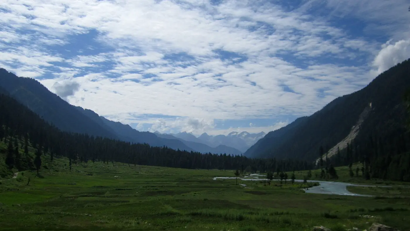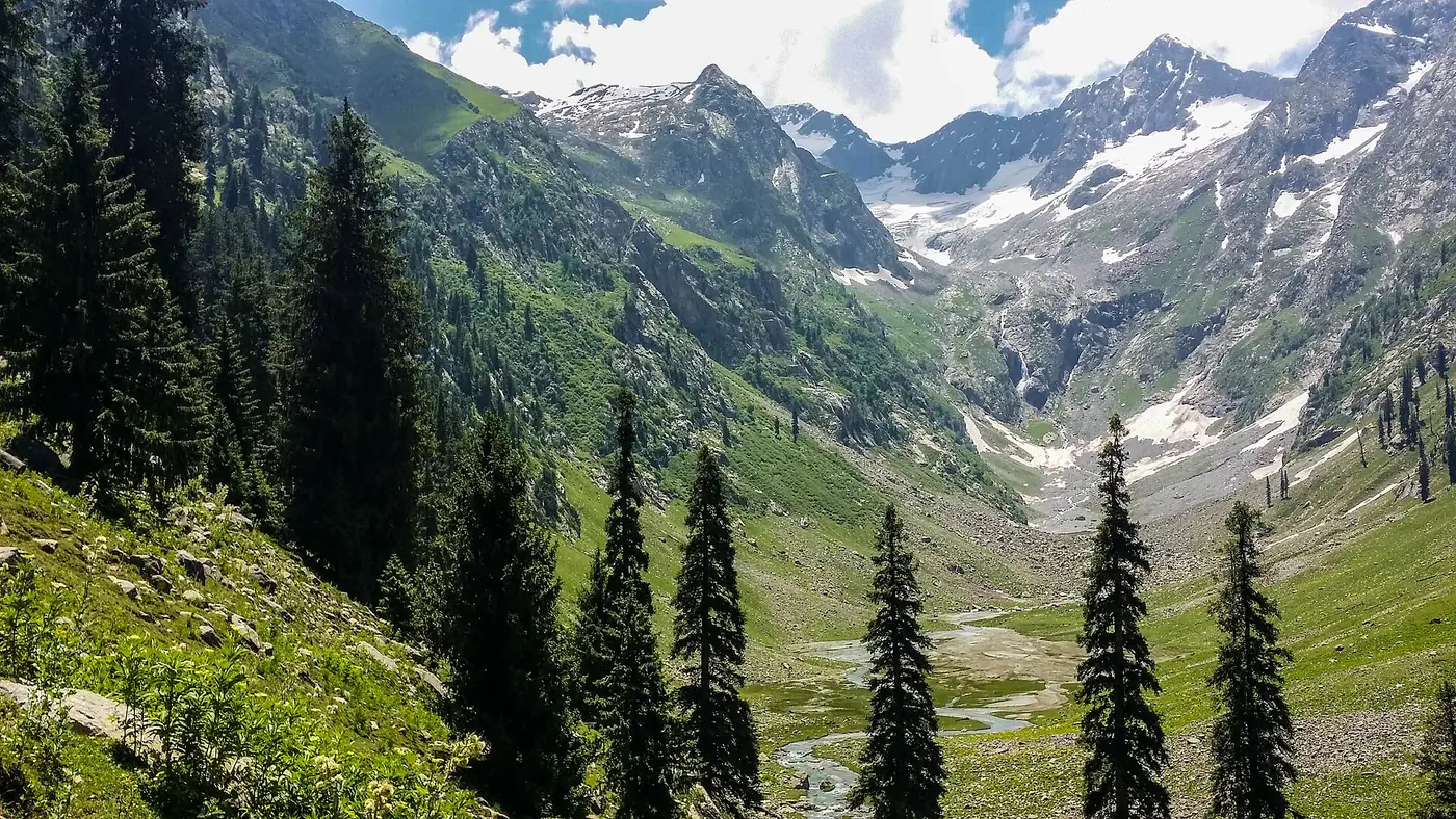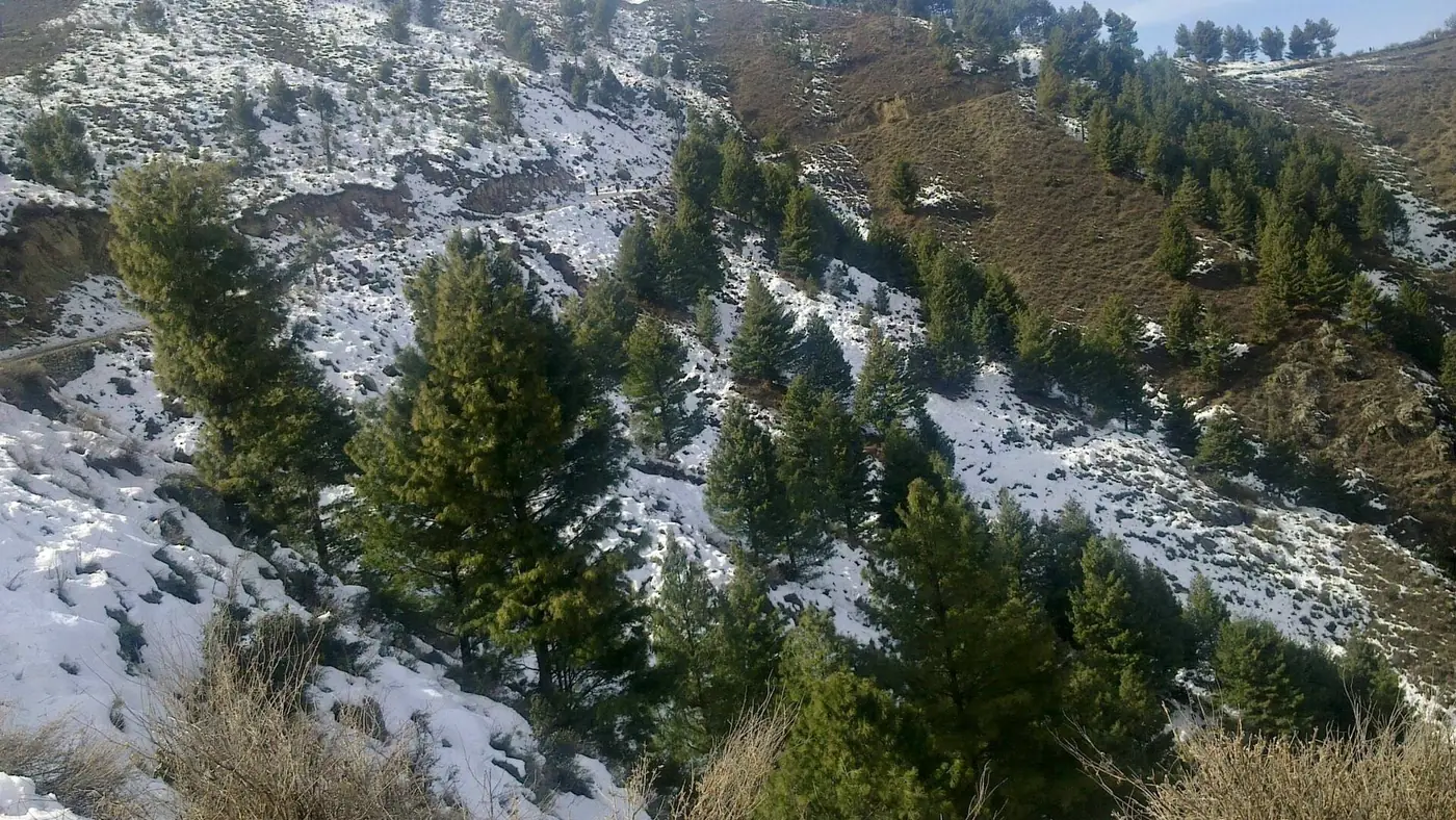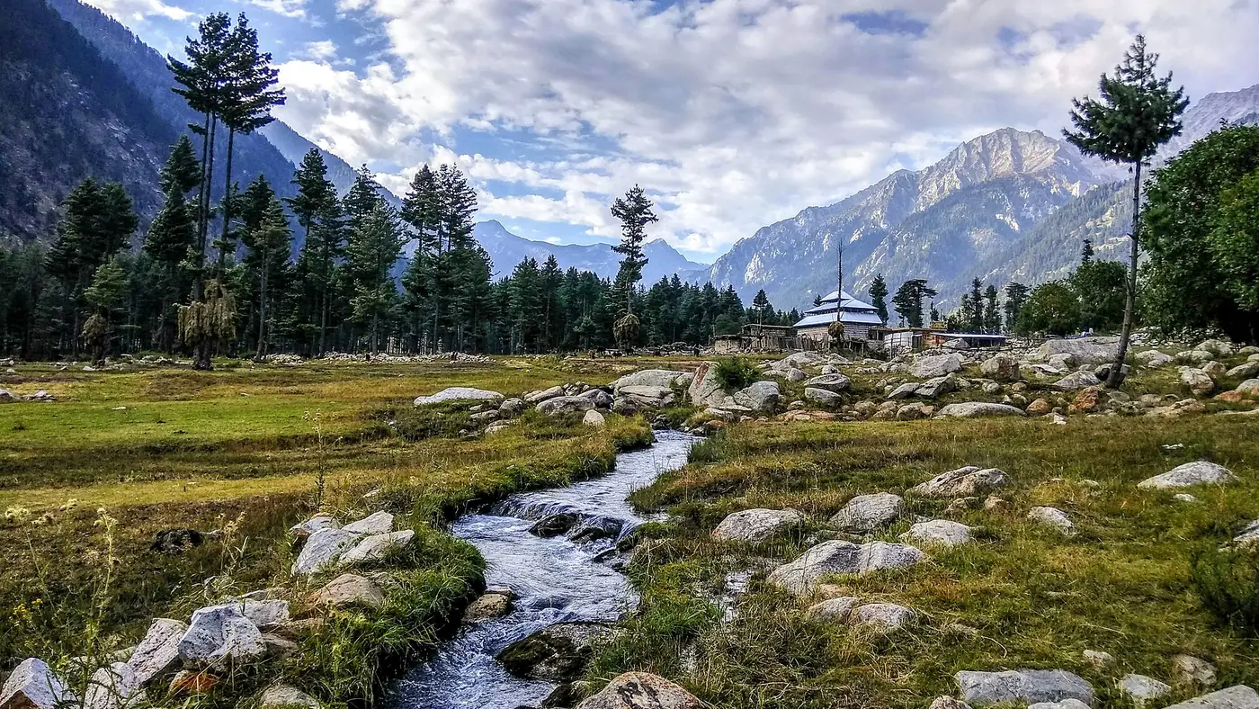
The Kumrat road is open in 2026 but slow and in poor condition. From the N-45 near Dir to Thal, about 75 to 80 km of narrow valley road mixes old tarmac, gravel and unfinished reconstruction, and takes 3.5 to 4.5 hours; an ordinary car can reach Thal in dry weather. Beyond Thal the road becomes a rocky jeep track with stream crossings, suitable only for 4x4s. Rain is the big variable: landslides, floods and a bridge collapse have closed the road several times since 2024.
This guide goes stretch by stretch, lists the recent closures, and explains which vehicle suits which part. For the whole drive from Islamabad, including the motorways, see our Islamabad to Kumrat route guide.
| At a glance | Surface | Time | Vehicle |
|---|---|---|---|
| Chakdara to the Kumrat turn, about 100 km | Paved N-45, busy | About 3 hours | Any car |
| Turn-off to Thal, about 75 to 80 km | Broken tarmac, gravel, road works | 3.5 to 4.5 hours | Any car in dry weather, driven slowly |
| Thal to the forest camps and Kala Chashma | Unpaved track, stream crossings | 1 to 2 hours | 4x4 only |
| Thal to Taki Top, for Jahaz Banda, about 16 km | Unpaved track | 1 to 1.5 hours | 4x4 only |
| Over the Badgoi Pass to Utror | Unpaved, steep | 3 to 4 hours | High-clearance 4x4, summer only |
Where the Kumrat road starts
The Kumrat road leaves the N-45 at Chutiatan, roughly 10 km short of Dir town, at a gateway known as Bab-e-Kumrat. From there it follows the Panjkora River north: about 35 km to Sheringal, then through Patrak, Biyar, Barikot and Kalkot to Thal, the last village. From Patrak upwards you are in Dir Kohistan, where most people speak Gawri rather than Pashto.
The road was surfaced with asphalt in 2006, with Asian Development Bank funding. Nearly two decades of floods, landslides and heavy trucks have broken it up since, and much of what you drive on now is a patchwork.
Dir to Thal: what the road is like now
Expect every kind of surface in one drive. There are stretches of old tarmac where you can make reasonable progress, long sections of gravel and potholes, diversions around washed-out edges and works, and single-lane places where one vehicle waits for another. The road runs above the river for much of the way, with drops on one side and loose slopes on the other.
The rebuilding of the upper part has dragged on for years. The 44 km from Patrak to Thal was put into the provincial development programme as a PKR 3 billion project, and its groundbreaking was performed by the chief minister in 2020, again in 2021, and a third time in November 2022. In spring 2026 residents were still complaining that the work had dragged on for a decade, and in June 2026 they described the road to Kumrat as dilapidated.
In practice that means:
- 3.5 to 4.5 hours from the turn-off to Thal in dry weather, longer at Eid or after rain.
- Low gears and low speed on gravel, where loose stones and blind bends catch people out.
- Dust in dry spells and mud after rain, with standing water on the broken sections.
- Heavy traffic at Eid, when around 2,000 vehicles a day have been reported entering the valley.
Recent closures on the Kumrat road
The road has failed often enough in the past three seasons that any trip needs a spare day:
- May 2024: a large section of the road caved in near Daba after heavy rain, and tourists were stranded in the valley until it was patched. Cars and jeeps could squeeze past the damaged section.
- August 2024: flash floods washed away about 400 metres of road near Barikot and cut it again at Galun. Three bridges in the Makrala and Thal areas were swept away, and around 250 stranded tourists were brought out. For a time, local traffic was diverted over the rough Badgoi route to Swat.
- May 2025: a landslide blocked the main road, again trapping tourists in the valley.
- November 2025: the bridge at Thal, near the old wooden mosque, collapsed under a heavy truck, injuring two people and cutting road access into the valley.
There is one more reason to take the weather seriously. Kumrat's glaciers feed its streams, and in June 2026 it emerged that 14 flood early-warning stations installed in the valley's glaciated areas in 2025 had stopped working after their equipment was stolen. Watch the forecast yourself rather than relying on a warning reaching you.
Beyond Thal: the jeep track
Thal is the end of the road for ordinary cars. The track north into the forest is unpaved: rocky in places, crossed by side streams, with short steep pitches and the odd boulder, and muddy after rain. It takes one to two hours to reach the main camping areas and Kumrat waterfall, and a little longer to Kala Chashma, where most jeeps turn round.
Sedans and crossovers should not try it. Even a proper 4x4 needs a driver who knows how to read a stream crossing, which is why most visitors park in Thal and hire a local jeep; our guide to the Kumrat jeep fare covers what that costs. The separate track to Taki Top, the roadhead for the walk to Jahaz Banda, is similar, and our Jahaz Banda trek guide covers it.
Before you drive in, ask how vehicles are crossing the river at Thal. In spring 2026, local residents were complaining that the bridge that collapsed in November 2025 had still not been rebuilt, and your hotel or jeep driver will know the current arrangement.
Which vehicle for which stretch?
- Sedan or hatchback: fine to Thal in dry weather if driven slowly, with an eye on ground clearance over the broken sections. Park in Thal.
- SUV or crossover: more comfortable to Thal, but still not built for the forest track. Park in Thal.
- High-clearance 4x4, such as a Prado or Land Cruiser: can manage the forest track in dry weather with an experienced driver. After rain, or at Eid, a local jeep is the better choice.
Whatever you drive, have the brakes and tyres checked before you leave, and fill up in Dir: fuel further up the valley is limited.
Driving the Kumrat road safely
- Drive in daylight only. Aim to reach Thal by mid-afternoon, which means leaving the N-45 by late morning.
- After heavy overnight rain, wait. Give the road until mid-morning, and ask in Thal or Sheringal whether it is through before you set off.
- Never cross a stream that is running high and brown, on the valley road or the jeep track. Wait for it to drop.
- Carry water, snacks and warm clothes in the car. A landslide can hold you for hours.
- Carry your CNIC for the police checkposts along the road.
- Download offline maps before you leave Dir, because signal fades as you climb.
Our travel guide has more general advice on mountain roads across the north.
How to check the road before you go
No official body publishes a daily status for the Kumrat road, so build your own picture the day before you leave:
- Call your hotel or camp in Thal. They know within hours if the road or the crossing is blocked.
- Ask your jeep driver, if you have booked one, about the forest track and any stream crossings.
- Check the local news for rain, landslides or security incidents in Upper Dir.
- Watch the forecast for heavy rain in Dir and the upper Panjkora, especially in July and August.
Our guide to the best time to visit Kumrat explains which months are most likely to bring closures.
Is the Kumrat road safe?
Physically, it is safe in dry weather for a careful driver who keeps to daylight. The bigger question in 2026 is security. The recent incidents were not in Kumrat itself, but they were in Upper Dir: in mid-August 2026 police fought militants for more than a day near Wari and the Usheri valley, and militants attacked the deputy commissioner's residence and a PTDC facility at Panakot near Dir town on the night of 15 August. Pakistani tourists still travel to Kumrat, but check local news and police advice before you go.
Overseas visitors should know that the UK government advises against all travel to Upper and Lower Dir, and that their own government's advice may say the same, which can void travel insurance.
Frequently asked questions
Is the road to Kumrat open now?
In late September 2026 the road to Thal was reported open, with the forest track open to 4x4s. Closures come with heavy rain, so check with a hotel in Thal the day before you travel.
Is the Kumrat road paved?
Only partly. The N-45 is paved, but the road from the turn near Dir to Thal is a mix of broken tarmac, gravel and unfinished works, and beyond Thal it is an unpaved jeep track.
Can a normal car go to Kumrat?
Yes, as far as Thal in dry weather, driven slowly. Beyond Thal the track needs a 4x4, so most people park and hire a jeep.
How long does it take from Dir to Thal?
About 3.5 to 4.5 hours for the 75 to 80 km from the Bab-e-Kumrat turn to Thal, and more after rain or at Eid.
When will the Kumrat road be finished?
No completion date has been published. The Patrak to Thal section has had three groundbreaking ceremonies since 2020 and was still unfinished in 2026.