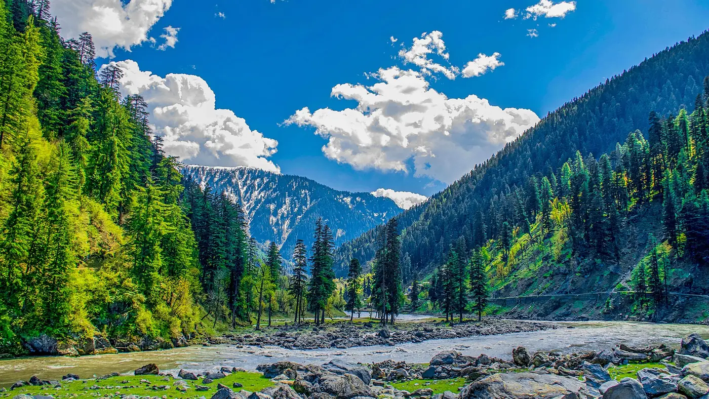
The road from Kel to Taobat covers about 39 km and is unmetalled for its entire length, winding through the villages of Phulawai, Halmat and Janawai on its way to the last settlement in the Neelum Valley. A 4x4 jeep and a driver who knows the route are essential; allow at least three to five hours, and treat that as a range rather than a promise, since conditions on this track change through the season.
This guide covers what the road is actually like, the villages along it, how jeep travel here works, and when it is realistically passable.
| At a glance | |
|---|---|
| Distance | About 39 km |
| Surface | Unmetalled throughout |
| Drive time | Roughly 3 to 5 hours, conditions permitting |
| Vehicle | 4x4 jeep only; not suitable for a normal car |
| Villages en route | Phulawai, Halmat, Janawai and others |
| Best months | May to October |
| Winter | Frequently blocked, December to March |
What the road is like
Beyond Kel, the metalled road ends and the track to Taobat becomes an unpaved jeep road for its entire length. Expect a narrow surface, water crossings where side streams meet the track, and sections affected by landslides or washouts after heavy rain, particularly during the monsoon months. This is not a comfortable drive, and it is not one to attempt in an ordinary saloon car regardless of how the road looks in a photograph taken on a good day.
Hiring a jeep and an experienced local driver in Kel is the standard approach, and it is the safer one. A driver who does this route regularly will know which sections are currently rough, where a stream crossing might be running high, and when it is better to wait a day than push on.
Villages along the way
The road passes through a string of small villages, among them Phulawai, Halmat and Janawai, where wooden cottages and terraced fields give a glimpse of a way of life that has changed little in this part of the valley. These are working villages rather than tourist stops, so treat them accordingly: ask before photographing people, and keep a respectful pace through inhabited areas.
There is little in the way of shops or fuel stations on this stretch, so fill up and carry what you need before leaving Kel.
How long does the drive take?
Figures vary by source and by conditions, but three to five hours is a realistic range for the roughly 39 km between Kel and Taobat, which tells you plainly enough that this is a slow, careful drive rather than a fast one. Add time if it has rained recently, if you are travelling later in the season when a stream crossing might be running higher, or if you are stopping in the villages along the way. Start early in the day, since there is no lighting on this road and driving it after dark is best avoided.
When is the road open?
May to October is the general window when the road is passable, with the most reliable conditions from June to September. Snow, landslides and washed-out sections can close parts of the road at short notice even within this period, so check current conditions in Kel before setting out rather than relying on an old trip report. From roughly December to March the upper valley is frequently cut off by snow, and the road beyond Kel should not be attempted without local advice and proper winter equipment, if at all.
Checkpoints and documents
Expect identity checks at points along this road, since it runs close to the Line of Control. Carry your CNIC (or, for foreign nationals, your passport, visa and the NOC required for this area) at all times, and follow whatever instruction checkpoint staff give you. Photography near checkpoints, bridges or any military installation should be avoided unless you are clearly told it is permitted.
Practical tips for the drive
- Fill the fuel tank in Kel; there is nowhere reliable to do so beyond it
- Carry food, water and cash, since none of these are guaranteed along the way
- Start early to give yourself daylight margin at both ends of the drive
- Ask locally about current conditions rather than trusting an online report
- Keep a spare day in your plan in case the road is closed or slow on the day you intend to travel
Is the drive worth it?
For travellers whose goal is Taobat itself, the road is simply the way there, and it is worth treating with respect rather than either dread or excessive romance. It is a slow, sometimes uncomfortable drive through genuinely remote country, and it suits travellers with time to spare and a tolerance for rough roads. It does not suit anyone in a hurry, anyone prone to motion sickness on rough tracks, or a trip with a tight schedule elsewhere.
Is it safe to travel this road?
This stretch runs close to the Line of Control between Pakistan and Indian-administered Kashmir. Pakistani travellers use this road each season, but some foreign governments, including the UK, currently advise against travel within roughly 10 miles of the LoC, an advisory that covers this entire route, and this can affect travel insurance for overseas visitors. Foreign nationals need an NOC arranged in advance to travel this far up the valley. Check recent local news and current administration advice before setting out, since access here can be restricted at short notice.
Frequently asked questions
How far is it from Kel to Taobat?
About 39 km, entirely on an unmetalled road.
How long does the drive from Kel to Taobat take?
Roughly three to five hours by 4x4 in normal conditions, longer after rain or later in the season. Check locally before you set off.
Can a normal car drive from Kel to Taobat?
No. The road is unpaved, narrow and crosses streams in places, and it needs a 4x4 jeep and an experienced driver.
What villages are on the Kel to Taobat road?
Phulawai, Halmat and Janawai are among the villages the road passes through, each with traditional wooden houses and terraced fields.
When does the Kel to Taobat road close for winter?
Typically from around December to March, when heavy snow cuts off the upper valley. The road can also close temporarily at other times of year after landslides or heavy rain.