Karakar Pass is the paved mountain road that connects Barikot, in the Swat valley, to Buner district, crossing the ridge at about 1,336 metres. The road runs through pine forest along the slopes of Ilam Mountain, and it is the most direct route between the two districts, used both by local traffic and by visitors combining a trip to Swat with Buner's shrine and hilltop sites.
This guide covers the route itself, what the drive is like, and how to drive it safely.
| At a glance | |
|---|---|
| Altitude at the pass | About 1,336 m |
| Connects | Barikot (Swat valley) and Buner district |
| Surface | Paved throughout |
| Approximate distance | About 45 km, Barikot to Pir Baba, over the pass |
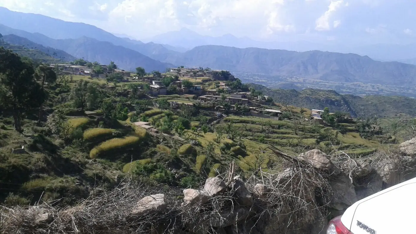
| Scenery | Pine forest on the climb, views over Buner from the top |
| Road condition | Winding mountain road; drive in daylight and in good weather |
Where the road runs
The Karakar road leaves the Swat valley at Barikot, on the Swat River between Mingora and Chakdara, and climbs east into the hills that separate Swat from Buner. It passes through mature pine forest along the lower slopes of Ilam Mountain, crosses the ridge at the pass itself, and descends on the Buner side towards Pir Baba and the rest of the district.
It is the road most people mean when they talk about driving "from Swat to Buner" or "from Buner to Swat," rather than the longer route back down to the motorway and around.
The drive
The road is paved for its full length, and a normal car manages it without difficulty in good conditions. It is, however, a genuine mountain road: narrow in places, with bends that climb steadily through forest rather than a straight run, and no motorway-style barriers or lighting. Allow more time than the distance alone suggests, and don't plan to cover it quickly.
From the top of the pass, the views open out over the Buner valley to the east, with the forested slopes of Ilam Mountain rising to the north. It is a reasonable spot to stop, stretch, and take in the view before continuing down into Buner, though there is little in the way of formal facilities at the top itself.
Road safety on the pass
- Drive in daylight. The road has no lighting and unmarked edges in places; save it for a day trip rather than an evening crossing.
- Check the weather first. Heavy rain affects visibility and, on a forested mountain road like this, raises the chance of debris or minor slips on the surface.
- Keep a safe following distance on the bends. Local traffic includes buses and loaded trucks that take the curves wide.
- Don't rely on fuel or repairs along the way. Fill up in Barikot or in Buner before you set off; there is little in the way of services on the pass itself.
A tunnel is coming
A tunnel under Karakar Pass has been under construction for several years and was still being built as of September 2026, when a provincial minister reviewed progress on site. Once finished, it is intended to cut the crossing from around 11 km of mountain road down to about 3 km through the tunnel, which will make the Swat–Buner link faster and less weather-dependent. Until it opens, the pass road above ground remains the route, and it is worth checking locally whether construction traffic is affecting the drive before you set off.
A little history
The pass has been fought over before. In February 1586, a large Mughal force under the emperor Akbar's commander-in-chief Birbal was defeated here by Yusufzai tribal forces, in one of the heaviest single defeats the Mughal army suffered. It is a detail worth knowing rather than a reason to detour, but it explains why the pass shows up in accounts of the region's history well before it became a tourist route.
Fitting it into a trip
Karakar Pass works best as a link rather than a destination: use it to combine a stop in Swat with a day around Pir Baba, Ranigat or Gokand in Buner, rather than driving up and back the same way. Our guide to places to visit in Buner covers the district's main sights, and hikers heading up Ilam Mountain from the Swat side generally branch off this same road near Barikot.
Frequently asked questions
Is Karakar Pass road paved?
Yes, the road is paved for its full length between Barikot and Buner, though it is a narrow, winding mountain road rather than a fast route.
How high is Karakar Pass?
About 1,336 metres at the top.
Is Karakar Pass a shortcut between Swat and Buner?
Yes, it is the most direct road link between the two districts. A tunnel currently under construction will shorten the crossing further once it opens.
Is the Karakar Pass road safe to drive?
In good weather and daylight, yes, for a normal car driven carefully. Avoid it after dark or in heavy rain, since the road has unmarked edges and no lighting.
Can I stop at the top of Karakar Pass for the view?
Yes, there is room to pull over near the top, with views across Buner and the forested slopes of Ilam Mountain, though facilities are minimal.
Is Swat safe for overseas visitors?
Pakistani families still visit Swat, but on 2 August 2026 a suicide bombing at the Kabal police station killed 17 people, and as of September 2026 the UK government advises against all travel to Swat. If you hold a foreign passport, check your own government's advice before you go, because travelling against it can void your insurance. Everyone should check local news and current police advice before setting out.