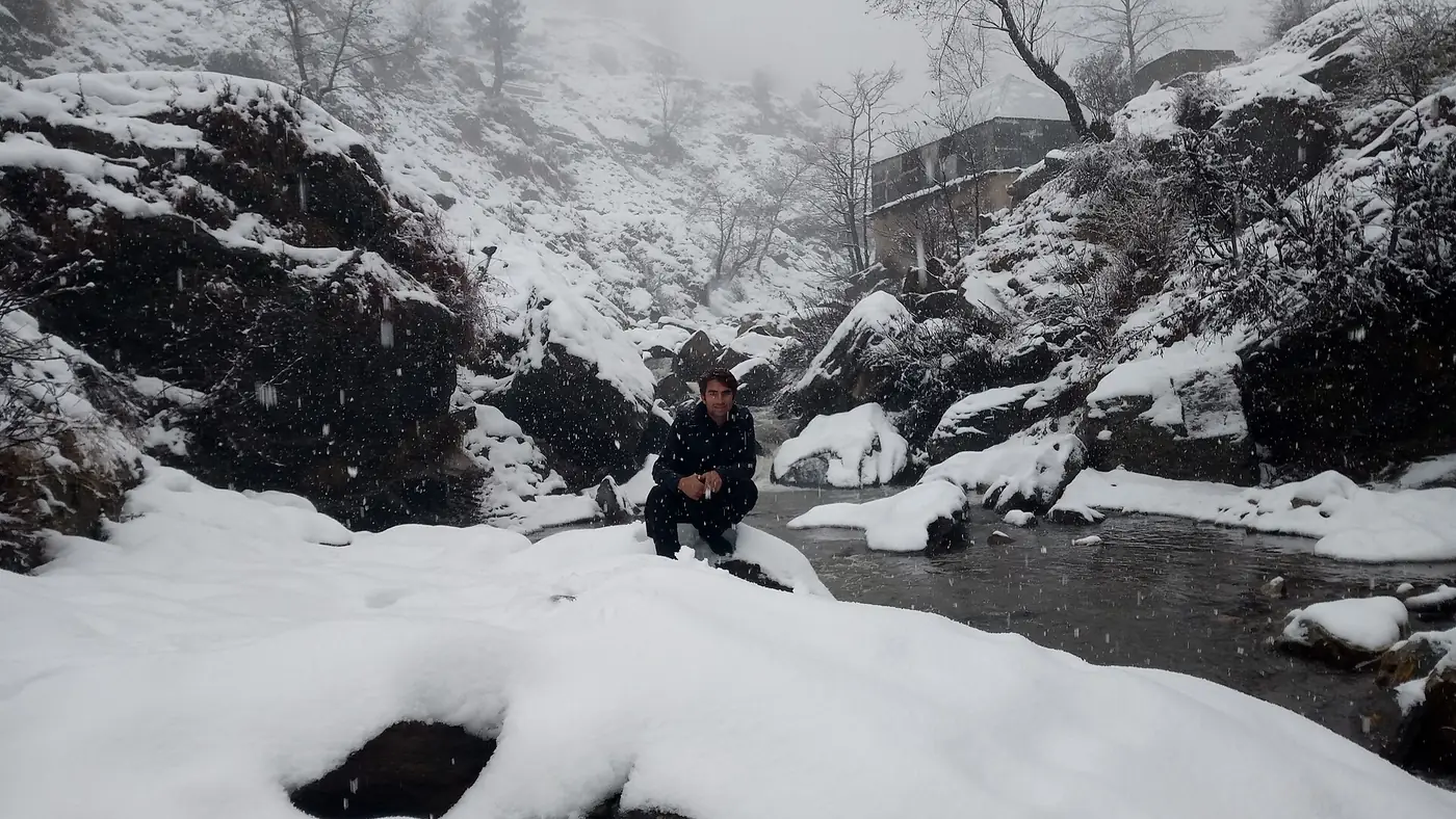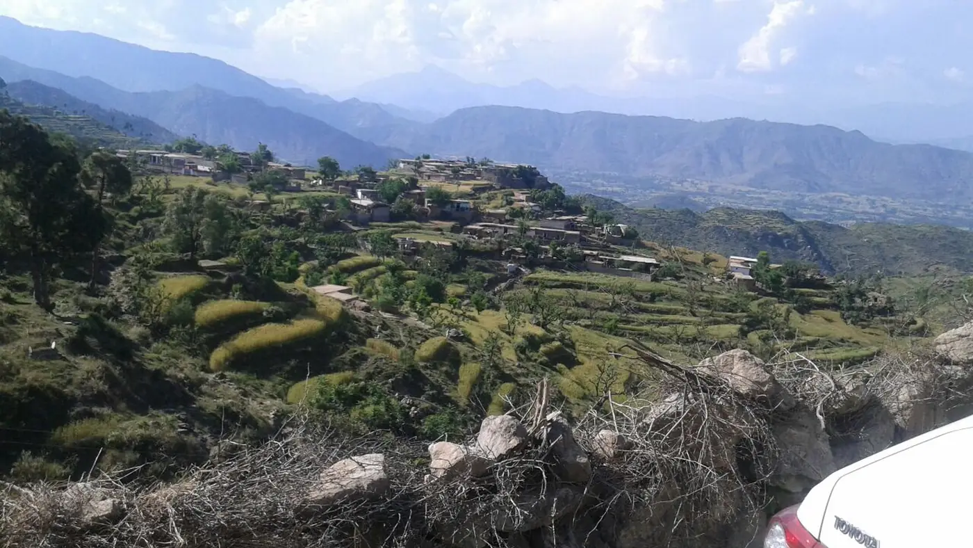
Ilam Mountain, also called Elum Ghar, is the highest peak on the border between Buner and Swat districts, at about 2,800 metres. It stands west of the Pir Baba shrine, is snow-capped for much of the year, and can be approached from either the Buner or the Swat side, with streams and small lakes on the way up making it one of the more rewarding hikes in the district.
This guide covers what the mountain is known for, the routes up from Buner and from Swat, what the summit is like, and when to go.
| At a glance | |
|---|---|
| Where | Border of Buner and Swat districts, west of Pir Baba |
| Altitude | About 2,800 m |
| Difficulty | Moderate; a long day out rather than a technical climb |
| Access | From Daggar (Buner) or via the Karakar road (Swat side) |
| Best months | March to May and September to October |
| Guide | Worth arranging locally; trails are not signposted |
Why people climb Ilam
Elum Ghar has been significant ground for a long time before it became a hiking destination. Before 1947 it was an important pilgrimage site for Hindus, who believed the god Rama spent time here during his exile and held an annual gathering on the summit; it also carries a Buddhist tradition tied to a previous incarnation of the Buddha. The mountain's real appeal for today's hikers, though, is more straightforward: pine forest, streams, and small lakes on the way up, and long views over both Buner and Swat from the top, known locally as Jogiano Sar.
Because it sits directly on the district boundary, it is one of the few hikes in the area you can genuinely start from either side.
Route from the Buner side
The usual approach from Buner starts near Daggar, the district headquarters, and climbs through villages on the lower slopes towards the mountain. Roads run partway up, after which the route continues on foot through forest. This side has the advantage of starting close to Pir Baba and the rest of Buner's sights, so it suits a trip that also takes in the shrine, Ranigat or Gokand.
A local guide is worth arranging in one of the villages at the base. Trails are not signposted, they branch, and the difference between a straightforward day and a long, confusing one usually comes down to knowing the way.
Route from the Swat side
From Swat, the mountain is generally approached from the Barikot side, where the road towards the Karakar pass climbs through pine forest along the edge of Elum Ghar's slopes before dropping to Buner. Our Karakar Pass guide covers that road in detail; walkers heading for the summit branch off it onto foot trails rather than following the road all the way over the pass.
As on the Buner side, hire a guide locally rather than relying on a marked trail. Ask in Barikot or through your hotel in Swat for someone who knows the current route and conditions.
What to expect at the top
The summit is bare, windswept ground with views that on a clear day take in a wide stretch of both Buner and the lower Swat valley. There is no infrastructure at the top: no shelter, no stalls, nothing but the view and, outside the warmest months, snow. Carry your own water and food; nothing is sold on the way up.
Snow lingers into spring at this altitude, so a May visit can still mean patches of snow near the summit even when the valleys below are warm. Bring layers, sturdy footwear and more water than you think you need, since the last stretch is exposed to sun and wind with no shade.
When to go
March to May brings the mountain's springs and streams to life and is a comfortable season for the lower slopes, though the very top can still hold snow into April. September and October are drier and clearer, with the best visibility for the summit views. Summer is workable but hot on the lower approach; winter brings heavy snow that makes the upper mountain a serious undertaking rather than a day hike.
Is it worth doing?
If you want a genuine hike rather than a viewpoint you drive to, yes. It is a proper climb with a real summit and real views, and it is close enough to Pir Baba and the rest of Buner to fit into a wider trip. It suits fit, well-prepared walkers rather than families with small children, since there is no easy shortcut to the top and no facilities once you leave the villages.
For a place-focused day in the district instead, our guide to places to visit in Buner covers the shrine, Ranigat and Gokand, none of which require a hike.
Frequently asked questions
How high is Ilam Mountain?
About 2,800 metres, making it the highest peak on the Buner-Swat border.
Can I hike Ilam Mountain from Swat instead of Buner?
Yes. Trails branch off from the Barikot side of the Karakar road on the Swat side, as well as from Daggar on the Buner side.
Do I need a guide?
It is strongly worth arranging one locally. The trails are not signposted and branch several times on the way up.
What is the best time to hike Ilam Mountain?
March to May or September to October, when the lower slopes are clear of snow and the visibility from the summit is best.
Is Ilam Mountain suitable for families?
Not really. It is a long day out on unmarked trails with no facilities, better suited to fit, well-prepared hikers than to small children.
Is Buner safe for overseas visitors?
Pakistani visitors still travel to Buner, but as of September 2026 the UK government advises against all travel to the district. If you hold a foreign passport, check your own government's advice before you go, because travelling against it can void your insurance. Everyone should check local news and current police advice before setting out.