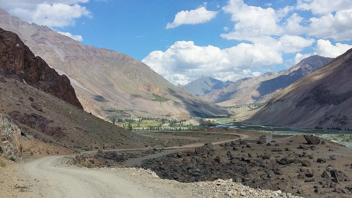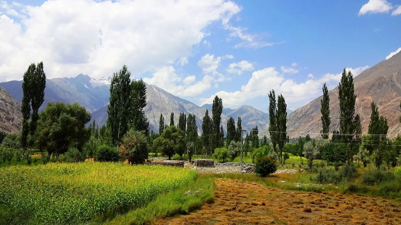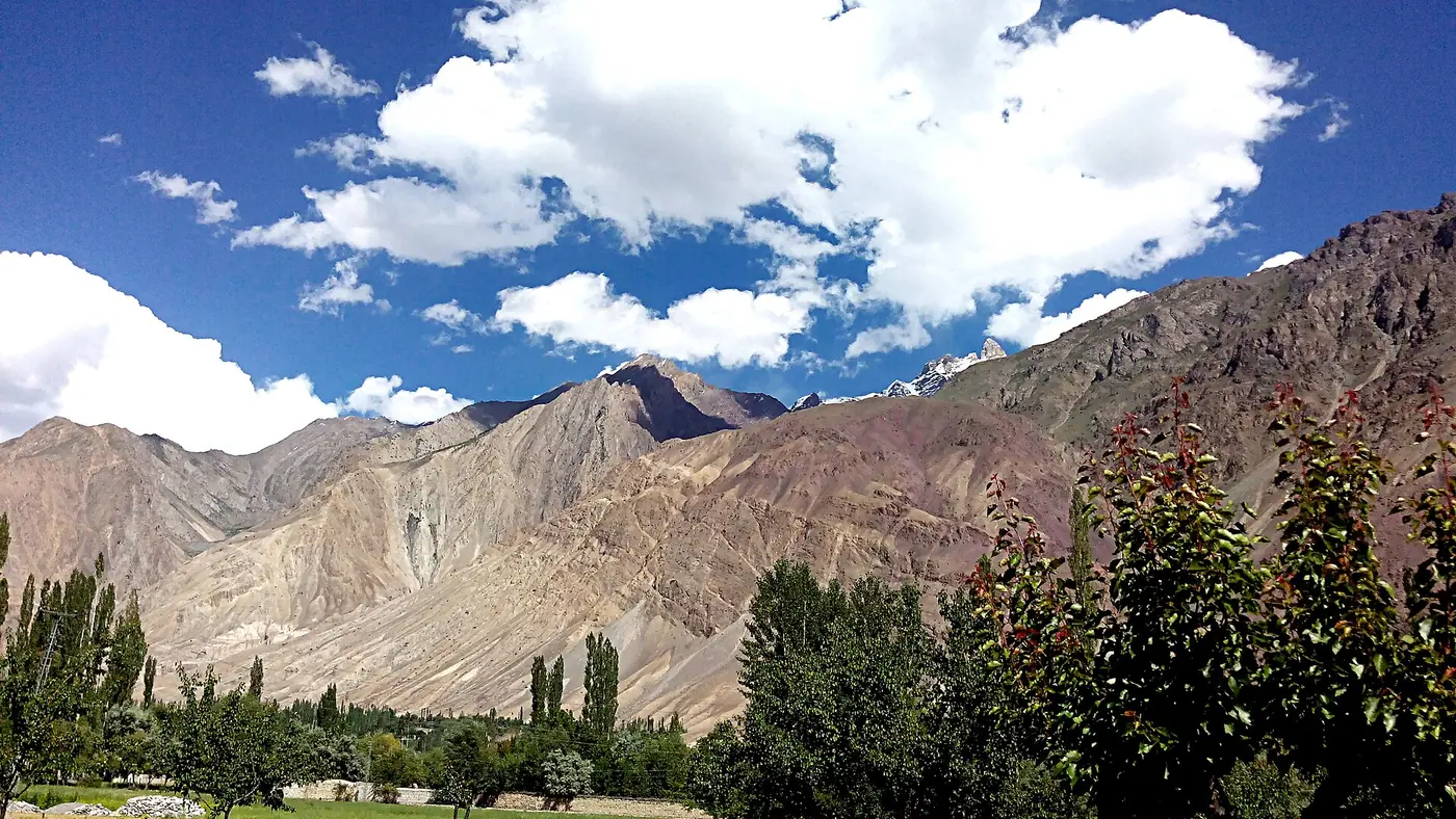
Darkot is the last village up the Yasin valley in Ghizer, sitting at around 2,760 metres below the Darkot Pass, which at 4,703 metres has carried traders, armies and, in 1870, one doomed British explorer between Yasin and the Wakhan. It is roughly 175 to 180 km and five to six hours by road and track from Gilgit, well beyond where most visitors to Gilgit-Baltistan travel. This guide covers the village, the history of the pass above it, and what a visit or a crossing involves.
| At a glance | |
|---|---|
| Where | Head of Yasin valley, Ghizer District |
| Village altitude | About 2,760 m |
| Darkot Pass altitude | 4,703 m |
| From Gilgit | About 175 to 180 km, 5 to 6 hours to the village |
| Pass open | Roughly May to October |
| Beyond the pass | Broghil valley, Chitral |
Where is Darkot valley?
Darkot sits at the far end of the Yasin valley, itself a side valley off the main Ghizer road at Gupis. From Gilgit the route runs through Gahkuch and Gupis, then turns north up the Yasin valley past Yasin town and a string of smaller villages before the road narrows and climbs towards Darkot. Our Yasin valley guide covers that approach in full.
The last stretch beyond Yasin town is a rougher, jeepable track rather than a sealed road, and it depends on the season and on recent weather; landslides and glacial flooding have damaged land around Darkot in past years, so ask in Yasin about the current state of the track before heading up.
The Darkot Pass: history
The Darkot Pass has been a working route between South and Central Asia for a very long time, part of a network of high passes that carried Silk Route trade between Yasin and the Wakhan corridor, long before it had a name on any British map. Its most recorded moment in modern history is grim: the explorer and surveyor George Hayward was killed near the pass in 1870, during the period of imperial rivalry between Britain and Russia in Central Asia now known as the Great Game. The pass and the glacier beside it still carry his name in the accounts of that era.
Today the pass marks the boundary between Gilgit-Baltistan and Chitral district in Khyber Pakhtunkhwa, and it remains a route used mostly by trekkers, shepherds and local traffic rather than any formal road.
Crossing the pass: what it involves
The Darkot Pass is a trek, not a drive, and a serious one. It is normally open only from around May to October, and even in season the route crosses glacier and steep scree near the top. A typical crossing runs roughly like this:
- Darkot village to a high camp, a long day's walk from the last houses.
- An early start over the pass itself, crossing the Darkot glacier, with several hours of steady climbing before the top.
- Descent into Broghil valley, on the Chitral side, reaching the village of Rawat within an hour or so of the summit in good conditions.
- On to Chitral, either continuing down the Yarkhun valley or looping back towards Mastuj.
This is not a walk to attempt without a local guide who knows the current state of the glacier and the weather. Trekking parties should arrange guides and porters in Yasin or Darkot itself, and build in spare days for weather, since conditions above 4,000 metres change quickly even in summer.
Is Darkot restricted?
The pass sits close to sensitive border country between Pakistan and Afghanistan's Wakhan corridor, and crossings of this kind have at times required clearance from the local administration, particularly for foreign nationals. Rules on this change, so anyone planning to cross should confirm current requirements with the deputy commissioner's office in Gilgit or Gupis before setting out, rather than relying on what worked in a previous year.
What Darkot village is like
Away from the pass, Darkot itself is a small farming settlement, the last real village before the mountains take over: fields of wheat and potatoes, a scatter of houses, and views back down the long green line of the Yasin valley. There are no hotels in the way a visitor to Hunza would expect; anyone staying needs to arrange a room with a family, camp, or come as part of an organised trek.
Is Darkot worth the trip?
Only for a specific kind of traveller. If you are not trekking over the pass, Darkot is a long way to go for a farming village at the head of a valley, and the drive alone from Gilgit takes most of a day each way. For most people, a night in Yasin town, with a look up the valley towards Darkot, is enough.
If you are planning the crossing to Broghil and Chitral, or you are simply drawn to the history of the Great Game and the old Silk Route passes, Darkot is the whole point of the trip, and the effort of getting there is part of the experience. Either way, build in a spare day for the road and, if trekking, several spare days for weather. Our trip planning page can help work out a realistic schedule.
Frequently asked questions
How do you get to Darkot village?
By road and track from Gilgit through Gahkuch, Gupis and the Yasin valley, roughly 175 to 180 km and five to six hours in a suitable vehicle, with the last stretch beyond Yasin town rougher and slower.
How high is the Darkot Pass?
4,703 metres. The village of Darkot below it sits at around 2,760 metres.
When is the Darkot Pass open?
Roughly May to October, snow and glacier conditions permitting. It is not a route to attempt outside summer.
Can you drive over the Darkot Pass?
No. It is a trekking route across a glacier and steep ground, not a road, and requires a local guide and proper trekking preparation.
Is a permit needed to cross the Darkot Pass?
Requirements have varied over time given the pass's closeness to the Afghan border, particularly for foreign trekkers. Confirm the current position with the local administration in Gilgit or Gupis before planning a crossing.