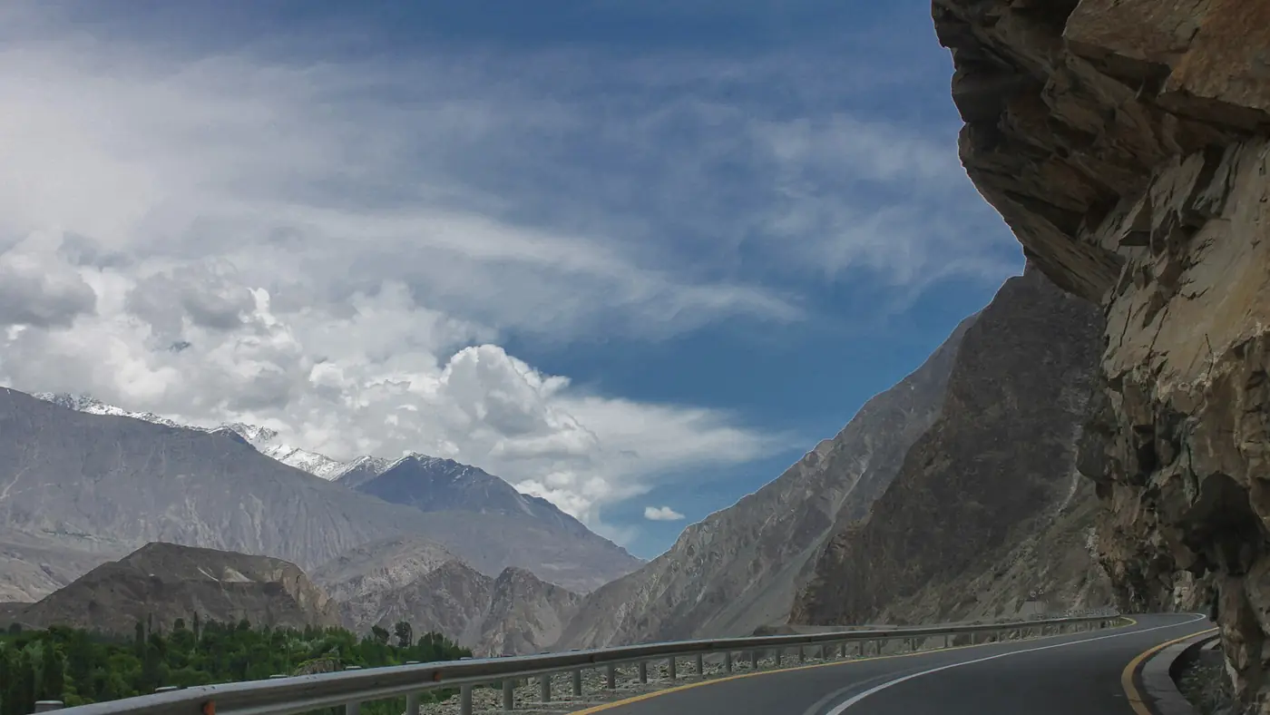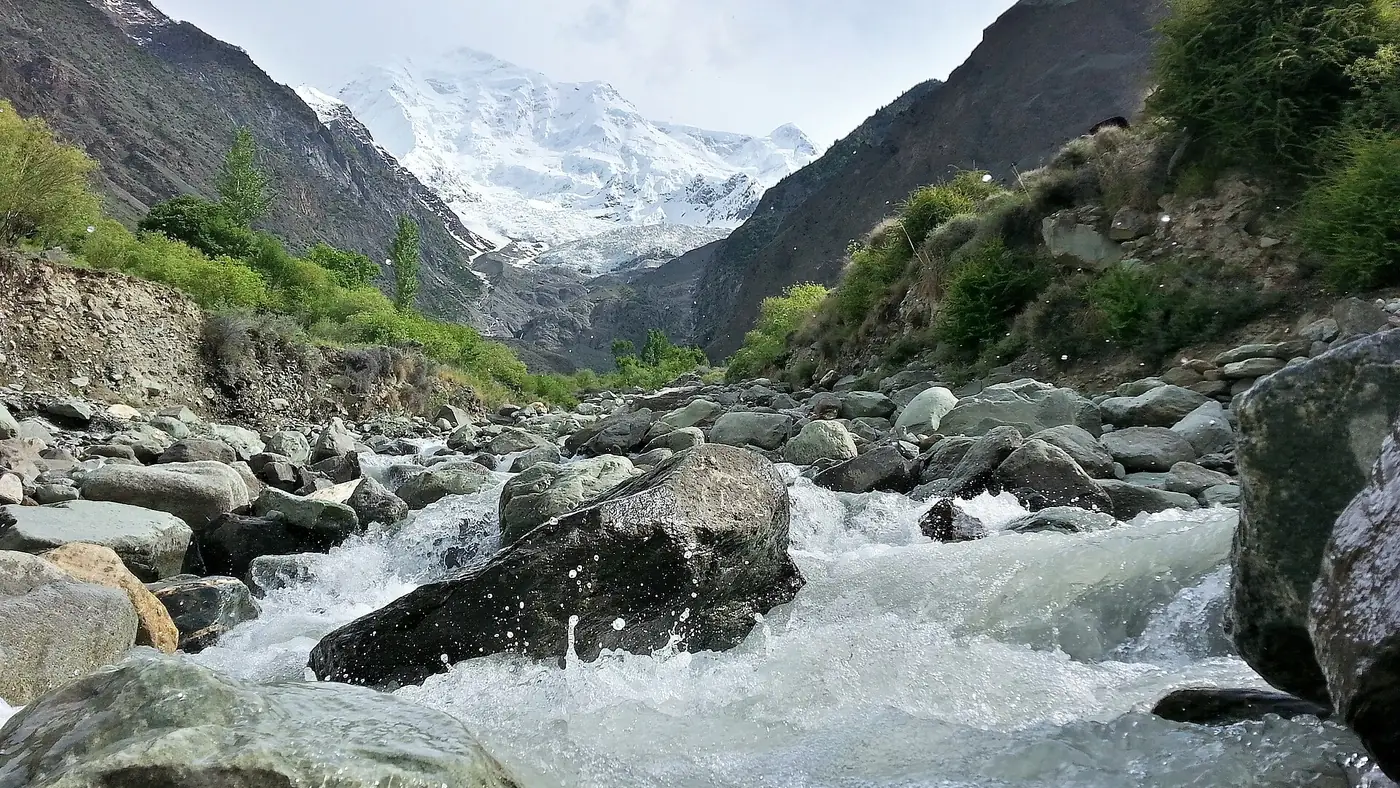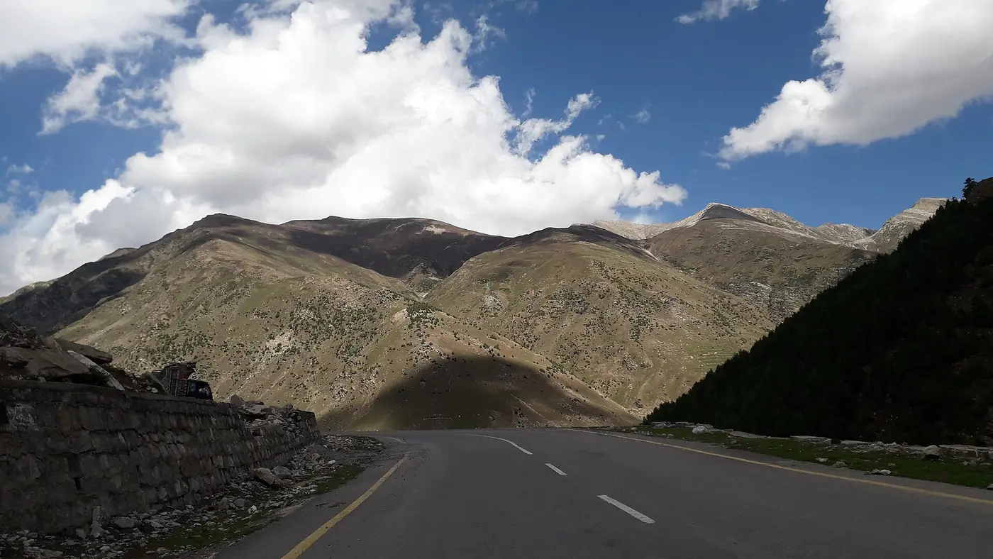
Cycling the Karakoram Highway means riding a paved road through some of the highest mountains on earth, from the plains north of Islamabad to a border crossing at 4,693 metres. Within Gilgit-Baltistan the road is in good condition and mostly gradual, but the altitude, the stretches shared with heavy trucks, and the distance make it a serious undertaking, not a casual ride.
This guide covers the stages inside Gilgit-Baltistan, the climbs that matter, bike preparation and where to resupply.
| At a glance | |
|---|---|
| Route | N-35, Hasan Abdal to Khunjerab Pass, about 870 km one way |
| Best months | May, June, September, October |
| Avoid | July and August (monsoon landslides) and December to April (snow) |
| Highest point | Khunjerab Pass, 4,693 m |
| Typical daily distance | 60 to 100 km, less on the climbs |
| Resupply | Chilas, Gilgit, Aliabad, Karimabad, Gulmit, Passu, Sost |
| Crossing to China | Not possible by bike; cyclists take the bus from Sost |
The route, stage by stage
Most cyclists ride into Gilgit-Baltistan from Islamabad via the Hazara Motorway and Besham, though the Kohistan stretch from Besham to Chilas is the least pleasant part of the whole route: narrow, cut into the gorge, and shared with trucks on a road that was never rebuilt to the standard of the highway further north. Many riders get through it rather than linger, and some skip it by bus or car and start riding properly from Chilas or Gilgit, where the road opens out.
A rough stage breakdown north of Chilas:
- Chilas to Gilgit, about 135 km, past the Nanga Parbat viewpoint at Talechi and the junction of the three mountain ranges near Jaglot.
- Gilgit to Aliabad or Karimabad, about 100 to 110 km, following the Hunza river with a steady, gradual climb.
- Karimabad to Sost, about 85 km, past Attabad Lake, through the Attabad tunnels, and on through Gulmit and Passu.
- Sost to Khunjerab Pass, about 85 km one way, the hardest stage: a sustained climb from around 2,800 to 4,693 metres inside Khunjerab National Park, with no fuel, food or shelter on the way.
Riders who are not racing usually split the Karimabad to Sost and Sost to Khunjerab stages, spending a night in Gulmit or Passu, and treat the ride up to Khunjerab and back to Sost as a single long day without luggage.
The climb to Khunjerab: the hard part
The road itself is not steep by cycling standards, mostly a long, steady gradient, but the altitude gain is what makes it hard. From Sost at roughly 2,800 metres to the pass at 4,693 metres is close to 1,900 metres of climbing in a single stage, most of it above 3,500 metres, where the air is noticeably thinner.
Spend a few days in Hunza before attempting it, rather than arriving straight from lower ground. Riders who feel strong on the flat in Karimabad often find the last few kilometres far harder than the gradient alone explains, and that is altitude rather than fitness. Watch for headache, nausea or unusual breathlessness, and turn back rather than push through it. Our Khunjerab Pass guide has more on altitude at the top.
Most cyclists ride up from Sost without luggage, return the same day, and do not attempt to camp near the border.
Best time to ride
May, June, September and October are the reliable months. The road is clear of snow, valley temperatures are manageable, and landslide risk is lower than in high summer.
July and August bring the highest chance of the road being blocked by monsoon-driven landslides, particularly through Kohistan and around Tatta Pani, north of Chilas: a real risk to ride into on a bicycle, with nowhere obvious to wait it out.
Winter closes the road well before Sost in bad years, and the upper sections beyond Sost are shut to everyone from around December to April.
Resupply and where to stay
Chilas, Gilgit, Aliabad, Karimabad, Gulmit and Passu all have hotels or guesthouses and places to eat, so a self-supported rider does not need to camp except by choice. Sost is the last proper town before the border and has basic accommodation and the last fuel and food before Khunjerab.
Food options thin out and simplify the further north you go: expect rice, dal, bread and tea reliably, with better restaurants in Gilgit and Karimabad. Carry snacks and water for the stretches between towns, especially the long climb from Sost, where there is nothing at all once you leave.
Bike and kit
- A touring or gravel bike with a wide gear range, which suits the highway better than a road bike; the surface is generally good tarmac, but the gradients on the upper sections reward low gearing.
- Good brakes, checked before you start, for the long descents from Khunjerab and through the Kohistan gorge.
- Warm layers for the top. Even in July the wind at Khunjerab Pass is cold, and riders arrive sweating from the climb and cool down fast.
- A basic repair kit and spares, since bike shops are limited to Gilgit and Karimabad at best.
- Sun protection. UV exposure at altitude is strong over long days in the saddle.
Crossing into China
The Khunjerab checkpoint is not open for cyclists to ride across. Riders go up to the pass, take photographs at the border, and turn back to Sost, where onward travel into China is by bus through the immigration process, not by bicycle. This is worth knowing before you plan a continuous ride through to Kashgar.
Is it worth it?
For an experienced cyclist who has ridden multi-day tours before and is comfortable managing altitude, yes: it is one of the most striking rides in the world, and the road surface within Gilgit-Baltistan is good enough that the challenge is mostly the distance, the climbing and the thin air rather than the surface underfoot. For a first long-distance tour, the combination of altitude, traffic on the Kohistan stretch and the remoteness beyond Sost makes it a demanding choice. Riding Gilgit to Khunjerab and back, skipping Kohistan by car or bus, keeps the best of the route without its hardest and least rewarding section. Our guide to planning a Pakistan trip has more on timing a longer journey around weather and road conditions.
Frequently asked questions
How long does it take to cycle the Karakoram Highway?
Most self-supported riders take three to five weeks for the full route from Kashgar or Islamabad. Within Gilgit-Baltistan alone, Chilas to Khunjerab Pass and back is realistic in about a week for a fit cyclist.
Is the Karakoram Highway hard to cycle?
The gradient is mostly gradual, but altitude above Sost, distance, heat in the lower valleys and sharing the Kohistan stretch with trucks make it a serious undertaking rather than an easy ride.
Can I cycle across the border into China at Khunjerab?
No. Cyclists ride to the pass and back to Sost; crossing into China from Sost is done by bus through immigration, not by bicycle.
What is the best month to cycle the KKH?
May, June, September and October, when the road is clear of snow and the risk of monsoon landslides is lower than in July and August.
Do I need a support vehicle to cycle the KKH?
No, most riders go self-supported, since towns with food and accommodation appear at reasonable intervals as far as Sost. A support vehicle helps most on the climb to Khunjerab, where there is nothing between Sost and the pass.
Is the Karakoram Highway route safe for overseas visitors?
Pakistani travellers use it all year, but as of September 2026 the UK government advises against all travel on the Karakoram Highway between Mansehra and Chilas, through Besham and Dasu. In summer the road over the Babusar Pass avoids that stretch. If you hold a foreign passport, check your own government's advice before you go, because travelling against it can void your insurance. Everyone should check local news and road conditions before setting out.