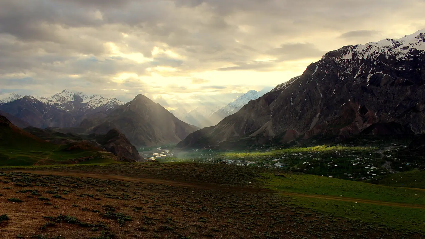
Upper Chitral is the string of villages and valleys north of Chitral town, from Reshun and Booni through Mastuj to the Laspur valley and Shandur Pass, with side roads to the remote Yarkhun valley and Broghil. It became its own administrative district, separate from Lower Chitral, in 2018, and it is quieter, higher and further from anywhere than the Chitral most visitors see.
This guide follows the route stop by stop: what each place offers, where to fill up, and where the road stops being something a normal car can manage.
| At a glance | |
|---|---|
| Route | Chitral town – Reshun – Kuragh – Booni – Mastuj – Laspur – Shandur |
| Distance, Chitral to Shandur | Roughly 170 km |
| Fuel | Chitral town and Booni only; carry a spare can beyond Booni |
| Vehicle | Car to Booni in dry weather; SUV or jeep beyond, jeep only past Mastuj |
| Season | June to September for the full route; road under active reconstruction |
Chitral town to Booni
The road out of Chitral town follows the river north through Reshun and Kuragh, a stretch that has repeatedly suffered river erosion and flood damage in recent years, and is under reconstruction. Booni, the headquarters town of Upper Chitral district, is the first real stop: a proper bazaar, government offices, and views of Booni Zom above the valley. It is also, along with Chitral town, one of the last reliable places to fill your tank and draw cash before the road gets rougher.
For exactly what state this stretch is in on any given week, see our Chitral road condition guide, which tracks the reconstruction and flood closures; conditions here change too often for a route guide to keep current.
Booni to Mastuj
Beyond Booni the valley narrows and the road climbs further, following the Mastuj (Yarkhun) river. Mastuj itself is a small village built around one of Chitral's older forts, a mud-and-timber structure from the late 18th century that has been rebuilt more than once and still stands over the settlement. It is the last village of any size before the road splits: one branch continues up the Yarkhun valley toward Broghil, the other turns south-east up the Laspur valley toward Shandur.
A normal car with good clearance can sometimes reach Mastuj in dry weather, but this section is part of the same reconstruction project as the road below Booni, and it is realistic to expect a slower, rougher drive than the distance alone suggests.
Mastuj to Laspur and Shandur
The Laspur valley climbs from Mastuj through Harchin to Sor Laspur, the last permanent village before the open ground of Shandur Pass. This stretch is scenic, high and cold even in summer, and it is where you should plan on a jeep rather than a car: the road is unpaved for long stretches and is the least developed part of the whole route. Our Shandur Pass guide covers the plateau itself, the lake, and when the road across it to Gilgit-Baltistan tends to be passable.
The Yarkhun valley and Broghil
At Mastuj, a separate road runs the other way, up the Yarkhun valley toward Broghil, deep in the far north of the district near the Afghan border. This is a jeep track for its entire length, a journey of days rather than hours, and it is open only for a few months in summer. It is a serious undertaking, not a side trip, and our Broghil valley guide covers the route, the permits and the current security picture in full.
Fuel, cash and phone signal
Treat Chitral town and Booni as your only dependable fuel and cash stops. Beyond Booni, pumps are unreliable or absent, so fill up and draw whatever cash you expect to need before you leave. Mobile signal thins out steadily north of Booni and is patchy to absent in the Laspur valley, around Shandur and up the Yarkhun valley, so agree check-in times with anyone not travelling with you and don't rely on your phone for navigation once you are past Mastuj.
Who this route suits
Upper Chitral suits travellers with a car or jeep, time to spare for delays, and no fixed schedule for the last day or two. It does not suit a rushed itinerary, a low-clearance car outside dry weather, or anyone unwilling to turn back if a stream crossing or landslide makes the next stretch impassable. Trekkers heading for the passes and valleys around Mastuj and Laspur will find it a natural base; our guide to treks in Chitral covers routes that start from this area.
Frequently asked questions
Can I drive to Upper Chitral in a normal car?
As far as Booni, usually yes in dry weather. Beyond Booni to Mastuj a higher-clearance vehicle is safer, and beyond Mastuj toward Shandur or Yarkhun a jeep is the realistic choice while the road is under reconstruction.
How far is it from Chitral town to Shandur?
About 170 km, but travel time depends heavily on the state of the road, which is being rebuilt in sections; allow considerably longer than the distance alone would suggest.
Where can I get fuel in Upper Chitral?
Chitral town and Booni are the reliable fuel stops. Fill up at one of them before continuing north, since pumps beyond Booni cannot be counted on.
Is Upper Chitral safe to visit?
The road carries flood and landslide risk in summer, and parts of the wider district, including areas near the Afghan border beyond Mastuj, have current safety advisories. Check our Chitral safety guide and current local advice before planning a route beyond Mastuj.
Does the road from Upper Chitral connect to Gilgit-Baltistan?
Yes, via Shandur Pass to Phander and Gilgit, when the pass and road are open, usually from around June to October. It is a rough, jeep-standard route rather than a fast link between the two regions.
Is Chitral safe for overseas visitors?
Pakistani tourists visit Chitral throughout the season, but as of September 2026 the UK government advises against all travel on the N45 from Mardan to Chitral city, which is the main road in through Dir and the Lowari Tunnel, and within 10 miles of the Afghan border. If you hold a foreign passport, check your own government's advice before you go, because travelling against it can void your insurance. Everyone should check local news and current police advice before setting out.