Tilla Jogian is the highest point of the eastern Salt Range, a 975-metre hill in Jhelum district topped by the ruins of a monastery that housed Hindu ascetics for over a thousand years, until Partition emptied it in 1947. Two routes lead to the summit: a jeep track from the Rohtas Fort side that a sturdy vehicle or motorbike can manage, and a steeper on-foot trail of about 3 km from Bhet village at the base. Either way, there is little shade and no reliable water on the climb, so this is a hike for a cool morning, not a midday outing.
This guide covers both routes up, what survives on the summit, the history that makes the place significant to Hindus and Sikhs alike, and the practical warnings worth taking seriously.
| At a glance | |
|---|---|
| Where | Salt Range, Jhelum district, about 25 km west of Jhelum city |
| Altitude | 975 m (3,200 ft), highest point of the eastern Salt Range |
| Protected as | Tilla Reserve National Park (declared 2021), 40.6 km² |
| Access | Jeep track from near Rohtas Fort, or a roughly 3 km foot trail from Bhet village |
| Ascent on the Bhet trail | About 500 m of climbing |
| Water | None reliably available on the route; carry all you need |
| Best time | Cooler months, early morning start |
Where is Tilla Jogian, and how do you get there?
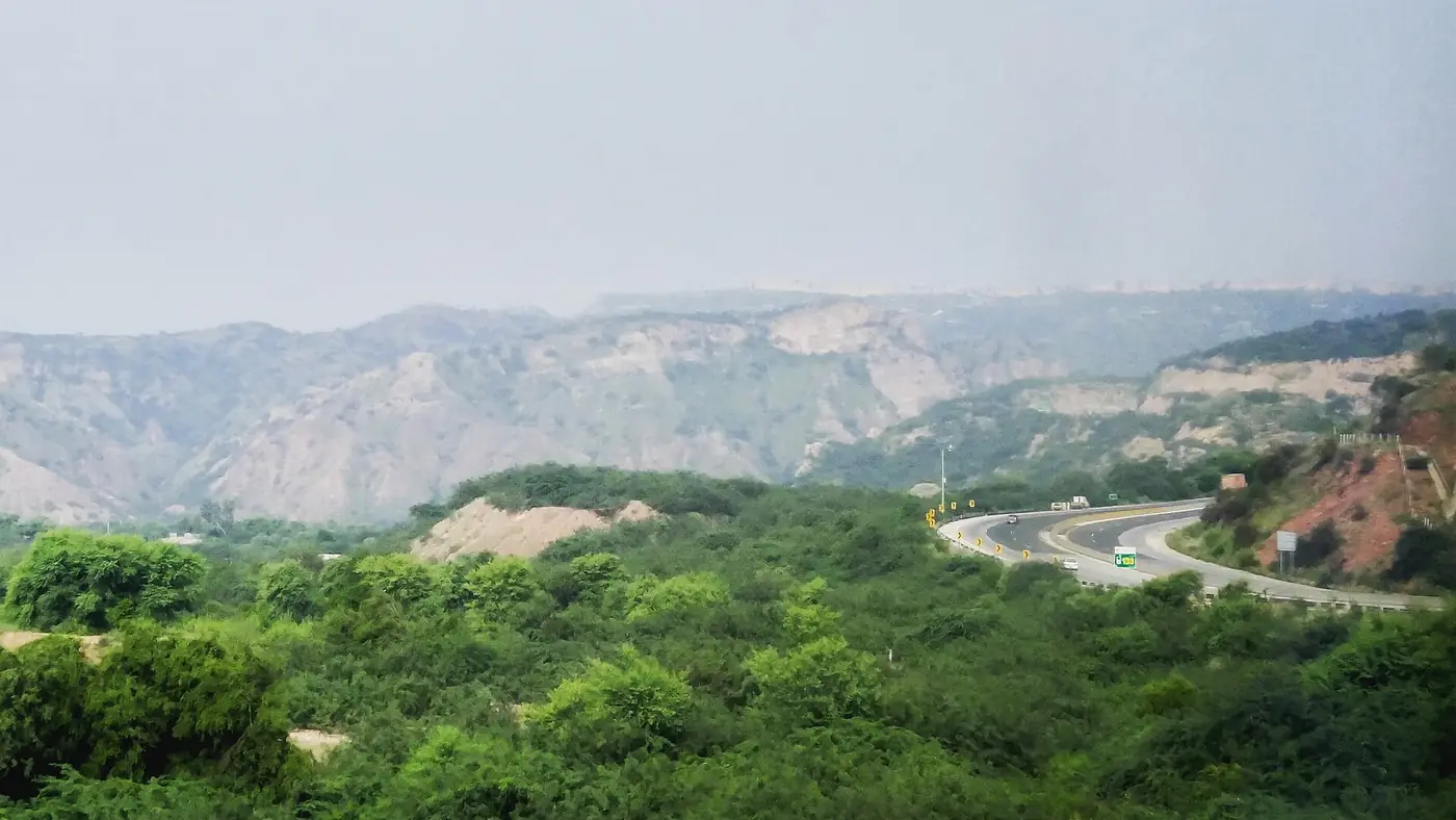
Tilla Jogian sits in the Salt Range about 25 km west of Jhelum city, within Tilla Reserve National Park, a 40.6 km² protected area that also runs down to the Jhelum river and the Khewra gorge. There is no public transport to the summit, so a car to the trailhead is the starting point either way.
- The jeep track, reached from the direction of Rohtas Fort, is passable by a 4x4 or a motorbike in dry conditions and gets you close to the top without walking the whole climb.
- The foot trail starts from Bhet village on the northern side of the hill and runs about 3 km to the summit, gaining roughly 500 m in height on rough, unmarked ground.
Neither route is signposted or maintained to any real standard, so a local guide or at least clear directions from someone who has done the walk recently are worth arranging before you go.
What remains on the summit
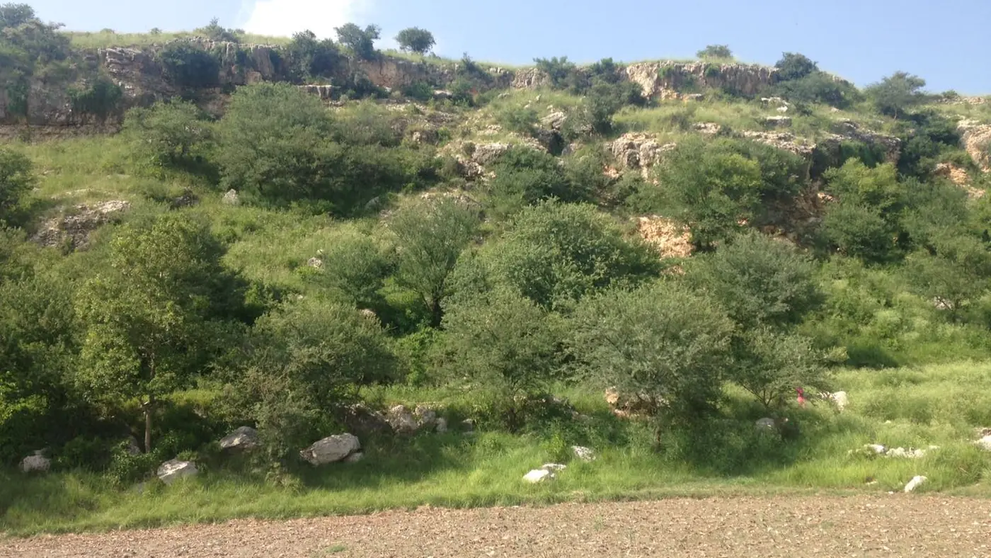
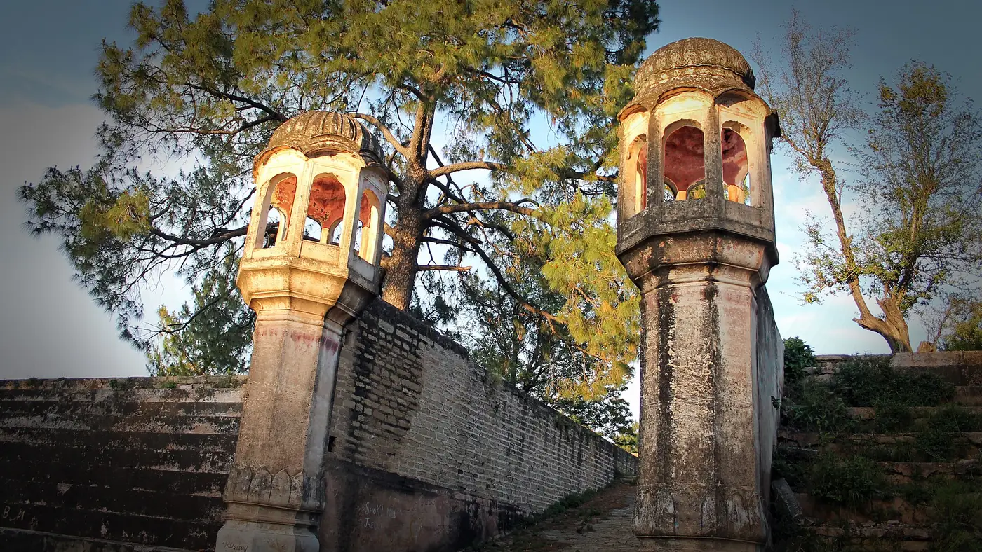
The summit holds the ruins of a Hindu monastic complex, at least three baths and a network of small waterworks and dams built to store water on an otherwise dry hilltop. A stone temple-tank built during the reign of Maharaja Ranjit Singh marks the spot where, according to tradition, Guru Nanak meditated for forty days in the early 1500s. The site is heavily overgrown with olive trees that have taken root among the stonework, and the structures themselves are in a dilapidated state: collapsed walls, eroded carving, and stonework that has clearly had little conservation work done on it.
There is no visitor centre, ticket booth or signage explaining what you are looking at, so it helps to know the history before you climb. From the summit, the view opens out over the folded ridges of the Salt Range towards the Jhelum river, with little sign of the roads and towns below, which is much of the appeal for anyone who has already done the more visited Salt Range stops.
The history: jogis, Guru Nanak and Heer Ranjha
The monastery was founded around the 9th century as a centre for Hindu ascetics of the Kanphatta (pierced-ear) order, and it remained active for close to a thousand years, drawing pilgrims and yogis to its remote, forested summit. Tradition holds that Guru Nanak, the founder of Sikhism, spent forty days in meditation here in the early 1500s, which is why Sikh sources still treat Tilla Jogian as a place of pilgrimage. The Mughal emperor Akbar is said to have visited twice, impressed by the ascetic practices he found there.
Tilla Jogian also has a place in Punjabi folklore: in the tragic romance of Heer Ranjha, the hero Ranjha comes here to have his ears pierced and take up the life of a jogi. The community that once lived on the hill, largely Hindu, left after Partition in 1947, and the monastery has been abandoned and slowly decaying ever since.
Heat, water and other warnings
There is no dependable water source on either route to the top, and no shade to speak of once you are past the lower slopes. Local reporting has also flagged deforestation and coal quarrying in the surrounding hills, which has left parts of the terrain less stable than it once was.
- Carry all your water. Do not count on finding any along the way, whatever old accounts of the site's waterworks might suggest.
- Start early. The Salt Range gets hot from mid-morning, especially April to October, and there is little cover on the climb.
- Wear proper walking shoes. The trail is unmarked and rocky in places, particularly on the Bhet route.
- Check the jeep track's condition before relying on it. It suits dry weather and a capable vehicle; after rain, the surface can be difficult.
- Go with someone who knows the route, or at least confirm current directions locally, since neither path is signposted.
Is Tilla Jogian worth the trip?
For visitors interested in Punjab's pre-Partition history, Sikh heritage or a genuinely quiet hilltop hike away from the more visited Salt Range stops, yes. What you find at the top is a real, largely unrestored ruin rather than a polished heritage site, and the walk up is a proper hike rather than a stroll.
If you are looking for an easy family outing or a site with facilities and signage, this is not it: there is no water, no shade and no infrastructure, and the routes need some local knowledge to find. Pair it with a visit to nearby Rohtas Fort if you have transport in that direction, since the two share the same corner of Jhelum district. Our trip-planning guide can help you work a hike like this into a wider Salt Range route.
Frequently asked questions
How do you get to Tilla Jogian?
By a jeep track from near Rohtas Fort, passable by 4x4 or motorbike in dry weather, or by a roughly 3 km foot trail from Bhet village that climbs about 500 m. Both need a car to reach the trailhead, since there is no public transport.
How difficult is the Tilla Jogian hike?
Moderate but genuine: an unmarked, rocky trail with a real climb, no water along the way and little shade. It suits a reasonably fit hiker starting early, not a casual family walk.
What is on top of Tilla Jogian?
The ruins of an ancient Hindu monastery: collapsed baths, small dams and waterworks, and a stone tank associated with Guru Nanak's forty-day meditation there in the early 1500s. Much of it is overgrown and unrestored.
Is Tilla Jogian connected to Guru Nanak?
Yes. Tradition holds that Guru Nanak meditated at the site for forty days in the early 1500s, and Maharaja Ranjit Singh later built a monument and stone tank there to mark the spot.
When is the best time to hike Tilla Jogian?
Cooler months with an early start. There is no water or real shade on either route, so avoid the midday heat, especially between April and October.