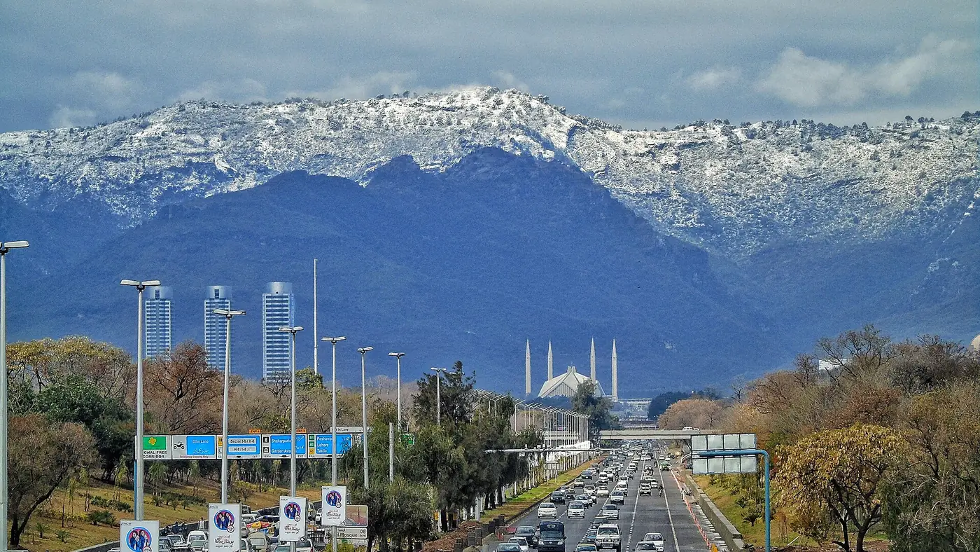
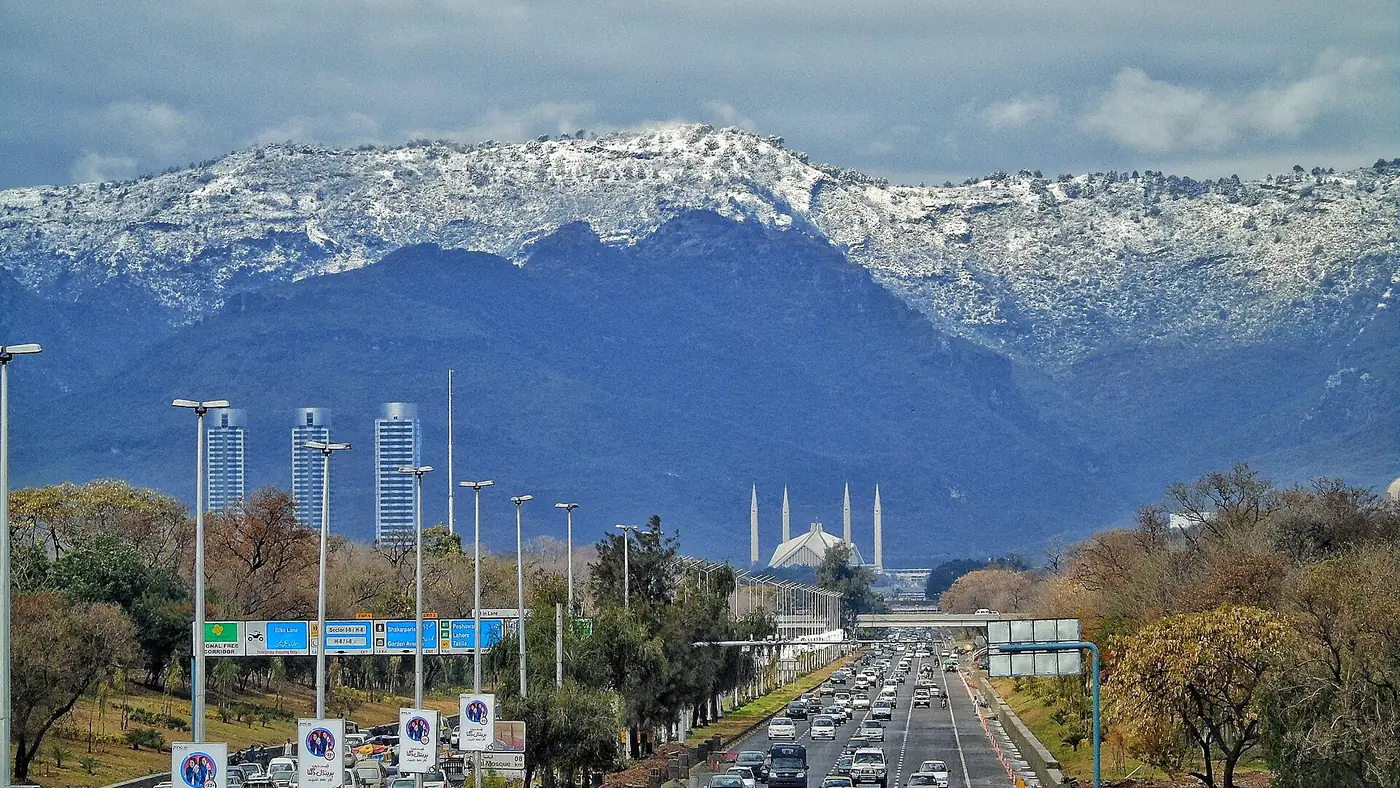
Tilla Charouni, at 1,604 metres, is the highest point in the Margalla Hills and sits on the boundary between Islamabad and Haripur district. Unlike the numbered Margalla trails, it isn't a maintained, signposted route, which makes it a step up in difficulty and a genuinely useful test hike if you're building up to something bigger in the north.
This guide covers the route from Shahdara, how long it takes, what to carry, and why it's worth doing before a trek at real altitude.
| At a glance | |
|---|---|
| Summit altitude | 1,604 m, the highest point in the Margalla Hills |
| Starting point | Shahdara valley, near Bhara Kahu |
| Height gained from Shahdara | Roughly 900 to 1,000 m |
| Time up | Around 3 to 4 hours for most hikers, more for a slower pace |
| Difficulty | Moderate to hard: unmarked path, steady climbing, no facilities |
| Best months | October to April, avoiding the wettest monsoon weeks |
Where is Tilla Charouni and how do you get there?
Tilla Charouni sits at the eastern end of the Margalla range, on the district line between Islamabad and Haripur, and is topped by an army post and a set of communication towers. There are a few ways up, but the classic route for most hikers starts from the Shahdara valley, which also makes a good picnic stop in its own right; see our Shahdara guide for the drive in.
From central Islamabad, Shahdara is roughly 30 to 40 minutes by car via Bhara Kahu. Park where the road ends near the stream and picnic area, and the trail begins from there, climbing away from the valley floor into the forest.
The shorter route via Pir Sohawa
There's also a steeper, shorter option that starts higher up, from a track near the Dino Valley theme park off the Pir Sohawa road. Parking there already sits at around 1,300 metres, which cuts the climb to roughly 300 metres over about an hour, making it noticeably quicker than the Shahdara approach. The trade-off is the gradient: it's the steepest way up, with less shade and no stream to break up the climb, so it suits a hiker who wants a short, hard push rather than the longer, more varied Shahdara route.
The route from Shahdara
From the Shahdara valley floor, the path climbs steadily through pine and broadleaf forest, gaining most of its height over a sustained, unrelenting ascent rather than a series of short, sharp sections. There isn't a single obvious, waymarked trail the whole way, and paths made by hikers, shepherds and forest workers branch off at various points, so this is not a hike to start without either a downloaded GPS track or a local guide.
Most hikers cover the roughly 900 to 1,000 metres of ascent in three to four hours, depending on fitness and how many stops you take. The top is marked by an army post and communication towers, and on a clear day you get a genuine view over the Margalla range, the Islamabad plain and, in good visibility, the hills beyond towards the north. Expect the presence of army personnel near the summit, and follow whatever instructions they give about where you can go and what you can photograph.
How hard is it?
Tilla Charouni is meaningfully harder than any of the numbered Margalla trails. There's more height to gain, the path is less defined, and there are no facilities, water points, benches or signage anywhere on the route. It suits hikers who are already comfortable on Trail 3 or Trail 5 and want the next step up, rather than a first hike in the hills; our Margalla Hills trails guide covers those numbered routes if you want an easier introduction first.
Fitness matters more than technical skill here. There's no scrambling or exposure to speak of, but the sustained climb with a loaded pack is genuinely tiring, and a slow, unfit group can turn a four-hour hike into a much longer day.
What to carry
- At least two litres of water per person. There is no reliable water source on the route, and the climb is long enough to need it.
- Proper hiking shoes, not trainers. The path is often loose underfoot, especially after rain.
- A map or downloaded GPS track, since the trail isn't signposted and paths do branch.
- Food for the day — a proper lunch and snacks, not just a bottle of water.
- A warm layer. The summit is windy and noticeably colder than the valley, even when Shahdara feels warm.
- A fully charged phone, though don't rely on signal once you're well into the forest.
When to hike Tilla Charouni
October to April gives the most comfortable conditions: cooler air for the climb and generally clearer views from the top. Winter mornings can be cold, especially near the summit, so a warm layer is worth the weight even on a day that starts mild in Islamabad.
The monsoon months (July to September) make the path slippery and the forest humid, and cloud regularly hides the view from the top, so this is not the best window unless you're prepared for the conditions. Summer daytime heat on the lower slopes can also be a real drain on a long, exposed climb, so an early start matters if you go between May and September.
Why it's a good warm-up for northern treks
If you're planning a trip further north, in Fairy Meadows, Deosai or the high valleys of Gilgit-Baltistan, Tilla Charouni is a genuinely useful test. It's the closest thing to a proper mountain day hike within reach of Islamabad: several hours of sustained climbing, a real change in temperature from bottom to top, and the need to carry your own water and food rather than relying on a café at the end. If you find it hard, it's worth training more before a longer trek; if it feels manageable, you're in reasonable shape for an easier northern trail. Our travel guide and Fairy Meadows guide cover what a proper northern trek involves once you're ready for it.
Is it worth doing?
Yes, for anyone who already enjoys the Margalla trails and wants more of a challenge without leaving Islamabad for the day. It isn't a beginner's hike, and it isn't a quick outing — budget the better part of a day once you include the drive, the climb up and down, and a reasonable break at the top. Go with at least one other person, start early, and don't attempt it in poor weather or without a way to navigate the unmarked sections. If you're using it to build fitness for a bigger trip north, tell us your plans and we can help with the rest of the itinerary.
Frequently asked questions
How long does the Tilla Charouni hike take?
Around three to four hours up from Shahdara for most hikers, and a similar time back down. Including the drive and a break at the summit, plan for most of a day.
Is Tilla Charouni a marked trail?
No. Unlike the numbered Margalla trails, there's no consistent waymarking, and several paths branch off along the way. Carry a GPS track or go with someone who knows the route.
How high is Tilla Charouni?
1,604 metres, the highest point in the Margalla Hills, on the boundary between Islamabad and Haripur district.
Do you need a guide for Tilla Charouni?
It isn't required, but it's strongly advisable for a first attempt, given the lack of signage and the number of branching paths in the forest.
Is Tilla Charouni suitable for beginners?
Not as a first hike. It's a longer, steeper, less marked route than the numbered Margalla trails and suits hikers who already have some hill-walking experience.