
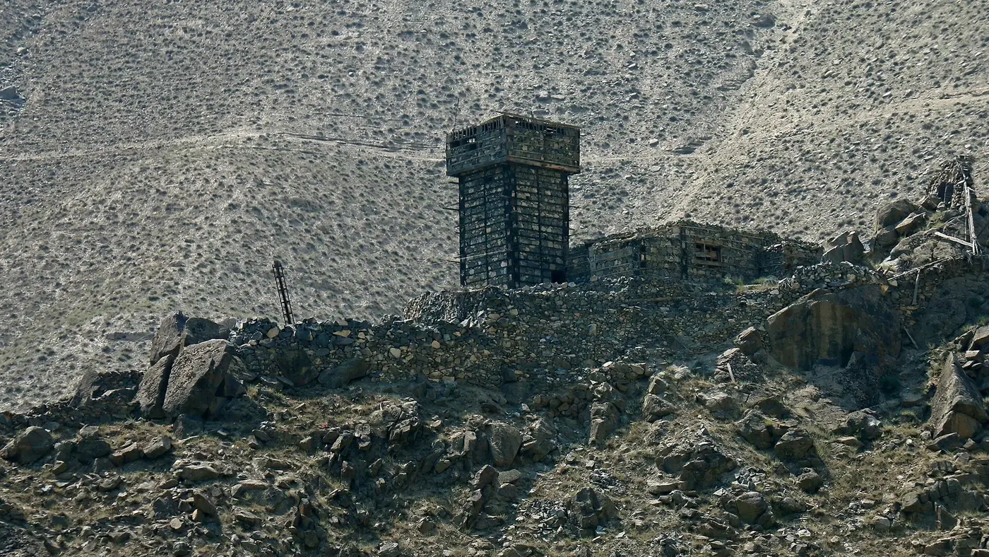
Thak Valley is the side valley the Babusar road climbs through on its way out of Chilas, a run of terraced fields and thin pine forest that gains height fast as it leaves the bare, hot Indus gorge behind. It is not a destination with hotels and a bazaar; it is the green stretch of the drive between Chilas and Babusar Top, worth a stop for the change of scenery and the view back down the valley, and a place to treat with respect after the flash floods of recent summers.
This guide covers where the valley is, what there is to see, and what camping and driving through it actually involve.
| At a glance | |
|---|---|
| Where | Side valley climbing south from Chilas towards Babusar Top |
| Altitude gain | From about 1,265 m at Chilas towards 4,173 m at Babusar Top |
| Road | Part of the Babusar road, open roughly June to October |
| What's there | Terraced fields, orchards, thin pine forest, small settlements |
| Known villages | Jal and Diyung, among others along the road |
| History | Site of Thak's first mosque, built by the preacher known as Ghazi Baba |
| Main risk | Flash floods and cloudbursts in the monsoon months |
| Facilities | Very limited; no established hotels or campsites |
Where Thak Valley is
Leaving Chilas on the Babusar road, the route almost immediately turns off the Indus and climbs south up a side valley known locally as Thak. Within a few kilometres the bare brown hillsides of the main river gorge give way to terraced fields, scattered orchards and pockets of pine forest, a welcome change after the heat of Chilas. The road keeps climbing through Thak for around 50 km before it reaches Babusar Top and drops into the Kaghan valley on the other side.
Thak is not a single village but a string of small settlements and fields along the road and the stream that drains it, including Jal and Diyung, among others. There is no single "Thak town" to aim for; the valley is the drive itself.
What there is to see
The appeal of Thak is the landscape rather than any one sight. Terraced fields climb the lower slopes wherever the ground is flat enough to farm, fed by channels carrying meltwater down from the pass. Higher up, thin stands of pine take over before the trees give way to the open, grassy shoulders below Babusar Top. Looking back down the valley towards Chilas and the Indus is one of the better views on this side of the pass.
The valley also carries a piece of local history: Syed Noor Shah, remembered locally as Ghazi Baba, is credited with bringing Islam to Thak and building its first mosque, which still stands. It is a working mosque rather than a visitor site, so treat it as you would any place of worship.
Camping in Thak Valley
There is no organised camping industry here in the way there is at Fairy Meadows or Deosai, with fixed pitches, hired tents and a lodge dining room. Anyone camping in Thak is doing so informally, alongside the road or in a field, usually with a local landowner's permission asked first.
If you do camp:
- Ask before you pitch. The flat, grassy ground you want is often someone's field. A polite word with whoever is nearby avoids trouble.
- Camp well above the stream bed, not beside it, and never on the gravel banks that look like a flat, convenient pitch. That ground floods without warning.
- Carry your own water, food and a stove. There are no shops to speak of once you leave Chilas.
- Plan for cold nights as you gain height; even a short climb up the valley drops the temperature noticeably after dark.
For most visitors, Thak works better as a stop on the drive over Babusar than as an overnight destination in its own right. Simple hotels in Chilas, covered in our Chilas hotels guide, or in Naran on the far side, are a more comfortable choice for the night.
The flash flood risk
Thak Valley's streams can turn dangerous with very little warning. On 21 July 2025, a cloudburst struck the Babusar road between Jal and Diyung, sending a flash flood down the valley that swept away parked vehicles and killed several people, including tourists; the Pakistan Army helicoptered out around 200 stranded travellers in the days that followed. It was not the first such event on this road, and it will not be the last.
The practical rules are simple: don't stop, park or camp in or beside a streambed, especially in July and August; watch the sky and move on if cloud is building over the higher ground; and if there has been heavy rain anywhere upstream, wait for local advice before continuing. Our Babusar Pass guide covers road conditions and timing for the drive as a whole.
Is Thak Valley worth stopping for?
As a planned destination on its own, no; there is little to organise a trip around. As part of a drive over Babusar Pass from Chilas, yes: it is the greenest, most scenic stretch of that road, and a short stop to look at the terraces and the view back down the valley costs nothing and adds little time. Treat it as a viewpoint and a change of scenery, not as a place to linger after rain or after dark. If you want help working out where this fits into a wider route north, our trip planner is a good place to start.
Frequently asked questions
Where is Thak Valley?
It is the side valley the Babusar road climbs through immediately after leaving Chilas, running roughly 50 km up towards Babusar Top.
Is there accommodation in Thak Valley?
No established hotels or campsites. Most travellers pass through on the drive and sleep in Chilas or Naran instead.
Can I camp in Thak Valley?
Informally, with a landowner's permission, well away from any stream bed. There is no organised campsite, so bring your own water, food and shelter.
Is Thak Valley dangerous?
The road and its streams are prone to flash floods and cloudbursts in the monsoon, as happened on 21 July 2025 between Jal and Diyung. Avoid stopping near streambeds, especially in July and August.
What is there to see in Thak Valley?
Terraced fields, orchards and pine forest on the climb out of Chilas, views back down towards the Indus, and the historic mosque associated with the preacher Ghazi Baba.
When is the road through Thak Valley open?
It follows the Babusar road's season, open roughly from June to October and closed by snow in winter. Check current conditions before you travel.
.jpg)