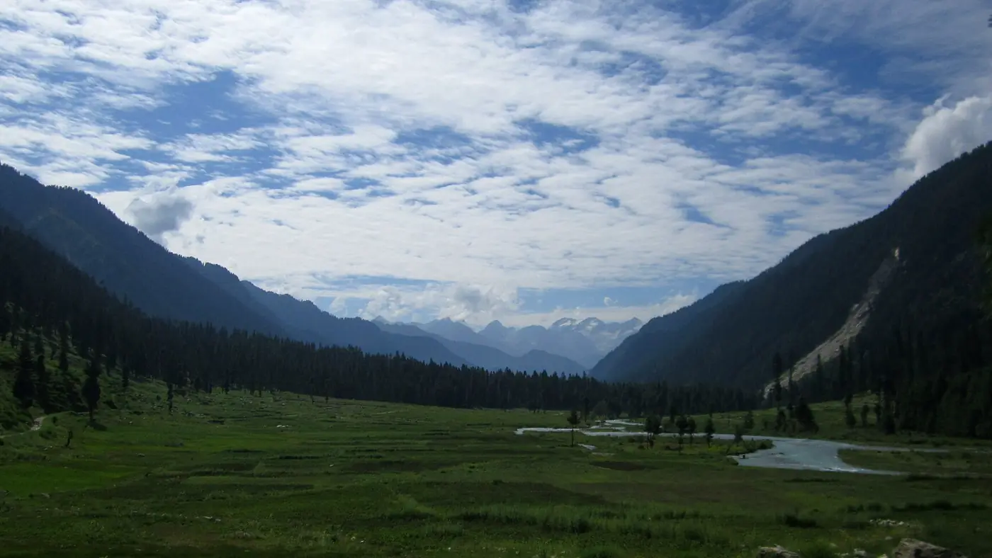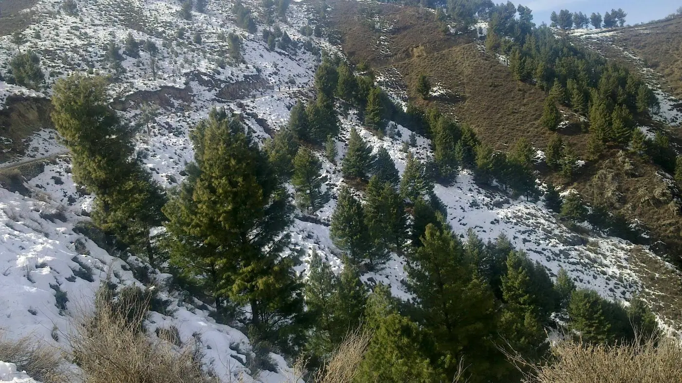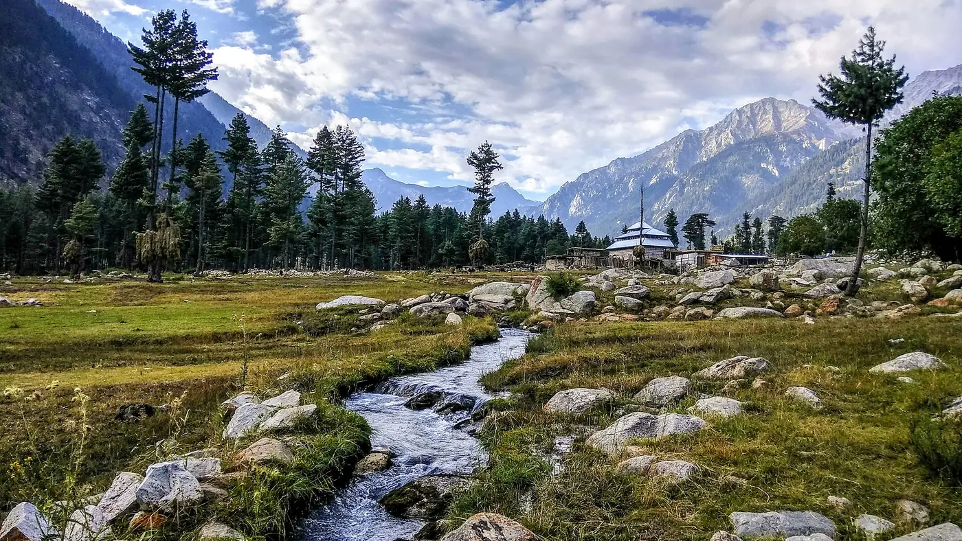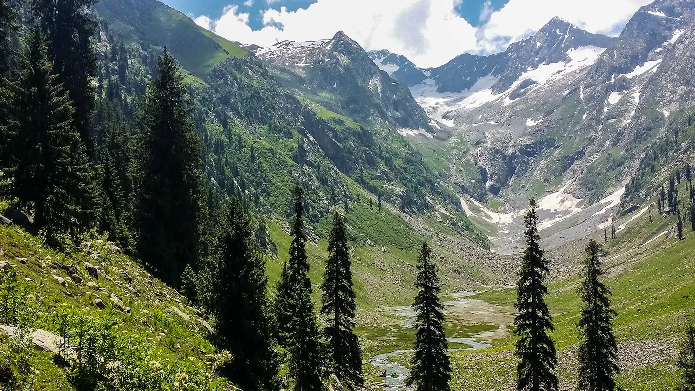
The main places to visit in Upper Dir are the Kumrat valley, with its forest, waterfall and Kala Chashma; Thal and its wooden mosque; the high meadow of Jahaz Banda and Katora Lake above it; the Badgoi Pass to Swat; the villages of the valley road, such as Sheringal and Kalkot; the Usheri valley west of the N-45; and Dir town itself, with the Lowari Tunnel beyond it on the road to Chitral. Almost everything worth seeing lies north of Dir town, and most of it is summer-only.
Upper Dir has also had a difficult 2026 for security, covered in a section of its own below. Read it before you plan.
| At a glance | What it is | Time needed | Access |
|---|---|---|---|
| Dir town | District headquarters, old Nawab capital | An hour or two | On the N-45 |
| Sheringal and Kalkot | Villages on the Kumrat road | Short stops | Valley road |
| Thal | Last village, wooden mosque | An hour, or a night | Car, in dry weather |
| Kumrat forest and Kala Chashma | Forest, river, waterfall, camps | A full day or more | Jeep from Thal |
| Jahaz Banda and Katora Lake | High meadow and glacial lake | 2 to 3 days | Jeep, then on foot |
| Badgoi Pass | Jeep pass to Swat, about 3,500 m | Most of a day | 4x4, summer only |
| Usheri valley | Side valley, waterfall, lake trek | A day or more | Off the N-45 at Darora |
| Lowari approach | Tunnel and pass towards Chitral | On the way through | N-45 north of Dir |
Dir town
Dir, at about 1,420 metres on the Dir river, was the capital of the princely state of Dir until it was fully merged into Pakistan in 1969, and it has been the headquarters of Upper Dir since the old district was divided in 1996. Today it is a busy market town and a transit stop rather than a sight in itself.
Its bazaar is known for Dir knives and hand-woven woollens, and it is the last dependable place for fuel, cash and a proper meal before the Kumrat road or the Lowari Tunnel. Most visitors stop for an hour on the way through. Dir is one of the rainiest parts of the country, so expect showers even in summer.
Along the Kumrat road: Sheringal, Patrak and Kalkot
The Kumrat road leaves the N-45 about 10 km short of Dir town, at a gateway known as Bab-e-Kumrat, and follows the Panjkora north. Nobody comes to Upper Dir for these villages alone, but they mark the change from Pashto-speaking Dir to Dir Kohistan.
- Sheringal, about 35 km up the road at around 1,370 metres, is home to Shaheed Benazir Bhutto University.
- Patrak, Biyar and Barikot follow, strung along the river. From Patrak upwards you are in Dir Kohistan, and the road is at its roughest in places.
- Kalkot, below Thal, gives its name to the tehsil and is one of the few places where Kalkoti is spoken, a small language related to Shina, alongside Gawri. It is a short stop rather than a destination.
Drive this road in daylight. It is slow, broken in many places, and prone to landslides after rain.
Thal
Thal is the last village of the valley and the end of the road for ordinary cars. It is where you hire jeeps, find the simple hotels, and buy whatever you forgot. Its Jamia Masjid, built mainly of deodar wood in the 19th century, burned down in 1950 and was rebuilt in 1953 with great wooden pillars carried in by villagers. Visit outside prayer times, dress modestly and ask before going in.
The Kumrat forest, waterfall and Kala Chashma
This is the reason most people come to Upper Dir. Above Thal, a jeep track follows the Panjkora through a forest of deodar, blue pine and fir, where the river splits into channels with grassy islands and the seasonal camps stand among the trees. The valley covers about 346 square kilometres.
A day by jeep from Thal takes in the camping areas, Kumrat waterfall and Kala Chashma, the "black spring", where most jeeps turn round. With a second day, go on beyond Kala Chashma towards the meadows of Dojanga. Our Kumrat Valley guide covers the valley stop by stop.
Jahaz Banda and Katora Lake
For walkers, these are the high points of Upper Dir. Jahaz Banda is a wide meadow at about 3,100 metres, reached by jeep from Thal to Taki Top and then a walk of three to four hours. Katora Lake, a glacial lake at about 3,500 metres, lies three to four hours further up over rough, bouldery ground. Allow two days for the meadow alone and three with the lake; our Jahaz Banda trek guide has the details.
Badgoi Pass and Dasht-e-Laila
The Badgoi Pass, at about 3,500 metres, carries a rough jeep track from Thal over the mountains to Utror and Kalam in Swat. Just below the top on the Dir side lies Dasht-e-Laila, a high flowering meadow reached by a short side track. The pass is open only in high summer, usually from late June or July to October, and needs a 4x4. You can visit the top as a day trip or cross it as a loop with Swat; see our guide to crossing from Kalam to Kumrat via the Badgoi Pass.
Usheri valley
The Usheri valley, also written Ushirai Dara, is a side valley off the N-45, reached through Darora, a town on the main road north of Timergara; the valley lies about 25 km from Darora. Its best-known sights are the Lamchar waterfall and Saidgai Lake, a high lake that is roughly six hours on foot from the valley and needs a guide.
Check the situation before you go. In mid-August 2026 police fought militants for more than a day in this part of Upper Dir, and residents of Ushirai Dara and nearby valleys formed armed volunteer groups in response. Until the area has been calm for some time, it is not a place to visit casually.
The Lowari approach
North of Dir town the N-45 climbs towards the Lowari Pass, the old gateway to Chitral at 3,118 metres. The road over the top is closed by snow from late November to late May, and since July 2017 traffic has used the Lowari Tunnel beneath it, whose main bore is 8.5 km long. For most visitors this is a road to drive through on the way to Chitral rather than a destination; our guide to driving from Islamabad to Chitral covers the route.
Is it safe to visit Upper Dir?
Pakistani tourists visit Kumrat in large numbers every summer, but 2026 has been a bad year for security in the district. In mid-August police fought militants for more than a day near Wari and the Usheri valley, and on the night of 15 August militants attacked the deputy commissioner's residence and a PTDC facility at Panakot near Dir town.
The UK government advises against all travel to Upper and Lower Dir and to the N-45 from Mardan to Chitral, and also to anywhere within 10 miles of the Afghan border, which runs along the district's north-west. Overseas visitors' own governments may say the same, and ignoring that advice can void travel insurance.
If you do go, check local news and current police advice before you set off, keep to the main tourist areas, travel in daylight, and carry your CNIC for the checkposts.
How to fit Upper Dir into a trip
For most people, Upper Dir means Kumrat. Allow at least three days from Islamabad for Thal and the forest, five for Jahaz Banda and Katora Lake as well, and add the Badgoi Pass if you are coming from or going on to Kalam. Dir town is a stop on the way; the Usheri valley and the Lowari approach are for another trip, once the security picture is clearer.
The district suits people who are happy with long drives, simple rooms, jeeps and walking. It suits families with young children less well. If you would like help choosing the right parts for your group and dates, send us your plans.
Frequently asked questions
What is Upper Dir famous for?
Mainly the Kumrat valley, with its deodar forest along the Panjkora River, and the high meadow of Jahaz Banda with Katora Lake above it. Dir town is known for its knives, and for being the road to Chitral through the Lowari Tunnel.
What is the most beautiful place in Upper Dir?
Most visitors would say the Kumrat forest for an easy trip, and Jahaz Banda and Katora Lake for walkers. The Badgoi Pass and Dasht-e-Laila are the best high-summer drive.
How many days do I need for Upper Dir?
Three days from Islamabad for Kumrat, including the drive both ways. Five days if you also want Jahaz Banda and Katora Lake.
When is the best time to visit Upper Dir?
June to September, when the Kumrat track, the camps and the high meadows are open. The Badgoi Pass and Katora Lake are most reliable from July to September.
Is Laram Top in Upper Dir?
No. Laram Top is a hill station in Lower Dir, reached from the Timergara and Chakdara side.